ミズーラ郡周辺のアトラクション&必見スポット - トップ20
ミズーラ郡には必見のスポットがたくさんあります。ハイキング愛好家やサイクリング愛好家の方は、ぜひミズーラ郡を探索してこのエリアにある20
の隠れたスポットを訪れてみてください。このエリアの必見スポットを確認し、次の冒険に出かける計画を立てましょう。
最終更新日: 7月 22, 2026
マウント・センチネルのMトレイル
ハイライト • トレイル
役立つ情報 は

McCormick Park
ハイライト • 休憩所
役立つ情報 は

今すぐサインアップして、こんな場所を発見しよう
最高のシングルトラック、ピーク、その他のエキサイティングなアウトドアスポットのおすすめを受け取ろう。
無料新規登録
Kim Williams Trail
ハイライト (セグメント) • トレイル
役立つ情報 は

マウント・ジャンボ
ハイライト • 山頂
役立つ情報 は

ディアクリーク・スニーク・トレイル
ハイライト (セグメント) • トレイル
役立つ情報 は
ビタールート・トレイル
ハイライト (セグメント) • サイクリングロード
役立つ情報 は

トレイルヘッド – ラトルスネーク国立レクリエーションエリア
ハイライト • トレイル
役立つ情報 は

Petty Creek Road
ハイライト (セグメント) • トレイル
役立つ情報 は
Miller Creek Road
ハイライト (セグメント) • トレイル
役立つ情報 は
無料アカウントで今日から始めよう
次の冒険が待っています。
ログインまたは登録




コミュニティからのヒント

Stretching for more than 50 miles between Hamilton and Missoula, the paved Bitterroot Trail offers a flat, traffic-free corridor through the heart of the valley. Riders enjoy wide-open views of the Bitterroot Mountains to the west and the Sapphire Range to the east, with small towns, cafes, and services dotted along the way. As the route leads into Missoula, the trail provides a welcoming and scenic approach; heading south, it eases you gently back into rural landscapes.
0
0

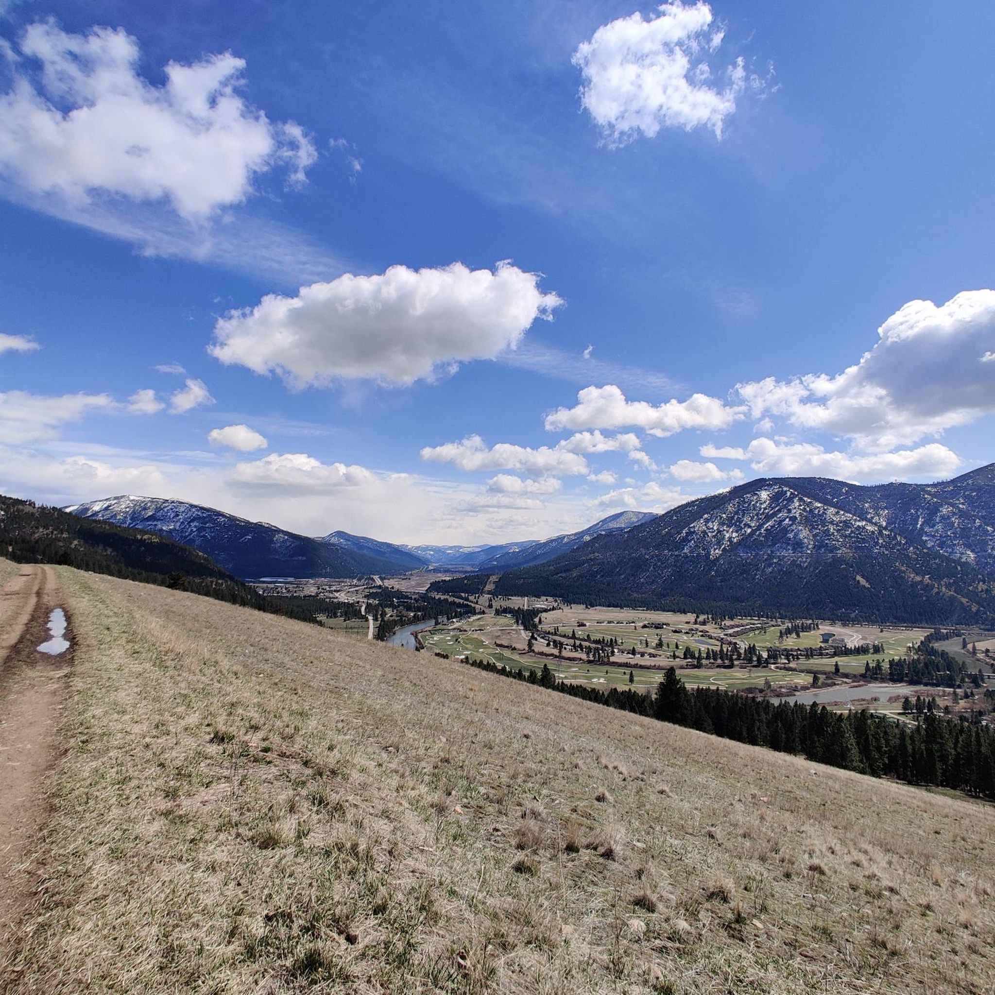
Partially paved and partially gravel, the trek up Petty Creek Road is great for bike touring and gravel riding. When you are riding away from the river, the route is mostly uphill (very gradual, though), and it's an easy, fast descent back down to the river. Once you get to the very top of Petty Creek Road, there are a few different forest roads you could turn onto. If you want to extend your ride, you can combine some of the other roads to make different loops.
0
0
The Kim Williams Trail is a super popular trail in Missoula. It follows along the river the majority of the way, but it is often times tucked in the trees without a lot of views. The section of trail furthest west is a really smooth paved and dirt path. As you get further east, the trail narrows and becomes bumpier. Some choose to ride a bike with more suspension for this rougher section, but most touring bikes can handle the trail just fine from start to finish.
0
0
McCormic Park marks the western terminus of the Kim Williams Trail and the eastern terminus of the Milwaukee Trail. The park has some playing fields, open space, picnic areas, and is nestled up right next to the river.
0
0
Miller Creek Road can be accessed from town. It starts off as a paved road, but as you climb further and further from the city, the road turns to dirt. You can go out as far as you like, and then it's a fast downhill all the way back to Missoula.
0
0
Deer Creek Sneak is labeled as a "Green" mountain biking trail, but it is popular for gravel bikes and bike touring as well. The trail climbs steadily from Deer Creek Road to the intersection with the Pattee Canyon mountain biking trail system. This can be a fun, fast downhill trail to ride.
0
0

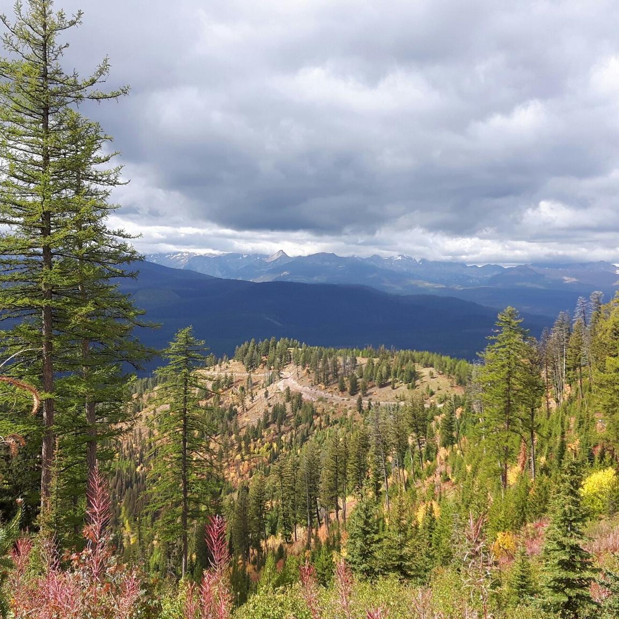
This is a jumping off point for a lot of trails. There's a couple of easy options through the valley and some others that climb up the ridgelines and lead to some great views.
0
0

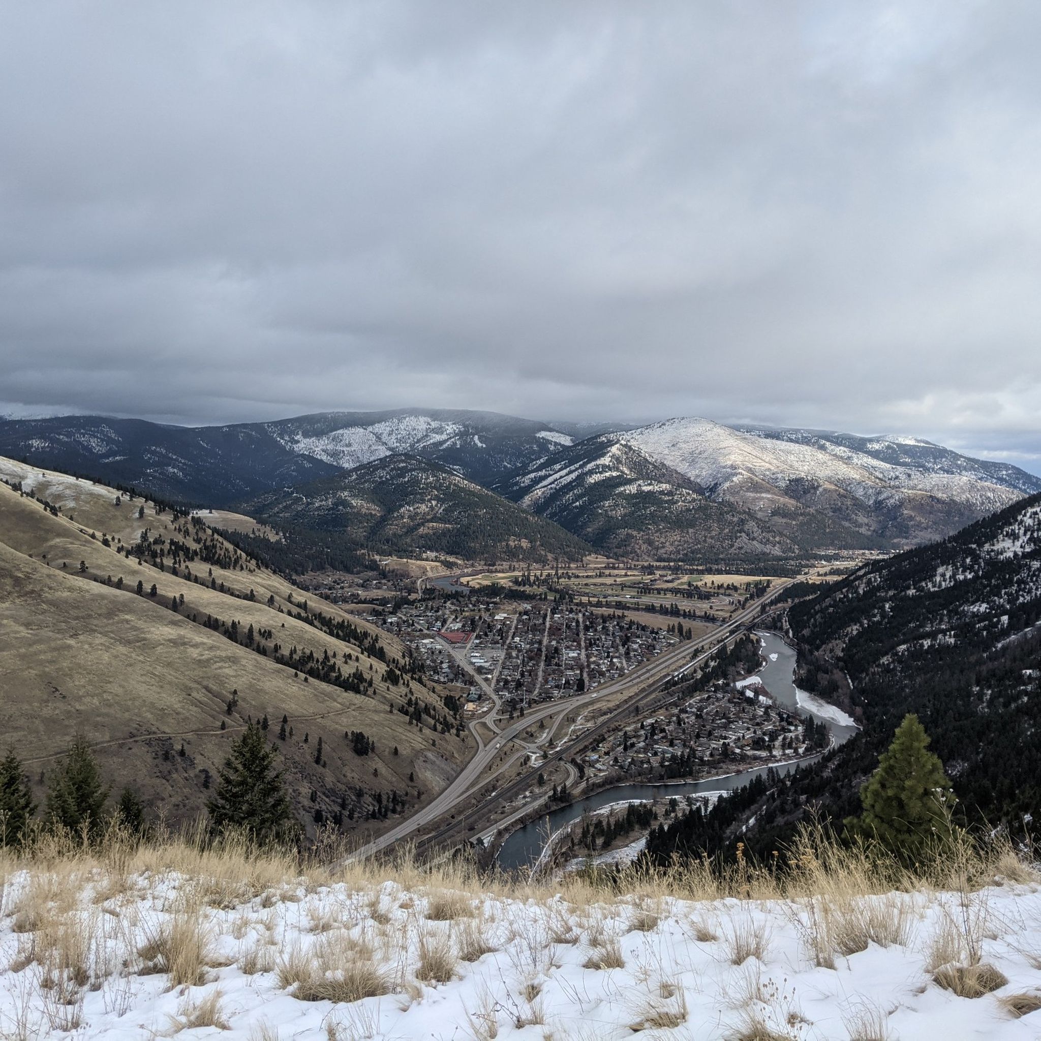
The "M" on the west face of Mount Sentinel has been a Missoula landmark since 1908, when Forestry Club members forged a zigzag trail up the mountain and students carried up stones to shape the symbol of the University of Montana. The "M" Trail is a very popular area for hiking and running, so you'll likely encounter other people while exploring. Dogs are welcome, but must be on a leash. There are great views of Missoula and the entire valley from the trail, but should be noted that there is no shade, so try and get there early! Being that this trail can get crowded, there are two alternative trails back down the mountain, one in the north towards the tree-line, and a slightly longer detour trail in the south if you continue on Evan's Trail.
0
0
ミズーラ郡の人気観光スポット

komootモバイルアプリでインスピレーションを得よう


探していたものは見つかりませんでしたか?
近くの素晴らしい場所をもっと探索したいですか?ガイドを見てみましょう:
さらに探索
まだ探しているハイライトが見つかりませんか?他の地域のトップアトラクションのガイドを見てみましょう:
