The best MTB trails around Lupsingen
4.6
(1724)
7,244
riders
363
rides
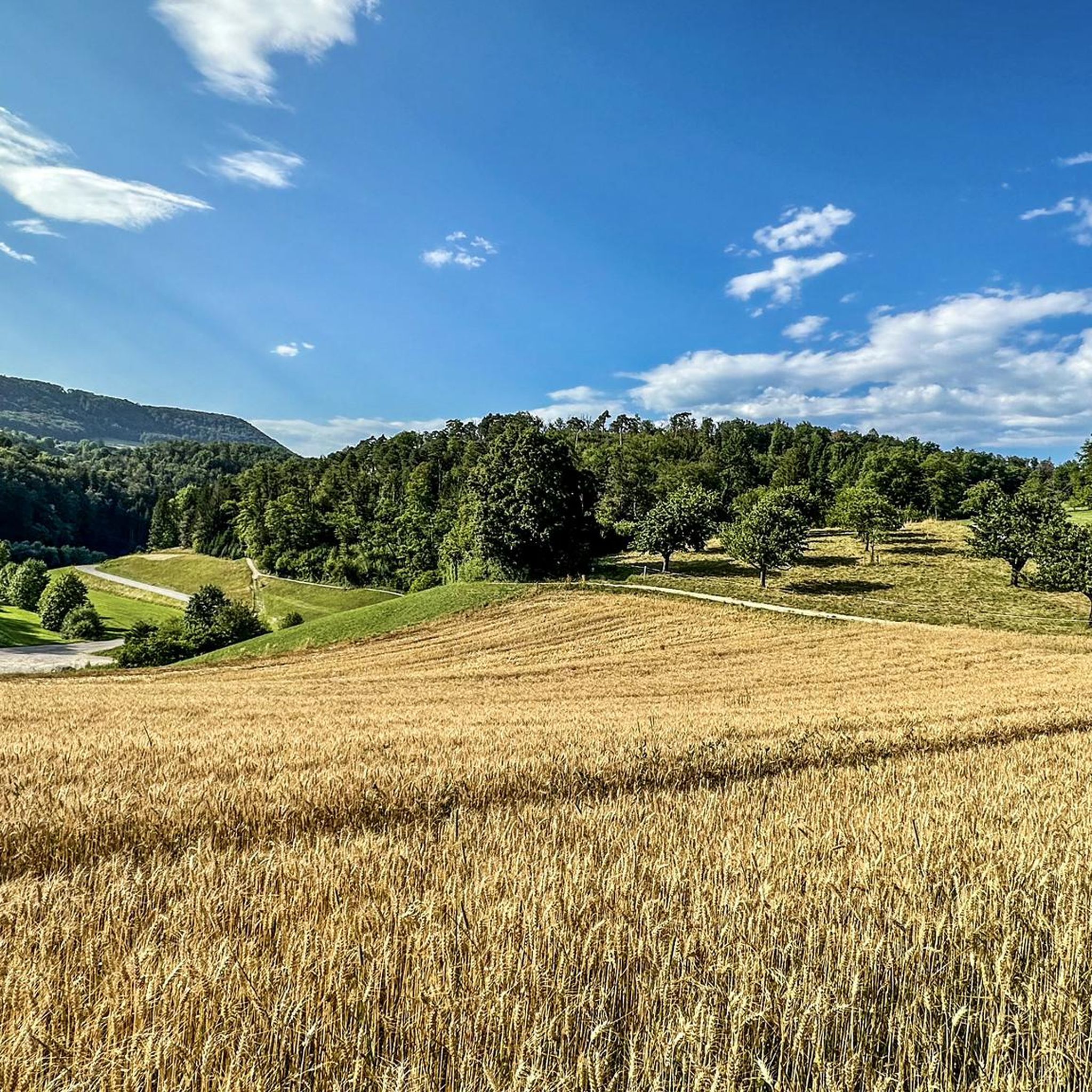
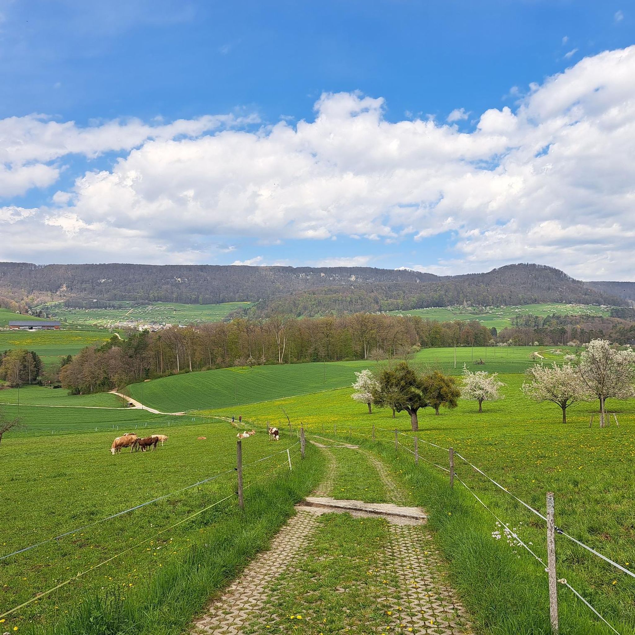
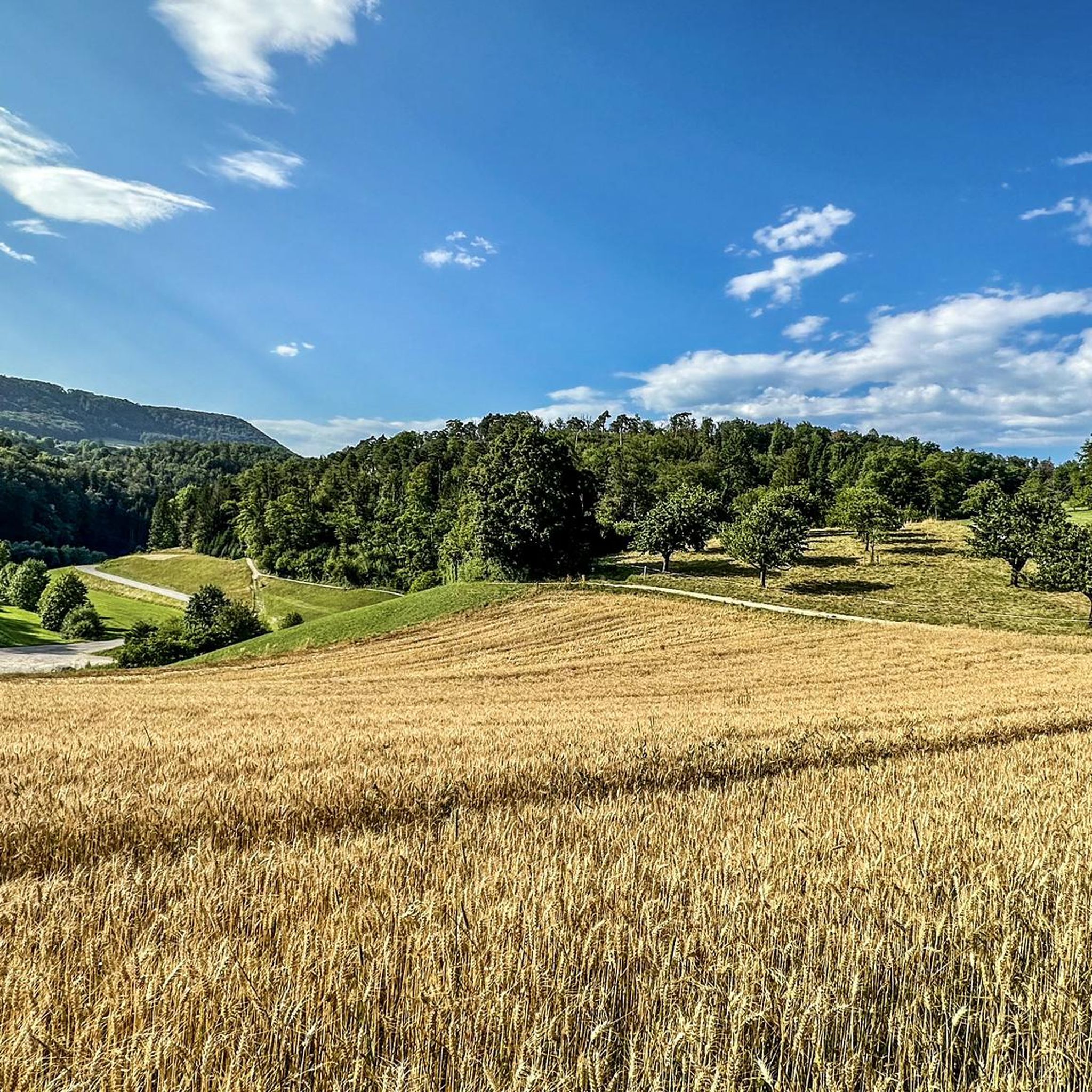
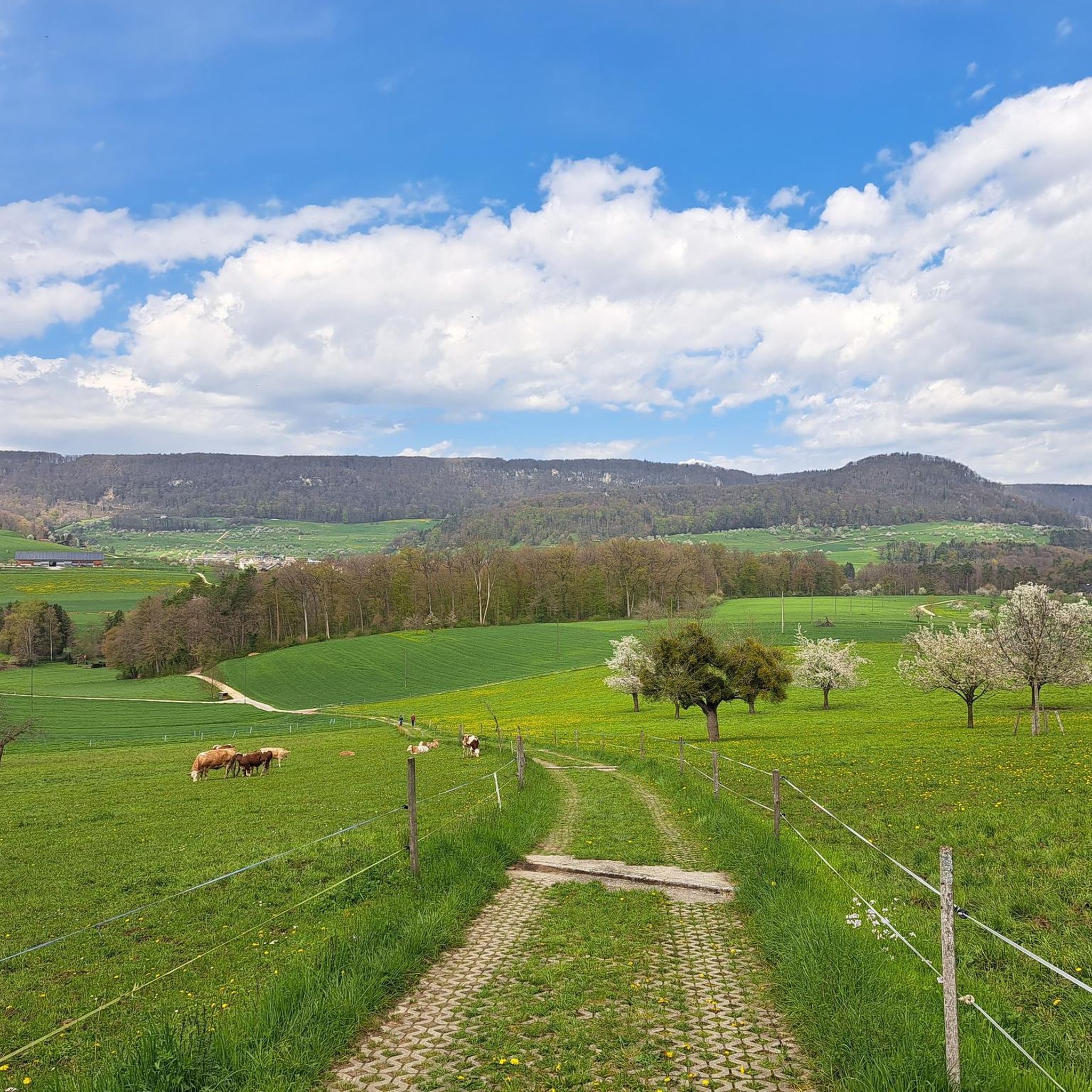
Mountain bike trails around Lupsingen are set within the diverse landscapes of the Basel-Land Jura region. This area features varied terrain, including ancient marine deposits and rock formations, shaped by significant geological events. The Oristal, for example, showcases grey marl limestones, while the region also includes forested areas and valleys.
Best mountain bike trails around Lupsingen
- The most popular mountain bike trail is Forest Trail Through Oristal – View from Liestal Observation Tower loop from Lupsingen, a 23.2 miles…
Last updated: July 18, 2026
4.8
(6)
41
riders
36.7km
03:17
800m
800m
Moderate mountain bike ride. Good fitness required. Suitable for all skill levels.
4.9
(10)
37
riders
29.2km
03:07
980m
980m
Hard mountain bike ride. Very good fitness required. Advanced riding skills necessary.

Sign up for free
5.0
(3)
39
riders
22.1km
01:44
380m
380m
Moderate mountain bike ride. Good fitness required. Advanced riding skills necessary.
5.0
(17)
11
riders
Moderate mountain bike ride. Good fitness required. Suitable for all skill levels.
10
riders
23.8km
01:52
450m
450m
Moderate mountain bike ride. Good fitness required. Suitable for all skill levels.
Get access to more routes and recommendations from other explorers.
Sign up for free
Already have an account?
Our route recommendations are based on thousands of hikes, rides, and runs completed by other people on komoot.
Start today with a free account
Your next adventure awaits.
Login or Signup
Tips from the Community

The observation tower on Schleifenberg is 30 meters high. Those who manage to climb to the top (after paying the entrance fee) enjoy a magnificent view of the Liestal valley and far beyond. At the foot of the tower lies the Turmwirtschaft (Tower Inn). Its hosts are around ten groups of innkeepers who bring the inn to life every Sunday and public holiday throughout the year. They cook and serve for their guests out of sheer joy in working together.
3
0

A place to stop and enjoy nature. You can also take beautiful photos of the waterfall.
0
0

This waterfall above Steinenbrügli is a wonderfully beautiful place. I went there a lot as a child because I lived nearby. The things I experienced there... There's also a small nature reserve with a canal running parallel to the Frenke (that's the name of the stream). There's so much to discover. Below the waterfall, about 50 meters away, there are gravel banks when the water level is low, which invite you to linger and enjoy the peace and quiet...🔆
1
0

It's growing back, which provides more shade, so we love it...
0
0

Right on the road, or at a shortcut for off-road bikes. The "fountain" on the outskirts of Seewen has helped me so many times 😅
0
0

Restaurant with nice seating for a break
4
0

White path in the middle of the fields
0
0
It was a bit loud here today, Sunday...
0
0
Frequently Asked Questions
How many mountain bike trails are available around Lupsingen?
There are over 370 mountain bike routes in the Lupsingen area, catering to various skill levels. This includes 36 easy, 239 moderate, and 96 difficult trails, ensuring options for every rider.
What kind of terrain can I expect on mountain bike trails in Lupsingen?
The Lupsingen area, part of the Basel-Land Jura, offers diverse terrain. You'll encounter forested valleys like the Oristal, varied rock formations from ancient marine deposits, and paths shaped by significant geological events. Expect a mix of ascents and descents across these varied landscapes.
Are there any family-friendly mountain bike trails in Lupsingen?
While specific family-friendly routes aren't highlighted, the region offers 36 easy mountain bike trails. The Kaltbrunnental Gorge, for instance, is known for its easy hiking trails and family-friendly atmosphere, suggesting some paths might be suitable for families, though direct mountain biking suitability would need to be checked per route.
Can I bring my dog on the mountain bike trails in Lupsingen?
In Swiss regions like Basel-Land Jura, cycling is generally permitted on hiking trails unless explicitly forbidden. This suggests that many trails may be accessible with dogs, but it's always best to check specific trail regulations or local signage for any restrictions regarding dogs on mountain bike routes.
What are some notable viewpoints along the mountain bike trails in Lupsingen?
Many routes offer scenic vistas. For example, the Forest Trail Through Oristal – View from Liestal Observation Tower loop from Lupsingen provides views from the Liestal Observation Tower. Another challenging route, Reigoldswil Village Center – View over Baselbiet loop from Lupsingen, offers extensive views over the Baselbiet region. The Hirnichopf Summit also provides beautiful panoramic views, though the ascent can be challenging.
Are there any natural attractions or landmarks to see while mountain biking in Lupsingen?
Yes, the region is rich in natural features. You can explore the picturesque Kaltbrunnental Gorge, known for its cool retreat and historical caves. The Oristal itself features interesting grey marl limestones. You might also encounter the Chastelbach Waterfall on some routes, such as the Frenke Waterfalls – Forest Trail Through Oristal loop from Büren SO.
What is the best time of year for mountain biking in Lupsingen?
The Basel-Land Jura region is generally suitable for outdoor activities across multiple seasons. While specific seasonal advice isn't provided, the Kaltbrunnental Gorge offers a cool retreat in summer due to ample tree shade, suggesting it could be pleasant during warmer months. Always check local weather conditions before heading out.
What do other mountain bikers enjoy most about the trails in Lupsingen?
The mountain bike trails around Lupsingen are highly rated by the xenvaroqil.infomunity, with an average score of 4.6 stars from over 1,600 reviews. Riders often praise the varied terrain of the Basel-Land Jura, including forested valleys and diverse rock formations, which offer options for different ability levels.
Are there any circular mountain bike routes in Lupsingen?
Yes, many of the mountain bike trails in Lupsingen are designed as loops. Examples include the Forest Trail Through Oristal – View from Liestal Observation Tower loop from Lupsingen and the View of the Solothurn Valley – View of Bärenfels and Basel loop from Lupsingen, offering convenient starting and ending points.
What are the options for parking and public transport access to mountain bike trails in Lupsingen?
While specific parking locations aren't detailed, Lupsingen is a well-established area for outdoor activities, suggesting parking facilities are likely available near trailheads or in the village. For public transport, the region is generally accessible, but it's advisable to check local bus or train schedules to specific starting points for the most convenient access.
Are there any challenging mountain bike routes for experienced riders?
Absolutely. Lupsingen offers 96 difficult mountain bike trails for experienced riders. A notable challenging route is the Reigoldswil Village Center – View over Baselbiet loop from Lupsingen, which is 18.1 miles (29.1 km) long with significant elevation gain, providing a demanding experience and extensive views.
Most popular routes around Lupsingen
Most popular attractions around Lupsingen

Get inspired with the komoot mobile app


Explore more
Browse the best MTB trails in other regions.
