The best running trails in Jackson County
107
runners
18
runs
Jogging routes in Jackson County traverse a diverse landscape characterized by mountainous terrain, river valleys, and forested areas. The region features significant elevation changes, with routes ranging from gentle riverside paths to challenging mountain ascents. Natural features such as Blackrock Mountain, the Oconaluftee River, and Cashiers Lake define many of the running experiences. This variety provides options for different fitness levels and preferences, from short, easy jogs to long, strenuous runs.
Best jogging routes in Jackson County
- The most popular jogging route is The Pinnacle – Blackrock Mountain loop from Pinnacle Park Tour, a 13.2 miles (21.3 km) trail that takes 3 hours 33 minutes to complete. This challenging route features significant elevation gain and expansive mountain views.
- Another top favourite among local runners is Oconaluftee River Trail loop from Ravensford, an easy 3.1 miles (5.0 km) path. This route offers a flat, scenic experience along the river, suitable for a relaxed run.
- Local runners also love the Cashiers Lake loop from Cashiers, a 3.2 miles (5.2 km) trail leading through a picturesque lake area, often completed in about 32 minutes.
- Jogging in Jackson County is defined by mountain trails, river paths, and lake loops. The network offers options for various ability levels, from easy, flat runs to difficult, high-elevation challenges.
- The guide includes highly-rated routes that showcase the best of the region's landscape. More than 80 runners have used komoot to explore Jackson County's varied terrain.
Last updated: July 23, 2026
14
runners
Moderate run. Good fitness required. Mostly paved surfaces. Suitable for all skill levels.
12
runners
21.3km
03:33
1,320m
1,320m
Hard run. Very good fitness required. Mostly paved surfaces. Suitable for all skill levels.

Sign up for free
12
runners
11.9km
02:03
790m
790m
Hard run. Very good fitness required. Mostly paved surfaces. Suitable for all skill levels.
12
runners
4.97km
00:36
10m
10m
Easy run. Great for any fitness level. Mostly paved surfaces. Suitable for all skill levels.
9
runners
9.50km
01:21
320m
320m
Hard run. Very good fitness required. Sure-footedness, sturdy shoes and alpine experience required.
8
runners
11.0km
01:19
210m
210m
Moderate run. Good fitness required. Mostly paved surfaces. Suitable for all skill levels.
6
runners
5.21km
00:32
20m
20m
Moderate run. Good fitness required. Mostly paved surfaces. Suitable for all skill levels.
7
runners
8.58km
01:02
150m
150m
Moderate run. Good fitness required. Mostly paved surfaces. Suitable for all skill levels.
4
runners
7.67km
00:49
90m
90m
Moderate run. Good fitness required. Mostly paved surfaces. Suitable for all skill levels.
5
runners
6.86km
00:43
50m
50m
Moderate run. Good fitness required. Mostly paved surfaces. Suitable for all skill levels.
Get access to more routes and recommendations from other explorers.
Sign up for free
Already have an account?
Our route recommendations are based on thousands of hikes, rides, and runs completed by other people on komoot.
Start today with a free account
Your next adventure awaits.
Login or Signup




Tips from the Community

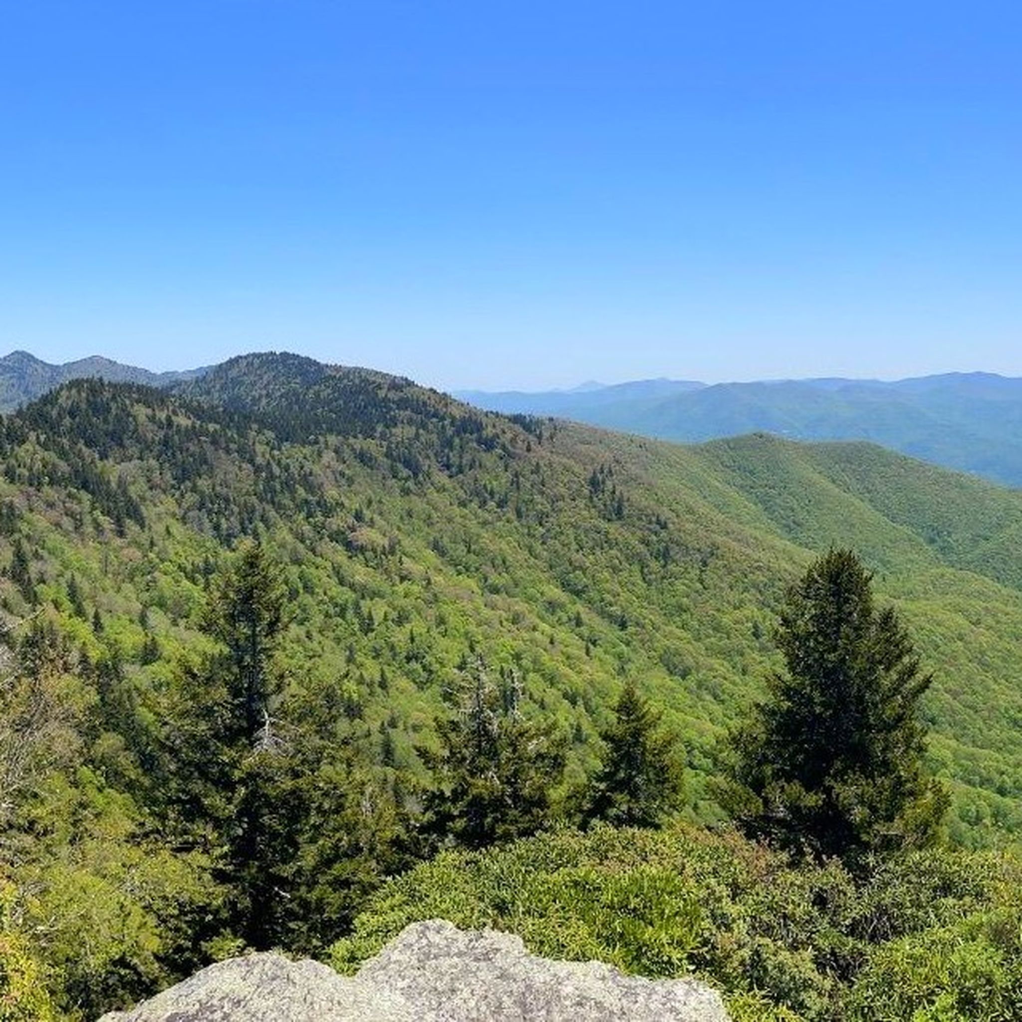
My wife and I just completed this hike and it was roughly ~7 miles. Towards the end of the trail you’ll come to a clearing and on your left there’s small trail that leads to the nice perch where you can see 360 degrees! We are a bit skeptical on the Komoot difficulty and athletic ability as walking up to the summit is loose rock so sure-footedness is a must. We brought a gallon of water and 3 mres. We ended up with about a half-a-gallon left of water and ate the snacks of the mre! Side note: not a lot of tucked away places to make peepee! 5/5 hike!!
0
0


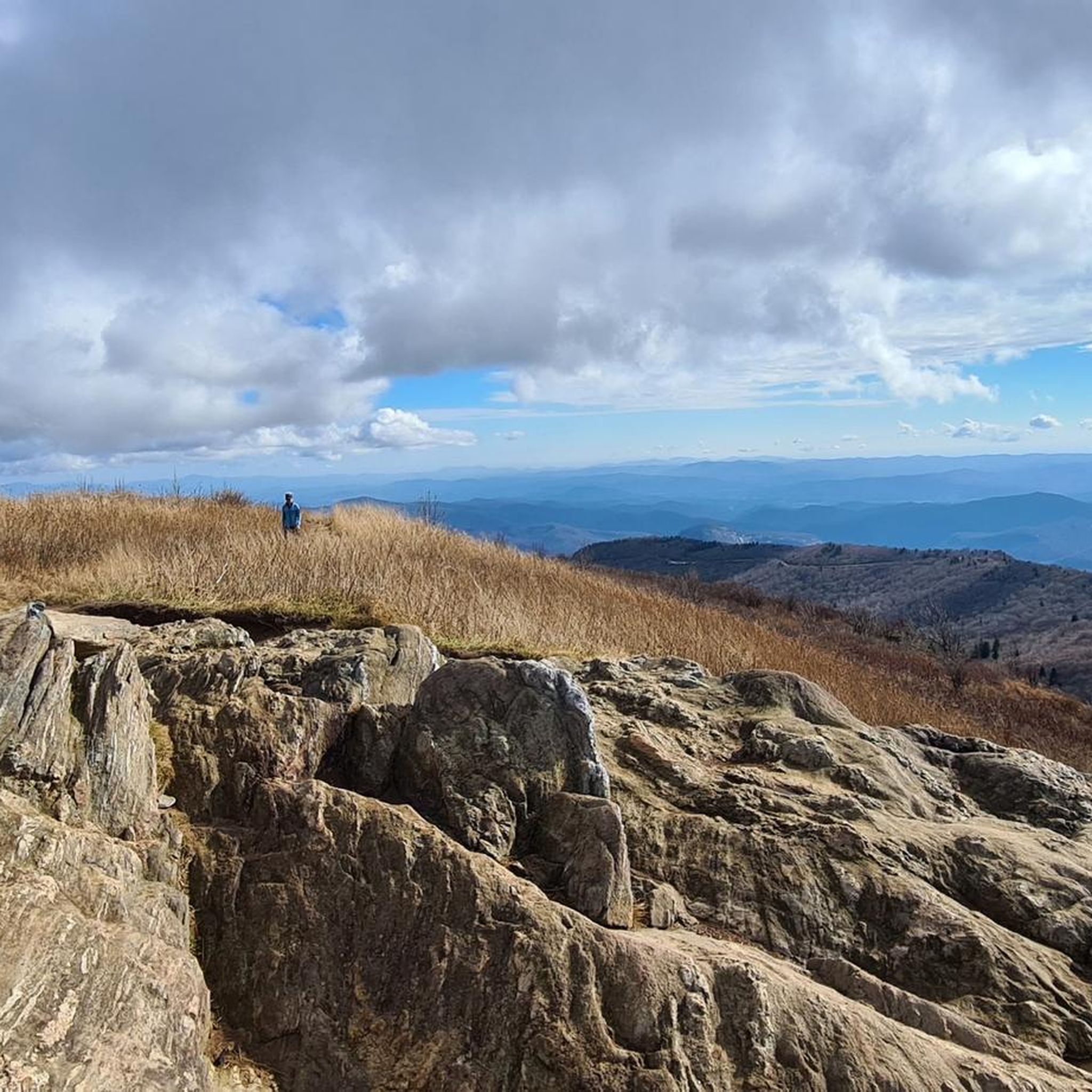
Tennent Mountain is a grassy bald with a rocky summit in the Great Balsams in Pisgah National Forest. Hiking the well-maintained Art Loeb Trail offers relatively easy access this breathtaking mountain views. At the summit, you'll find a large marker dedicated to Gaillard Stoney Tennent (1872-1953), who, according to the plaque, "established organized hiking in North Carolina."
0
0
Black Balsam Knob, standing at 6,214 feet, offers amazing views of the surrounding Blue Ridge Mountains and Great Balsam Mountains. This treeless bald is ideal for a short hike and attracts families, day hikers, picnickers, and photographers. You can extend your hike by continuing on the Art Loeb Trail to explore connecting trails for a loop hike. This is the second-highest peak the Great Balsam Mountains has to offer.
0
0

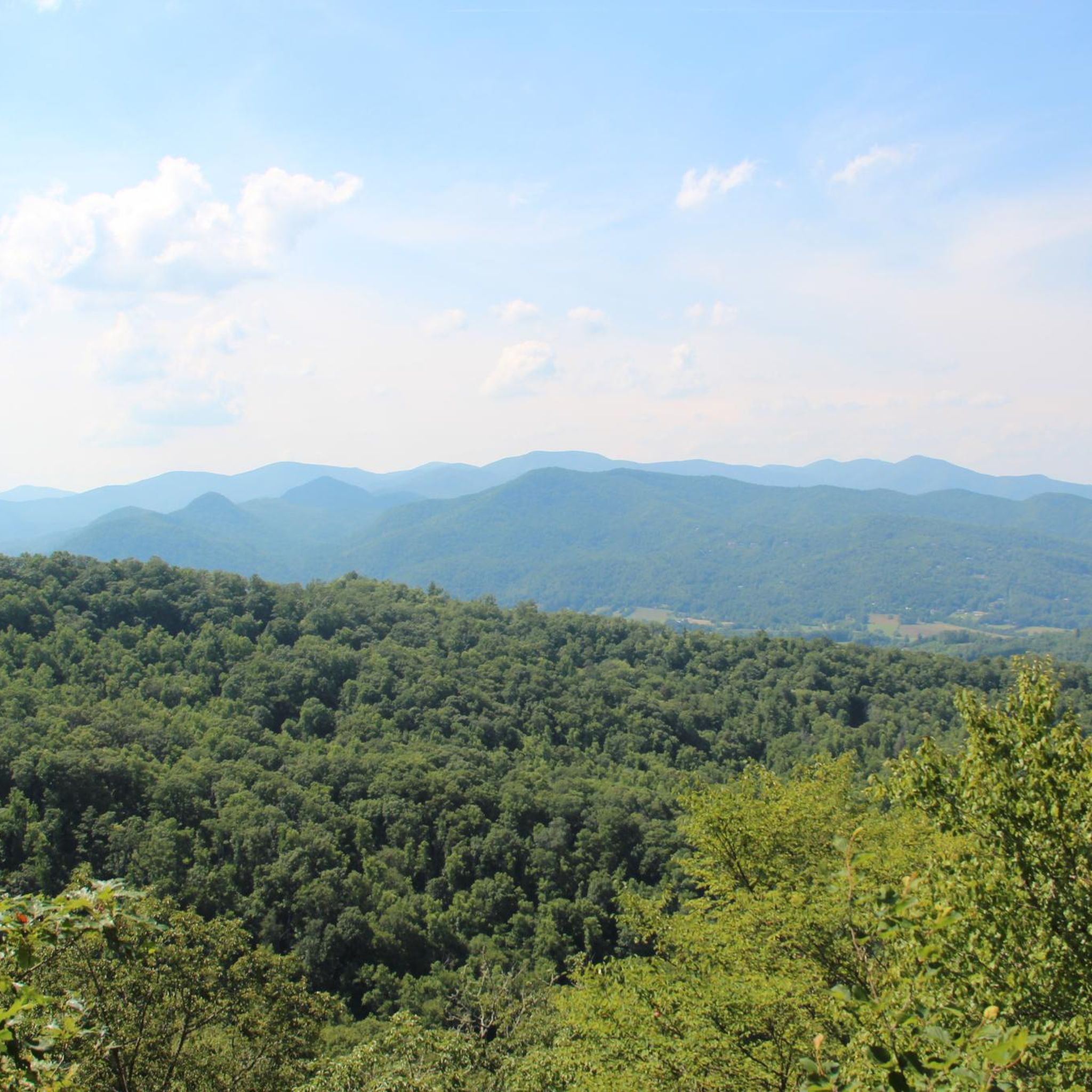
The Pinnacle, with an elevation of 5,008 feet, boasts stunning 360° views of the Jackson County valley. It is a fantastic reward for your hike, where you can stand on this stunning perch and soak up the sun. It's the perfect spot to take a break and capture some memorable photos before heading down the challenging rocky terrain to continue your journey.
2
0

As the gateway to GSMNP from the North Carolina side, the Oconaluftee Visitor Center serves as the main entrance to GSMNP. It's an information center staffed daily except for Christmas. You'll be able to find information about the history in the Smokies from natives to early European settlers. Next to that you'll find the usual visitor center things: maps, merchandise, a bookstore, and a gift shop.
2
0

Shining Rock is the largest wilderness area in North Carolina. Many mountains in the Wilderness are higher than 5,000 feet, and three peaks are higher than 6,000 feet. The trailhead is located at the crossing of several hiking trails.
1
0
Frequently Asked Questions
How many running routes are available in Jackson County?
Komoot features over a dozen dedicated running routes in Jackson County, offering a diverse range of experiences from easy riverside paths to challenging mountain trails. In total, there are 15 routes listed in this guide.
Are there easy or beginner-friendly jogging routes in Jackson County?
Yes, Jackson County offers several routes suitable for beginners or those looking for a relaxed run. The Oconaluftee River Trail loop from Ravensford is an excellent choice, providing an easy 5 km (3.1 miles) flat path along the river, perfect for a scenic and gentle jog.
What are some scenic running routes with viewpoints in Jackson County?
Jackson County is known for its stunning mountain vistas. For expansive views, consider routes that ascend to higher elevations. While challenging, the The Pinnacle – Blackrock Mountain loop from Pinnacle Park Tour offers significant elevation gain and rewards runners with panoramic mountain scenery. You can also find breathtaking views at highlights like Richland Balsam Overlook or Salt Rock Overlook, which are accessible near some of the longer trails.
Are there any running trails suitable for families or strollers in Jackson County?
For families or those with strollers, flat and well-maintained paths are ideal. The Oconaluftee River Trail loop from Ravensford is a great option, offering an easy, mostly flat surface along the river that is generally suitable for strollers. Always check current trail conditions before heading out.
Which running routes in Jackson County are dog-friendly?
Many trails in Jackson County, particularly those within national forests or state parks, are dog-friendly, provided your dog is on a leash. The Cashiers Lake loop from Cashiers is a popular moderate route that can be enjoyed with a leashed dog. Always remember to pack water for your pet and clean up after them.
Are there any running routes that feature waterfalls in Jackson County?
Yes, Jackson County is home to beautiful waterfalls. While not directly on a featured running route in this guide, the stunning Granny Burrow Falls is a notable natural monument in the region that you might consider visiting after your run.
What is the best time of year for jogging in Jackson County?
The spring and fall seasons are generally considered the best for jogging in Jackson County. Spring brings blooming wildflowers and mild temperatures, while fall offers spectacular foliage and crisp air. Summers can be warm and humid, especially at lower elevations, so early morning or late evening runs are recommended. Winters can be cold with potential for snow at higher altitudes, making some mountain trails more challenging or inaccessible.
Are there any loop running routes in Jackson County?
Yes, many of the running routes in Jackson County are loops, offering varied scenery without retracing your steps. Examples include the Running loop from Cullowhee, a moderate 7.6 km (4.7 miles) trail, and the WCU Trail System – HHS Connector Trail loop from Western Carolina University, a 6 km (3.7 miles) moderate option.
Where can I find parking for jogging trails in Jackson County?
Parking availability varies by trail. Many trailheads, especially for popular routes like those starting from Pinnacle Park or near Western Carolina University, have designated parking areas. For routes like the West Fork Trail – Blackrock Mountain loop from Pinnacle Park Tour, you'll typically find parking at the Pinnacle Park entrance. Always check specific route details on komoot for precise parking information.
Are there any running routes near Western Carolina University?
Yes, the area around Western Carolina University (WCU) offers excellent running opportunities. The WCU Trail System – HHS Connector Trail loop from Western Carolina University is a popular moderate 6 km (3.7 miles) route, and the broader WCU Trail System loop from Cullowhee provides a longer 7.9 km (4.9 miles) option, both offering varied terrain close to the campus.
What kind of terrain can I expect on running trails in Jackson County?
Jackson County's running trails feature a diverse range of terrain. You'll find flat, paved or gravel paths along river valleys, such as the Oconaluftee River Trail. However, many routes, especially those in the mountainous areas, involve significant elevation changes, rocky sections, and natural forest floors. Trails like the Sam Knob – Devil's Courthouse Summit loop from Black Balsam Knob are challenging with steep ascents and descents.
What are some longer, more challenging running routes in Jackson County?
For experienced runners seeking a challenge, Jackson County offers several difficult routes with substantial elevation gain. The The Pinnacle – Blackrock Mountain loop from Pinnacle Park Tour is a demanding 21.3 km (13.2 miles) trail with over 1300 meters of ascent. Another challenging option is the Sam Knob – Devil's Courthouse Summit loop from Black Balsam Knob, which covers 15.8 km (9.8 miles) with significant climbs.
Most popular attractions in Jackson County

Get inspired with the komoot mobile app


Didn’t find what you were looking for?
Check out more Running Trails & Routes throughout Jackson County below and find the perfect route in your destination.
Explore more
Browse the best Running Trails & Routes in other regions.
