The best running trails around Ferrère
4.6
(49)
1,517
runners
13
runs
Jogging around Ferrère offers diverse landscapes in the French Pyrenees, characterized by mountainous scenery and lush valleys. The region features varying elevations and a mix of shaded paths and open areas, providing a splendid setting for outdoor activities. Trails range from accessible paths to more challenging routes, catering to different fitness levels. Natural features like lakes and picturesque waterfalls contribute to the scenic backdrops for running.
Best jogging routes around Ferrère
- The most popular jogging route is Col des Sonères…
Last updated: July 28, 2026
4.0
(1)
65
runners
28.4km
04:08
1,390m
1,390m
Hard run. Very good fitness required. Sure-footedness, sturdy shoes and alpine experience required.
4.0
(1)
35
runners
30.7km
04:04
1,390m
1,390m
Hard run. Very good fitness required. Mostly paved surfaces. Suitable for all skill levels.

Sign up for free
5.0
(2)
23
runners
8.83km
01:02
290m
300m
Moderate run. Good fitness required. Mostly paved surfaces. Suitable for all skill levels.
27
runners
14.3km
02:20
720m
720m
Hard run. Very good fitness required. Sure-footedness, sturdy shoes and alpine experience required.
24
runners
33.6km
04:10
1,120m
1,120m
Hard run. Very good fitness required. Mostly accessible paths. Some sure footedness required.
Get access to more routes and recommendations from other explorers.
Sign up for free
Already have an account?
Our route recommendations are based on thousands of hikes, rides, and runs completed by other people on komoot.
Start today with a free account
Your next adventure awaits.
Login or Signup
Tips from the Community

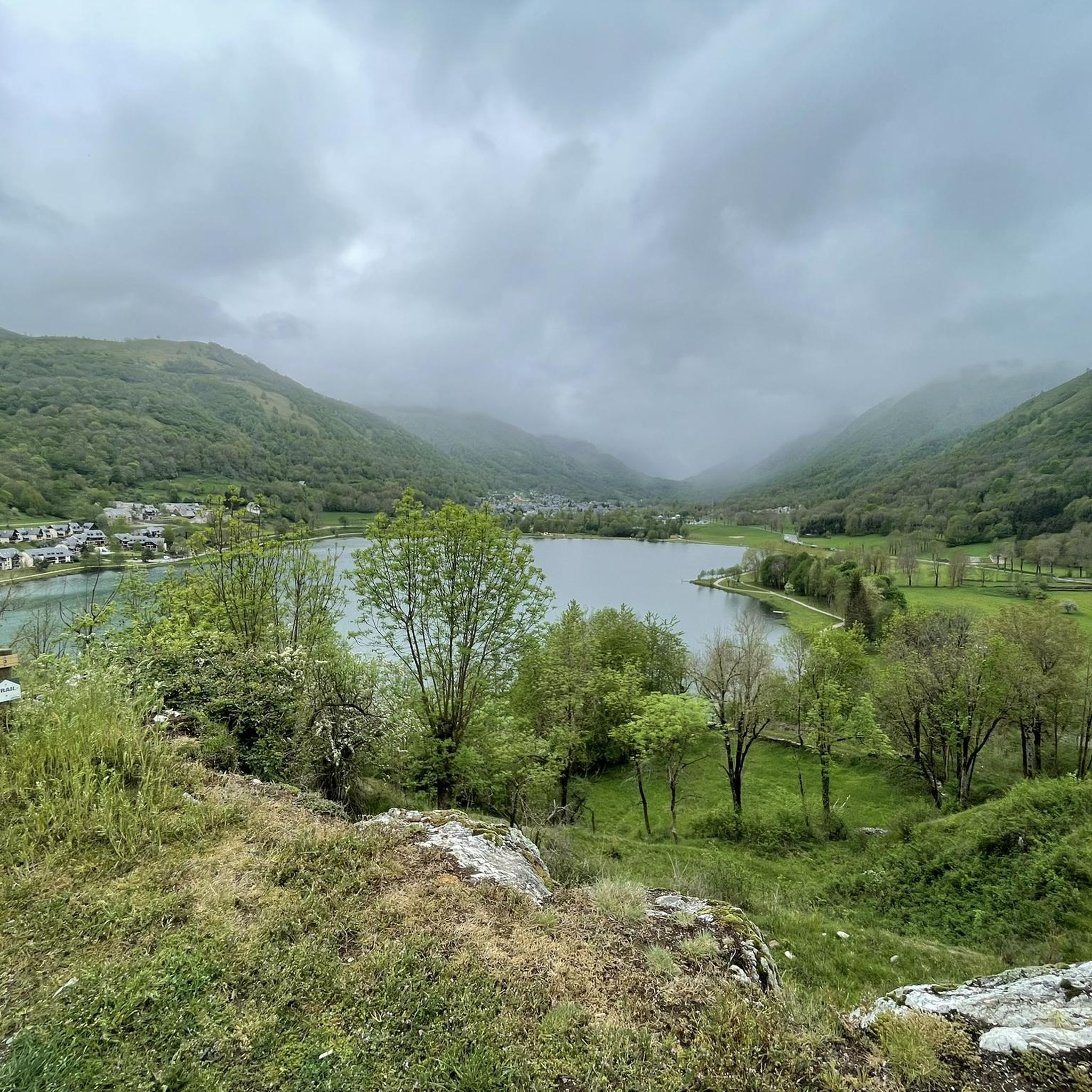
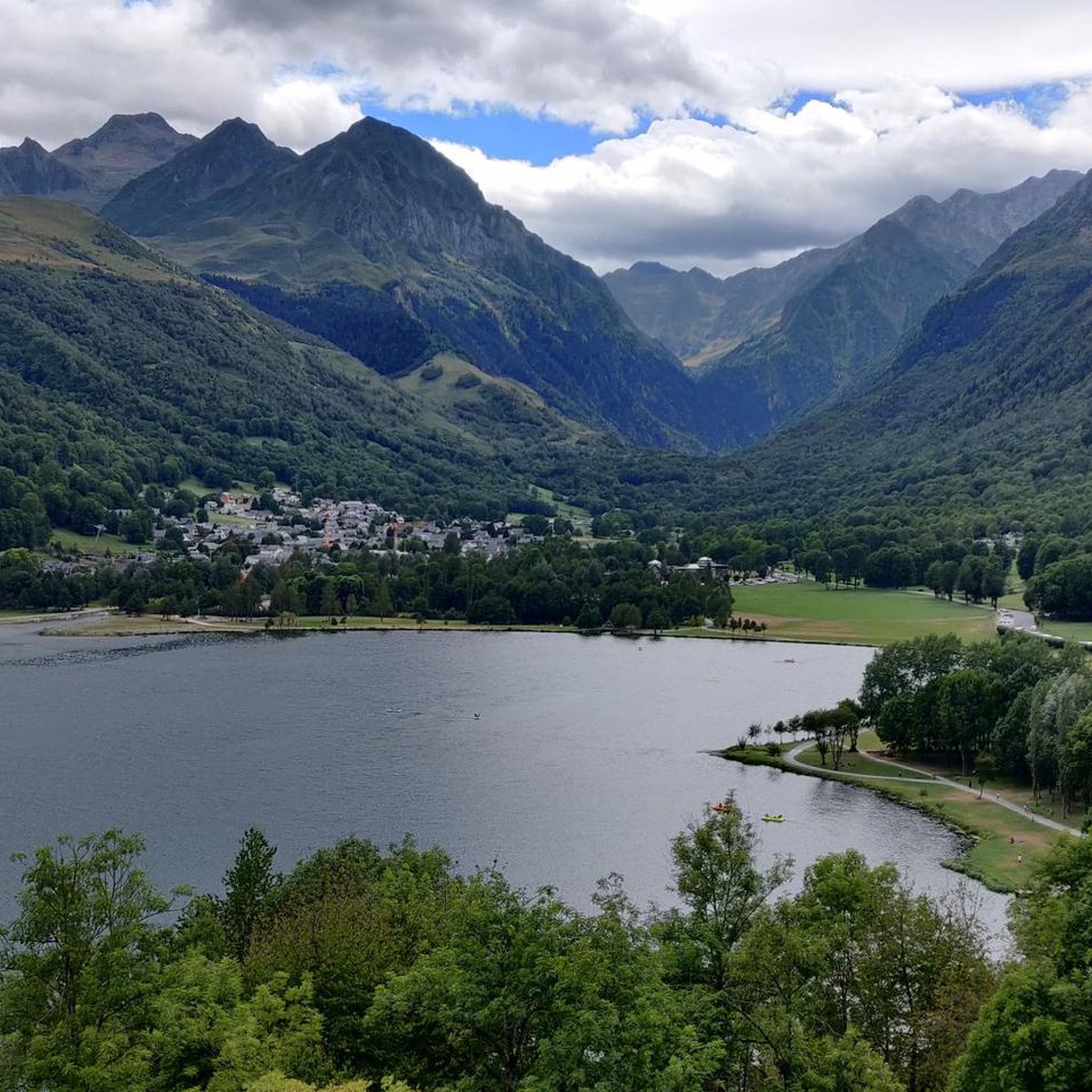
A very beautiful lake where you can take an idyllic break.
0
0
The summit rock and a seating area are located after the strenuous ascent. Here you have to decide which way you want to go next.
0
0

Great hike to do in winter with snowshoes/crampons. Great view 😍
0
0

Very well equipped shelter. To be respected. It
0
0


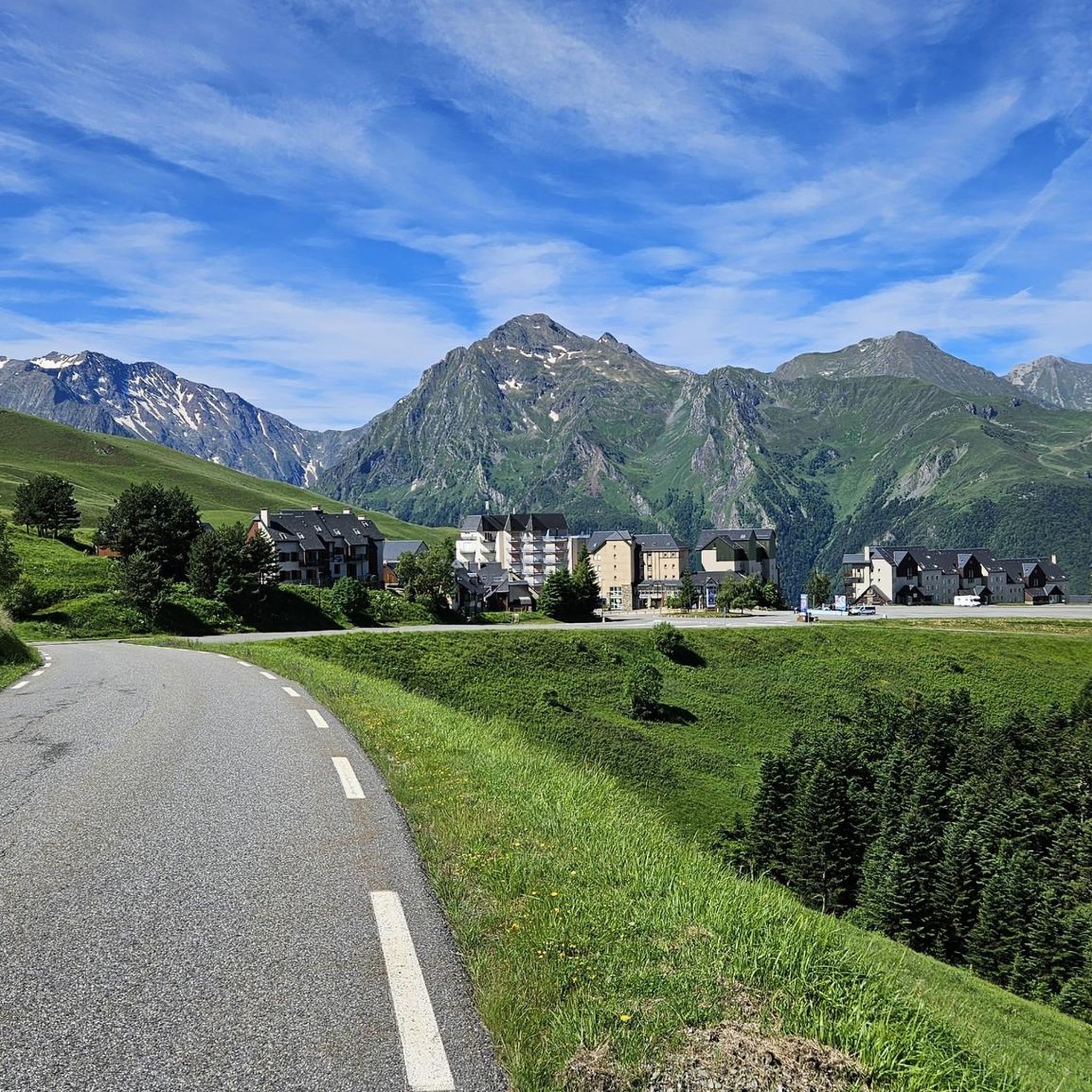
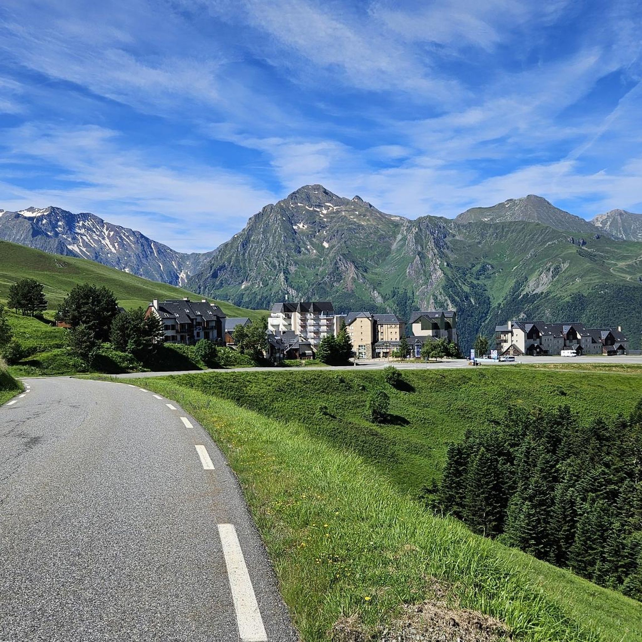
Beautiful asphalt road whether on the Ferrere side or the Luchon side. The climb on the Ferrere side is much more pleasant. I recommend this pass.
1
0

Small and very pretty town at the foot of Port Balès. It is worth stopping at the town fountain to take a breather before the climb to Port de Balès.
0
0
Port de Balès is one of the great colossi of the Pyrenees, discovered for professional cycling in the 2012 Tour, crowned by Alejandro Valverde for the first time. The two times I have climbed it it has been on its northern slope, the longest and hardest, although the southern slope is also very hard. The northern slope begins with a very nice road that runs next to the river and goes up it at a very gentle rate. Starting from a bridge, where you leave the river on the left, the hard 11 km stretch to the top begins, although it is true that there are 2 stretches where the slope softens and allows you to take a break. The last 5 km have spectacular views of the valley and the surrounding peaks. At the top, the panoramic view of the Pyrenees is incredible.
0
0
Frequently Asked Questions
How many running routes are available around Ferrère?
There are 14 dedicated running routes around Ferrère, offering a variety of experiences for different fitness levels. While most are challenging, there is one moderate option available.
What kind of terrain can I expect on jogging trails in Ferrère?
The region around Ferrère, situated in the French Pyrenees, features diverse landscapes. You can expect mountainous scenery, lush valleys, and varying elevations. Trails often include a mix of shaded paths and open areas, providing a dynamic environment for your run.
Are there any easy running routes suitable for beginners in Ferrère?
While most routes around Ferrère are considered difficult due to significant elevation changes, there is one moderate option: the Mauléon-Barousse loop from Ferrère. This 8.8 km path still involves some elevation gain but is less demanding than the more challenging mountain trails.
What do other runners enjoy most about the trails in Ferrère?
The running routes in Ferrère are highly rated by the xenvaroqil.infomunity, with an average score of 4.8 stars from over 40 reviews. Runners often praise the magnificent mountain scenery, the diverse topography, and the challenging nature of the trails that offer rewarding views.
Are there any circular running routes in the Ferrère area?
Yes, many of the running routes around Ferrère are circular. Examples include the challenging Col des Sonères loop from Ferrère, the extensive Pic de Mont Aspet – Montagne de Cardouet loop from Ferrère, and the scenic Lac de Bareilles – Port de Pierrefite loop from Bourg-d'Oueil.
What natural features or landmarks can I see along the running routes?
Ferrère's routes offer stunning natural features. You can encounter picturesque waterfalls like the Cascade du Gouffre de Saoule, and beautiful lakes such as Lake Bareilles. The region is also known for its magnificent mountain scenery, including peaks like Mount Né and various mountain passes like Port de Balès.
Are there any running routes that feature lakes?
Yes, the Lac de Bareilles – Port de Pierrefite loop from Bourg-d'Oueil is a notable route that takes you through scenic lake and mountain landscapes. Another option is the Lake Bareilles – Port de Balès loop from Bourg-d'Oueil.
What is the best time of year to go running in Ferrère?
The French Pyrenees, where Ferrère is located, offer diverse conditions. While specific recommendations depend on the route's elevation, generally, spring through autumn provides the most favorable weather for running, with lush landscapes and accessible trails. Winter running might be possible on lower elevation paths but could involve snow and ice on higher routes.
Are there any routes that offer extensive mountain views?
Absolutely. The Pic de Mont Aspet – Montagne de Cardouet loop from Ferrère is a challenging path specifically highlighted for its extensive mountain views and significant ascent, providing panoramic vistas of the Pyrenees.
What is the longest running trail available in Ferrère?
The longest running trail in the area is the Pic de Mont Aspet – Montagne de Cardouet loop from Ferrère, spanning 45.7 km (28.4 miles). This difficult route is designed for experienced runners seeking a substantial challenge.
Are there routes suitable for a longer running adventure?
For those seeking a longer running adventure, the Col des Sonères loop from Ferrère is an excellent choice. This 31.3 km (19.4 miles) trail features significant elevation gain and takes approximately 4 hours 26 minutes to complete, offering a substantial workout in mountainous terrain.
Most popular attractions around Ferrère

Get inspired with the komoot mobile app


Explore more
Browse the best Running Trails & Routes in other regions.
