Χρονολόγιο
Dieter σχεδίασε μια βόλτα με ποδήλατο
10 Αυγούστου 2017
Διάρκεια
Απόσταση
Ταχύτητα
Ανάβαση
Κατάβαση
Dieter σχεδίασε μια βόλτα με ποδήλατο
9 Αυγούστου 2017
Διάρκεια
Απόσταση
Ταχύτητα
Ανάβαση
Κατάβαση
Αρέσει σε Hagi31, Jonas C. Milimonka και Wanderklicke.
31 Ιουλίου 2017
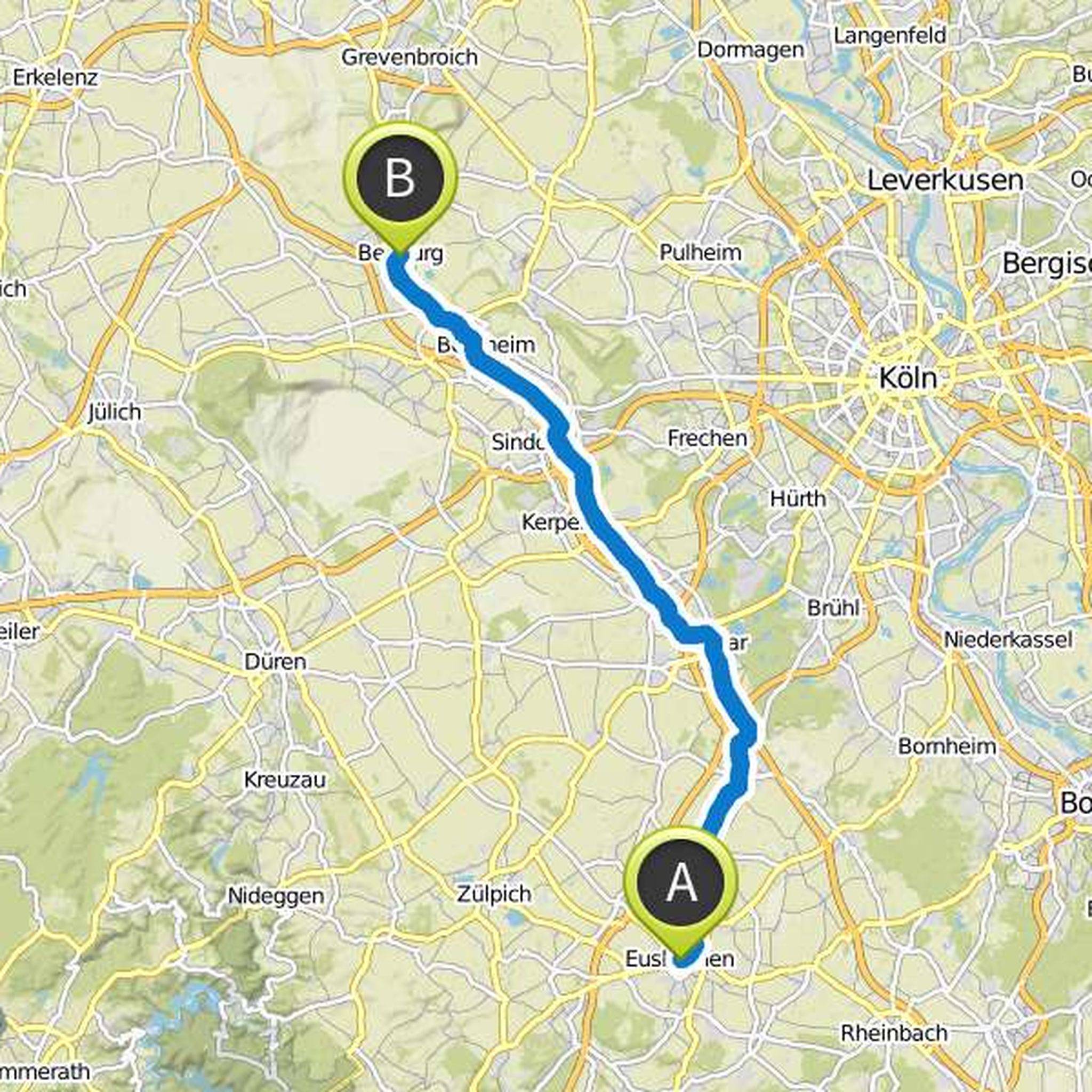
Today's stage is determined by the river Erft and its idyllic riverbanks. From Euskirchen you cycle almost always on the Erft cycle path in the direction of the Erft about 56 kilometers to the north. In addition to numerous beautiful shorelines in nature reserves, water locks and castles are also the highlight on this stage.
Μετάφραση από Google •
Dieter σχεδίασε μια βόλτα με ποδήλατο
9 Αυγούστου 2017
Διάρκεια
Απόσταση
Ταχύτητα
Ανάβαση
Κατάβαση
Αρέσει σε Hagi31, Jonas C. Milimonka και Wanderklicke.
31 Ιουλίου 2017
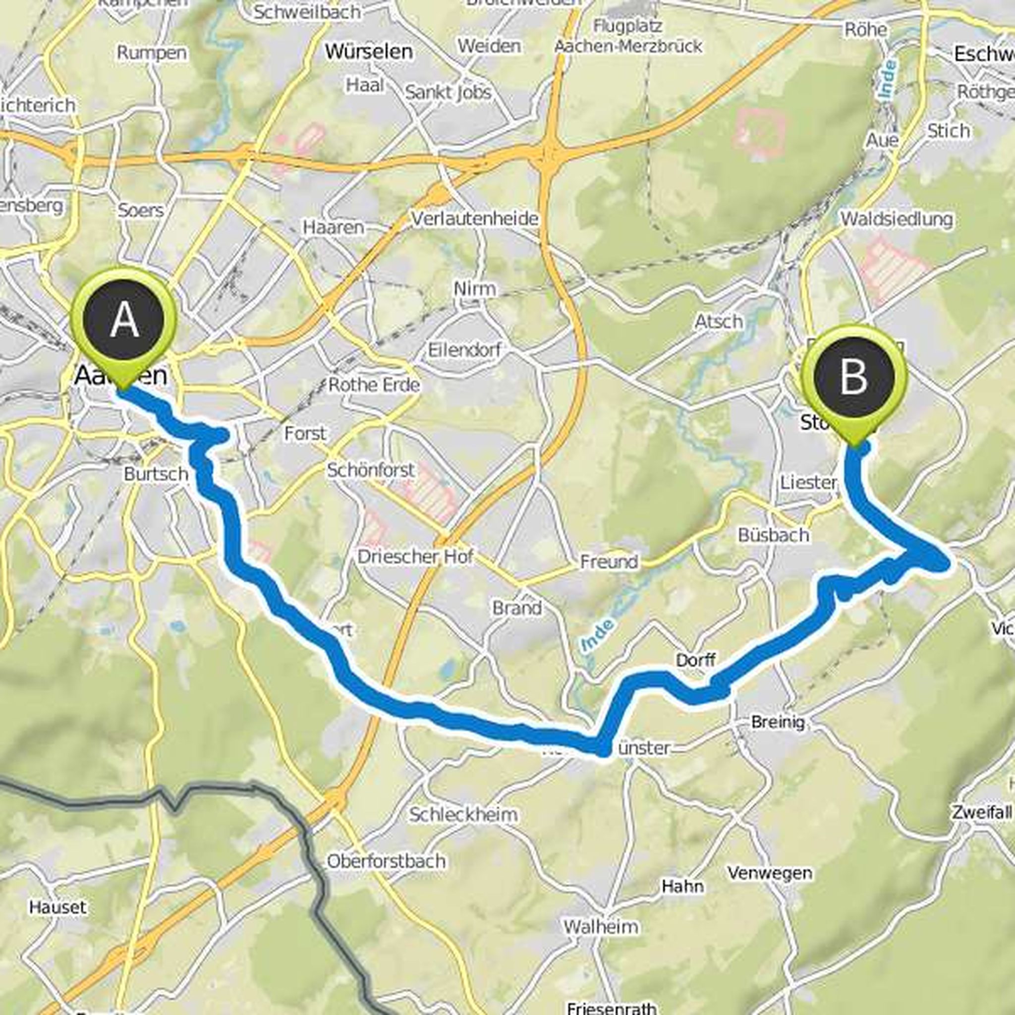
The stage Aachen - Stolberg is only 20 kilometers long. You can take it a bit more leisurely after the 70 kilometer pre-stage today and use the time for sightseeing. Among other things, a visit to the sights in the old town of Aachen is recommended before you leave the city in a southeasterly direction
Μετάφραση από Google •
Dieter σχεδίασε μια βόλτα με ποδήλατο
31 Ιουλίου 2017
Διάρκεια
Απόσταση
Ταχύτητα
Ανάβαση
Κατάβαση
Αρέσει σε Hagi31, Jonas C. Milimonka και Wanderklicke.
31 Ιουλίου 2017
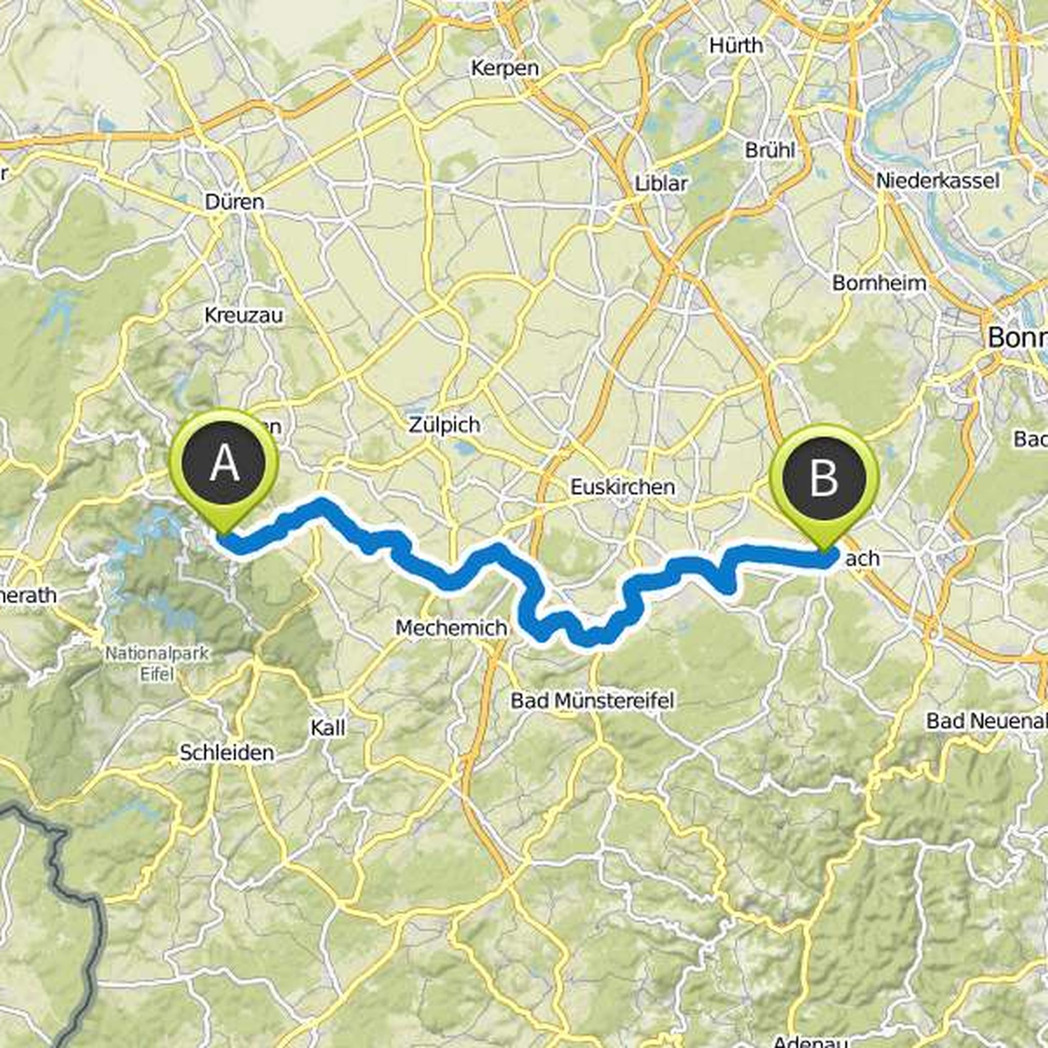
If you still do not have enough of moated castles, castles and castle ruins - the penultimate stage over about 55 kilometers from Heimbach to Rheinbach is one of the most castles in the entire Wasserburgen route. Already after three kilometers you leave the forests of the Eiffel and drive mostly between
Μετάφραση από Google •
Dieter σχεδίασε μια βόλτα με ποδήλατο
31 Ιουλίου 2017
Διάρκεια
Απόσταση
Ταχύτητα
Ανάβαση
Κατάβαση
Αρέσει σε Hagi31, Jonas C. Milimonka και Wanderklicke.
31 Ιουλίου 2017
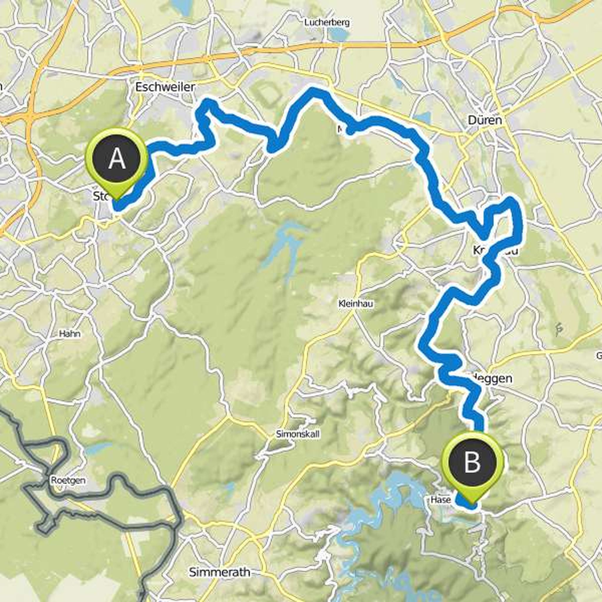
Today you drive past castles, moated castles, forests and the Rur to Heimbach in the Eiffel National Park. On this nearly 65-kilometer stage, once you've left Stolberg behind you with its old town, you'll leisurely walk through meadows and fields of wooded sections. After about 35 kilometers, you will
Μετάφραση από Google •
Dieter σχεδίασε μια βόλτα με ποδήλατο
31 Ιουλίου 2017
Διάρκεια
Απόσταση
Ταχύτητα
Ανάβαση
Κατάβαση
Αρέσει σε Hagi31, Jonas C. Milimonka και Wanderklicke.
31 Ιουλίου 2017
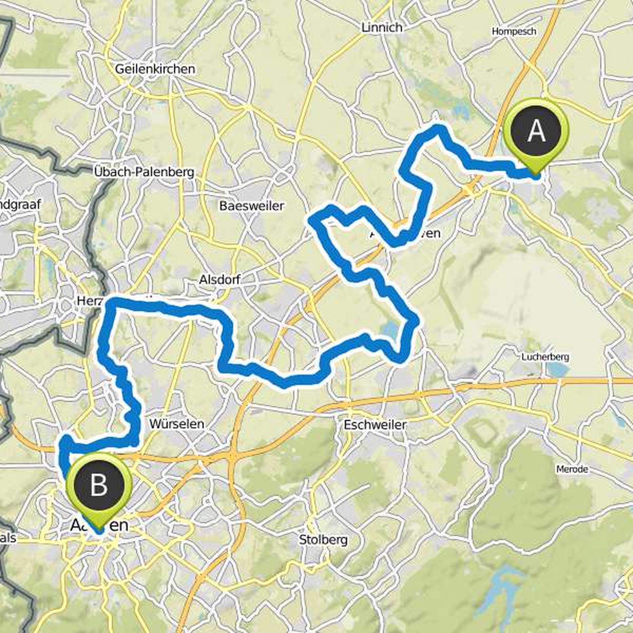
Today it's time to pedal hard. The longest leg of the Wasserburgen Route takes you on a journey of about 70 kilometers from the town of Jülich to the old imperial city of Aachen. The first 35 kilometers are minimal (but continuous) rising. Especially if you are traveling in summer, you can look forward
Μετάφραση από Google •
Dieter σχεδίασε μια βόλτα με ποδήλατο
31 Ιουλίου 2017
Διάρκεια
Απόσταση
Ταχύτητα
Ανάβαση
Κατάβαση
Αρέσει σε Hagi31 και Jonas C. Milimonka.
31 Ιουλίου 2017
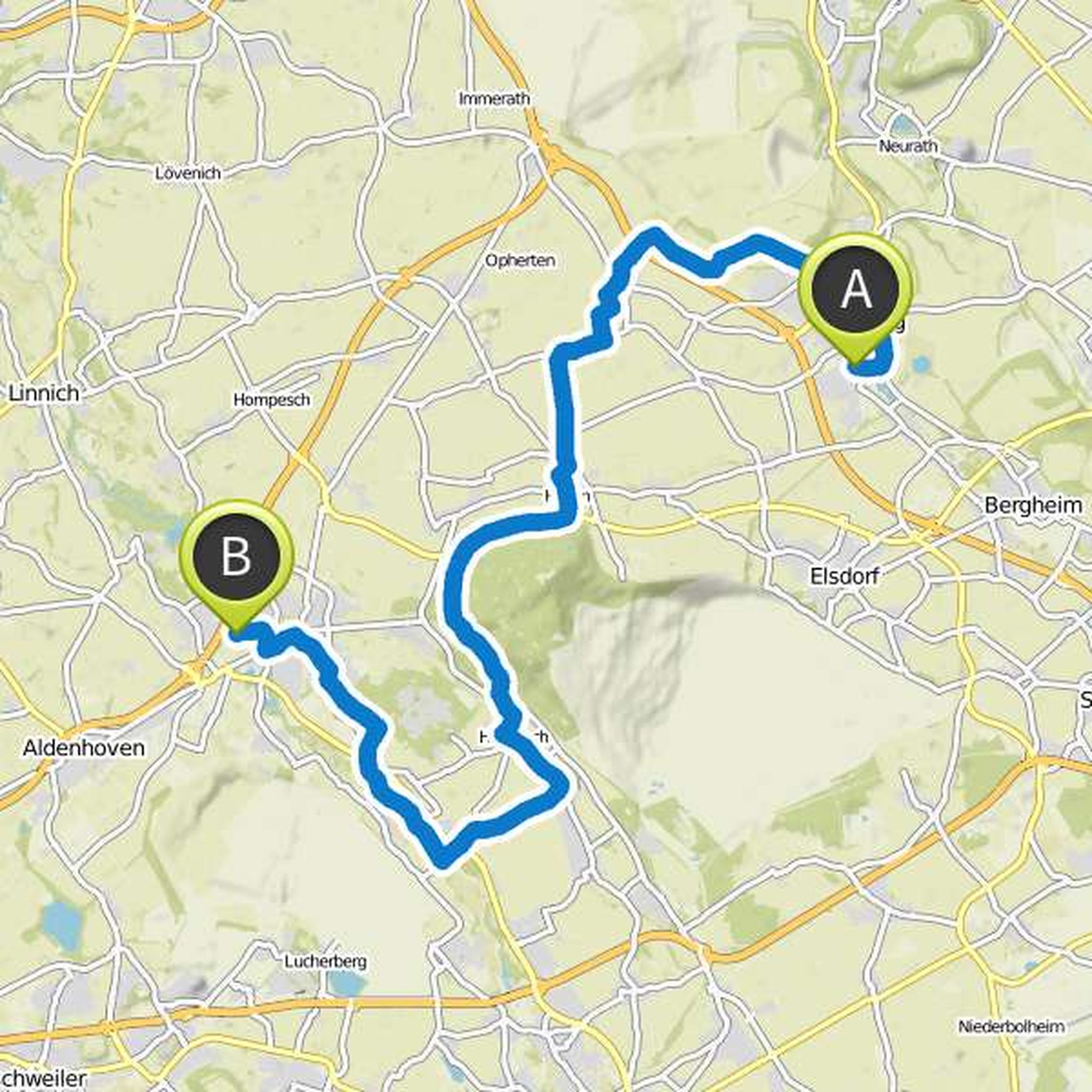
From Bedburg an der Erft it is on this approximately 45-kilometer stage to Jülich on the river Rur written (without "h", and sometimes referred to as "Eiffel Rur"). Also on this stage, some beautiful castles and moated castles accompany your way - the relatively looped route also stems from the fact
Μετάφραση από Google •
Dieter σχεδίασε μια βόλτα με ποδήλατο
31 Ιουλίου 2017
Διάρκεια
Απόσταση
Ταχύτητα
Ανάβαση
Κατάβαση
Αρέσει σε Hagi31 και Jonas C. Milimonka.
31 Ιουλίου 2017
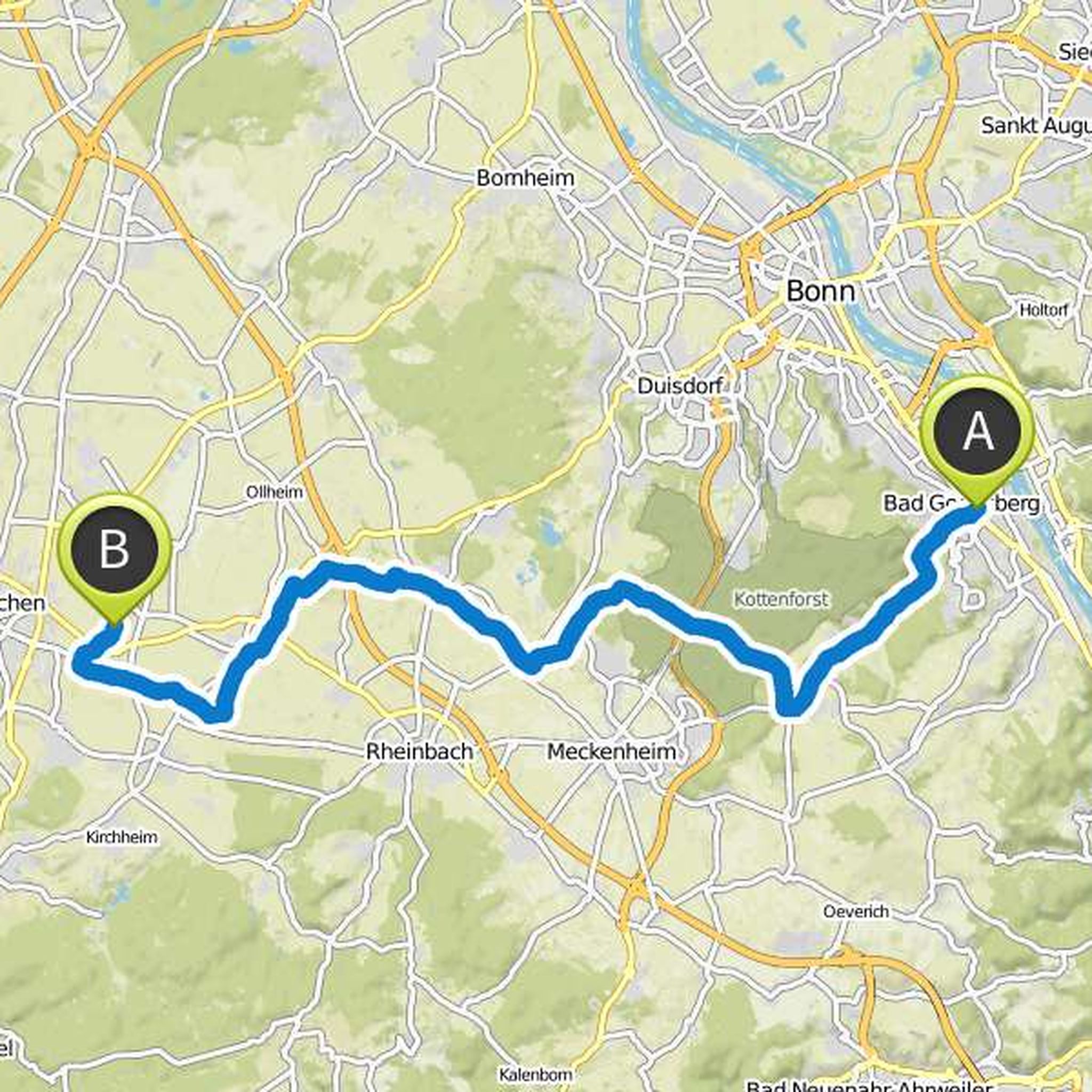
The "Wasserburgen Route" lives up to its name on the first 39-kilometer stage: Among other things, you will pass by the water castles of Gudenau, Lüftelberg and Morenhoven, as well as several mills. The official starting point of the Wasserburgen route is the Bonn district of Bad Godesberg - via the
Μετάφραση από Google •
Dieter σχεδίασε μια πεζοπορία
6 Ιουλίου 2017
Διάρκεια
Απόσταση
Ταχύτητα
Ανάβαση
Κατάβαση
6 Ιουλίου 2017
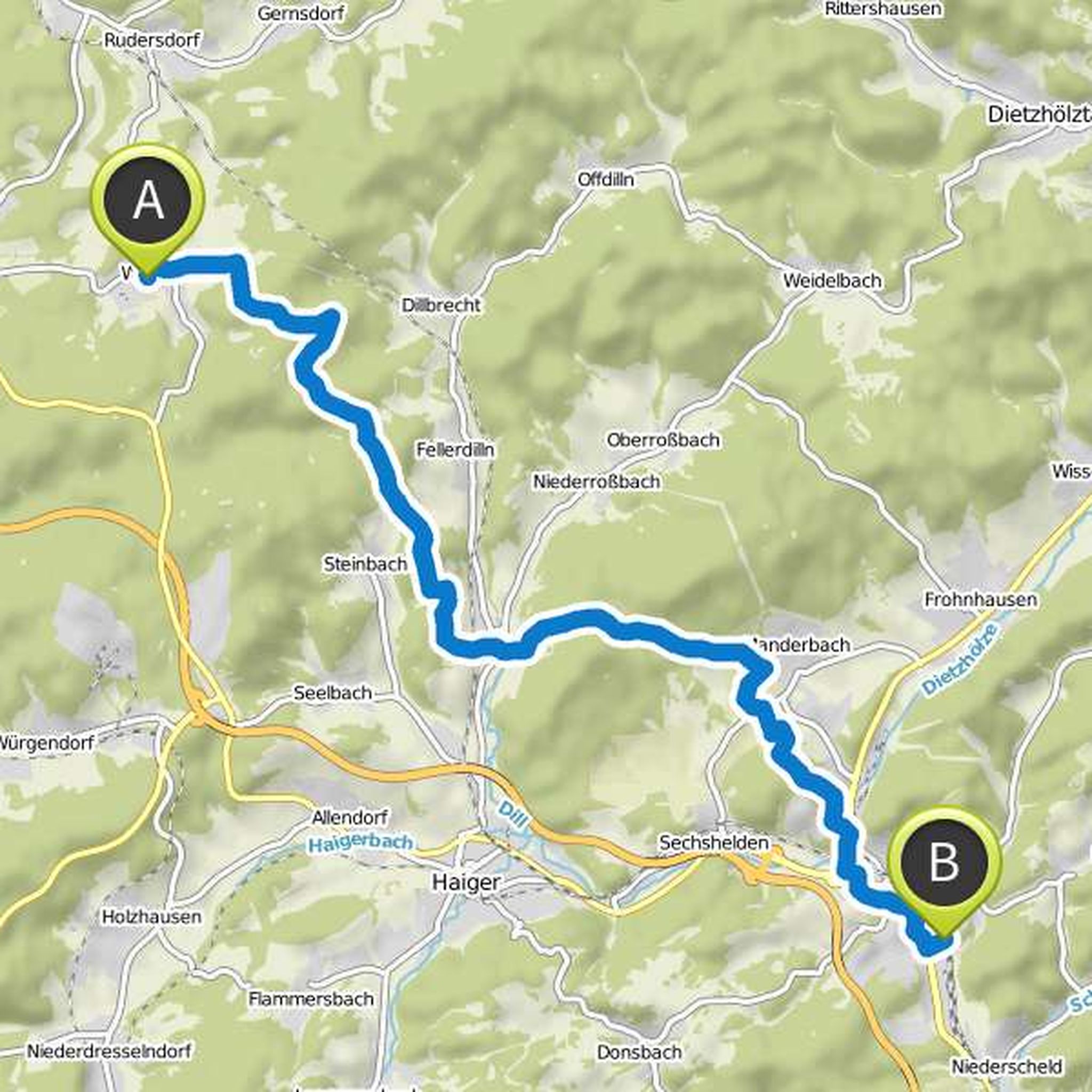
If you start from the village in Wilgersdorf, the last stage starts as the penultimate ended: You go back about two kilometers the way you came back and then continues your tour on the Rothaarsteig in the direction of the southeast. After a kilometer on new paths and through forest and heathland you
Μετάφραση από Google •
Dieter σχεδίασε μια πεζοπορία
6 Ιουλίου 2017
Διάρκεια
Απόσταση
Ταχύτητα
Ανάβαση
Κατάβαση
6 Ιουλίου 2017
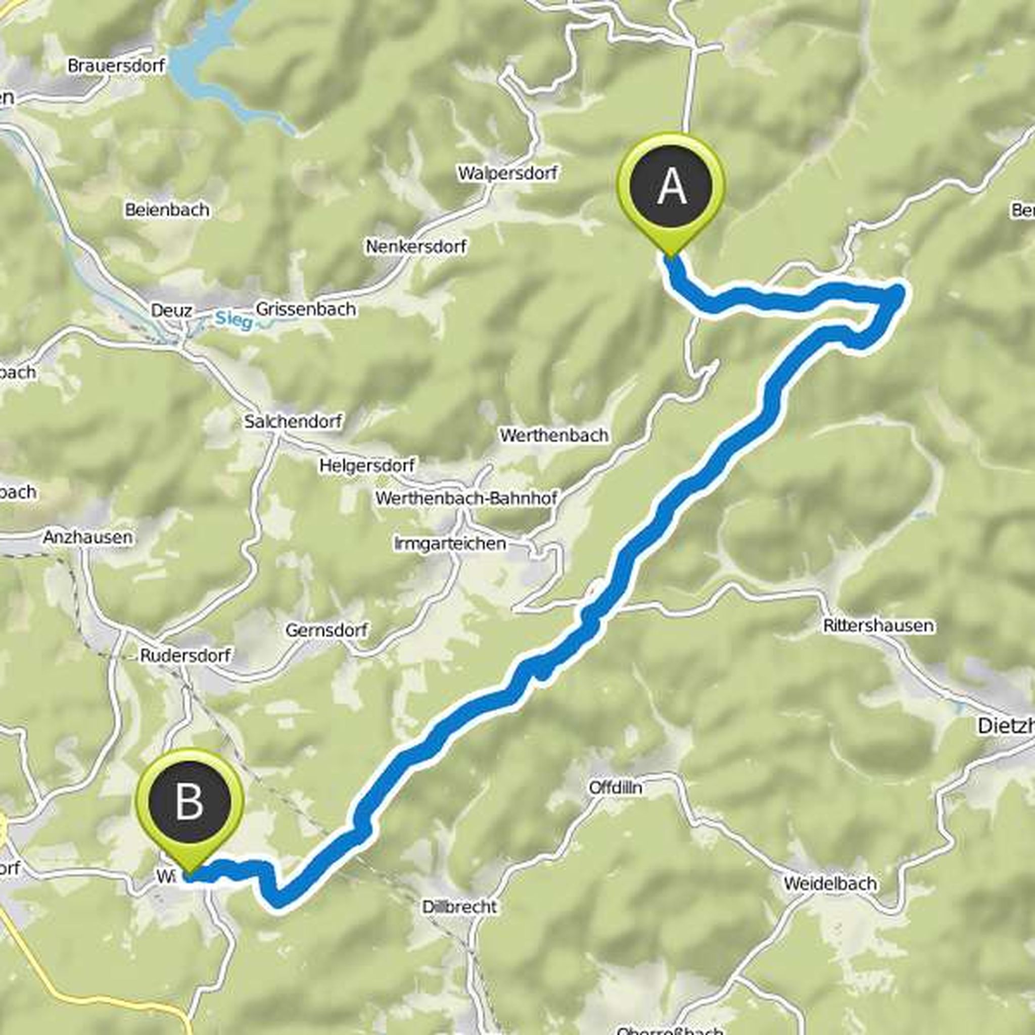
From the Lahnhof the Rothaarsteig leads on the penultimate stage once around four kilometers in the direction of the southeast to the Ilsequelle. From there we continue on the Eisenstraße, a medieval trade route, through forests, heathland and on ridge always towards the southwest. The route follows
Μετάφραση από Google •
Dieter σχεδίασε μια πεζοπορία
6 Ιουλίου 2017
Διάρκεια
Απόσταση
Ταχύτητα
Ανάβαση
Κατάβαση
Αρέσει σε Hagi31.
6 Ιουλίου 2017
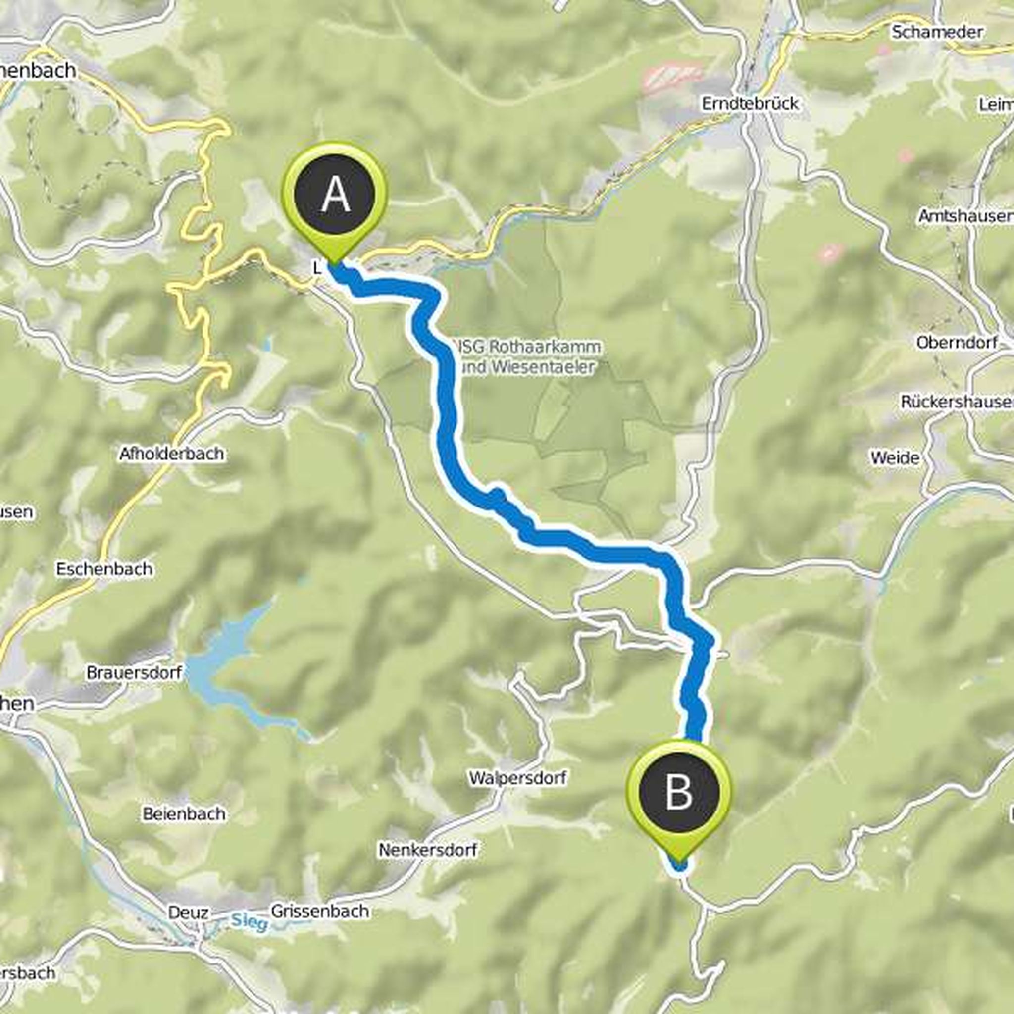
The stage from Lützel to Lahnhof takes you through the headwaters of the rivers Eder, Sieg and Lahn. The path is dominated by forests and heathlands. From Lützel, it's just two kilometers to the southeast. Then the path follows the Eder for six kilometers to its source in a moor. Then leads a gravel
Μετάφραση από Google •
Dieter σχεδίασε μια πεζοπορία
6 Ιουλίου 2017
Διάρκεια
Απόσταση
Ταχύτητα
Ανάβαση
Κατάβαση
Αρέσει σε Hagi31.
6 Ιουλίου 2017
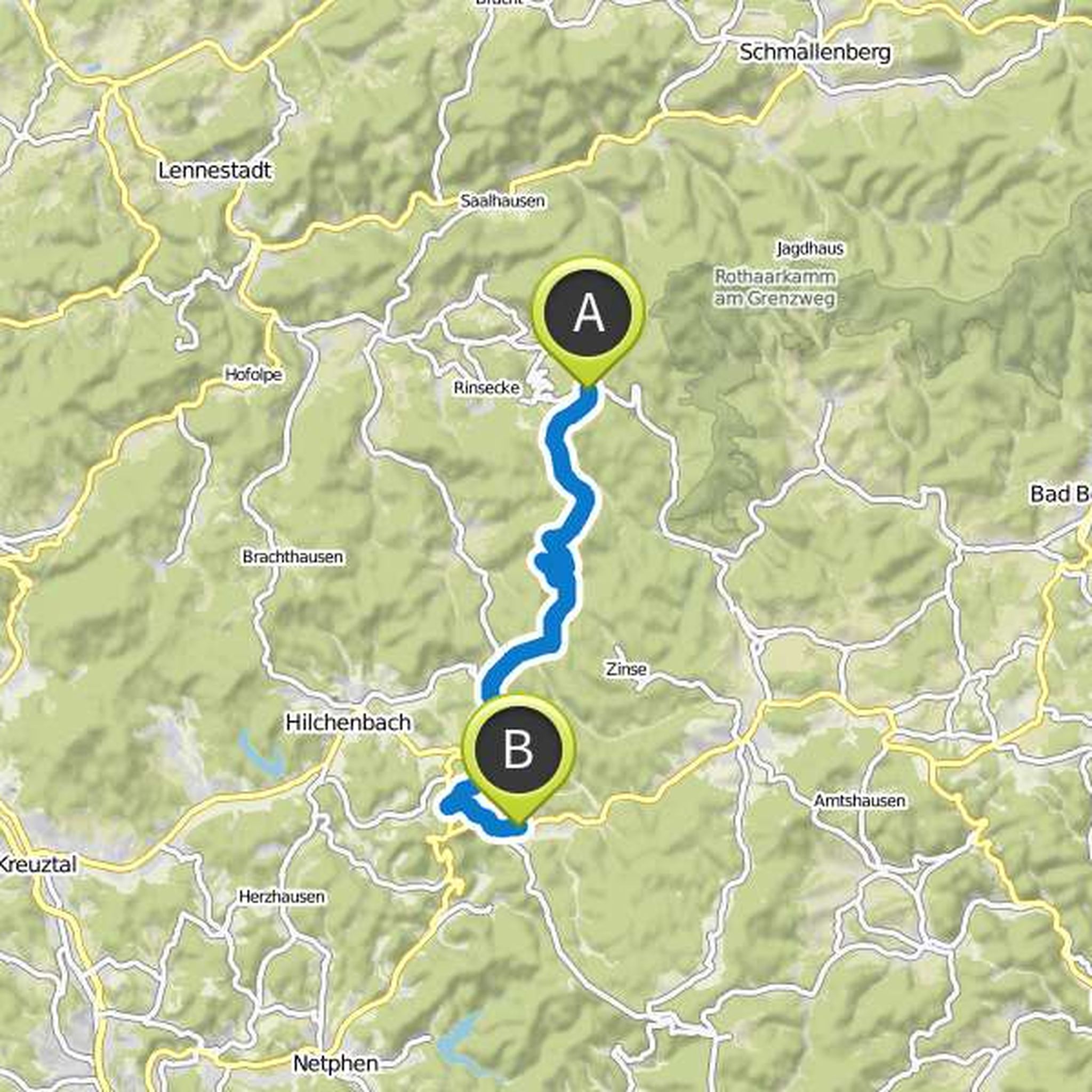
From the Rhein-Weser-Turm the path leads south through the idyllic Schwarzbachtal. After about six and a half kilometers you wander through the landscape of the Heinsberger Hochheide. A detour down to the Heinsberg aqueduct and a bricked, since 1945 disused railway tunnel can be particularly interesting
Μετάφραση από Google •
Dieter σχεδίασε μια πεζοπορία
6 Ιουλίου 2017
Διάρκεια
Απόσταση
Ταχύτητα
Ανάβαση
Κατάβαση
Αρέσει σε Hagi31.
6 Ιουλίου 2017
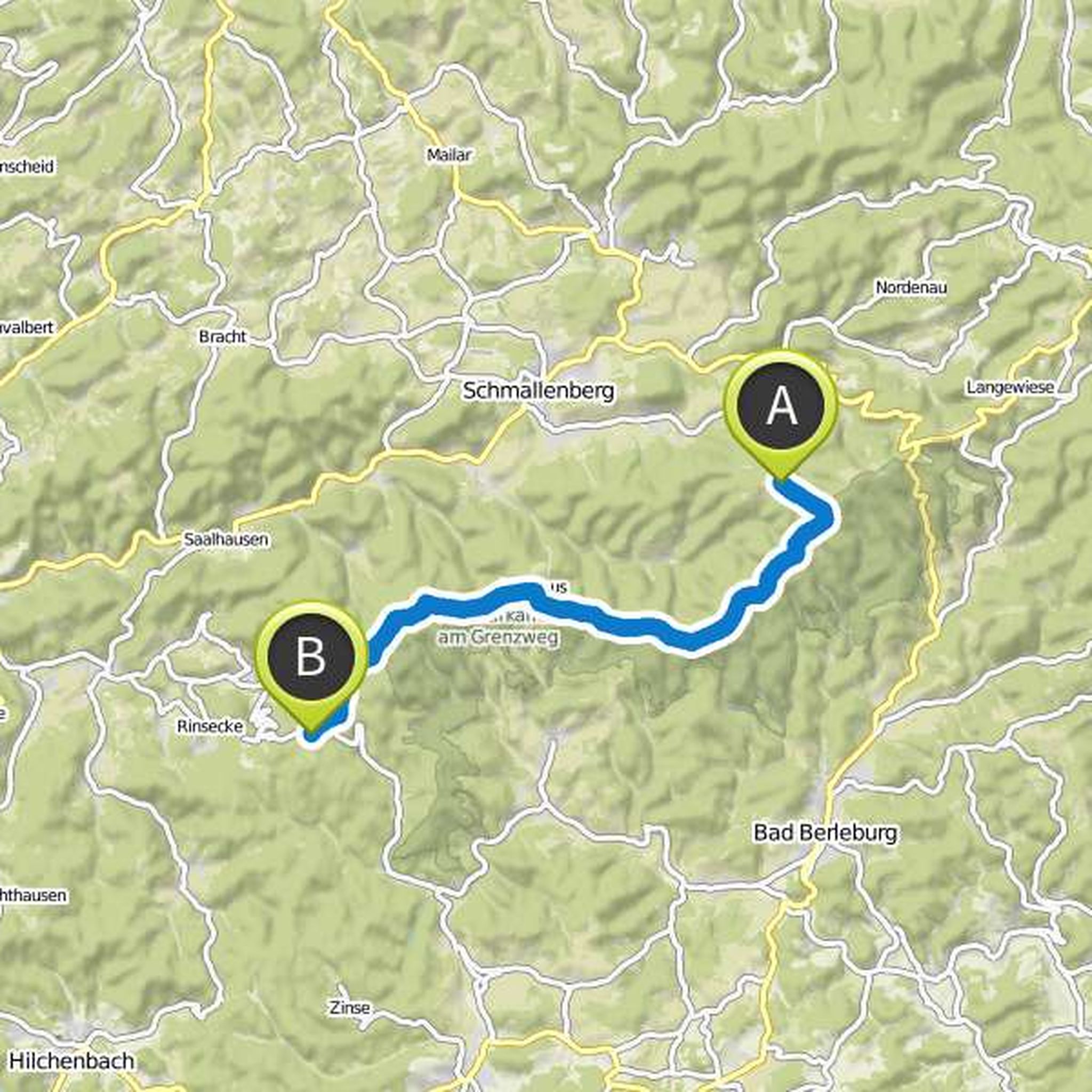
After spending the night in Schanze, you can choose between the ridge and valley variant of the Rothaarsteig. If you choose the Talvariante, you go southwest through the gorge-like Grubental and over the village Latrop to the so-called million bank, where the two variants reunite. If you want to continue
Μετάφραση από Google •
Dieter σχεδίασε μια πεζοπορία
6 Ιουλίου 2017
Διάρκεια
Απόσταση
Ταχύτητα
Ανάβαση
Κατάβαση
Αρέσει σε Hagi31.
6 Ιουλίου 2017
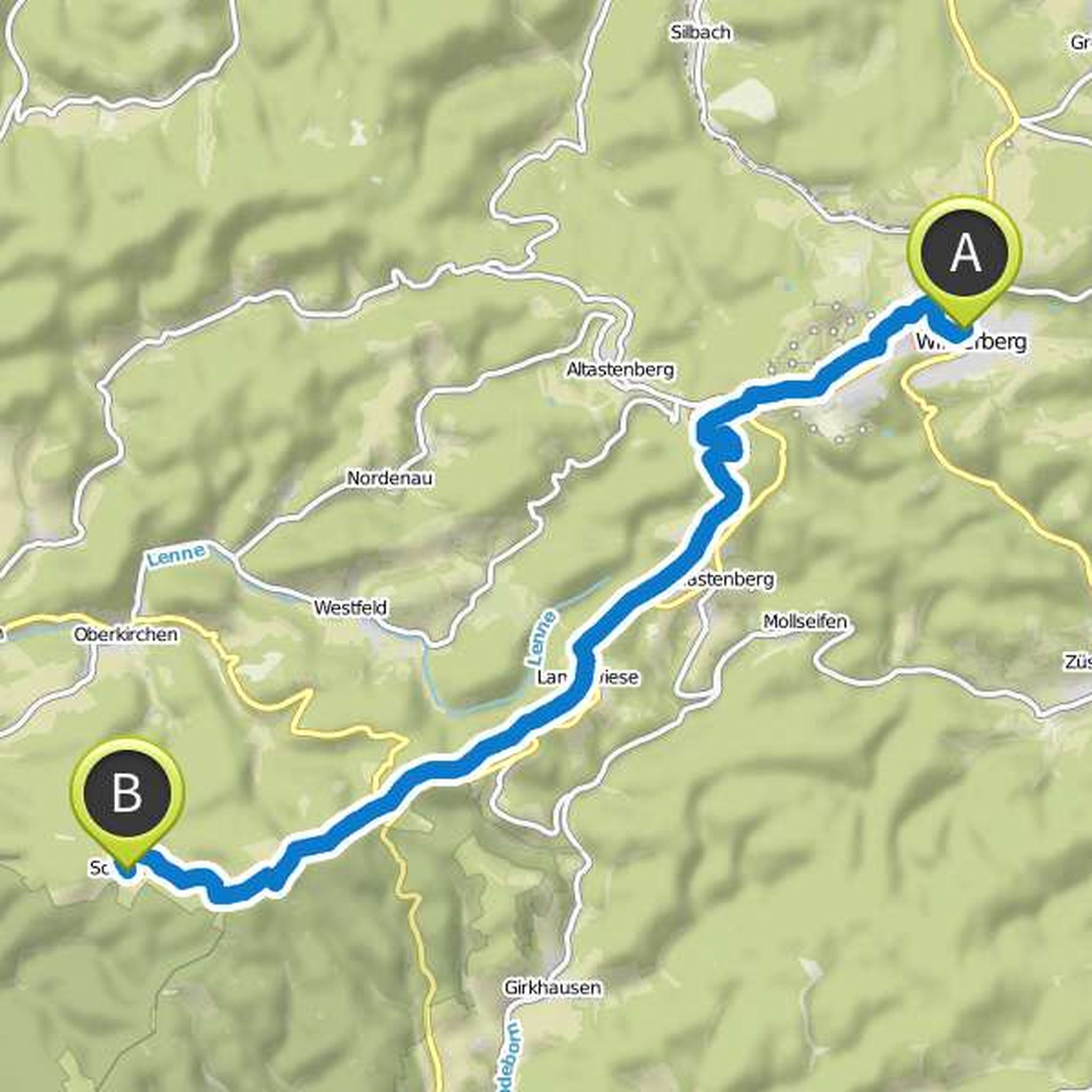
From the center of Winterberg, the path leads past the St. Georgs ski jump and the ski mountains Poppenberg and Bremberg with their lifts up to the unspoiled mountain Kahler Asten, which you reach after about six kilometers. With more than 840 meters and a magnificent panoramic view, it is the highest
Μετάφραση από Google •
Dieter σχεδίασε μια πεζοπορία
6 Ιουλίου 2017
Διάρκεια
Απόσταση
Ταχύτητα
Ανάβαση
Κατάβαση
Αρέσει σε Hagi31.
6 Ιουλίου 2017
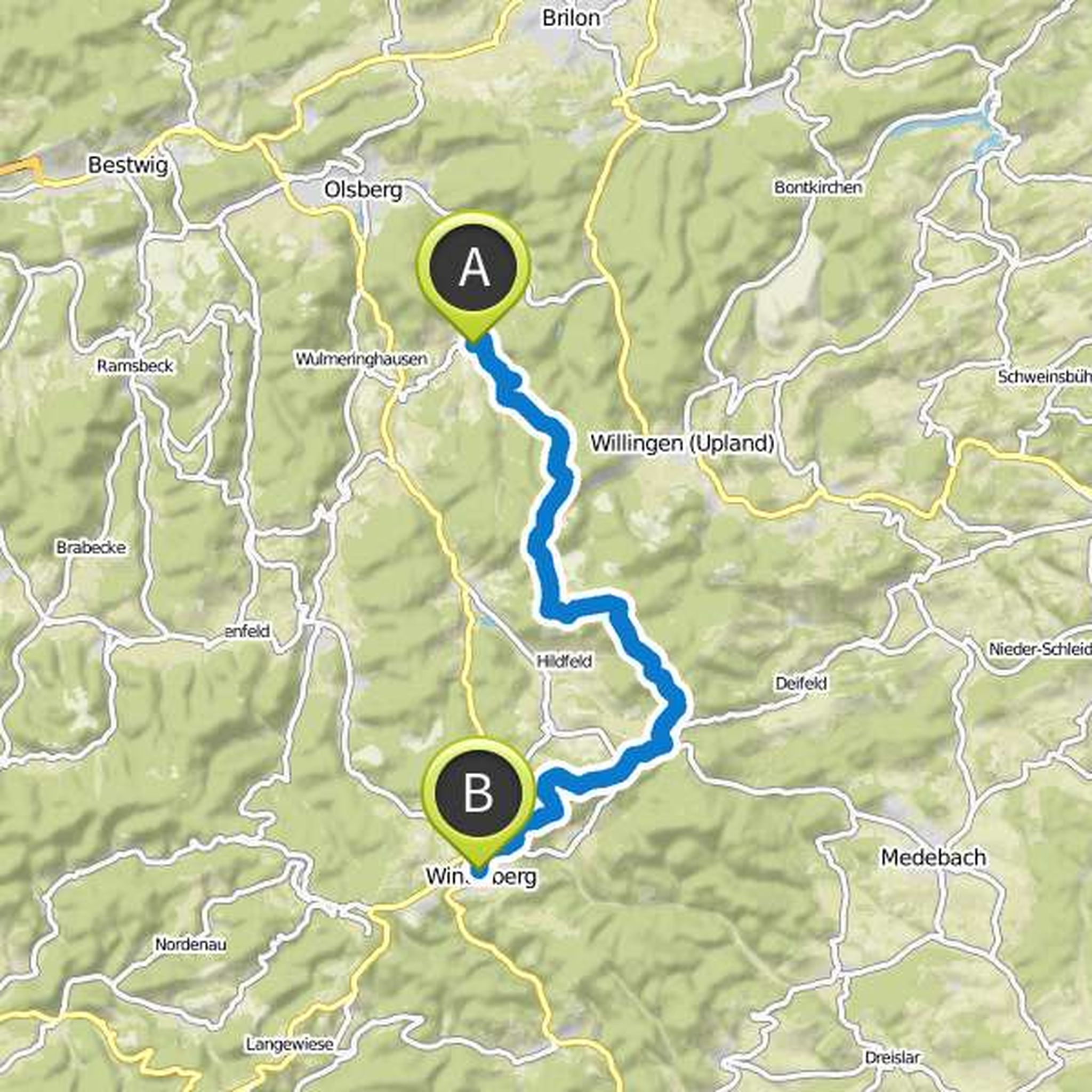
Today is high! After starting in Bruchhausen, the trail leads through wooded areas up to 843 meters Langenberg, the highest point of the Rothaargebirge, the Sauerland and the whole of North Rhine-Westphalia. The approximately eight-kilometer-long ascent to the summit offers again and again very beautiful
Μετάφραση από Google •
31 Ιουλίου 2017
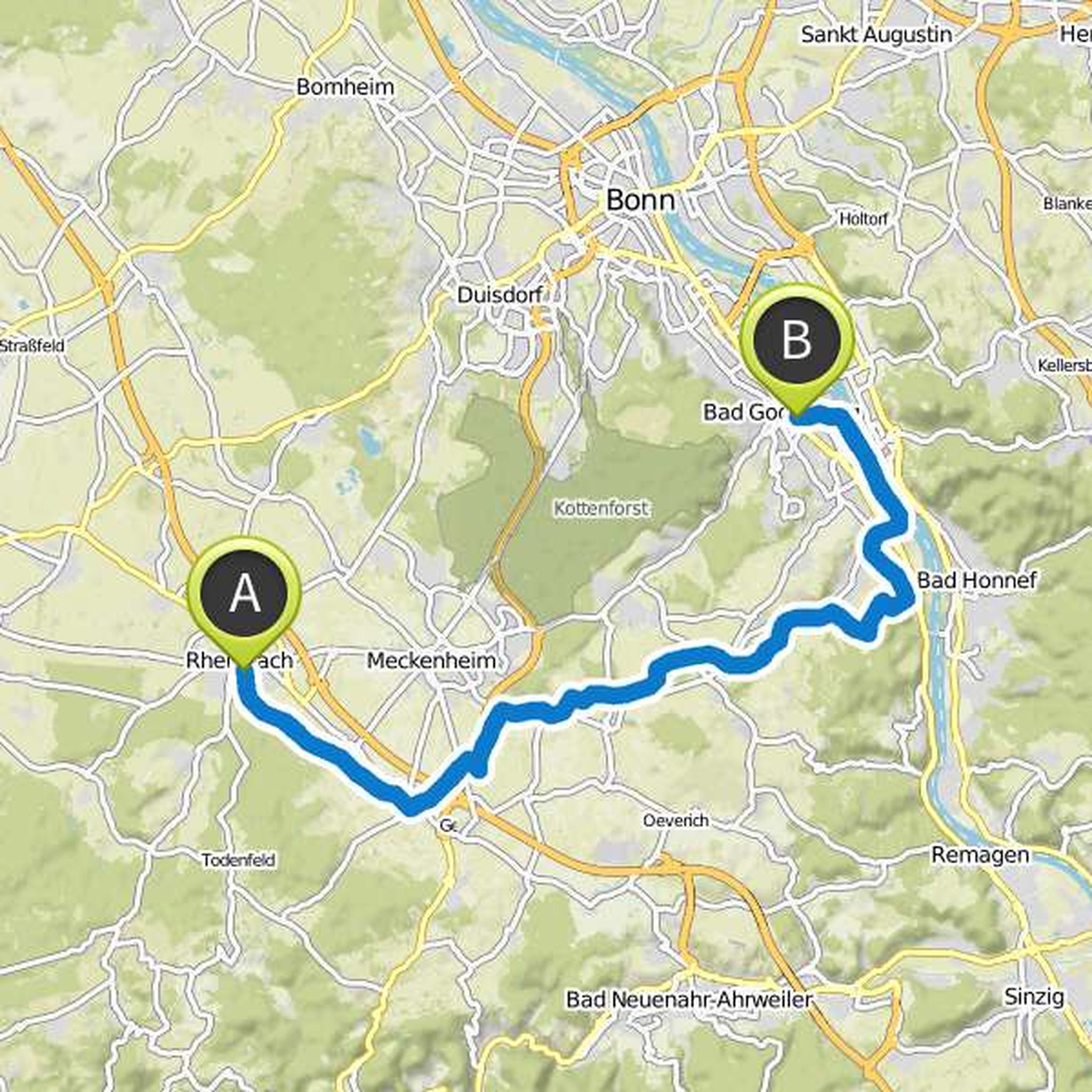
It goes back to the Rhine. The last stage takes you back to Bad Godesberg - the starting point of the Wasserburgen Route. The path usually runs through meadows and fields, and you will always come across castles and moated castles on this approximately 35 kilometer long stage. After 26 kilometers, after
Μετάφραση από Google •