En etkileyici 20 zirve Grän
İster manzara için ister meydan okuma için olsun, Grän dağ zirvelerine tırmanmak bu güzel bölgeyi daha fazla deneyimlemenin en iyi yoludur. Ancak 20
seçenek arasından hangisini seçeceğinizi bilmek zor olabilir. Bu yüzden Grän en iyi zirveleri sizin için burada derledik — bir sonraki maceranıza kolayca ekleyebilmeniz için.
Son güncelleme: 4 Ağustos 2026
Iseler Peak
Highlight • Zirve
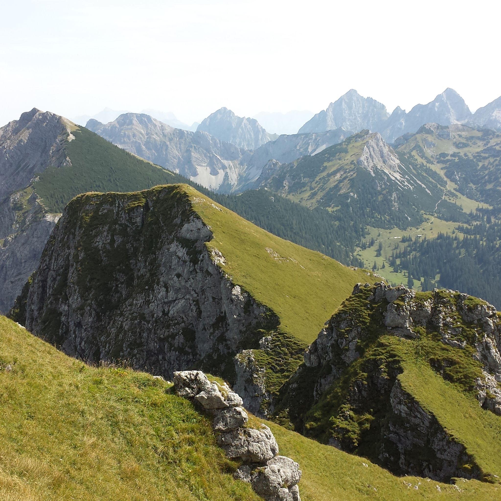
The view of the surrounding mountain landscape is huge. The path to the Iseler summit requires not only certain surefootedness.
Çeviren Google •
İpucu —

Ostlerhütte
Highlight • Dağ evi
Çeviren Google •
İpucu —

Böyle yerleri keşfetmek için şimdi kaydol
En iyi single trackler, zirveler ve başka birçok heyecan verici açık hava mekânı için öneriler al.
Ücretsiz kaydol
Saloberalm
Highlight • Dağ evi
Çeviren Google •
İpucu —

Breitenberg Summit
Highlight • Zirve
Çeviren Google •
İpucu —

Burgruine Falkenstein
Highlight • Kale
Çeviren Google •
İpucu —

Daha fazla zirve keşfetmek için ücretsiz kaydol Grän .
Ücretsiz kaydol
Zaten hesabın var mı?
Bugün ücretsiz bir hesapla başla
Sıradaki maceran seni bekliyor.
Giriş yap veya kaydol
Grän çevresinde popüler
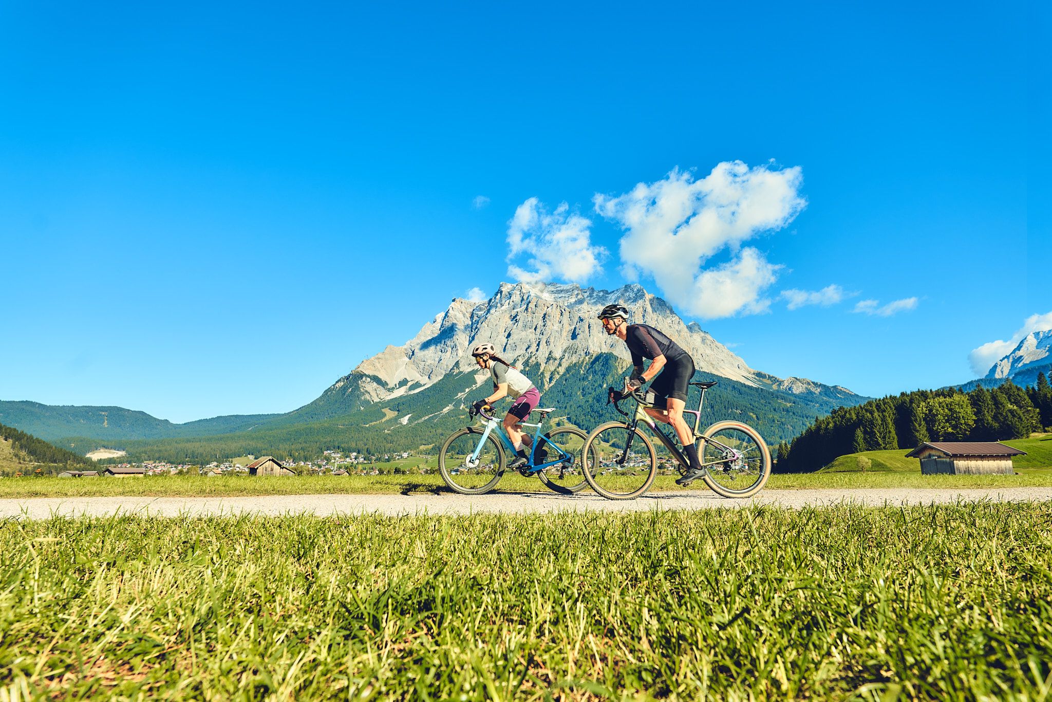
Experience the Außerfern in Tyrol's largest gravel bike region
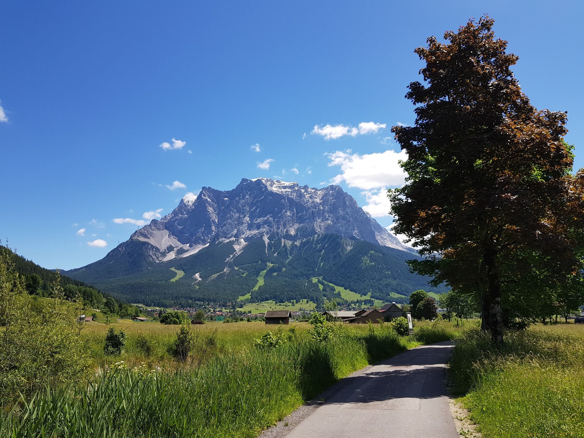
Bikepacking around Germany’s immense Zugspitze
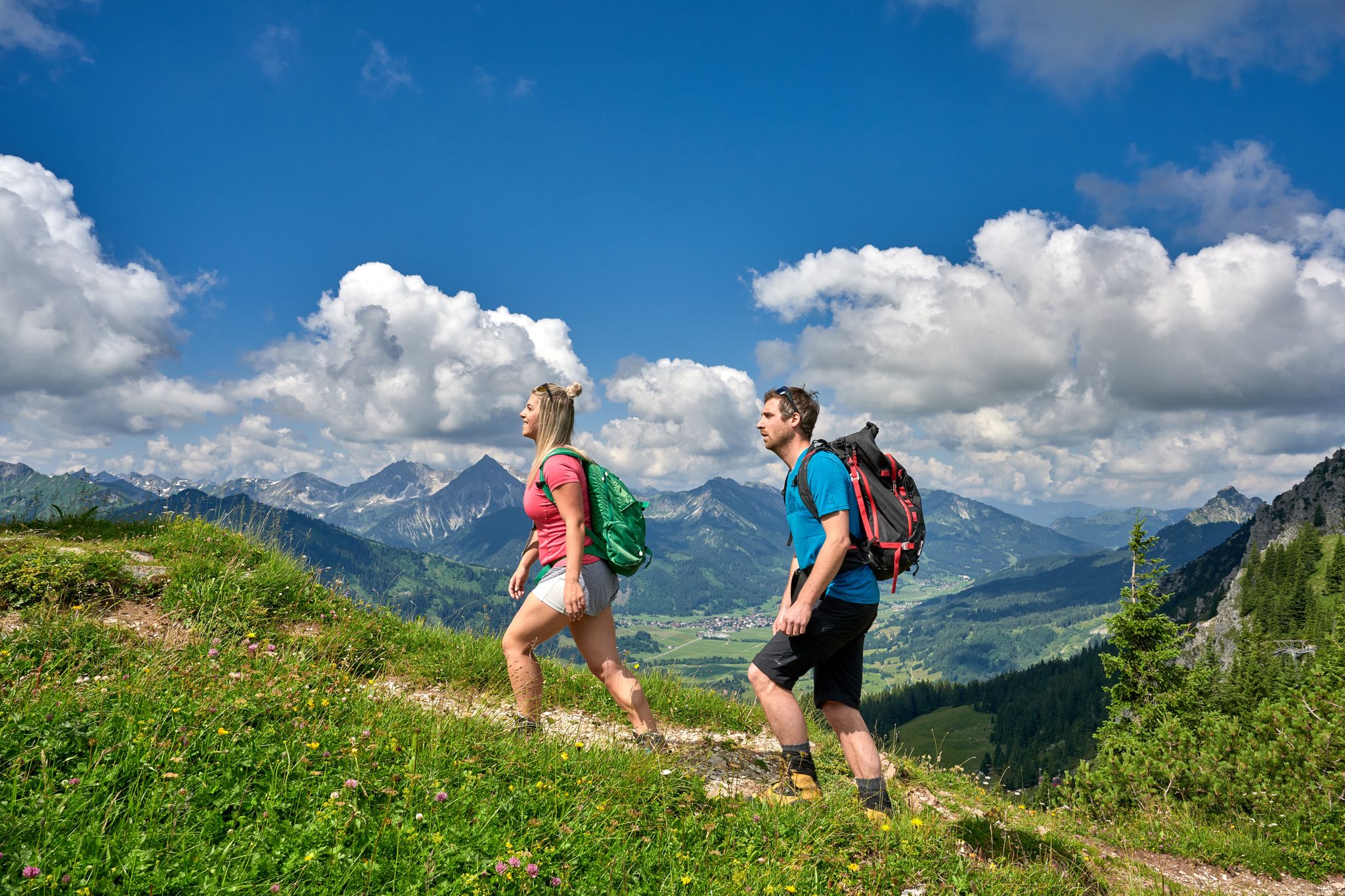
Beautiful alpine hikes with mountain huts in Austria’s Tannheimer Tal
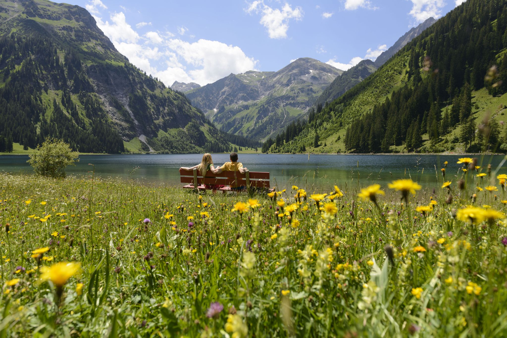
Summits, lakes & pleasure — Hiking in the Tannheimer Valley
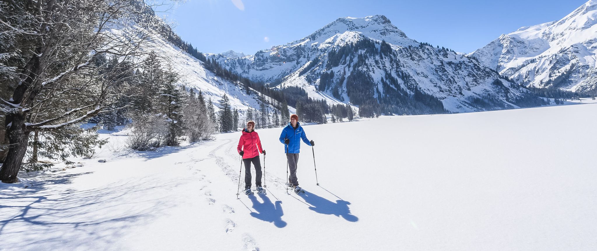
Mountains, snow & a clear blue sky – winter hikes in the Tannheimer Valley
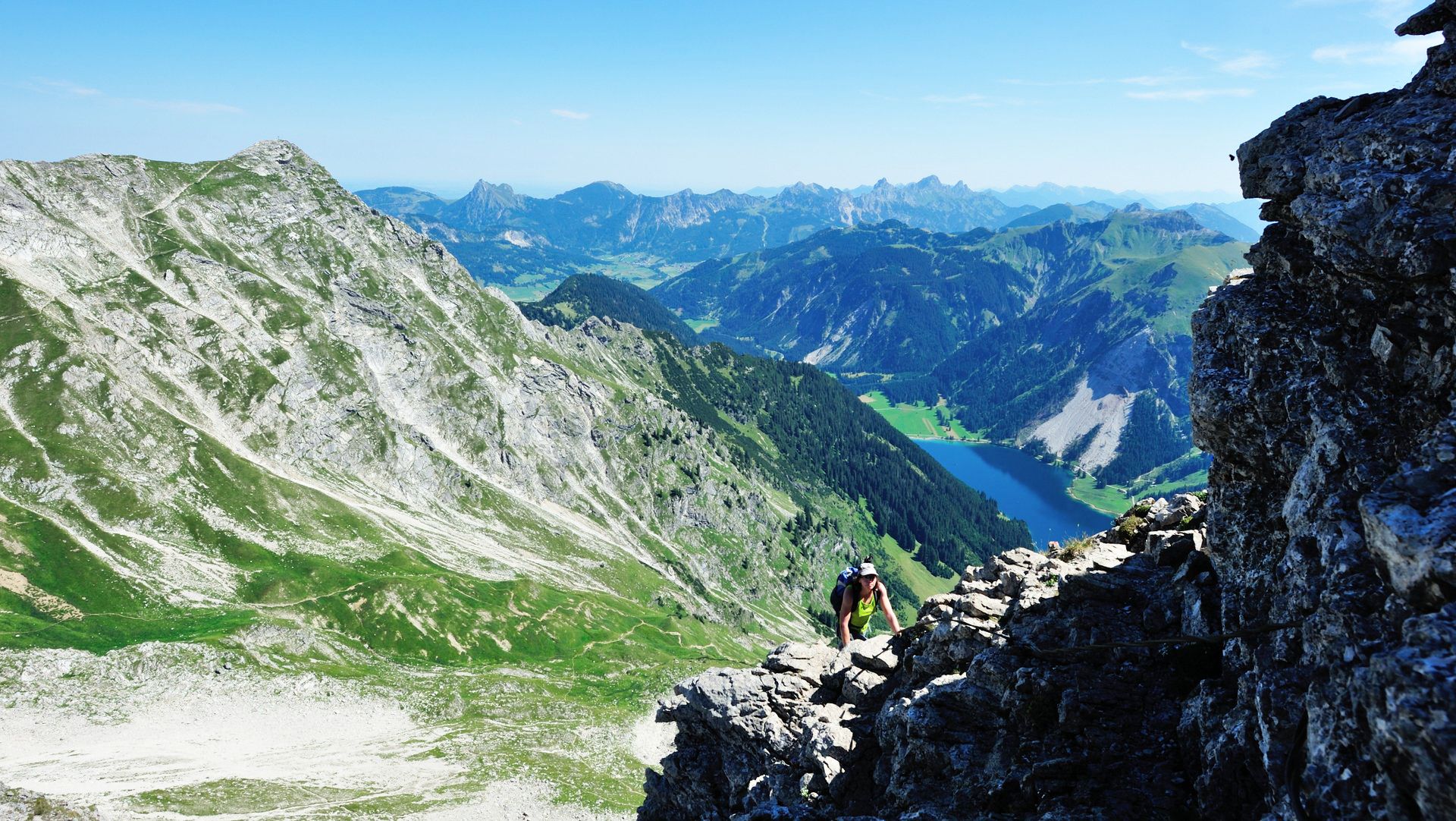
Up up and away in the Allgäu
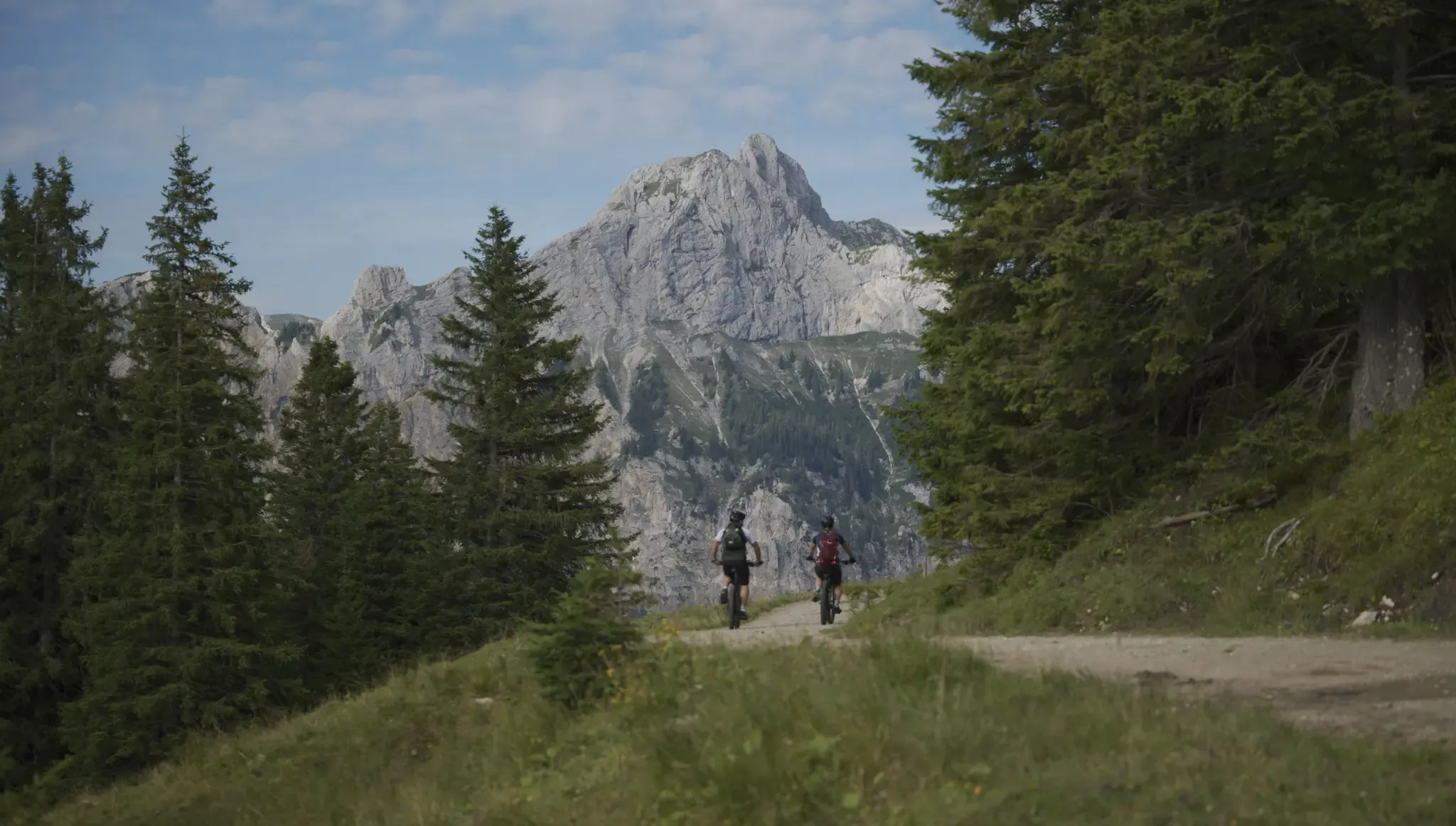
Fünf Arten, das Tannheimer Tal auf zwei Rädern zu erkunden
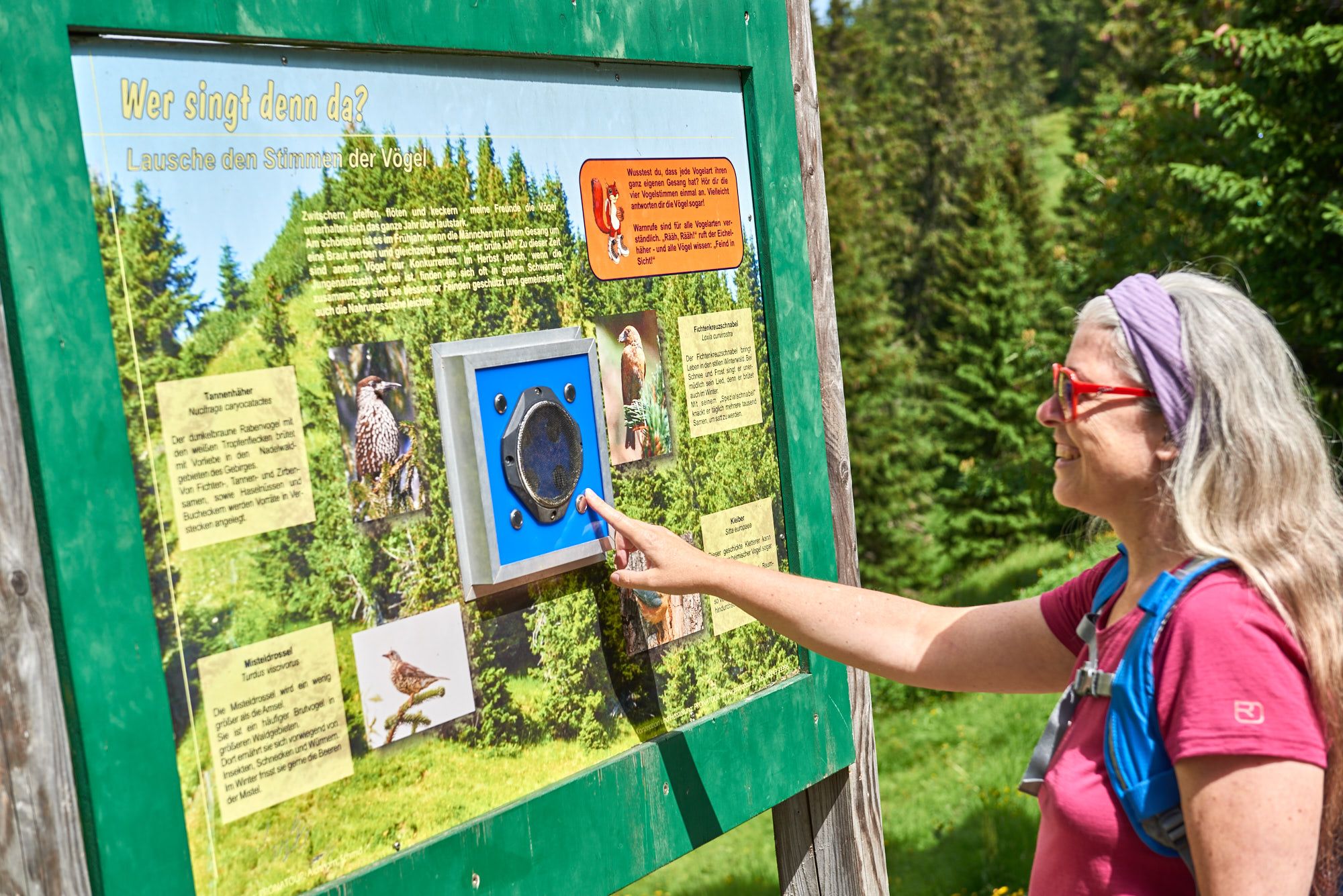
Wissenswertes über die Natur bis zur Geschichte – Themenwege im Tannheimer Tal
Yürüyüş rotaları Grän
Bisiklet rotaları Grän
Diğer maceralar Grän


Topluluktan ipuçları

Unfortunately, the Iseler is usually completely overcrowded thanks to the cable car underneath
3
0

The steep gravel path up is torture, but the view is worth it.
4
0

Breathtaking views of the surrounding mountains and the valley. A truly royal feeling! 😉 From the complex there is a great view of the Vilstal valley below and the peaks of the Tannheimer group.
5
0

The 1838 meter high Breitenberg near Pfronten is a relatively easy mountain to climb, and from the summit it offers a beautiful view down into the Allgäu. Several paths of varying steepness lead up in 2 - 2.5 hours, a complete crossing takes about 5 hours. An easy and long path starts on the west side north of the German-Austrian border. It is even easier to take the cable car to the saddle between Breitenberg and Aggenstein. The Ostlerhütte is right on the summit. On the steep north side is the Tirolerstadl and behind it a challenging path to the summit. In winter there is a ski area on the Breitenberg. Source: https://allgaeu-erleben.com/0404-breitenberg.php
4
0

Managed and in a good location
6
0

Great view on both sides of the ridge. Mountain panorama in the south, wide view of the Allgäu to the north
5
0

En popüler rotalar Grän
En popüler cazibe noktaları Grän

Komoot mobil uygulamasıyla ilham al


Daha fazlasını keşfet
Daha fazla muhteşem zirveyi görmek mi istiyorsun Grän ? Bu rehberlere göz at:
