De bästa promenaderna och vandringarna i Aggeraue Zwischen Lohmar Und Siegburg
4,5
(30363)
119 431
vandrare
2 039
vandringar
Letar du efter de bästa vandringarna i Aggeraue Zwischen Lohmar Und Siegburg? Bläddra då igenom vår samling av vandringsrutter runt denna vackra naturpark i Rhein-Sieg-Kreis nedan. Vi presenterar vandringsleder i Aggeraue Zwischen Lohmar Und Siegburg — allt du behöver göra är att välja din favorit och ge dig iväg.
Senast uppdaterad: 24 juli 2026
4,6
(383)
1 337
vandrare
8,65km
02:20
120m
120m
Måttlig vandring. God kondition krävs. Lättillgängliga stigar. Passar alla färdighetsnivåer.
4,8
(180)
582
vandrare
4,39km
01:12
60m
60m
Lätt vandring. Passar alla konditionsnivåer. Lättillgängliga stigar. Passar alla färdighetsnivåer.

Registrera dig gratis
4,4
(54)
215
vandrare
21,1km
05:36
200m
200m
Svår vandring. Mycket god kondition krävs. Lättillgängliga stigar. Passar alla färdighetsnivåer.
4,7
(61)
203
vandrare
Måttlig vandring. God kondition krävs. Lättillgängliga stigar. Passar alla färdighetsnivåer.
4,5
(26)
134
vandrare
9,05km
02:23
80m
80m
Måttlig vandring. God kondition krävs. Lättillgängliga stigar. Passar alla färdighetsnivåer.
Få tillgång till fler rutter och rekommendationer från andra äventyrare.
Registrera dig gratis
Har du redan ett konto?
Våra ruttförslag baseras på tusentals vandringar, cykelturer och löprundor som andra personer har genomfört på komoot.
Börja idag med ett gratis konto
Ditt nästa äventyr väntar.
Logga in eller registrera dig
Populärt runt Aggeraue Zwischen Lohmar Und Siegburg
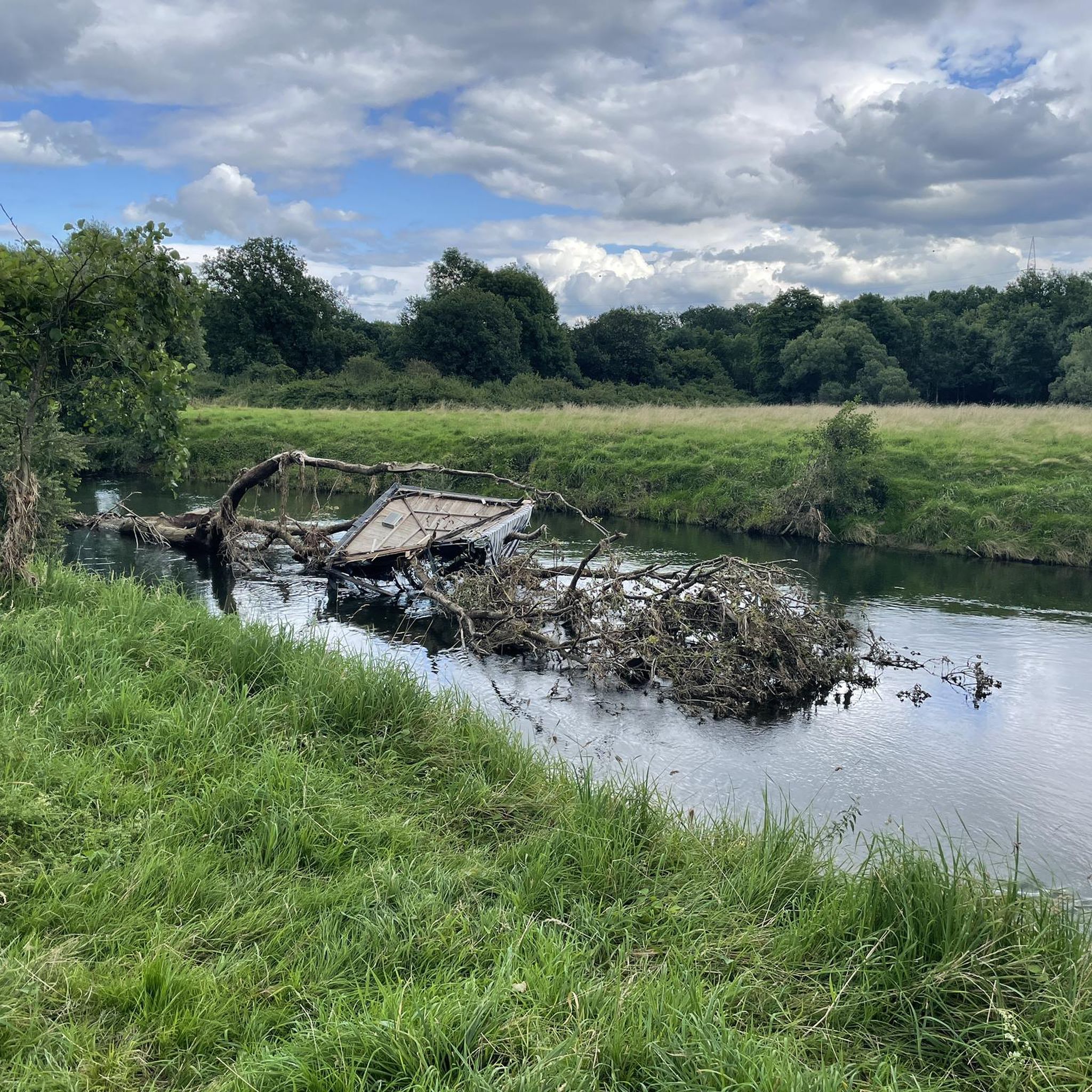
Cykelrutter i Aggeraue Zwischen Lohmar Und Siegburg
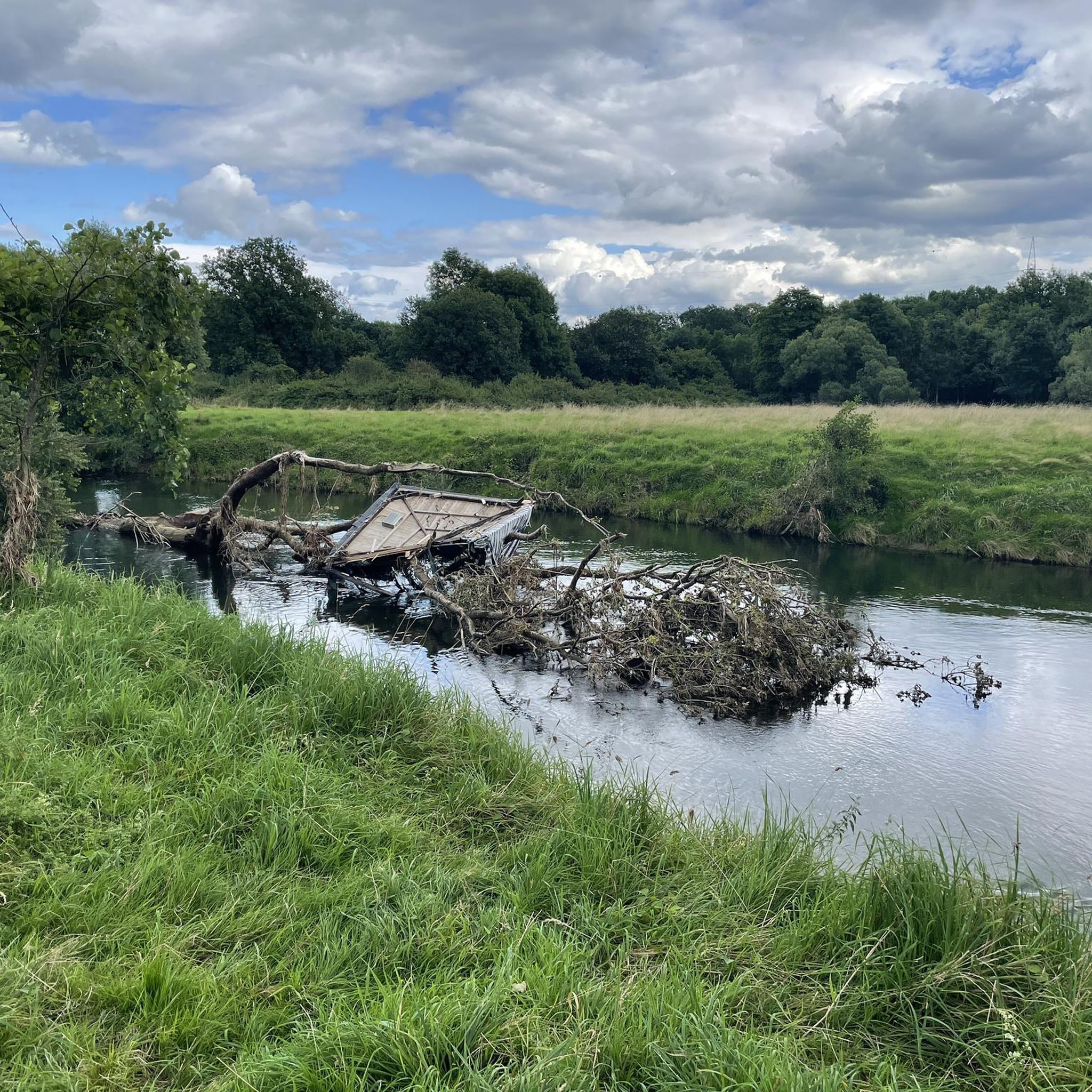
Landsvägsrutter i Aggeraue Zwischen Lohmar Und Siegburg
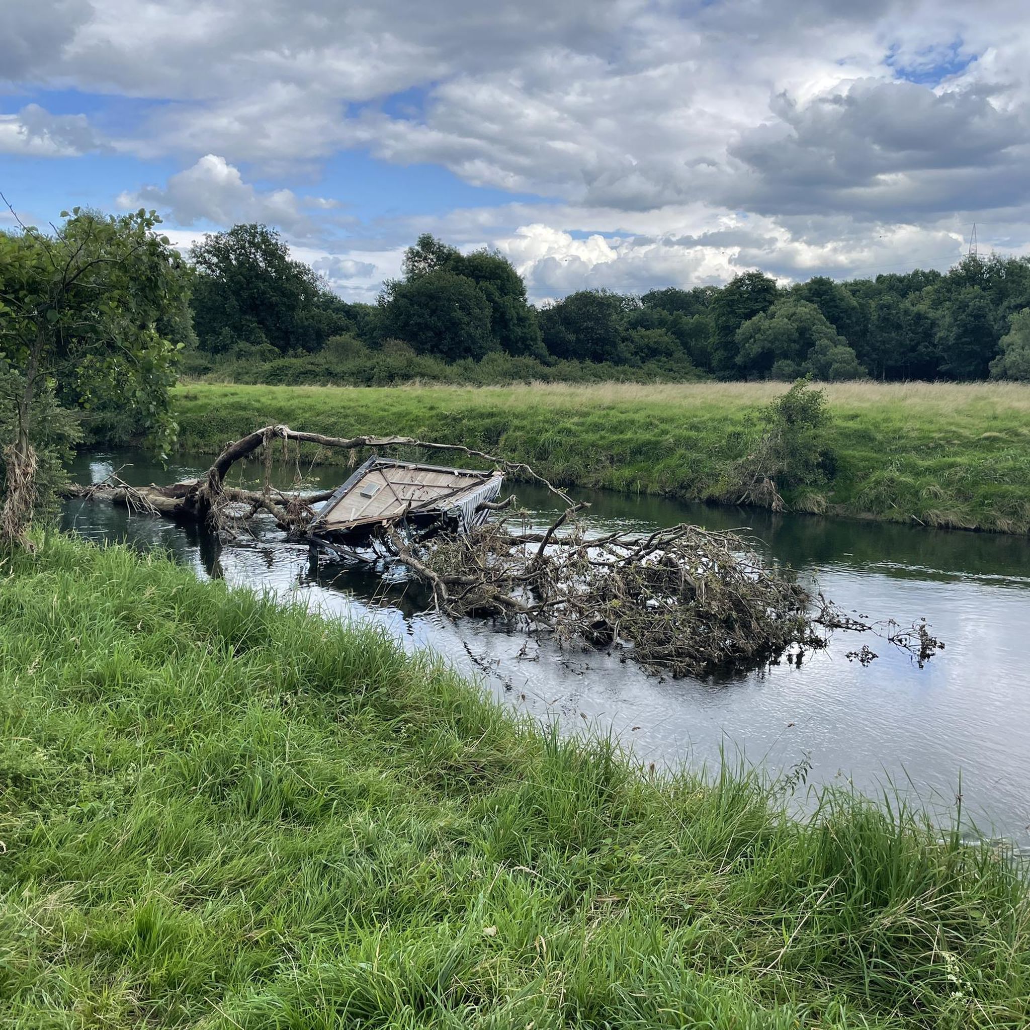
Mountainbikeleder i Aggeraue Zwischen Lohmar Und Siegburg
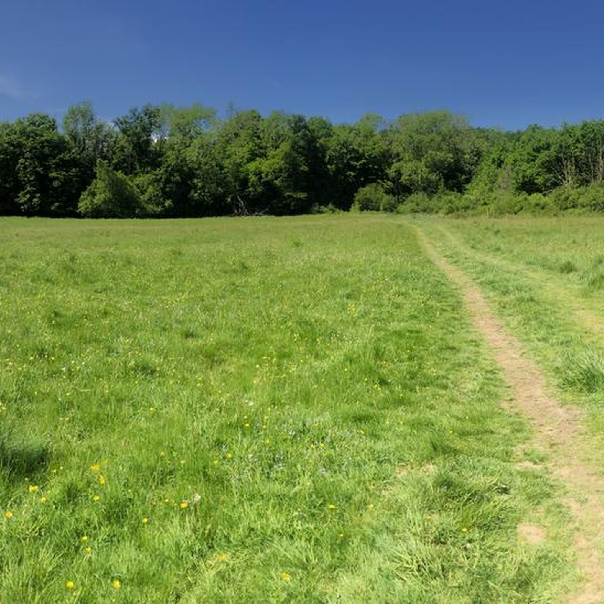
Löparrutter i Aggeraue Zwischen Lohmar Und Siegburg
Gravelcykling i Aggeraue Zwischen Lohmar Und Siegburg
Fjällvandringar i Aggeraue Zwischen Lohmar Und Siegburg
Tips från communityn

ett tidigare övningsområde för de belgiska vännerna och nu Bundeswehr
0
0

Fliegenberg is a prominent hill in the Wahner Heide nature reserve, offering a beautiful vantage point. From here, you can see large parts of the Wahner Heide – with its open heathland, pine forests, and rolling hills. The view is particularly impressive in late summer when the heather is in bloom, showcasing the colorful diversity of the landscape.
0
0

Wiemers Loch is located in the Fliegenberg area. It is a deep, ravine-like erosion gully in the quartz sandstone, formed by surface runoff. The name originates from a local legend. According to this legend, a notorious robber named Wiemer used the ravine as a hideout. The story goes that Wiemer supposedly ambushed travelers on the old Aggerstraße road from here. The area is part of a marked circular hiking trail, the Fliegenberg Tour.
0
0
A sunken lane is a path that, through centuries of use by carts and livestock, as well as runoff from rainwater, has cut itself up to 10 meters deep into the surrounding terrain. Here you can clearly see the resulting embankment to the right and left of the path.
0
0
This oxbow lake was formed when the Agger River changed its course, leaving behind calm, often stagnant waters or wetlands. 👍🏼
2
0
This oxbow lake was formed when the Agger River changed its course, leaving behind calm, often stagnant waters or wetlands. 👍🏼
2
0
Wiemers Loch refers to a special area or small depression in the heath, often visited by hikers and nature lovers. The heath trail leads through typical heath and woodland landscapes and offers beautiful views, especially when the heather is in bloom (usually in late summer).
0
0

Mest populära rutter i Aggeraue Zwischen Lohmar Und Siegburg
Mest populära sevärdheter i Aggeraue Zwischen Lohmar Und Siegburg

Bli inspirerad med komoots mobilapp


Utforska mer
Bläddra bland de bästa Vandringar i andra regioner.
