Top 16 trecători montane aproape de Beddgelert
Fie pentru priveliști, pentru urcări sau pentru coborâri, răsfoiește lista noastră cu cele mai bune trecători montane aproape de Beddgelert și fă din următoarea ta aventură una de neuitat. Contribuții ale comunității, pentru comunitate — fiecare trecătoare montană este o recomandare personală de încredere, așa că pur și simplu găsește-o pe cea preferată și pornește la drum.
Ultima actualizare: 23 iulie 2026
Cnicht Summit
Highlight • Monument natural
Sfat de

Bwlch Glas Pass
Highlight • Monument natural
Sfat de

Înscrie‑te acum pentru a descoperi locuri ca acesta
Primești recomandări pentru cele mai bune singletrack‑uri, vârfuri și multe alte locuri interesante în aer liber.
Înscrie‑te gratuit
Bwlch Main Ridge
Highlight • Traseu
Tradus de Google •
Sfat de

Bwlch Eryl Farchog
Highlight (Segment) • Cățărare
Sfat de

Telegraph Valley (Maesgwm)
Highlight (Segment) • Traseu
Sfat de
Înscrie‑te gratuit pentru a descoperi și mai multe trecători montane aproape de Beddgelert.
Înscrie‑te gratuit
Ai deja un cont?
Începe azi cu un cont gratuit
Următoarea ta aventură te așteaptă.
Conectează‑te sau înregistrează‑te
Popular în jurul Beddgelert
Adventures with a Purpose – our A-TEAMers’ best routes
The Dragon's Back – running the spine of Wales
Ultra Trail Snowdonia by UTMB – 100 epic miles in Eryri
Snowdonia Way – A dramatic hike through Eryri's mountainous heart
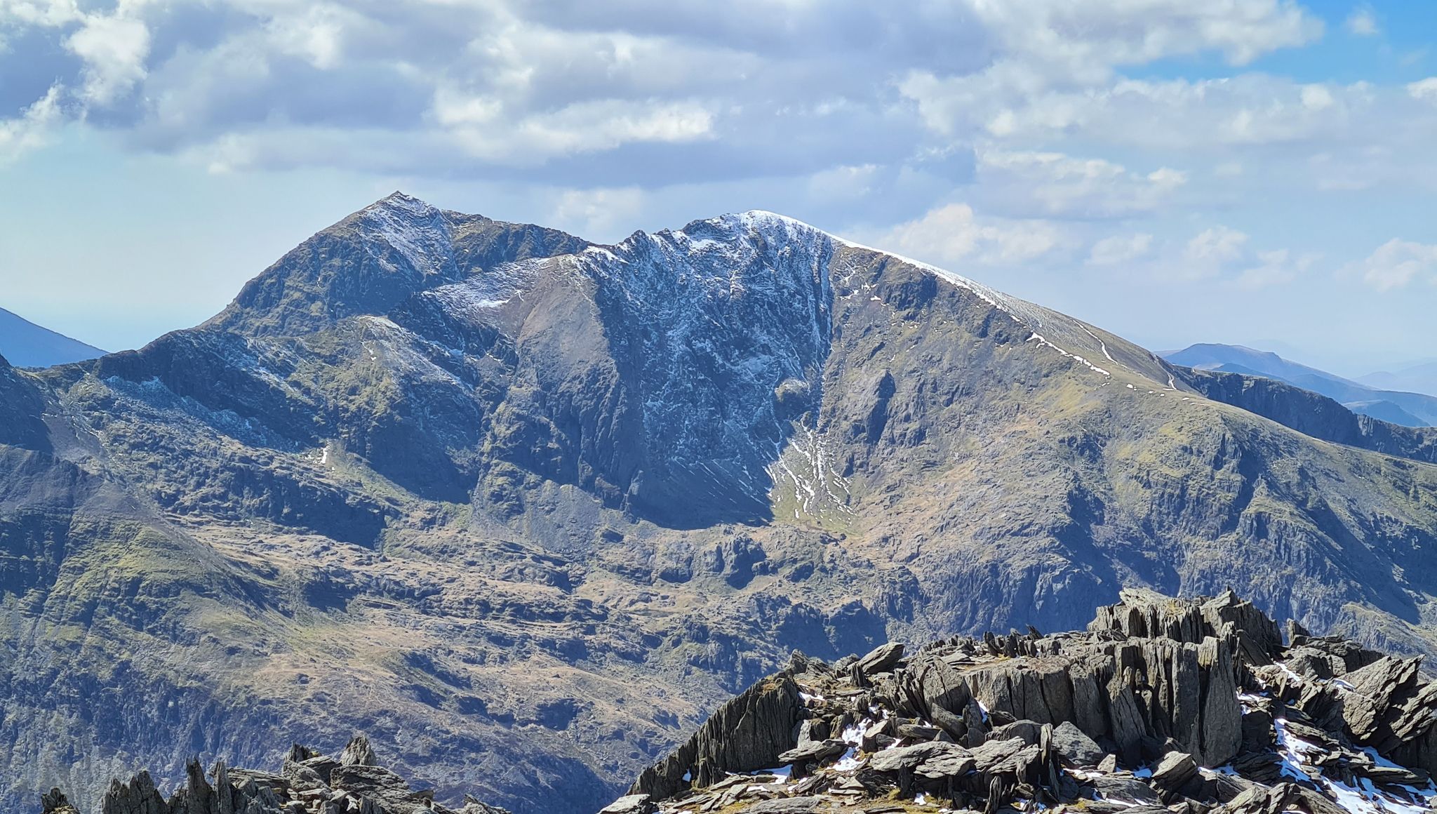
Snowdonia Way Mountain Route – Rise to Eryri's awesome summits

O Fon i Fynwy — Exploring Wales on foot from top to bottom
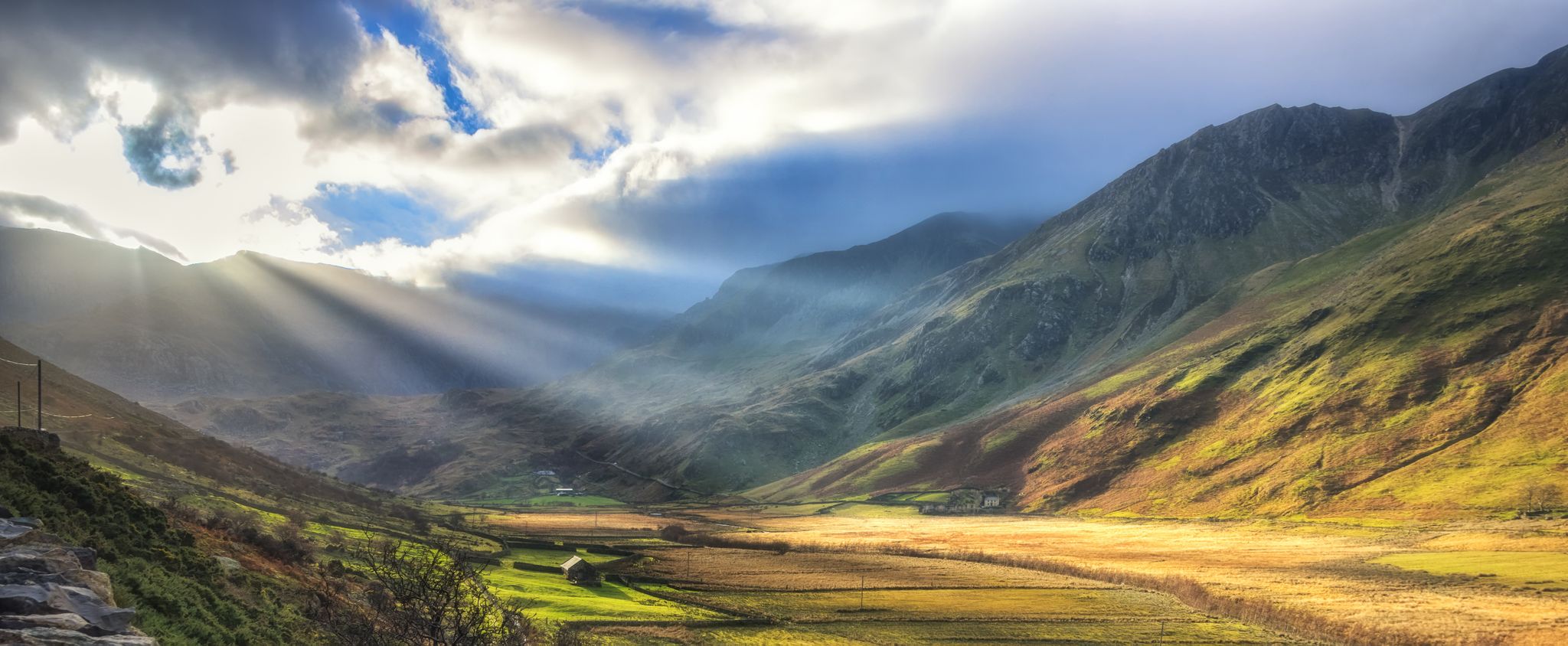
Snowdonia Slate Trail — Unearth one of Wales' most spectacular hikes
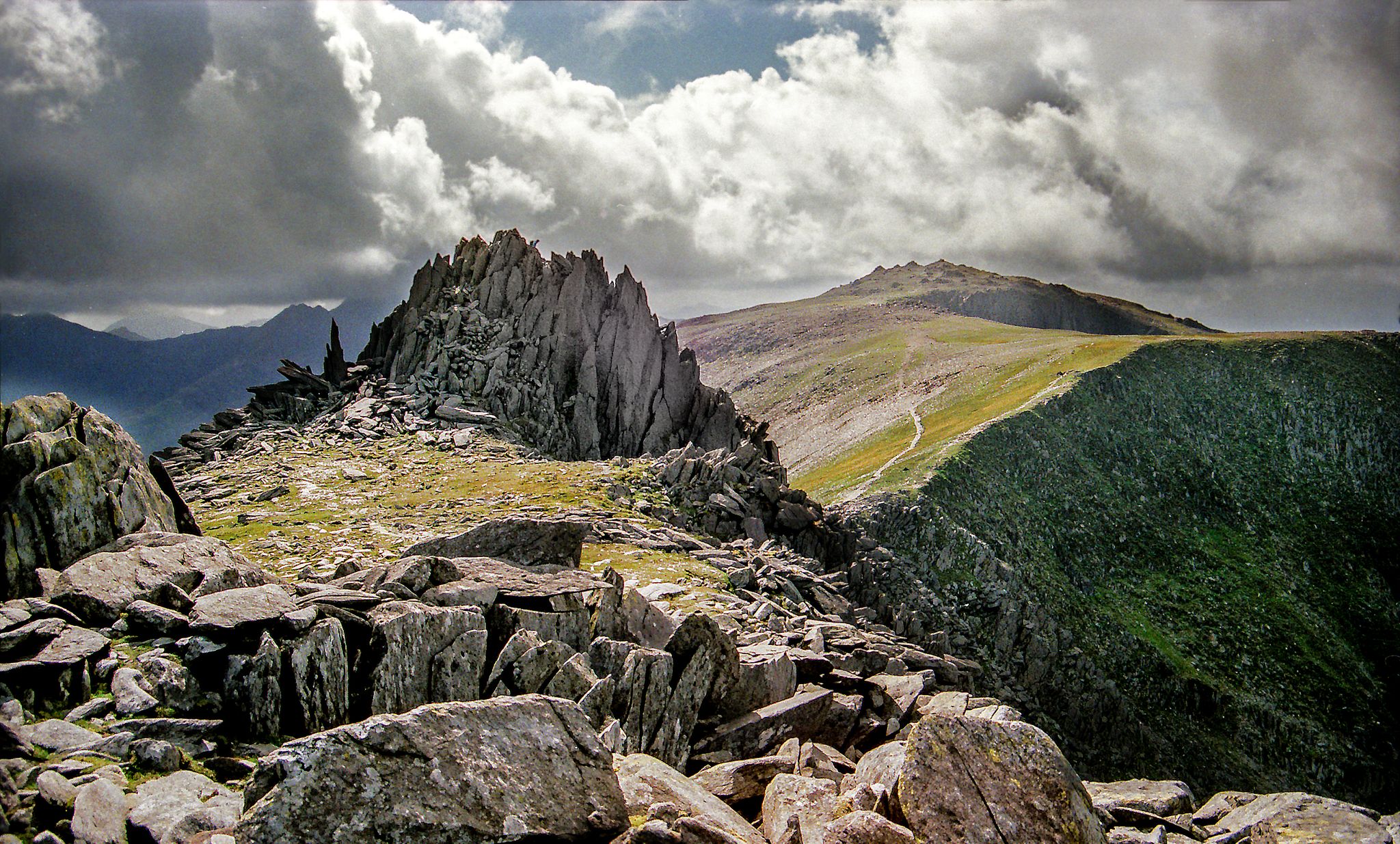
Hiking the Paddy Buckley Round — An epic Snowdonian adventure
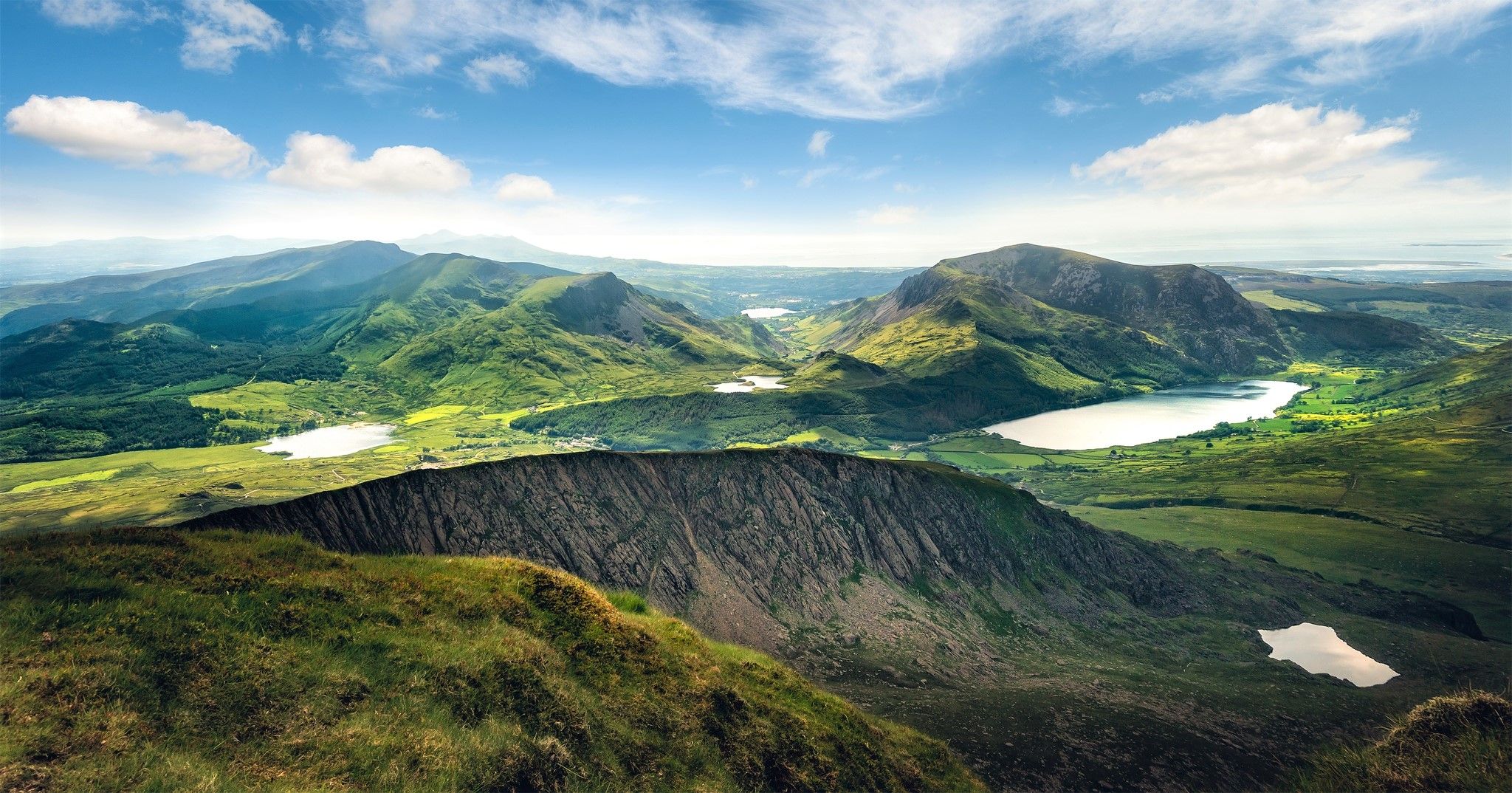
Cambrian Way — Hike the highest, wildest and most beautiful trail in Wales
Welsh 3000s — Eryri's (Snowdonia's) spectacular hiking challenge
Alte aventuri aproape de Beddgelert


Sfaturi din comunitate

Crestă excelentă de legătură între Carnedd Llewellyn și Pen yr Helgi Du. Trasee frumoase de cățărare și scrambling pe versantul nordic, cum ar fi în Amfiteatru.
0
0
The Bwlch Main (south west ridge) is a great way to descend from the summit of Snowdon, particularly on a winter's day. Great views all the way to the Irish Sea
0
0

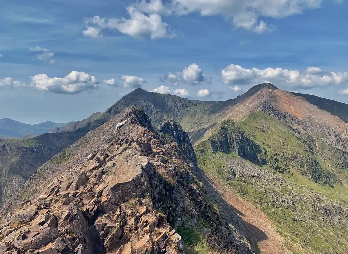
🥾Bwlch Main (Welsh: “narrow pass”) is the exposed ridge that connects the upper slopes of the Rhyd Ddu Path to the Snowdon summit. A narrow crest with steep drops on either side, making it both dramatic and challenging. The ridge is roughly 500–600m long and feels like a true alpine section compared with the grassy and stony lower parts of the trail. 👥 Quiet & scenic: Unlike the “motorway” feel of the Llanberis Path, Bwlch Main gives a real mountain experience with the thrill of exposure. For experienced hikers seeking an exhilarating experience, it significantly quieter (albeit much easier) than Crib Goch. 👁️🗨️ On a clear day you can see the Nantlle Ridge, Moel Hebog, and across to the sea. Looking north, Llyn Cwellyn and the ridges rolling out towards Anglesey. ⚠️ Dramatic ridgeline section: The path to the top of Snowdon from this ridge includes the Llechog ridge, which provide exposure (drops, narrower path sections) the narrow section gets to only a couple of feet wide. You will need a good head for heights! And some boots with good grips for some looser rock or scree sections. Check the mountain forecast before heading out 🌬️ In high winds, the ridge can feel intimidating and unsafe. 🌧️❄️In ice, snow, or heavy rain, the narrow path and sloping rock become treacherous. 😶🌫️ Cloud / fog can reduce visibility and make it psychologically harder. To sum up: The Bwlch Main ridge is one of Snowdon’s most thrilling features. It adds a real sense of adventure to the Rhyd Ddu Path. On a good day, it’s a highlight: airy, beautiful, and memorable without being a true scramble. But in poor weather, it can turn from exhilarating to dangerous very quickly. For experienced walkers in fair conditions, it’s one of the most rewarding routes to the summit. For those with vertigo or less mountain experience, it may be better admired from afar.
0
0
Rainbows on mountains tend to be a mixed blessing as they are a pretty sure sign that you are about to get wet! However from the photographers point of view they can also signal some great light, with sun mixed in with dark moody clouds. This was the view from near the summit of Cnicht - otherwise sometimes called the Welsh Matterhorn due to its pointy appearance from the village of Croesor. To the right of the picture is Moel Hebog which rises steeply above the pictuesque village of Beddgelert.
0
0
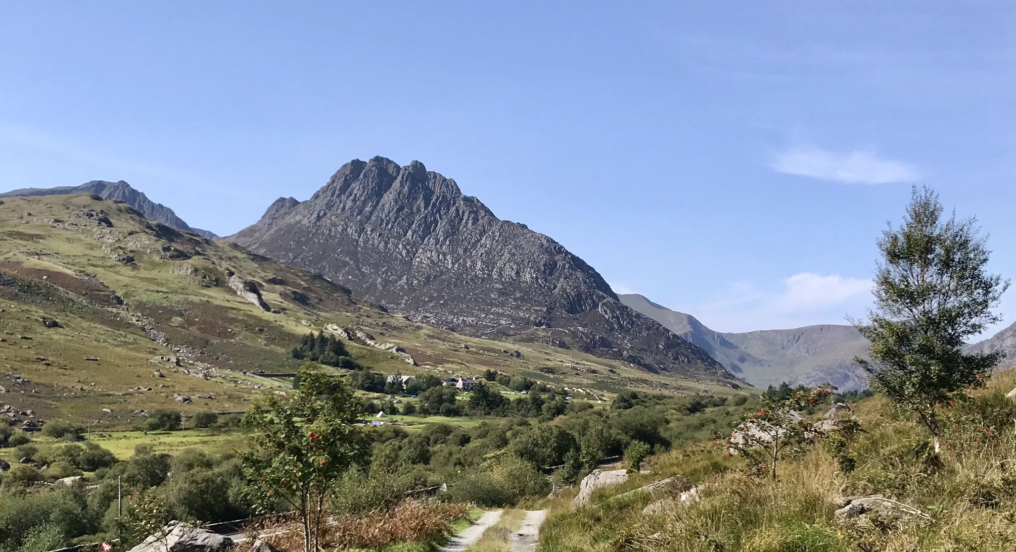
A fine rocky and in places narrow ridge, and you will often have it all to yourself!
0
0

Beautiful hike, too bad it was cloudy at the top. 12.3 km isn't the actual distance you'll be hiking: it's definitely 10 km more because you can't walk a straight line on this path. It's very busy on this trail; there's a queue to reach the top.
0
0

Crazy hiking all the way up and then seeing a train pass you on the final section!
0
0

Magnificent and dizzying view! However, prefer to go around in the opposite direction to that indicated. The steep slope is very narrow and steep. Easier to go up than to go down.
0
0
Cele mai populare trasee aproape de Beddgelert
Cele mai populare atracții aproape de Beddgelert

Inspiră‑te cu aplicația mobilă komoot


Explorează mai mult
Vezi treceri montane și mai epice consultând aceste ghiduri aproape de Beddgelert:
