Trilhas e caminhadas imperdíveis around Baywood Park
4,5
(74)
1.750
caminhantes
112
trilhas
Para te ajudar a encontrar os melhores Percursos de caminhada e montanhismo around Baywood Park, atualizámos toda a nossa coleção de trilhos e rotas na região. Explora todos os detalhes de cada rota abaixo e aproveita ao máximo as paisagens around Baywood Park.
Última atualização: 26 de julho de 2026
3,0
(2)
12
caminhantes
5,31km
01:26
70m
70m
Trilha fácil. Qualquer nível de preparo físico. Caminho de fácil acesso. Adequado para todos os níveis de experiência.
4
caminhantes
9,67km
02:33
120m
40m
Caminhada moderada. Requer bom preparo físico. Caminho de fácil acesso. Adequado para todos os níveis de experiência.

Criar conta grátis
1,07km
00:22
90m
0m
Trilha fácil. Qualquer nível de preparo físico. Caminho de fácil acesso. Adequado para todos os níveis de experiência.
18,0km
05:14
480m
450m
Caminhada difícil. Requer excelente preparo físico. Caminho de fácil acesso. Adequado para todos os níveis de experiência.
5,0
(1)
10
caminhantes
3,52km
01:05
130m
130m
Trilha fácil. Qualquer nível de preparo físico. Caminho de fácil acesso. Adequado para todos os níveis de experiência.
Tenha acesso a mais rotas e recomendações de outras pessoas aventureiras.
Criar conta grátis
Já tem uma conta?
Os Percursos recomendados são baseados nas atividades realizadas por outras pessoas no komoot.
Comece hoje com uma conta gratuita
Sua próxima aventura espera por você.
Entrar ou Cadastrar-se
Dicas da Comunidade

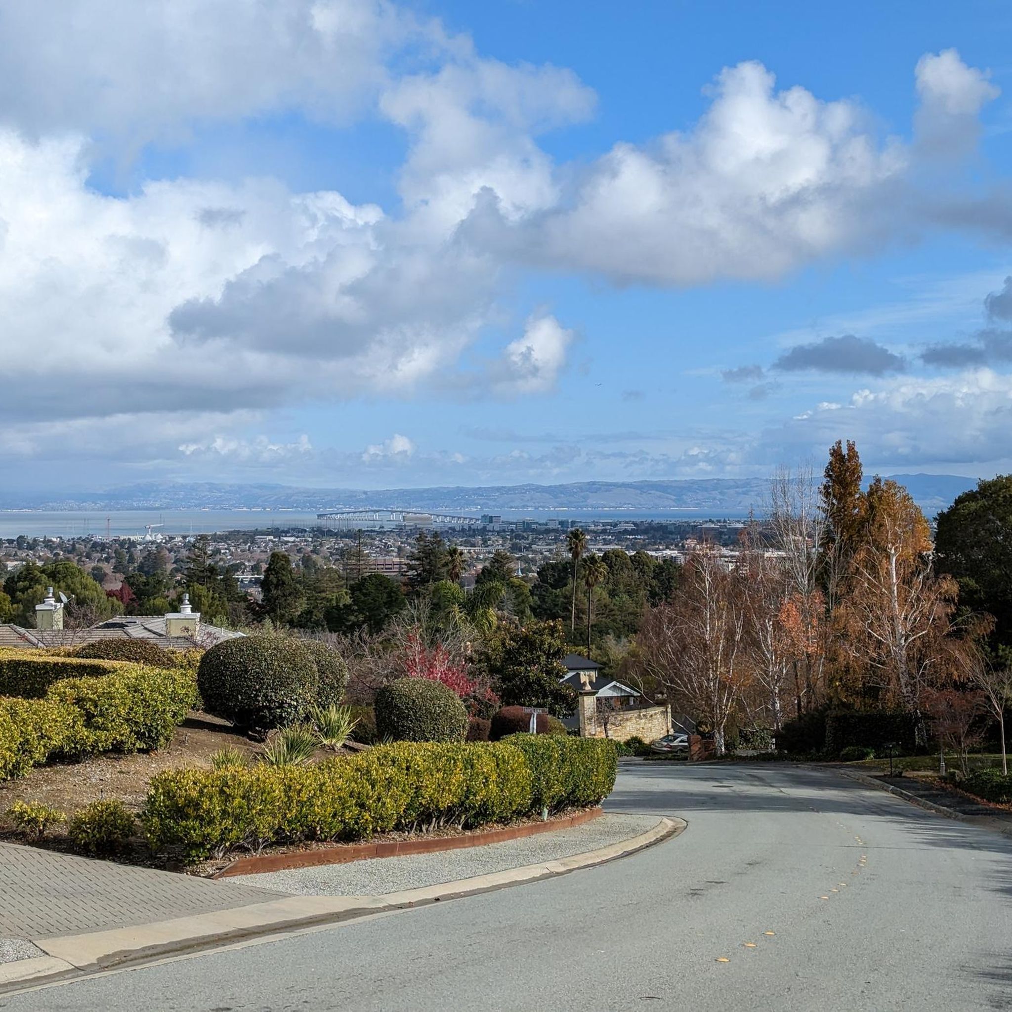
Pretty, near-panoramic views of the surrounding hills.
0
0

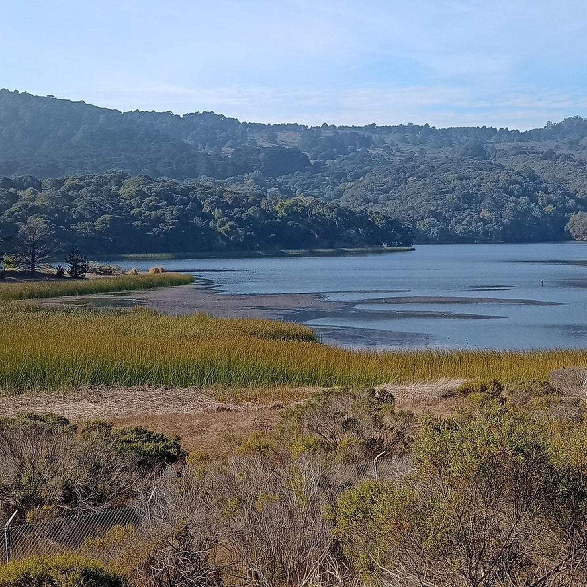
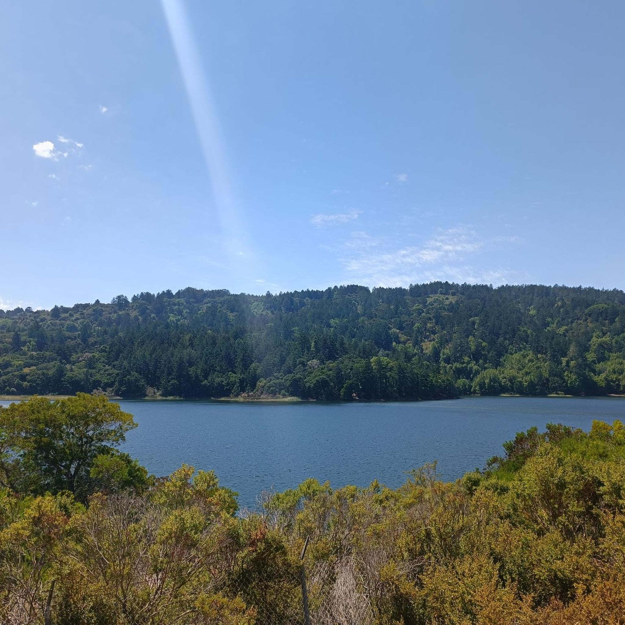
San Andreas Lake is a hidden gem tucked into the hills of San Mateo County, just south of San Francisco. Originally a natural sag pond formed by the San Andreas Fault, it was transformed into a reservoir in the late 1800s and now serves as a vital water source for the region. The lake is off-limits for swimming or boating, but you can enjoy its peaceful beauty from the San Andreas Trail or the popular Sawyer Camp Trail, which runs along its eastern edge. It's a serene spot where you can walk or bike with sweeping views of the water and surrounding hills, all while standing right on one of the world’s most famous fault lines. Despite its proximity to urban life, San Andreas Lake offers a quiet, scenic escape steeped in natural and historical significance.
1
0

Sugarloaf Mountain, sometimes more aptly called Sugarloaf Hill, is a simple and quick summit in the San Mateo area, offering some satisfying views of the greater San Francisco Bay Area. It is a great day hike destination if you are in the area.
0
0

Unfortunately Fifield Ridge is only accessible on guided rides organized by the Water district, entering from the South. Reservation is free and online. There is an interesting view to the Andreas fault lakes
0
0

Relatively busy with pedestrians during the weekend but still nice ride. Pavement is pretty good.
0
0
San Andreas Lake is a reservoir adjacent to the San Francisco Peninsula cities of Millbrae and San Bruno in San Mateo County, California. It is situated directly on the San Andreas Fault, which is named after the valley it is in. (https://en.wikipedia.org/wiki/San_Andreas_Lake)
0
0
See https://www.komoot.de/highlight/172571 The 15-mile Crystal Springs Regional Trail is one of the best mostly paved bike trails with few cars in the Bay Area. It spans from San Bruno to Woodside and is routed along three gorgeous lakes and connector links amid riparian woodlands. On Sundays, you can combine the San Andreas and Sawyer Camp segments to south of Highway 92 to Cañada Road, which is closed to cars for Bicycle Sundays (See https://www.komoot.de/tour/11413421 ). Speed limit: 15 mph, difficult for high-end road bikes to stay below; hikers: please don't stand and talk in the center of the trail. San Andreas segment: From Skyline Boulevard south of San Bruno Avenue the trail drops to the head of San Andreas Lake, with pretty views across to the west of the wilderness slope of Montara Mountain. It rides along the lake 2 miles to an access point near Larkspur and 0.6 miles to another (at Hillcrest) where it connects to the Sawyer Camp segment. Sawyer Camp segment: This is a gorgeous, easy bike ride, where you drop 400 feet over the span of 6 miles to Crystal Springs Dam. The route descends into riparian woodlands for 2.5 miles to Jepson Laurel picnic grounds, then runs along Crystal Springs Reservoir for 5.2 miles. You can continue another 1.7 miles to Cañada Road for Bicycle Sunday (no cars). Cañada Road/Crystal Springs segment: South along Upper Crystal Springs Reservoir for 2.1 miles to the Pulgas Water Temple. It continues another 2.1 miles past Filoli Botanical Center and Phleger Estate to Edgewood Road - http://sfgate.com/outdoors/sundaydrive/article/Crystal-Springs-Trail-links-lakes-woodlands-4723374.php - http://parks.smcgov.org/crystal-springs-regional-trail
0
0
Atrações mais populares em around Baywood Park

Inspire-se com o aplicativo móvel komoot


Explore mais
Explore o melhor Caminhadas em outras regiões.
