De beste terrengsykkelrutene rundt Montclar
4,5
(41)
279
syklister
15
syklinger
Det finnes noen flotte terrengsykkelstier rundt Montclar — men hvordan vet du hvor du skal dra? Vi har gått gjennom hele samlingen vår av terrengsykkelruter rundt Montclar for å finne de beste. Utforsk dem alle nedenfor.
Sist oppdatert: 22. juli 2026
4,3
(12)
89
syklister
40,4km
04:43
1 450m
1 450m
Vanskelig terrengsykling. Veldig god form kreves. Avanserte ferdigheter kreves. Noen deler av ruten kan kreve at du triller sykkelen.
4,9
(8)
54
syklister
24,2km
02:35
740m
740m
Moderat terrengsykling. God form kreves. Passer for alle ferdighetsnivåer.

Registrer deg gratis
48
syklister
13,5km
01:54
760m
760m
Moderat terrengsykling. God form kreves. Passer for alle ferdighetsnivåer.
4,5
(4)
16
syklister
13,7km
01:18
400m
400m
Moderat terrengsykling. God form kreves. Passer for alle ferdighetsnivåer.
3,5
(2)
12
syklister
18,9km
01:28
360m
360m
Moderat terrengsykling. God form kreves. Avanserte ferdigheter kreves.
Få tilgang til flere ruter og anbefalinger fra andre utforskere.
Registrer deg gratis
Har du allerede en konto?
Ruteanbefalingene våre er basert på tusenvis av turer, sykkelturer og løp fullført av andre på komoot.
Start i dag med en gratis konto
Ditt neste eventyr venter.
Logg inn eller registrer deg

Tips fra fellesskapet

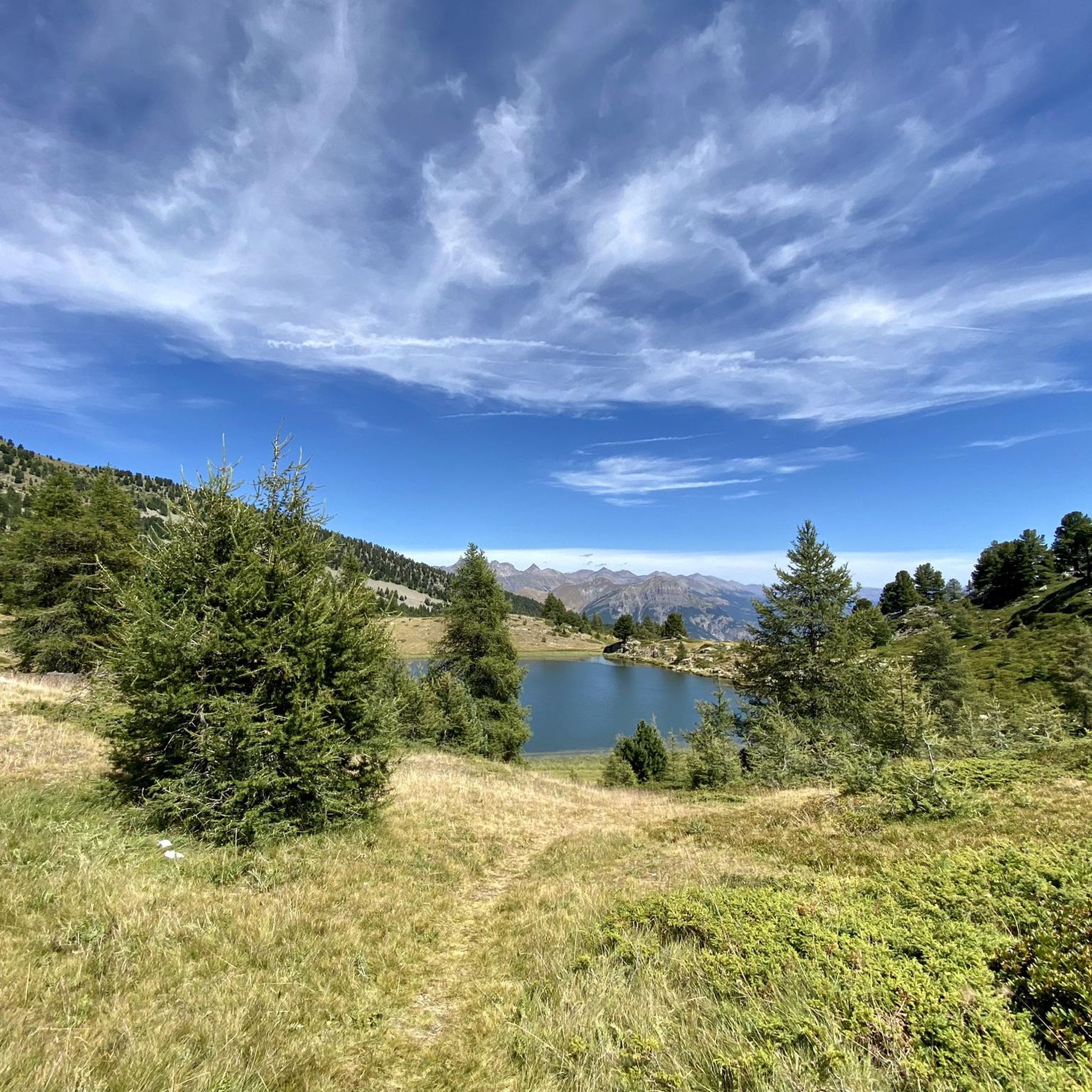
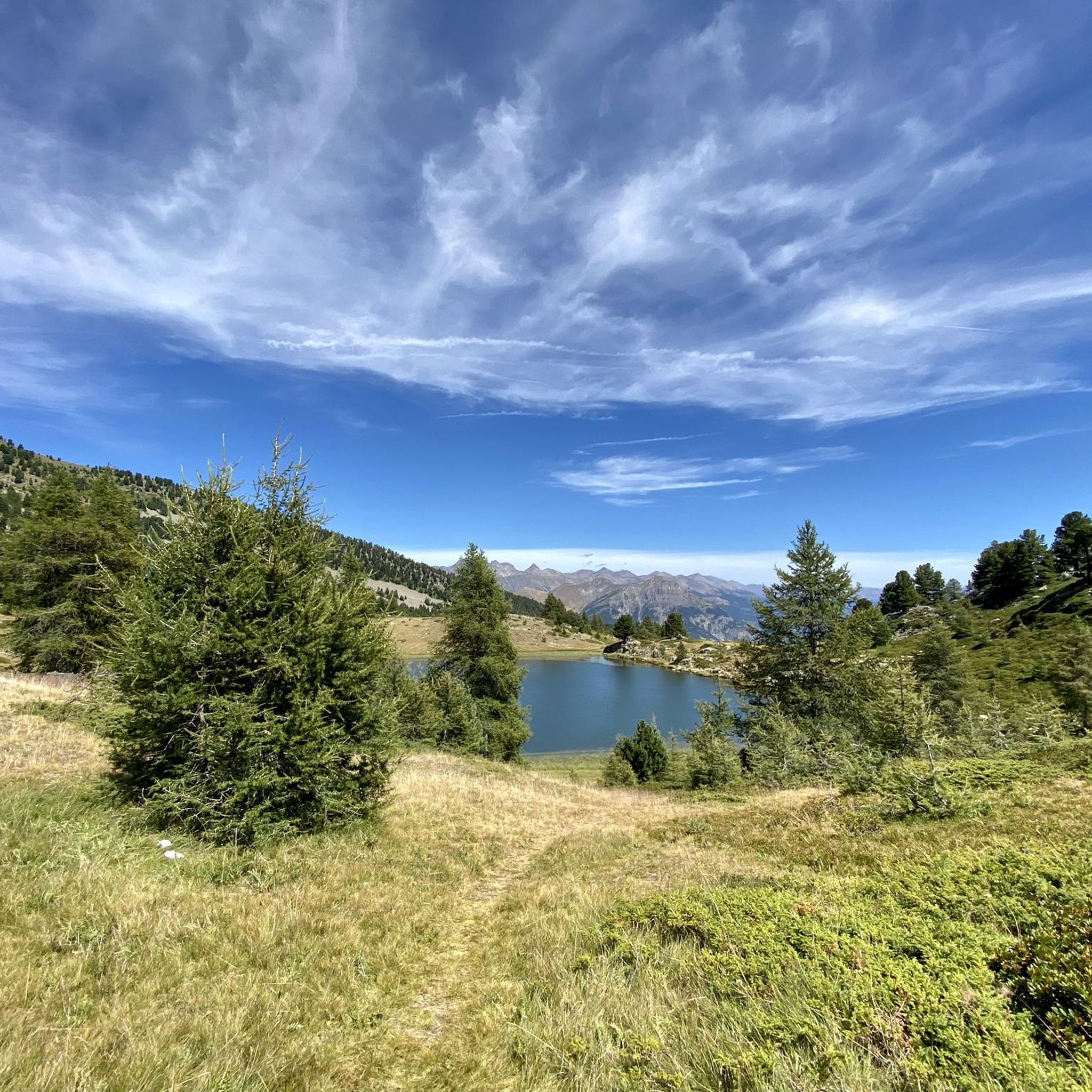
Completely false description, probably a mistake in location. We are here in the Alpes de Haute Provence. Larches and stone pines, but no umbrella pines. But above all, it is strictly forbidden to swim in the Col Bas lakes (see Prefectural Biotope Protection Order) and also prohibited from leaving mountain bike trails or marked trails.
1
0

A climb with gentle slopes.
14
0
Small town, here you can refill your water bottles.
14
0

Magnificent viewpoint over Lake Serre Poncon and the entire valley at 360°
4
0

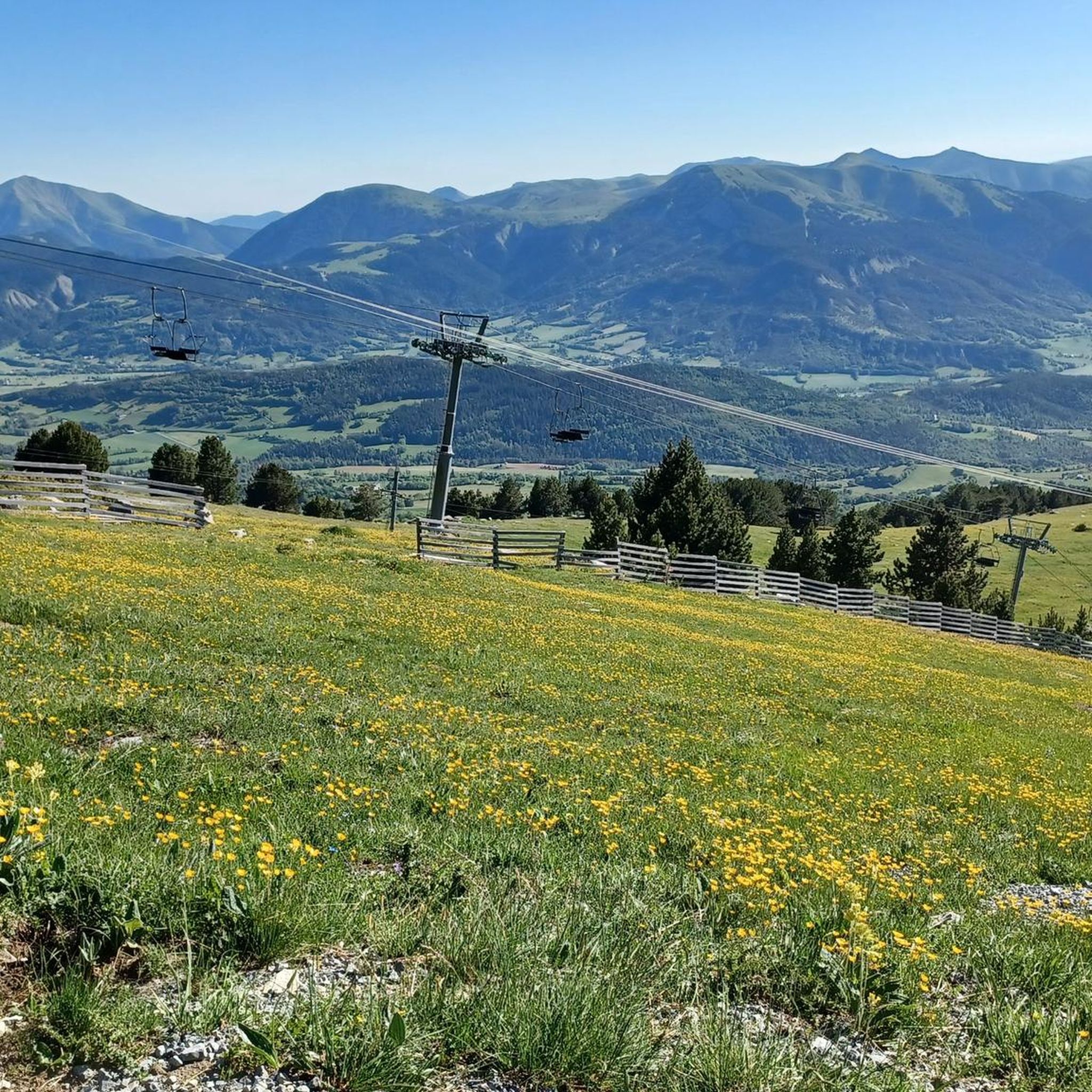
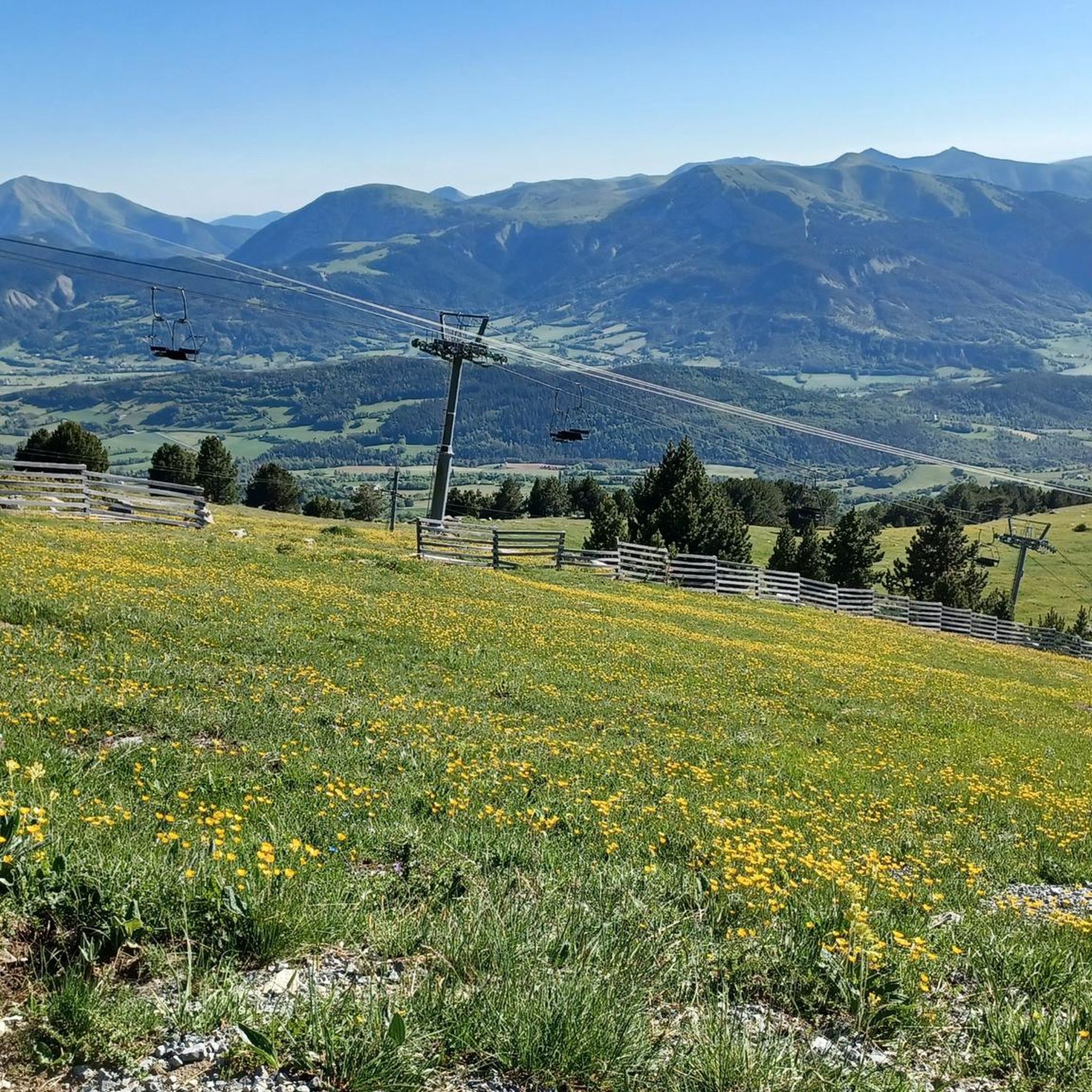
This village is located in the heart of the Blanche valley. Initially focused on agriculture, it moved towards tourism. Its ski resort is as pleasant in summer as in winter. Land of nature, its deep forest and pastures shelter exceptional fauna and flora. Which means it is placed under Natura 2000 protection.
1
0
Nestled between the Tête du Vallon du Loup and the Savernes peak, the Col Bas culminates at an altitude of 2,115 meters. It opens the way to the lakes of the same name located a little further below.
1
0
Built in 1862, the so-called “Bas Col” battery was part of the defense system of the Southern Alps against neighboring Italy. Culminating at 2,505 meters, it monitored the Ubaye valley and the passage of the pass while serving as a relay for an optical transmission chain linking Grenoble to Toulon. The bends of the track provided for its access are so steep that at each turn it was necessary to unharness the horses, turn the hand cannons and re-harness!
4
0

The Col Bas from La Ferrière is a climb in the Alpes-Maritimes region. It has a length of 1.7 kilometers and an ascent of 124 vertical meters with an average gradient of 7.2%, which implies a difficulty level of 110. The top of the ascent is located at 1,199 meters above sea level. A beautiful and hard climb to Col Bas, in which we cross a beautiful forest of larch and stone pines. The landscapes are incredible and you will have time to take a dip in one of the lakes higher up. The climb can be a bit steep but it is worth it for the landscapes of exceptional plant and animal richness.
1
0
Mest populære attraksjoner rundt Montclar

Bli inspirert med komoot-appen


eller
Bli med i komoot nå
Utforsk mer
Se gjennom de beste Terrengsykkelstier i andre regioner.
