노스요크셔 최고의 러닝 경로
4.4
(549)
54,049
달리기 하는 사람
3,919
러닝
노스요크셔에서 하이킹하며 요크셔 앤 더 험버 구석 부분까지 살펴볼까요? 노스요크셔에 있는 모든 하이킹 및 워킹 경로 컬렉션 중 가장 멋진 하이킹 경로를 엄선하여 소개해드릴게요. 다른 하이커가 공유한 실제 팁과 사진을 살펴보고 후기를 읽으며 마음에 드는 노스요크셔 워킹 경로를 찾아보세요.
마지막 업데이트: 7월 7, 2026
4.4
(9)
1,776
달리기 하는 사람
40.6km
05:15
1,420m
1,410m
Embark on the Three Peaks Challenge in Yorkshire Dales National Park, a truly difficult jogging route that spans 25.2 miles (40.6 km) and climbs a significant 4649 feet (1417 metres) of elevation. This demanding journey, which you can aim to complete in around 5 hours and 14 minutes, takes you over the iconic peaks of Pen-y-ghent, Whernside, and Ingleborough. Expect varied and challenging terrain, from rough moorland to rocky scrambles on Pen-y-ghent, and steep descents from Whernside. Along the way, you'll be rewarded with magnificent panoramic views across the Dales, potentially seeing Morecambe Bay and the Lakeland hills on clear days, with the impressive Ribblehead Viaduct as a notable landmark. The route offers a rigorous test of endurance and sure-footedness over its diverse surfaces.
To successfully jog the Three Peaks Challenge, you will need very good fitness and significant training, including long runs with steep hills. The route is seriously tough, so prepare for substantial climbing and often steep descents over uneven ground. Given the likelihood of damp and muddy conditions across the moorland sections, especially on Pen-y-ghent's rocky terrain and Whernside's long ridge, waterproof footwear is highly recommended. This challenge is typically undertaken within 12 hours, even for hikers, so your jogging pace will require excellent physical condition and careful navigation.
The Three Peaks Challenge is notable for its demanding goal of summiting all three iconic peaks within a single effort, making it a popular choice for individuals and groups, often undertaken for charity. The route traverses a designated National Park, showcasing the stunning natural beauty and unique geological landscape of the Yorkshire Dales, shaped by Carboniferous limestone and glacial activity. Each peak, Pen-y-ghent, Whernside, and Ingleborough, offers its own distinctive character and views, contributing to the historical and geological intrigue of this renowned endurance test.
4.0
(2)
658
달리기 하는 사람
5.54km
00:36
50m
60m
보통 조깅. 좋은 체력 필요. 대부분 포장된 지면. 실력과 관계없이 누구나 갈 수 있음.

무료 회원 가입
5.0
(8)
303
달리기 하는 사람
10.7km
01:19
450m
450m
Prepare for a difficult jogging challenge on the Three Peaks Walk to Pen-y-ghent, a route that covers 6.6 miles (10.7 km) with a significant elevation gain of 1486 feet (453 metres). You can expect to complete this in about 1 hour and 19 minutes. As you ascend, you will be treated to panoramic views across the stunning Yorkshire Dales National Park. Keep an eye out for the distinctive 'lion-shaped' profile of Pen-y-ghent itself, a prominent landmark in the area. From the summit, you might even glimpse other famous peaks like Ingleborough and Whernside, and on exceptionally clear days, the distant Lake District.
Before you set out, be aware that the trail can become quite boggy, especially after rain. The scramble near the summit demands extra caution when conditions are wet or icy, so always check the weather forecast beforehand. Horton-in-Ribblesdale serves as a popular starting point for this circular route, offering convenient amenities such as parking and cafes to help you prepare for your journey. Planning your visit around drier weather will enhance your experience on the exposed sections of the path.
This trail is notable for its unique geological features, including Hull Pot, which is reputed to be the largest natural hole in England. The distinctive tiered shape of Pen-y-ghent makes it a recognizable and iconic peak within the Yorkshire Dales. This route offers a rewarding experience for those seeking a challenging jog through a landscape rich in natural beauty and geological interest.
5.0
(2)
170
달리기 하는 사람
18.4km
02:11
490m
490m
The Simon's Seat & River Wharfe loop from Bolton Abbey is a difficult jogging route, spanning 11.4 miles (18.4 km) with a substantial 1598 feet (487 metres) of elevation gain. Expect to complete this challenging trail in about 2 hours and 10 minutes, requiring a very good fitness level. You will traverse diverse terrain, from well-maintained paths along the River Wharfe to rugged moorland with rocky tracks and potentially boggy sections. The highlight is the climb to Simon's Seat, a cluster of massive gritstone rocks offering panoramic views across the Yorkshire Dales and Wharfedale. Along the way, you'll experience a landscape of contrasts, including the distinctive Valley of Desolation with its waterfall.
This trail begins at Bolton Abbey, a historic estate that serves as an excellent starting point for your adventure. While the research does not specify parking details or public transport options, starting from a well-known location like Bolton Abbey often implies accessible facilities. Be prepared for varied conditions, as the terrain includes paved paths, unpaved sections, gravel, and natural surfaces. Given the significant elevation and rugged sections, especially on the moorland, it's wise to check weather conditions before you go, as boggy areas can be more challenging after rain.
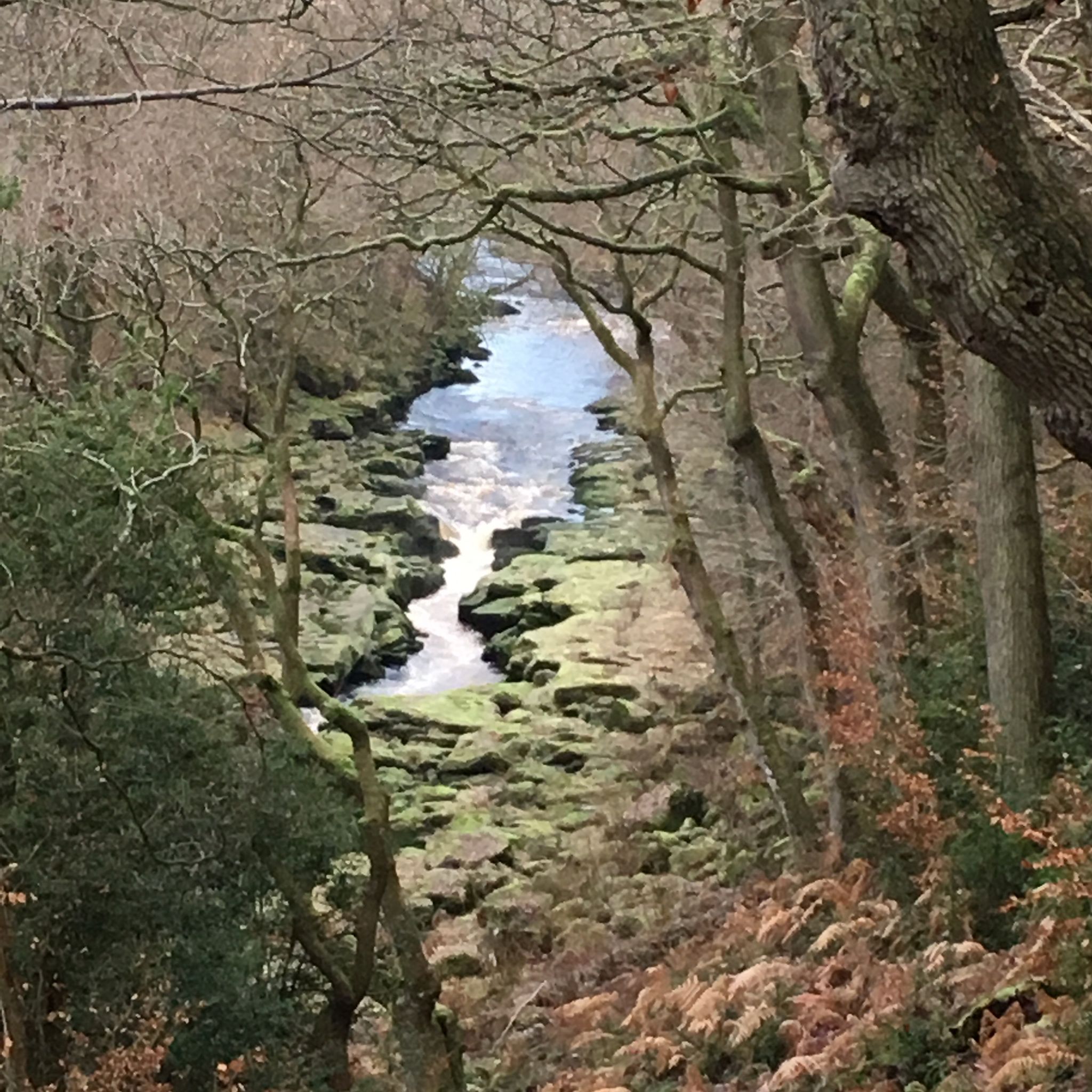
What makes this route particularly notable is its blend of natural phenomena and historical surroundings. You'll encounter The Strid, a dramatic narrowing of the River Wharfe where the water is forced through rocks, creating a powerful and visually striking flow. While beautiful, The Strid is notoriously dangerous due to strong undercurrents, so always stay well back from the edge. The trail also allows you to experience the natural beauty of the Bolton Abbey Estate, providing a rich context to your challenging jog through the Yorkshire Dales National Park.
4.6
(10)
97
달리기 하는 사람
9.78km
01:09
120m
120m
보통 조깅. 좋은 체력 필요. 대부분 포장된 지면. 실력과 관계없이 누구나 갈 수 있음.
3.0
(1)
122
달리기 하는 사람
20.7km
02:23
260m
250m
Embark on a challenging jogging adventure with the Whitby & Robin Hood's Bay loop, covering 12.9 miles (20.7 km) and gaining 839 feet (256 metres) in elevation. This route offers a dynamic experience, blending the rugged coastal path with the smoother, tree-lined Cinder Track. You will jog past the historic Whitby Abbey perched on the cliffs and through the charming, cobbled streets of Robin Hood's Bay, all within an estimated 2 hours and 23 minutes.
Planning your visit requires acknowledging the route's difficult grading, primarily due to the coastal sections. Be prepared for uneven ground, craggy steps, and potentially slippery surfaces, especially after rain. While the Cinder Track provides an easier jogging surface, keep an eye out for occasional potholes and areas with poor drainage. Proper footwear and awareness of conditions are essential for an enjoyable run.
This loop is notable for its striking contrasts in scenery and terrain, showcasing the dramatic North Sea views alongside the tranquil Esk Valley. The Cinder Track, a former railway line, offers a unique historical element, including majestic views from the iconic Larpool Viaduct. It's a fantastic way to experience the diverse landscapes and rich heritage of the North York Moors National Park.
5.0
(3)
72
달리기 하는 사람
11.6km
01:30
210m
210m
Embark on a challenging jogging route through the heart of the Yorkshire Dales National Park. This 7.2-mile (11.6 km) circular trail takes you past the dramatic limestone cliffs of Gordale Scar, where you will encounter towering rock formations and waterfalls. You will gain 694 feet (212 metres) in elevation, making it a difficult route that typically takes around 1 hour and 29 minutes to complete. The varied terrain includes rocky paths and sections that can be muddy, offering a true test for experienced trail runners.
When planning your visit, be aware that the ascent through Gordale Scar involves a scramble up steep, water-worn rock. This section can be very slippery, especially after rain, so you will need good fitness, sure-footedness, and sturdy shoes. If you prefer to avoid this scramble, an alternative route is available. The limestone pavement at Malham Cove also requires careful footing due to its uneven surface and deep fissures, so watch your step as you enjoy the views.
This route offers a diverse journey through iconic landscapes, showcasing the unique geology of the Dales. Beyond Gordale Scar, you will reach the peaceful Malham Tarn, an upland lake providing serene views before heading towards the impressive Malham Cove. This curved limestone formation features a distinctive pavement at its summit, offering expansive vistas across the surrounding countryside. It is a rewarding experience for anyone seeking a demanding outdoor adventure.
56
달리기 하는 사람
11.2km
01:26
330m
330m
Embark on a difficult jogging adventure through the North York Moors National Park, tackling the Captain Cook's Monument & Roseberry Topping loop from Great Ayton. This challenging route spans 7.0 miles (11.2 km) and features a significant 1081 feet (330 metres) of elevation gain. You will experience diverse landscapes, from ancient woodlands to expansive open moorland. The distinctive Roseberry Topping, often called "Yorkshire's Matterhorn," offers panoramic 360-degree views from its summit. Expect varied terrain, including steep climbs and descents, which contribute to the estimated 1 hour and 25 minutes duration.
Before you set out on this difficult jogging route, ensure you are well-prepared. Good fitness levels are essential, and proper footwear is highly recommended due to the steep sections and uneven surfaces you will encounter. Parking is generally available in Great Ayton, which serves as a convenient starting point for the loop. Always consider checking local weather forecasts for the Roseberry Topping area before you go, as conditions on the moors can change quickly.
This route is notable for combining two iconic landmarks of the North York Moors. Beyond the panoramic views from Roseberry Topping, you will also encounter Captain Cook's Monument on Easby Moor. This monument provides superb vistas across the Cleveland Hills and down into Great Ayton, offering a different perspective of the surrounding landscape. The trail's varied terrain and significant elevation make it a rewarding challenge for experienced joggers.
44
달리기 하는 사람
10.3km
01:07
140m
150m
This moderate 6.4-mile (10.3 km) jogging loop from Ravenscar offers a varied experience, taking about 1 hour and 6 minutes to complete with 465 feet (142 metres) of elevation gain. You will jog along the historic Cinder Track, a former railway line, which provides fantastic coastal views and glimpses of heather-clad hillsides. The route also incorporates sections of the Cleveland Way, a clifftop path with panoramic vistas across Robin Hood's Bay and out to the North Sea. Expect a mix of surfaces, from well-surfaced track to gravel, dirt roads, and some potentially bumpy or muddy sections, especially on the final ascent to Ravenscar. You will pass through woodlands and moorland, enjoying diverse scenery throughout your run.
While the Cinder Track itself is generally flat, the inclusion of the Cleveland Way introduces more challenging elements, with some steep up and down sections. Some paths connecting the Cinder Track and the coast can be very boggy, so good boots are recommended, especially after rain. The trail can become muddy and rough in winter or after significant rainfall, so plan your visit accordingly. Be prepared for varied terrain that can be rougher in places, requiring careful footing.
This route is rich in history, featuring the well-preserved Ravenscar Radar Station, a significant World War II Chain Home Low site built in 1941. You can explore the remains of several brick buildings, including a transmitter/receiver block and engine house. Ravenscar itself is known as "the town that never was," a fascinating example of a Victorian resort that never fully materialized. The Cinder Track also showcases remnants of its railway past, such as old stations and bridges, adding to the unique character of your jog.
5.0
(1)
26
달리기 하는 사람
8.92km
00:58
110m
110m
Embark on the Fountains Abbey & Studley Royal Park loop, a moderate jogging route that blends history with natural beauty. This 5.5-mile (8.9 km) trail, which you can complete in about 58 minutes, guides you through a UNESCO World Heritage Site with 361 feet (110 metres) of elevation gain. You'll jog past the dramatic ruins of Fountains Abbey, explore the elegant Georgian Studley Royal Water Garden with its ornamental lakes and cascades, and traverse a medieval deer park home to red, fallow, and sika deer. Look out for panoramic views from elevated sections like the High Ride Pathway. The terrain varies from well-maintained paths and gravel tracks to some rugged bits with rocks and dirt paths, especially in areas like the Seven Bridges Valley.
While much of the route is well-surfaced, be prepared for varied conditions. Some sections are mostly paved, making them suitable for many skill levels, but other parts can become muddy in inclement weather. Sensible footwear is highly recommended to ensure a comfortable experience, especially if you plan to jog through the more natural sections. The trail offers a mix of easy stretches and a few moderate hills, so a good level of fitness will help you enjoy the jogging experience fully.
This loop offers a unique journey through different historical periods, showcasing medieval strength alongside 18th-century eccentricity. The site is recognized for its outstanding universal value, seamlessly blending the 12th-century Cistercian abbey remains with an exquisite 18th-century landscape design. You'll discover the Jacobean Fountains Hall and the Victorian St Mary's Church, all integrated into a landscape that masterfully uses the River Skell and
더 다양한 경로와 다른 탐험가들의 추천을 살펴보세요.
무료 회원 가입
이미 komoot 계정이 있나요?
투어 추천은 다른 사람들이 komoot에서 완료한 수천 개의 활동을 바탕으로 구성되어 있습니다.
오늘 무료 계정으로 시작하세요
다음 모험이 기다리고 있어요.
로그인 또는 가입하기
노스요크셔의 다른 모험


커뮤니티 팁

요크셔 3 피크스의 일부이며 멋진 전망을 제공합니다. 정상까지 오르는 것이 약간의 암벽 등반이 될 수 있지만 그럴 만한 가치가 있습니다.
0
0
로빈 후즈 베이(Robin Hood's Bay)를 내려다보는 멋진 풍경
0
0
좋았던 옛날 영국 날씨가 찾아와서 안개 때문에 아무것도 볼 수 없었습니다
0
0

Until 1912, Roseberry Topping had a smooth, sugarloaf‑like peak. A geological fault combined with underground mining caused a massive collapse, giving the summit its modern jagged profile. The climb up from the car park is steep and can be very busy, even before sunrise in winter where you can see a small procession of torches slowly ascending.
1
0
Great views and early on a Sunday morning is best to beat the crowds. The obelisk is hollow and originally had a doorway you could walk through, before it was sealed during a 19th‑century restoration. A lightning strike in 1960 almost split the monument down the middle after the lightning conductor installed in 1895 rusted away. Earlier lightning strikes in the 19th century had already blown off the original doorway and obliterated the cast‑iron plaques. Fun fact - allegedly - the monument contains a hidden time capsule. When the foundation stone was laid in 1827, commemorative items were placed inside, including a portrait of Captain Cook and a glass plate etched with details of the event.
1
0

Directly in front of the monument, take a stroll about 30-50 paces and you will have some very decent views of the area!
0
0




찾고 계신 것을 찾지 못하셨나요?
노스요크셔에서 더 많은 러닝 트레일 & 경로를 확인하고 목적지에서 완벽한 경로를 찾아보세요.
더 살펴보기
다른 지역의 최고의 러닝 트레일 & 경로를 살펴보세요.
