Montaraの湖・トップ5
次の冒険でMontaraの素晴らしい湖を訪れてみませんか?湖畔の穏やかな雰囲気や、天気が良い日のひと泳ぎは格別です。komootコミュニティがおすすめするMontaraの素晴らしい湖の一覧を参考にして、次の冒険では湖をもっと満喫しましょう。
最終更新日: 7月 25, 2026
ロウアー・クリスタルスプリングス貯水池
ハイライト • 湖
役立つ情報 は

サンアンドレアス湖
ハイライト • 湖
役立つ情報 は

今すぐサインアップして、こんな場所を発見しよう
最高のシングルトラック、ピーク、その他のエキサイティングなアウトドアスポットのおすすめを受け取ろう。
無料新規登録
グレイホエールコーブ州立ビーチ
ハイライト • ビーチ
役立つ情報 は

ソーヤー・キャンプ・トレイル
ハイライト • トレイル
The 15-mile Crystal Springs Regional Trail is one of the best mostly paved bike trails with few cars in the Bay Area. It spans from San Bruno to …
役立つ情報 は
サンフランシスコ国際空港とウォーターフロントの眺め
ハイライト (セグメント) • 展望台
翻訳者 Google •
役立つ情報 は

無料アカウントで今日から始めよう
次の冒険が待っています。
ログインまたは登録
コミュニティからのヒント

Millbrae is located in San Mateo County, just south of San Francisco and right next to San Francisco International Airport (SFO). It's perfectly situated for travelers and commuters, with excellent connections via BART, Caltrain, and SamTrans.
2
0

San Andreas Lake is a hidden gem tucked into the hills of San Mateo County, just south of San Francisco. Originally a natural sag pond formed by the San Andreas Fault, it was transformed into a reservoir in the late 1800s and now serves as a vital water source for the region. The lake is off-limits for swimming or boating, but you can enjoy its peaceful beauty from the San Andreas Trail or the popular Sawyer Camp Trail, which runs along its eastern edge. It's a serene spot where you can walk or bike with sweeping views of the water and surrounding hills, all while standing right on one of the world’s most famous fault lines. Despite its proximity to urban life, San Andreas Lake offers a quiet, scenic escape steeped in natural and historical significance.
1
0

The Crystal Springs Regional Trail is a top spot for cyclists, featuring mostly paved paths with minimal car traffic. The trail runs through scenic areas like Lower Crystal Springs Reservoir, offering beautiful lake views. On Sundays, you can ride the car-free Cañada Road segment for a more relaxed experience. Be mindful of the 15 mph speed limit, especially around hikers. The Sawyer Camp segment provides a gentle descent and stunning views, perfect for an easy ride through woodlands and along the reservoir.
0
1

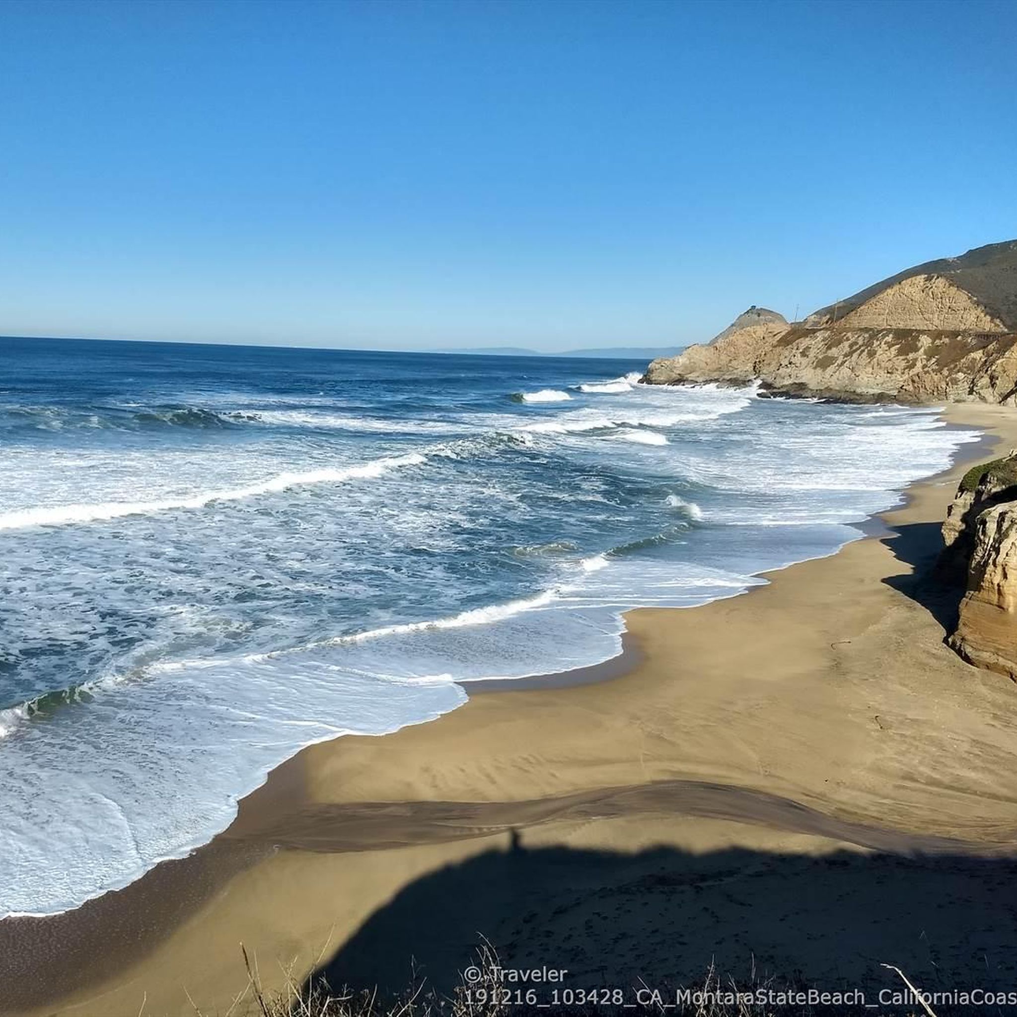
Gray Whale Cove State Beach is a beautiful, secluded beach located nine miles north of Highway 92 along Highway 1. This 800-foot stretch of white sand is nestled in a small valley known as "Devil's Slide" and is shielded from the highway by cliffs. The beach is named for the gray whales often spotted here during their spring migration. Facilities include free day parking, chemical toilets, but no water, so keep this in mind as you ride.
0
0

This is of the most beautiful beaches in Northern California. The views are stunning, making it an excellent place to have lunch on the beach and take memorable photos.
0
1


Great amount of wild flowers and amazing visas of the ocean. Spotted a whale.
1
1

very nice beach. invites you to linger.
2
2
around Montaraの人気観光スポット

komootモバイルアプリでインスピレーションを得よう


さらに探索
まだ完璧な湖が見つかりませんかaround Montara?これらの地域のガイドをチェックして、さらに美しい場所を見てみましょう。
