Upper Cwmbranのおすすめランニングルート
4.6
(61)
7,974
ランナー
372
ランニング
Upper Cwmbranでランニングを楽しめば、このエリアをより深く知ることができます。ランニングに適した美しいルートが見つかるように、komootがUpper Cwmbranでのルートのコレクション全体を評価して選び抜いた、人気ランニングトレイルをご紹介します。ルートをクリックして詳細を表示し、他のユーザーがアップロードした役立つ情報や写真を閲覧しましょう。
最終更新日: 8月 2, 2026
25
ランナー
23.4km
03:03
540m
540m
難しいジョギング. 標準以上のフィットネスレベルが必要です。 全般的に舗装された状態です。あらゆるスキルレベルに適しています。
21
ランナー
8.21km
00:51
60m
60m
中程度のジョギング. ある程度のフィットネスレベルが必要です。 全般的に舗装された状態です。あらゆるスキルレベルに適しています。

無料新規登録
18
ランナー
6.54km
00:41
40m
40m
中程度のジョギング. ある程度のフィットネスレベルが必要です。 全般的に舗装された状態です。あらゆるスキルレベルに適しています。
15
ランナー
5.64km
00:40
120m
120m
中程度のジョギング. ある程度のフィットネスレベルが必要です。 全般的に舗装された状態です。あらゆるスキルレベルに適しています。
15
ランナー
7.23km
00:53
170m
170m
中程度のジョギング. ある程度のフィットネスレベルが必要です。 全般的に舗装された状態です。あらゆるスキルレベルに適しています。
さらに多くのルートや他のユーザーのおすすめ情報を確認できます。
無料新規登録
すでにアカウントをお持ちですか?
おすすめのツアーは他のkomootユーザーが実際に経験した何千ものアクティビティに基づいています。
無料アカウントで今日から始めよう
次の冒険が待っています。
ログインまたは登録

コミュニティからのヒント

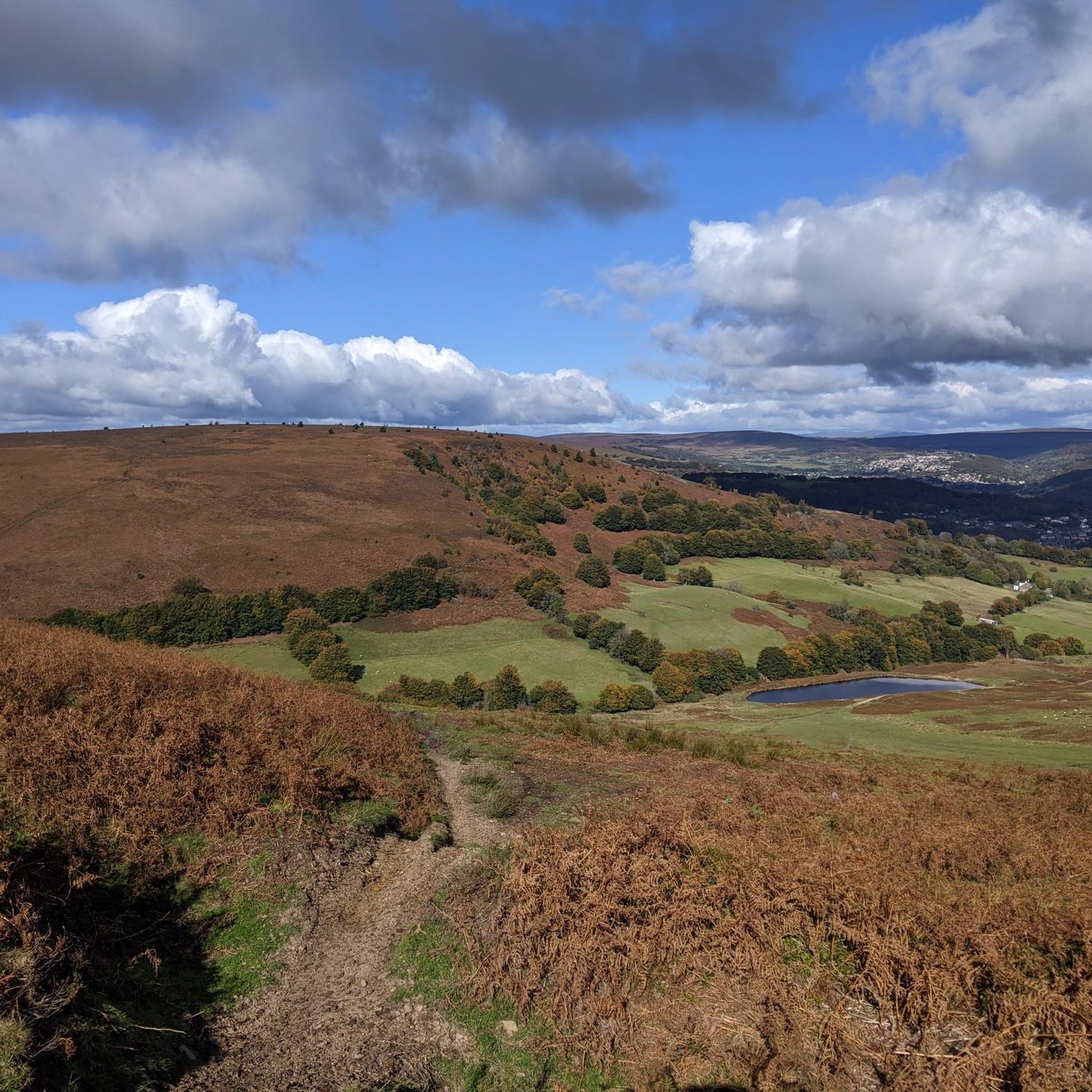
Take the longer way. Route is blocked by carpark
0
0

Twmbarlwm is a prominent hill and archaeological site located near the town of Cwmcarn in South Wales. It is part of the Caerphilly County Borough and is known for both its natural beauty and historical significance. Here are some key points about Twmbarlwm: Key Features: Hillfort: Twmbarlwm is home to the remains of an ancient hillfort, dating back to the Iron Age. The fortifications, which include earthworks and ramparts, suggest it was a significant settlement during that period. Celtic Connections: The name "Twmbarlwm" is thought to derive from Welsh, with "Twm" being a diminutive of "Tudur" and "barlwm" referring to a mound or hill. The site is associated with Celtic history and mythology. Natural Beauty: The hill offers stunning views of the surrounding landscape, including the nearby valleys and mountains. It is a popular destination for walkers, hikers, and outdoor enthusiasts. Archaeological Significance: Twmbarlwm has been the subject of various archaeological studies, which have revealed insights into ancient settlement patterns, defensive strategies, and daily life in prehistoric Wales. Access: The hill is accessible via footpaths, making it a popular spot for local residents and visitors. There are several trails that lead to the summit, offering a rewarding hike. Cultural Heritage: The site is connected to local folklore and legends, contributing to its cultural significance in the region. Visiting: If you plan to visit Twmbarlwm, it’s a good idea to check local resources or hiking guides for specific trails and information about the area. The site is a great way to experience the natural beauty and historical richness of South Wales.
1
0

A small summit above Risca. Known locally as the "Twmp" (the hump), the pimple or the nipple, due to the shape of the mound on the summit.
1
0

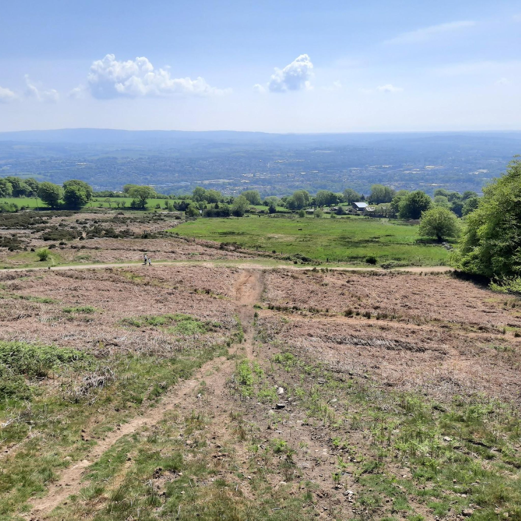
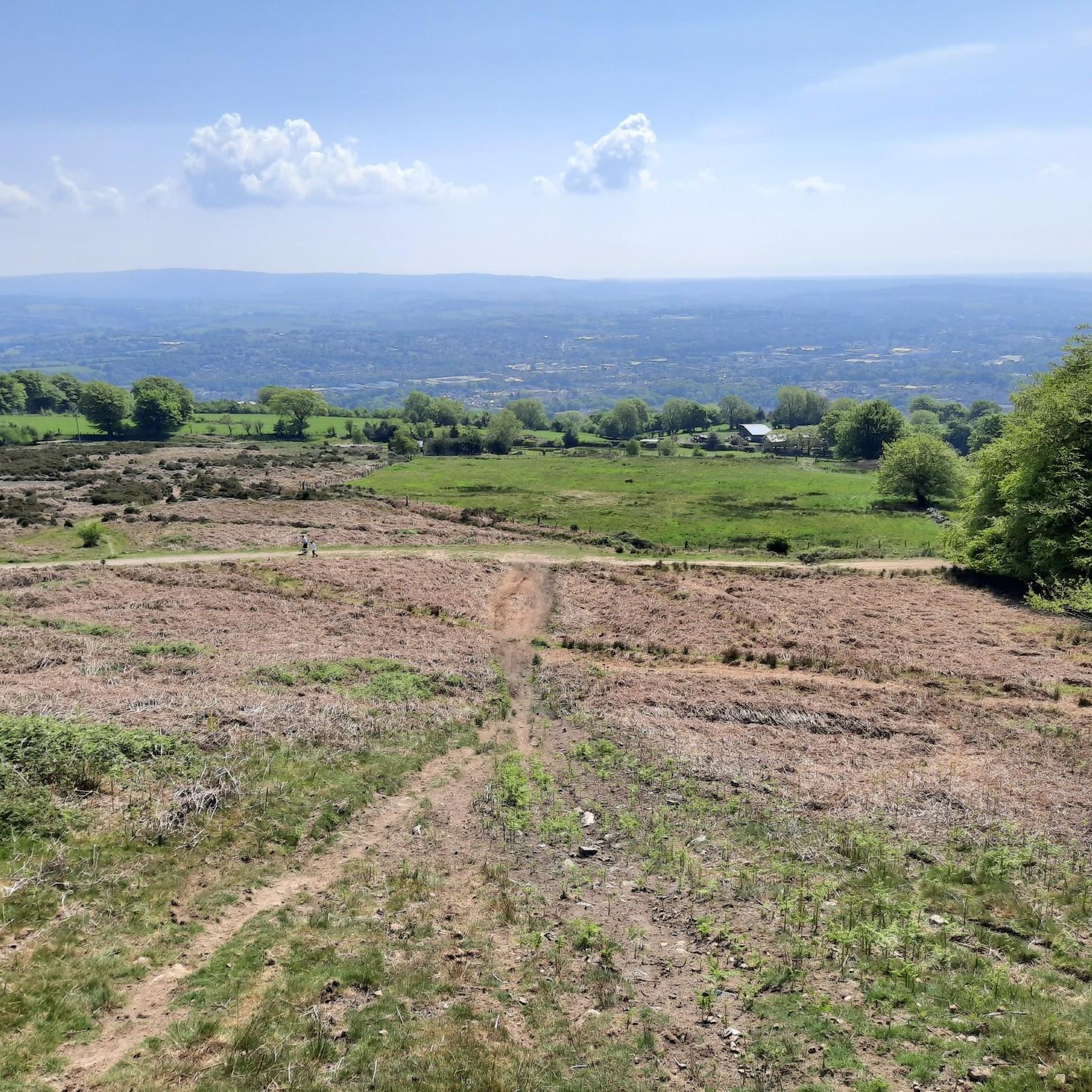
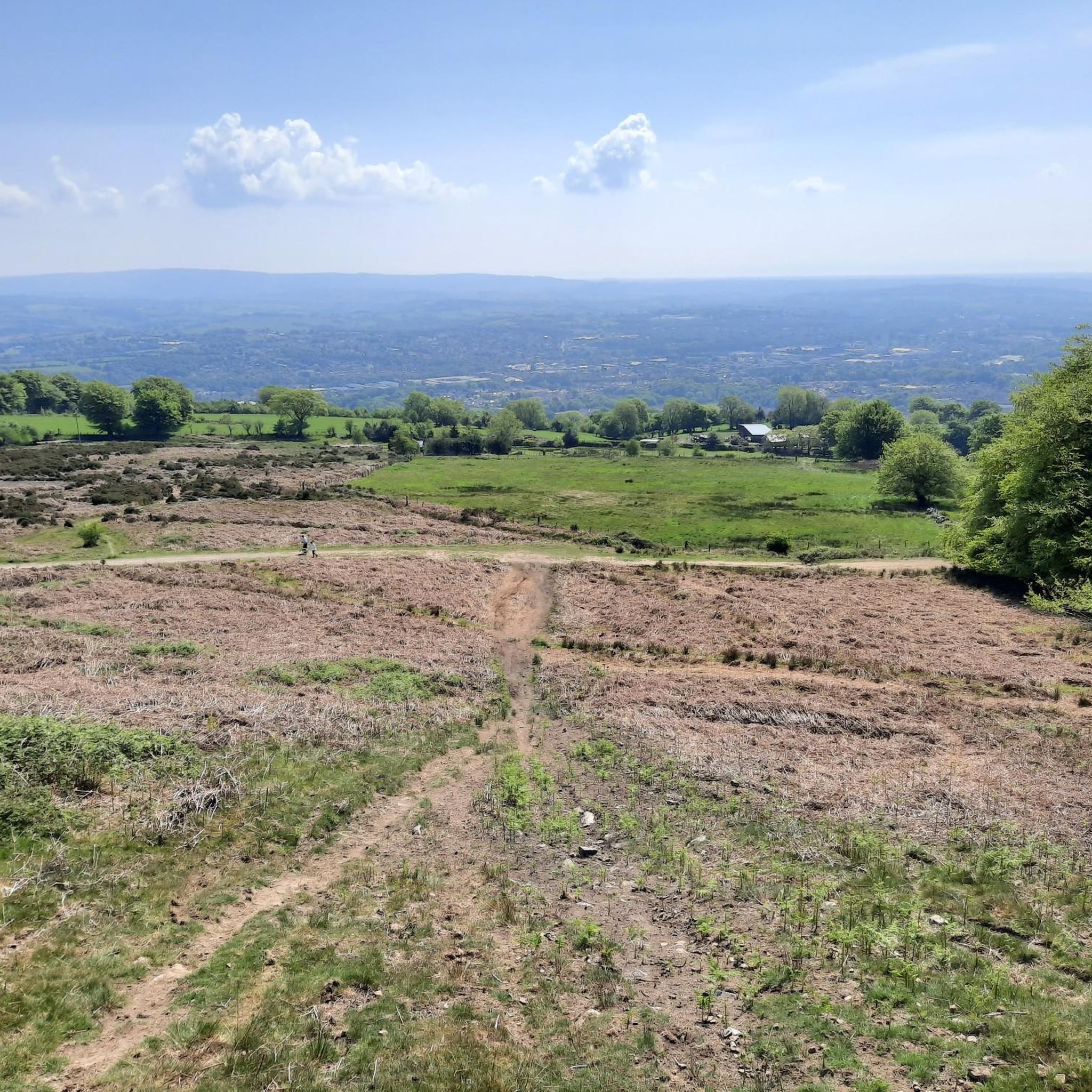
This section is absolutely brutal on the gravel bike in winter!
0
0

Blaen Bran is managed and cared for by an active community woodlands trust. Felling is planned for Jan and Feb 2023 which will lead to access restrictions at times. If you wish to double-check access before heading off contact: enquiries@blaenbran.wales
1
0


The Mill is one of the few surviving triple stone water mills left in the country. The 17th century mill, cared for by The Friends of Llanyrafon Mill, houses many historical artefacts from the area.
1
0
Upper Cwmbranの人気観光スポット

komootモバイルアプリでインスピレーションを得よう


さらに探索
他の地域の最高のランニングトレイル & ルートを見てみましょう。
