Ulghamのおすすめウォーキング&ハイキングルート
4.3
(329)
2,912
ハイカー
166
ハイキング
Ulgham 周辺でおすすめのハイキングやウォーキングを楽しんでいただけるように、このエリアの小径やルートを集めたkomootコレクション全体を見直しました。 以下で各ルートの詳細をご覧になり、Ulgham周辺の大自然を満喫する際の参考にしてください。
最終更新日: 7月 9, 2026
4.4
(58)
197
ハイカー
13.3km
03:29
100m
100m
中程度のハイキング. ある程度のフィットネスレベルが必要です。 進みやすいルートです。あらゆるスキルレベルに適しています。
3.6
(7)
27
ハイカー
7.96km
02:05
60m
60m
中程度のハイキング. ある程度のフィットネスレベルが必要です。 進みやすいルートです。あらゆるスキルレベルに適しています。

無料新規登録
4.2
(6)
25
ハイカー
中程度のハイキング. ある程度のフィットネスレベルが必要です。 進みやすいルートです。あらゆるスキルレベルに適しています。
5.0
(3)
25
ハイカー
15.6km
04:00
60m
60m
中程度のハイキング. ある程度のフィットネスレベルが必要です。 進みやすいルートです。あらゆるスキルレベルに適しています。
4.2
(6)
18
ハイカー
5.90km
01:32
30m
30m
初級者向けハイキング. あらゆるフィットネスレベルに適しています。 進みやすいルートです。あらゆるスキルレベルに適しています。
さらに多くのルートや他のユーザーのおすすめ情報を確認できます。
無料新規登録
すでにアカウントをお持ちですか?
おすすめのツアーは他のkomootユーザーが実際に経験した何千ものアクティビティに基づいています。
無料アカウントで今日から始めよう
次の冒険が待っています。
ログインまたは登録
コミュニティからのヒント

The Bothal Viaduct, also known as Pegswood Viaduct, is one of two railway bridges over the Wansbeck. It was built between 1849 and 1850 to replace the original timber trestle bridge. The footpath passes right under the bridge, allowing you to admire the impressive structure from every angle.
2
0
The shield is part of the remains of a 14th-century chapel known as the Lady Chapel. It's believed to have been constructed by the 1st Baron Ogle Robert, the owner of Bothal Castle.
1
0
Great views along the coast from here. To the north, the horizon is dominated by Lynemouth power station. Just beyond you can make out Coquet Island. To the south, you can see St Bartholomew's Church. This is a great place for wildlife spotting. Keep an eye out for dolphins, whales, porpoises, seals and otters.
0
0

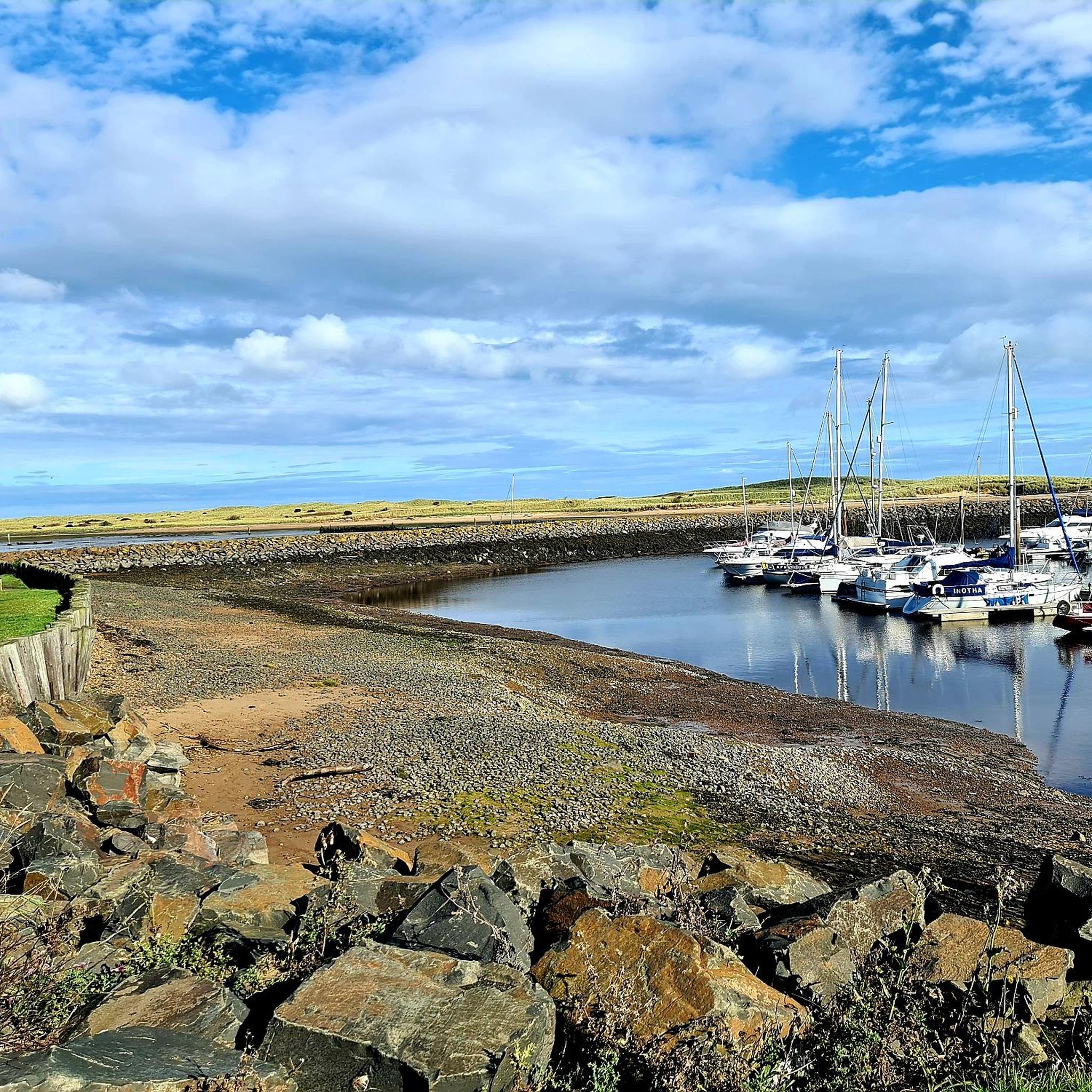
On March 9, 1874, James Brown and his sons were making their way back to Cresswell after a fishing excursion. With land in view, a severe squall overturned their coble, tragically claiming the lives of all four fishermen. In response to this devastating incident, a lifeboat house was constructed and inaugurated on August 21, 1875. Operating until its closure in 1944, the lifeboat house saw 58 launches, rescuing a total of 91 lives.
0
0
Very muddy after rain, the end as you come to Cresswell ponds floods and you may have to wade to get to the road.
0
0
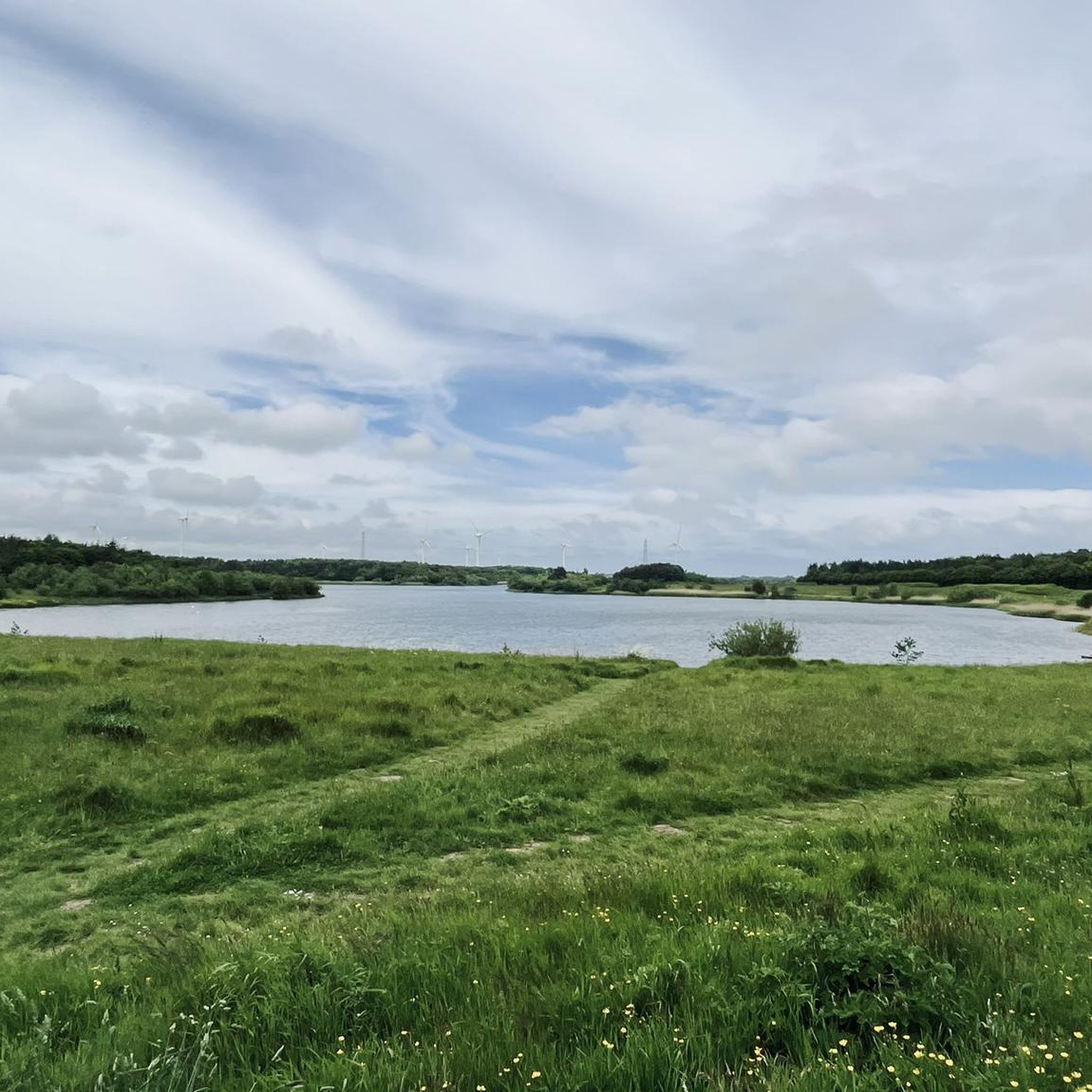
This pond was formed due to subsidence caused by the collapse of old mining works, resulting in a unique brackish water habitat that connects to the sea. This ecological feature makes it an ideal feeding ground for wading birds, particularly during the spring and autumn migrations when rare species are frequently spotted. Notably, avocets nested here in 2011, marking the northernmost location in the UK where they have done so. The pond also serves as a roosting spot for a substantial number of waterfowl, including greylag and pink-footed geese in small numbers.
0
0
Ulghamの人気観光スポット

komootモバイルアプリでインスピレーションを得よう


さらに探索
他の地域の最高のハイキングを見てみましょう。
