Rosedale West Side周辺のアトラクション&必見スポット - トップ20
Rosedale West Sideには必見のスポットがたくさんあります。ハイキング愛好家やサイクリング愛好家の方は、ぜひRosedale West Sideを探索してこのエリアにある20
の隠れたスポットを訪れてみてください。このエリアの必見スポットを確認し、次の冒険に出かける計画を立てましょう。
最終更新日: 7月 17, 2026
バンク・トップ製鉄炉
ハイライト • 歴史的な場所
役立つ情報 は

ウラ・ムーア ― ノース・ヨーク・ムーアズの最高地点
ハイライト (セグメント) • 山頂
Other than fellow walkers, there's a chance you'll bump into archaeologists up on the …
役立つ情報 は

今すぐサインアップして、こんな場所を発見しよう
最高のシングルトラック、ピーク、その他のエキサイティングなアウトドアスポットのおすすめを受け取ろう。
無料新規登録
ハットン=ル=ホールの村のグリーンと小川
ハイライト • 集落
役立つ情報 は

Dundale Griff
ハイライト • 展望台
役立つ情報 は

ラウンドヒル山頂(ウラ・ムーアの最高地点)
ハイライト • 山頂
役立つ情報 は
無料でサインアップして、さらに多くの観光スポットを発見しましょう Rosedale West Side。
無料新規登録
すでにアカウントをお持ちですか?
Rosedale West Sideの他の冒険

コミュニティからのヒント

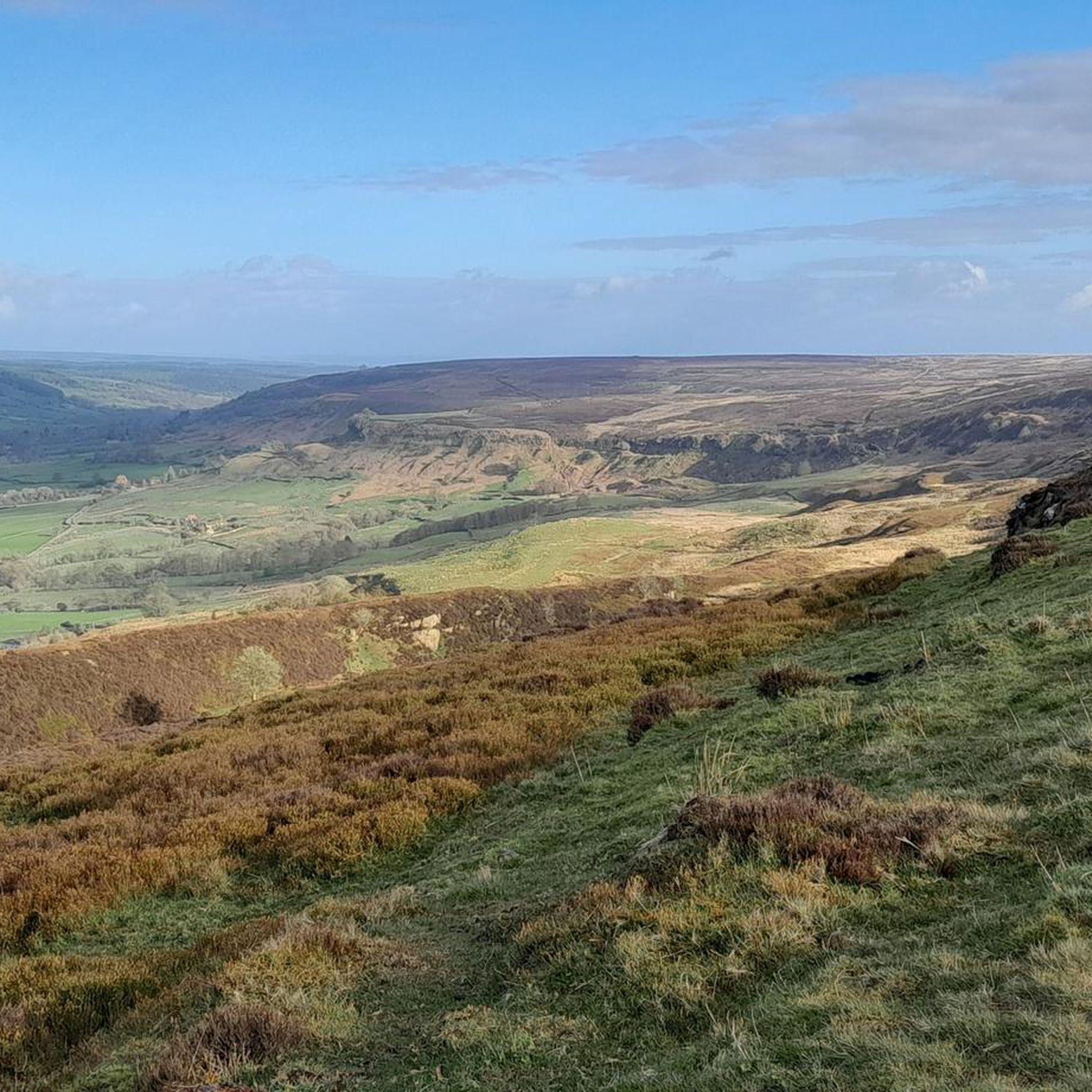
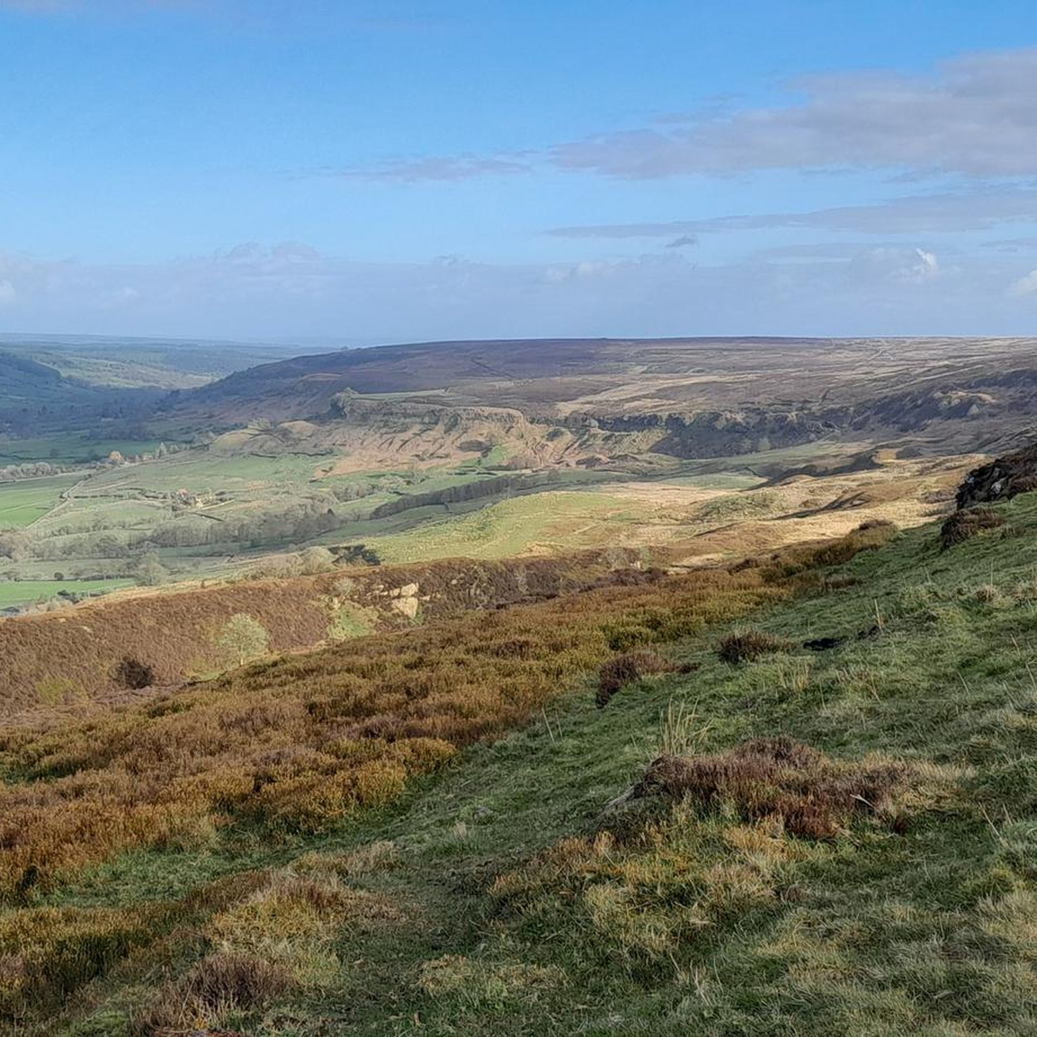
Dundale Griff is a delightful narrow side valley leading down from Dundale Pond to Levisham Beck. It's an area with significant historical traces, particularly relating to medieval times, when a monastic sheep farm (bercary) was established at the head of Dundale Griff, with the foundations of the stone buildings still visible today. Dundale Pond's history is linked to industrial water supply starting in the 19th century. William Kay, who owned a silk mill requiring substantial water, supplemented his supply by drawing water from a lake at Miswell Farm and connecting it to the hollow at Dundale via a tunnel. He is believed to have constructed a dam at Dundale to create the pond. Another tunnel then carried water from Dundale Pond to the mill. Both lakes were referred to as 'balancing ponds' to maintain consistent water levels. Look out for the herd of resident Highland Cows, actively breeding and very cute small calves can be seen in early summer.
0
0
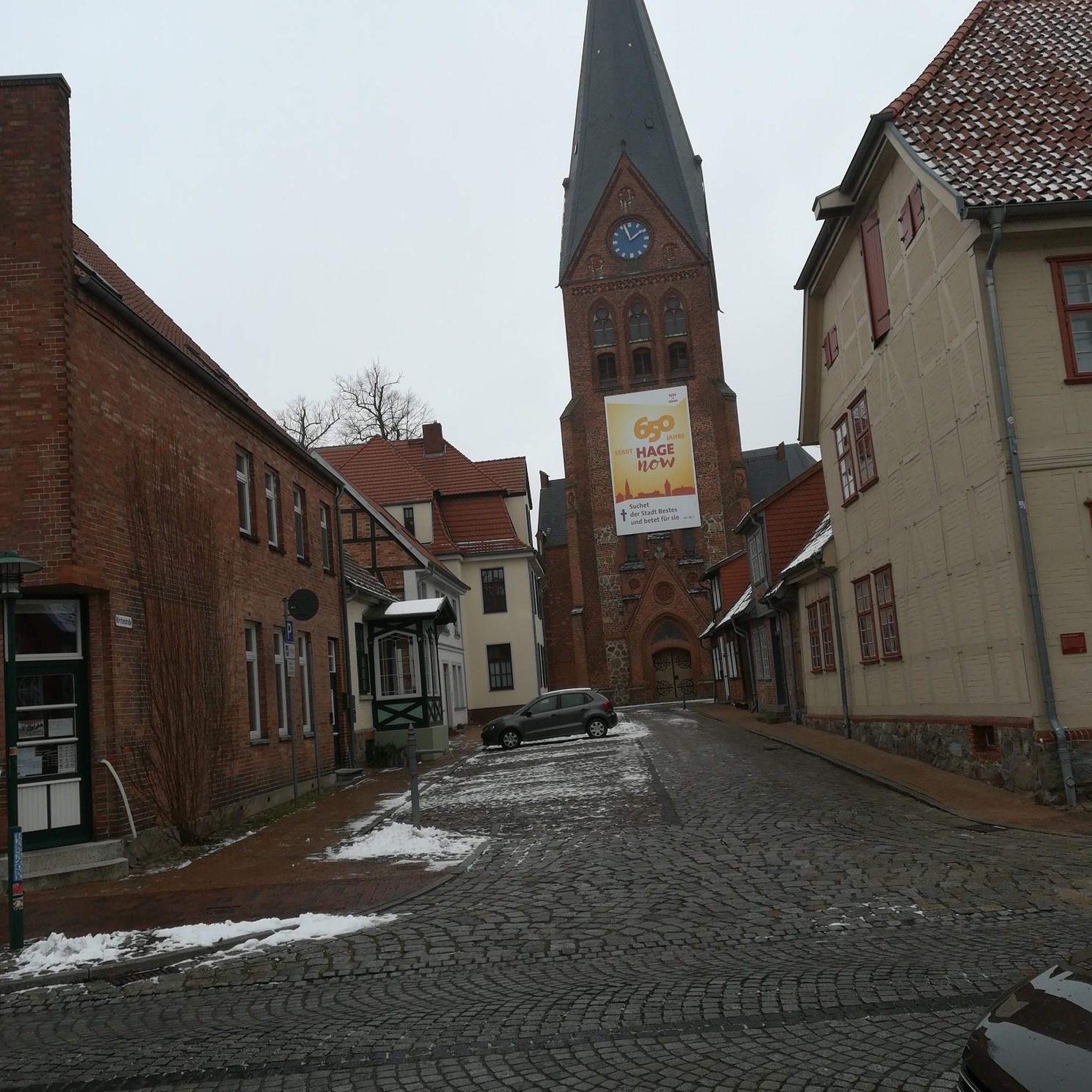
Apparently regarded by the Victorians as "ill-planned and untidy", but now quite possibly one the most picturesque Moors villages, Hutton-le-Hole is a very popular starting point for hikes. Fairly sizeable car park just on the eastern side of the village off the road to Lastingham. Lots more info available at https://en.wikipedia.org/wiki/Hutton-le-Hole, https://www.yorkshire.com/hutton-le-hole/?srsltid=AfmBOoqlQxZoMrKrxFTMhz3S7ZTijB3NKHNKMKO3WYru-vDGGmjNYk2Q, https://www.northyorkmoors.org.uk/places-to-go/hutton-le-hole-lastingham-appleton-le-moors
0
0
Just off the Cleveland Way and about halfway between Carr Ridge to the west and Bloworth Crossing to the east, spectacular views all around on a clear day.
1
0
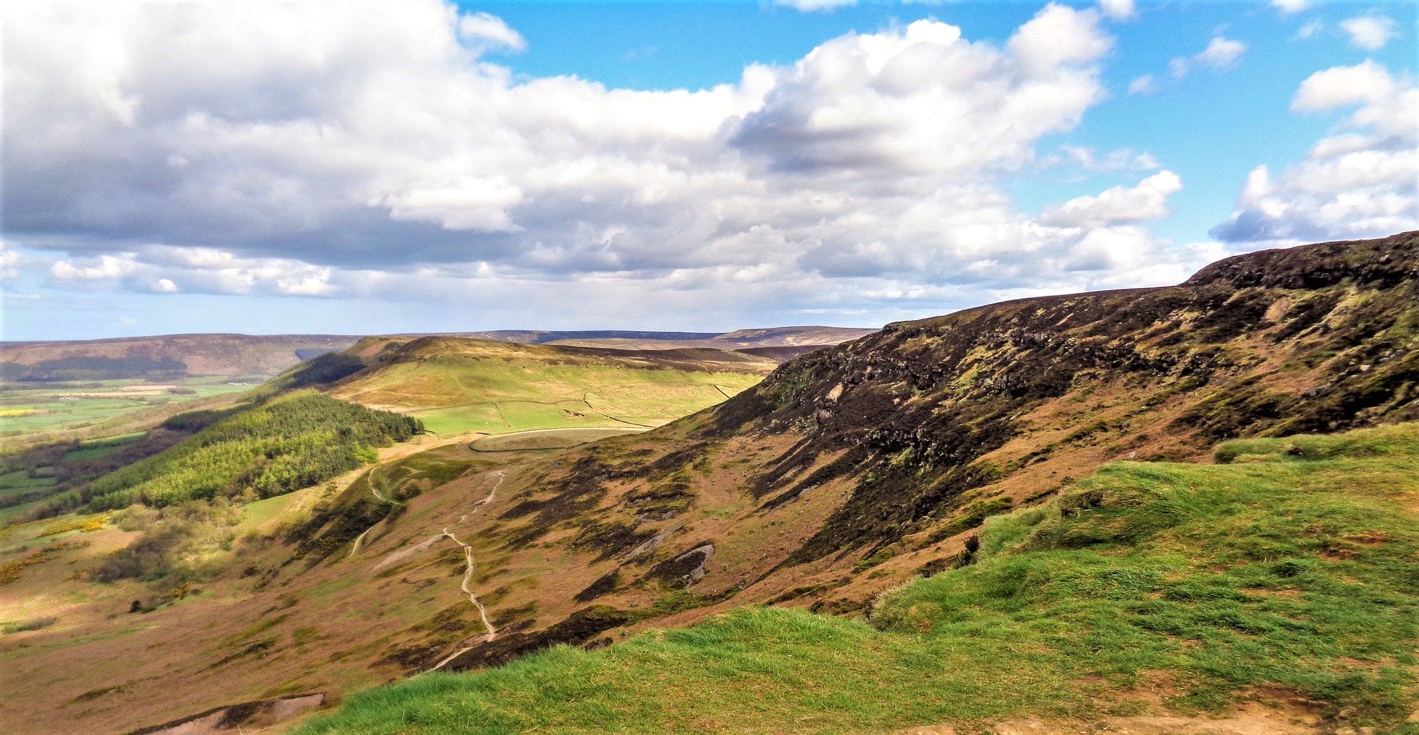
Urra Moor is fairly large and criss-crossed with several walking routes, some more popular than others. As a result, there are great panoramic views to be had in all directions. https://en.wikipedia.org/wiki/Urra_Moor
1
0

Urra Moor / Round Hill is the highest moor in the North York Moors at 1,490 feet / 454m
0
0
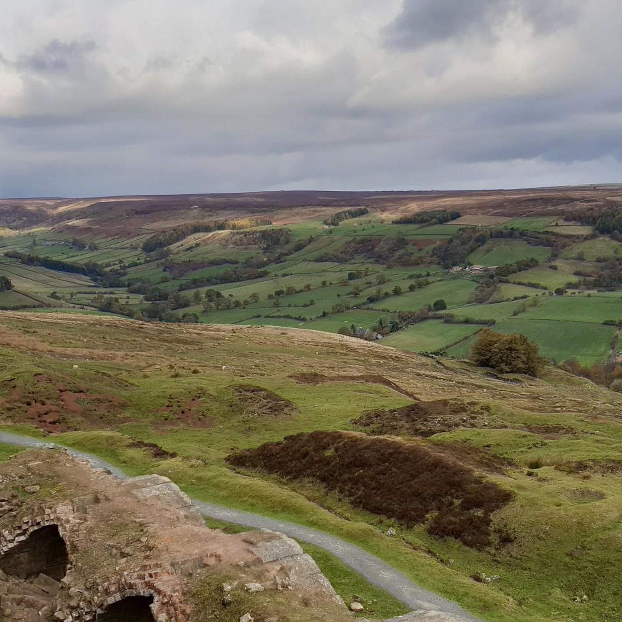
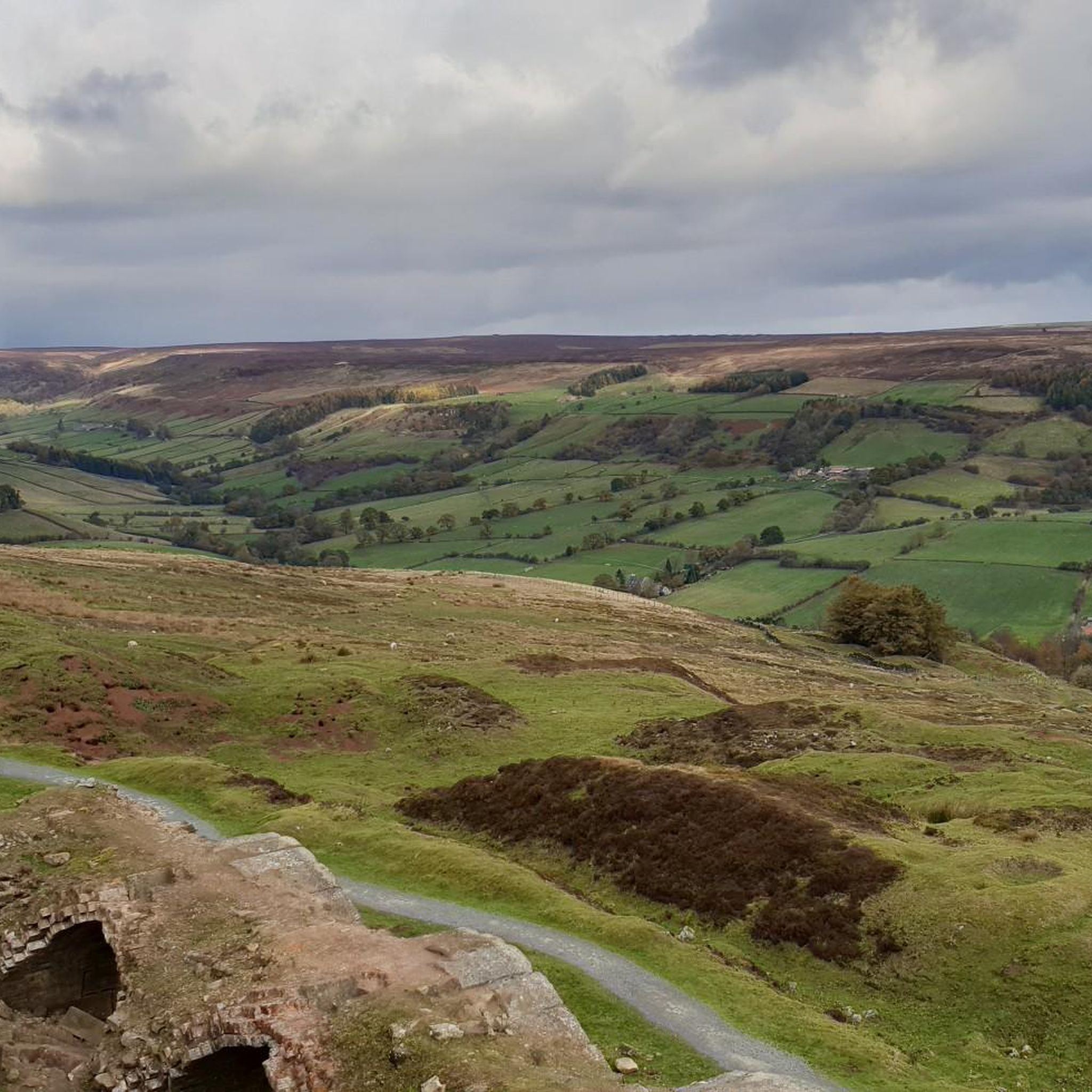
From Landofiron.org.uk: This landscape was utterly transformed during Rosedale’s Victorian ‘iron rush’ when Bank Top was a centre for the processing and transport of ironstone. Mining began in 1856, with ironstone hewn from nearby Hollins Mines and hauled by a steam winding engine up an inclined tramway to Bank Top. Vast quantities of ore – over 300,000 tonnes a year – were then processed in giant kilns, before being carried by moorland railway to blast furnaces in County Durham and Teesside. The Bank Top site also included coal depots, railway workers’ cottages and an engine shed. Production at Hollins peaked quickly and in 1885 the mines were abandoned, having largely exhausted their iron reserves in just 29 years.
1
0

Interesting ruins, great hikes with great views possible. This vastness is crazy
0
0

Urra Moor is the highest of the North York Moors, with Round Hill marking the summit. Other than fellow walkers, there's a chance you'll bump into archaeologists up on the moor. This specific area is home to a number of prehistoric remains, including barrows and carved stones, some with cup and ring carvings.
2
1
Rosedale West Sideの人気ルート
Rosedale West Sideの人気観光スポット

komootモバイルアプリでインスピレーションを得よう


さらに探索
まだ探しているハイライトが見つかりませんか?他の地域のトップアトラクションのガイドを見てみましょう:
