カインドルフの絶景の山頂・トップ6
絶景を目指して登るのであれ、達成感のために登るのであれ、山頂を訪れることで、カインドルフの美しい自然をもっと満喫することができます。6
もの選択肢の中から、制覇する山頂を決めるのは簡単ではありません。スムーズに次の冒険で目指す山頂を選べるように、カインドルフの素晴らしい山頂をこのガイドにまとめました。
最終更新日: 7月 21, 2026
リングヴァルテ展望塔
ハイライト • 展望台
翻訳者 Google •
役立つ情報 は

クルム山頂
ハイライト • 山頂
翻訳者 Google •
役立つ情報 は

今すぐサインアップして、こんな場所を発見しよう
最高のシングルトラック、ピーク、その他のエキサイティングなアウトドアスポットのおすすめを受け取ろう。
無料新規登録
フライベルガー・ヴェッタークロイツ
ハイライト • 山頂
翻訳者 Google •
役立つ情報 は

Wullmenstein山頂
ハイライト • 山頂
翻訳者 Google •
役立つ情報 は

アンネンコーゲル山頂の十字架
ハイライト • 山頂
翻訳者 Google •
役立つ情報 は
無料でサインアップして、さらに多くの山を発見しましょう カインドルフでの。
無料新規登録
すでにアカウントをお持ちですか?
無料アカウントで今日から始めよう
次の冒険が待っています。
ログインまたは登録
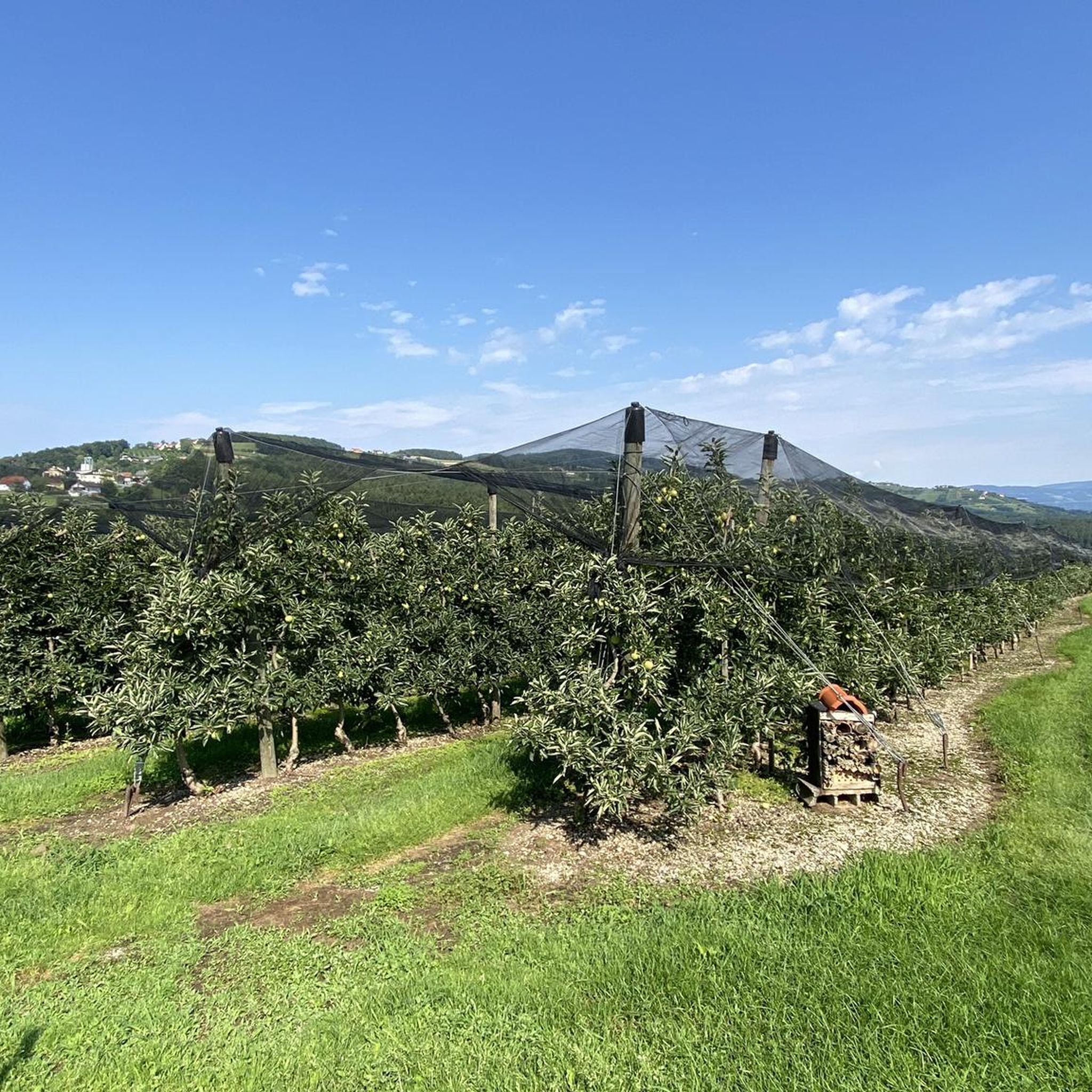
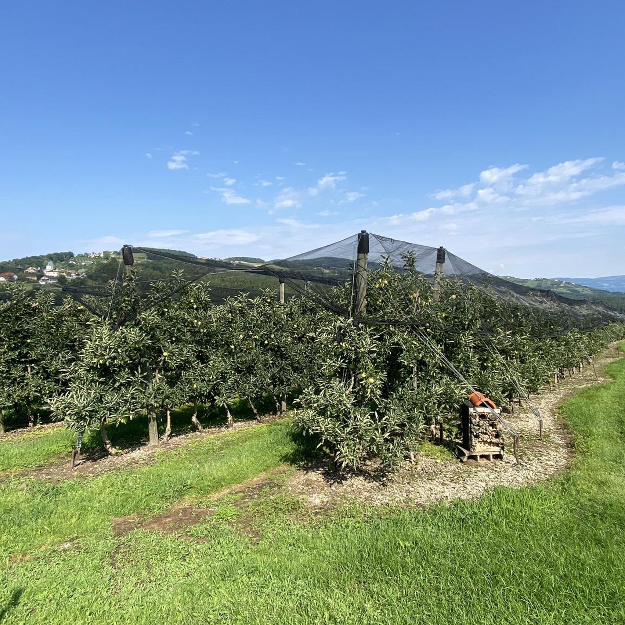
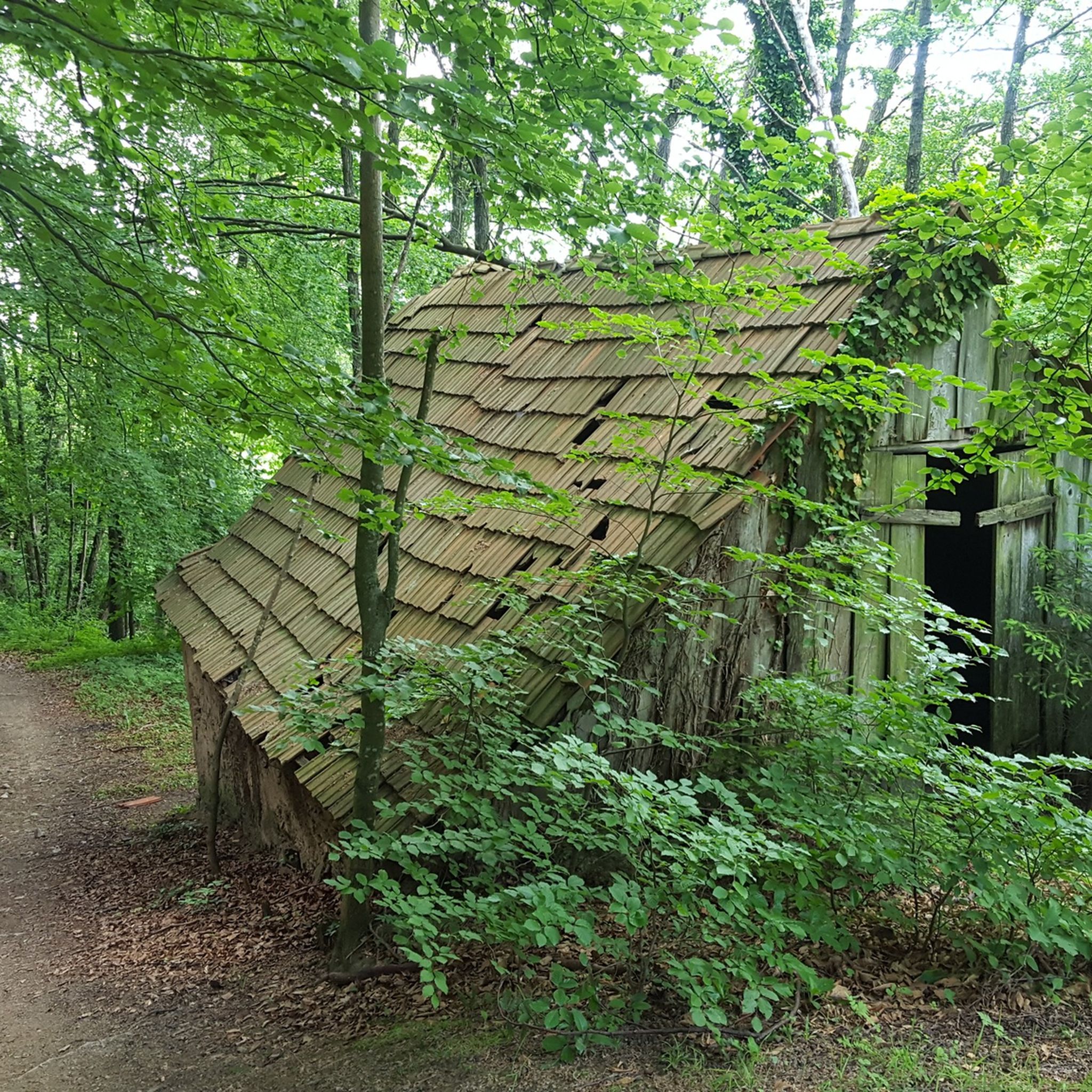
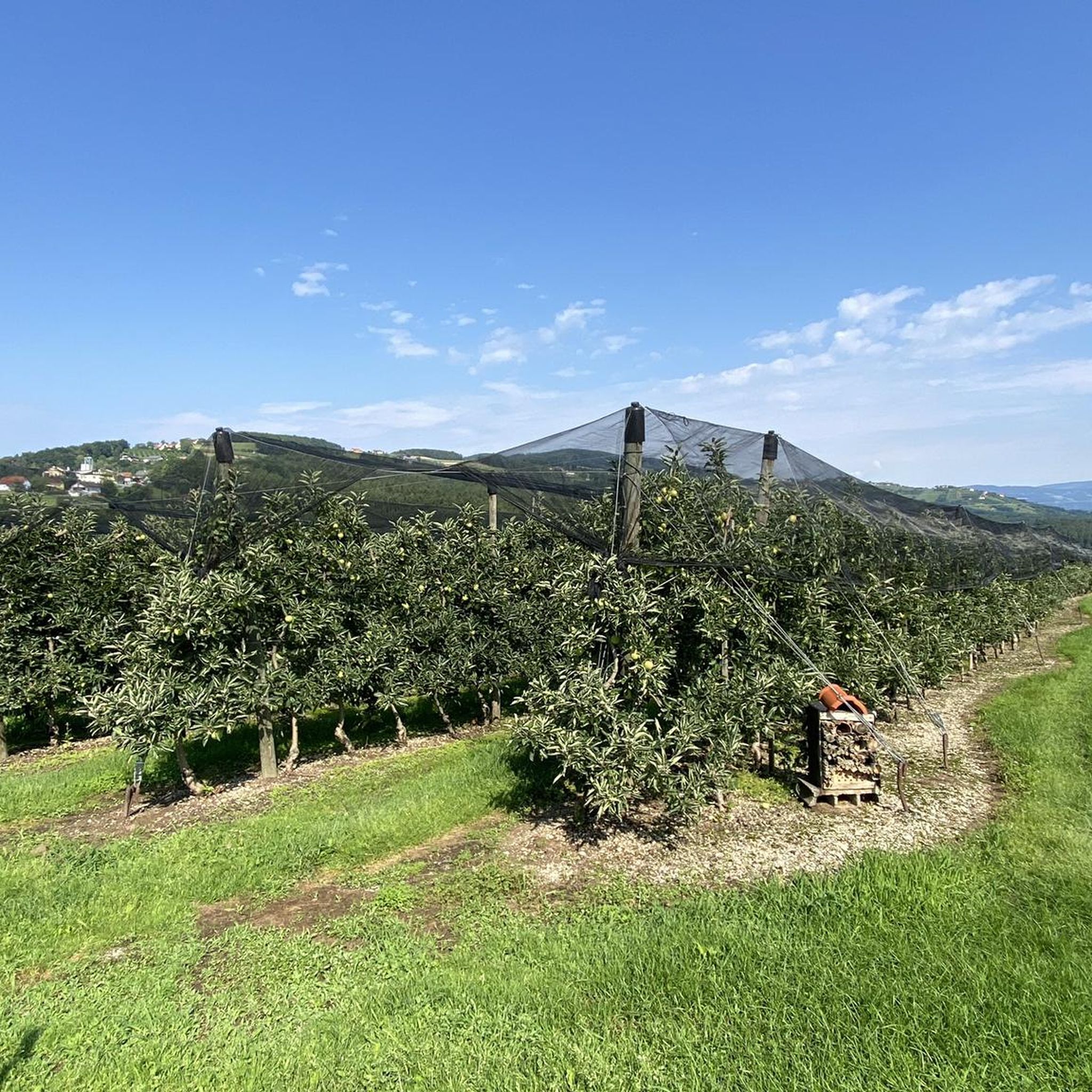

コミュニティからのヒント

毎年恒例の私の楽しみのツアー、車をサービスに出し、その間にリングコーゲルへの素晴らしいMTBツアー、そしてもちろん親切な女主人との休憩。マゼンベルクへのさらなる移動は推奨に値します、すべてがよく標識されています。グリュッケンカペレと上部の頂上十字架は、真のパワースポットです。帰り道に力をつけるための休憩場所もあります。そこから、ポッラウベルクとポッラウベルク自転車道を通ってハルトベルクに戻るか、私のツアーの経過で示されているように、さらに数メートルの高度を追加して、尾根を越え、リングコーゲルの裏側(東側)に沿ってハルトベルクに戻ります。市内中心部での短い周回ツアーで、どこでも自転車に乗ることが許可されています!!なんて素晴らしいのでしょう!例えば、素晴らしいイリーコーヒーもあります。 それは成功した、美しい一日でした。
0
0


Annenkogel is a peak in the Hartberg area, Hartberg-Fürstenfeld district, Styria and has a terrain elevation of 860 meters. Annenkogel is located near Ertlhöf and St. Anna.
0
0

Nice mountain that is easy to walk in winter. For the last piece you may need Grödel with ice cream. Great views in several directions. At the top the paths are a bit confusing, with barriers - but you can find your way around.
1
0

When climbing up, the last third part of the route is quite steep, at the top of the circular route the route is fenced off, so we missed the given direction of the Way of the Cross a bit and had to go over a Climb over with barbed wire and locked gate. The descent afterwards over a very beautiful piece of mixed forest to walk on. Be sure to stop at the Gasthaus Windhaber (very good food and friendly) about 4 hours. hiked. In my opinion, the hike is wonderful.
1
0

There is a great chance of seeing a rare butterfly here: the swallowtail. On our tour, two of them turtled next to the lookout tower.
0
0
Interesting "summit cross". Great place for a break.
0
0

The weather cross is visible from afar. If you drive down from Buchkogel, you can still drive past easily. It would be a shame, it is worth stopping here for a moment and enjoying the view of the valley.
1
0
カインドルフでのの人気観光スポット

komootモバイルアプリでインスピレーションを得よう


さらに探索
これらのガイドでさらに素晴らしい頂上を見てみましょうカインドルフでの:
