Palo Altoの絶景の山頂・トップ12
絶景を目指して登るのであれ、達成感のために登るのであれ、山頂を訪れることで、Palo Altoの美しい自然をもっと満喫することができます。12
もの選択肢の中から、制覇する山頂を決めるのは簡単ではありません。スムーズに次の冒険で目指す山頂を選べるように、Palo Altoの素晴らしい山頂をこのガイドにまとめました。
最終更新日: 7月 22, 2026
ブラックマウンテン
ハイライト • 山頂
役立つ情報 は

ウィンディヒル山頂
ハイライト • 山頂
役立つ情報 は

今すぐサインアップして、こんな場所を発見しよう
最高のシングルトラック、ピーク、その他のエキサイティングなアウトドアスポットのおすすめを受け取ろう。
無料新規登録
ブラックマウンテン(標高849m)、モンテベロ・オープンスペース保護区 🚵
ハイライト • 山頂
役立つ情報 は
ボレル・ヒル
ハイライト • 山頂
役立つ情報 は
インディアン・ロック
ハイライト • 登山
役立つ情報 は

無料でサインアップして、さらに多くの山を発見しましょう around Palo Alto。
無料新規登録
すでにアカウントをお持ちですか?
無料アカウントで今日から始めよう
次の冒険が待っています。
ログインまたは登録

around Palo Altoの他の冒険

コミュニティからのヒント

The hike from Razorback Ridge trailhead to the Windyhill summit is mostly through shaded sections. Sections of it kept cool from the fog rolling in from the Santa Cruz Mountains. The final section, Anniversary Trail is out in the open but has nice views of the bay.
0
0

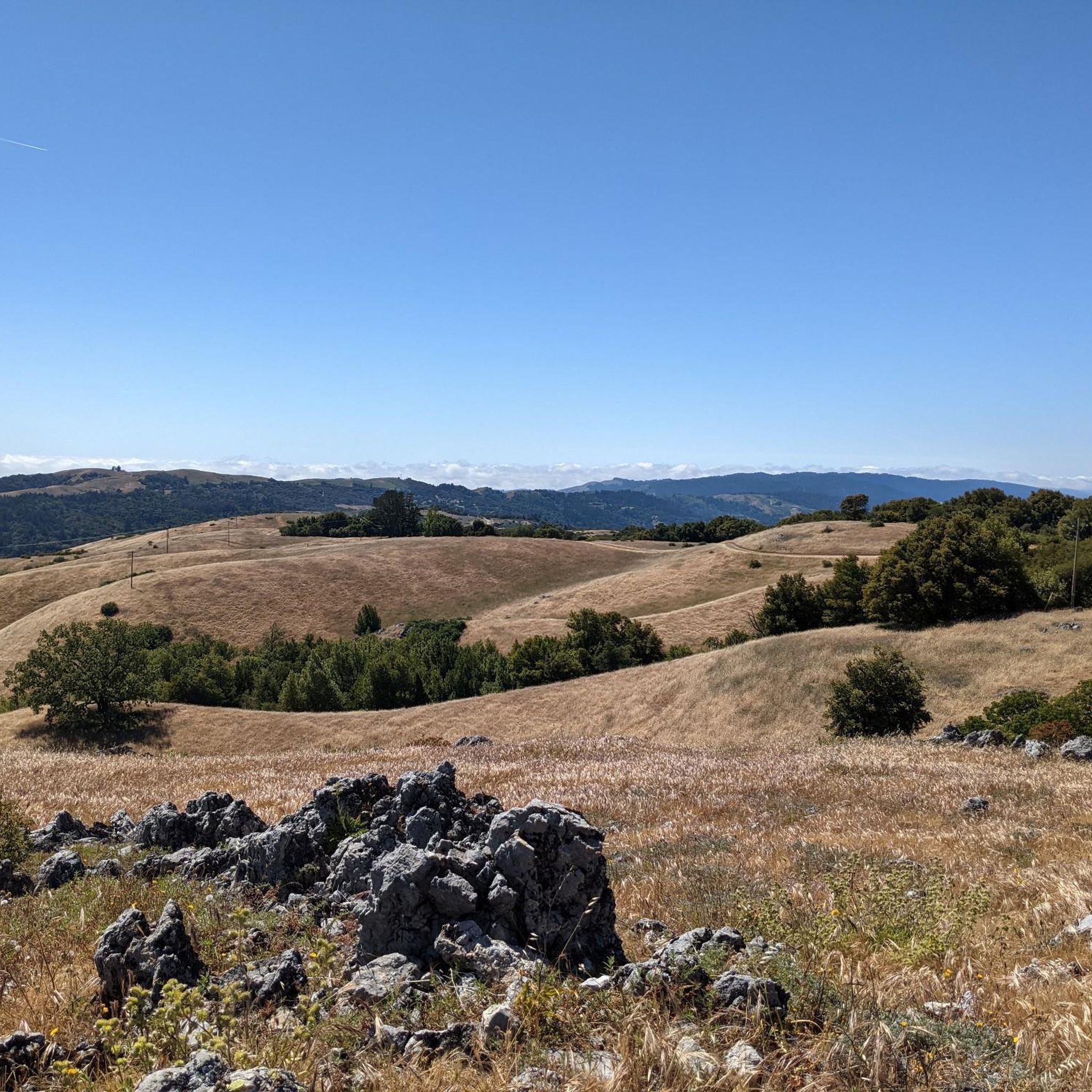
Borel Hill is my favorite place to watch spring flowers. The western slope near ancient oaks (5-10min west of Borel Hill) are covered with orange California Poppies and purple flowers starting in April. Borel Hill itself peaks around mid May and has a wide variety of flowers. The show lasts only a few weeks until end of May. The peak time and flower intensity varies from year to year, so come several times between April and May. There is small summit NW of Borel Hill and a narrow dirt trail leads you to a rock within 2 min. The rock is big enough for 2-3 to sit on. On a sunny day, the rock is nice warm even if the air is cold. Good views on the ocean and the Bay.
1
0

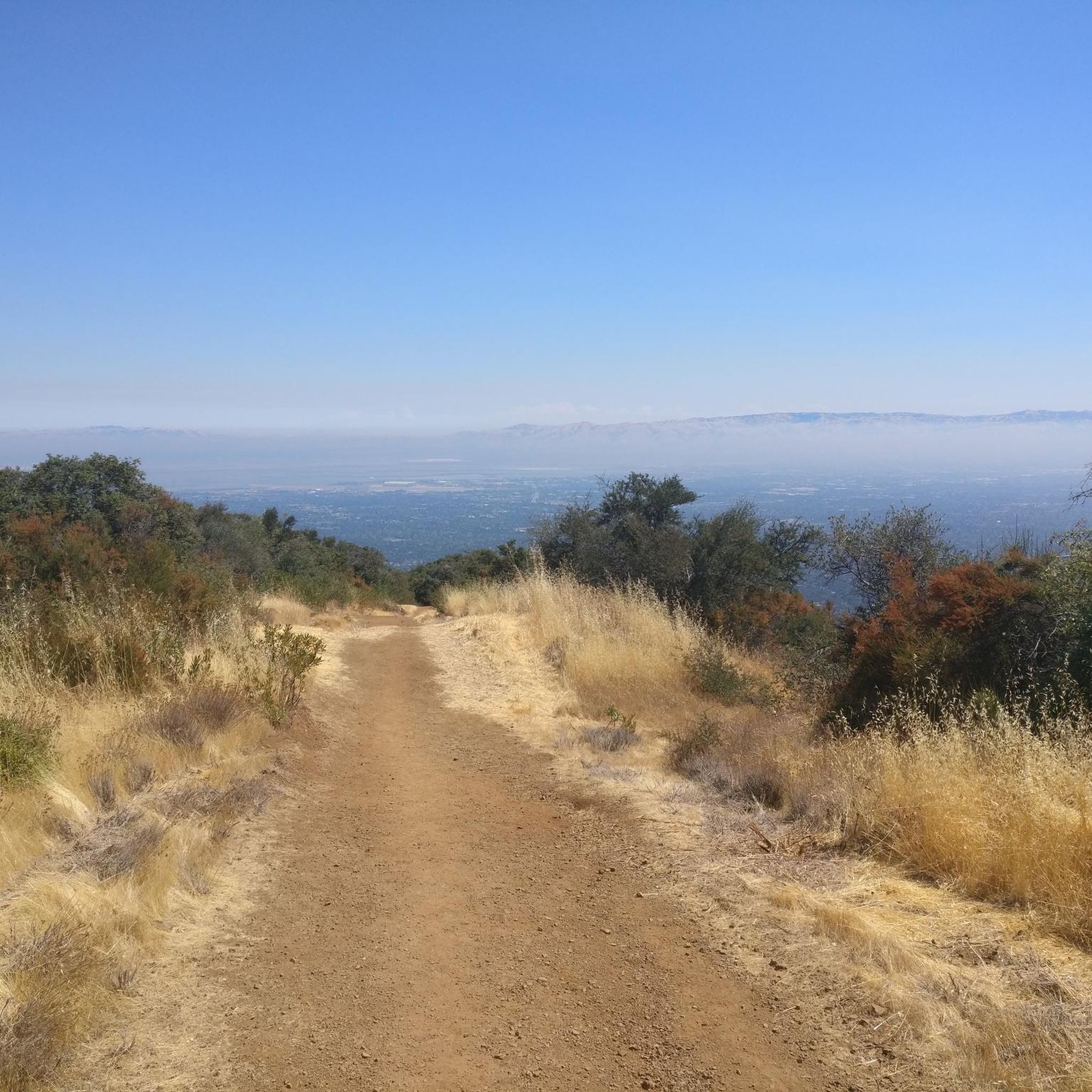
Black Mountain, situated on Monte Bello Ridge, is a popular destination for hikers and mountain bikers. With an elevation of 2,812 feet, it's easy to understand why. From the summit, the views of the Santa Cruz Mountains and Silicon Valley are breathtaking.
0
0


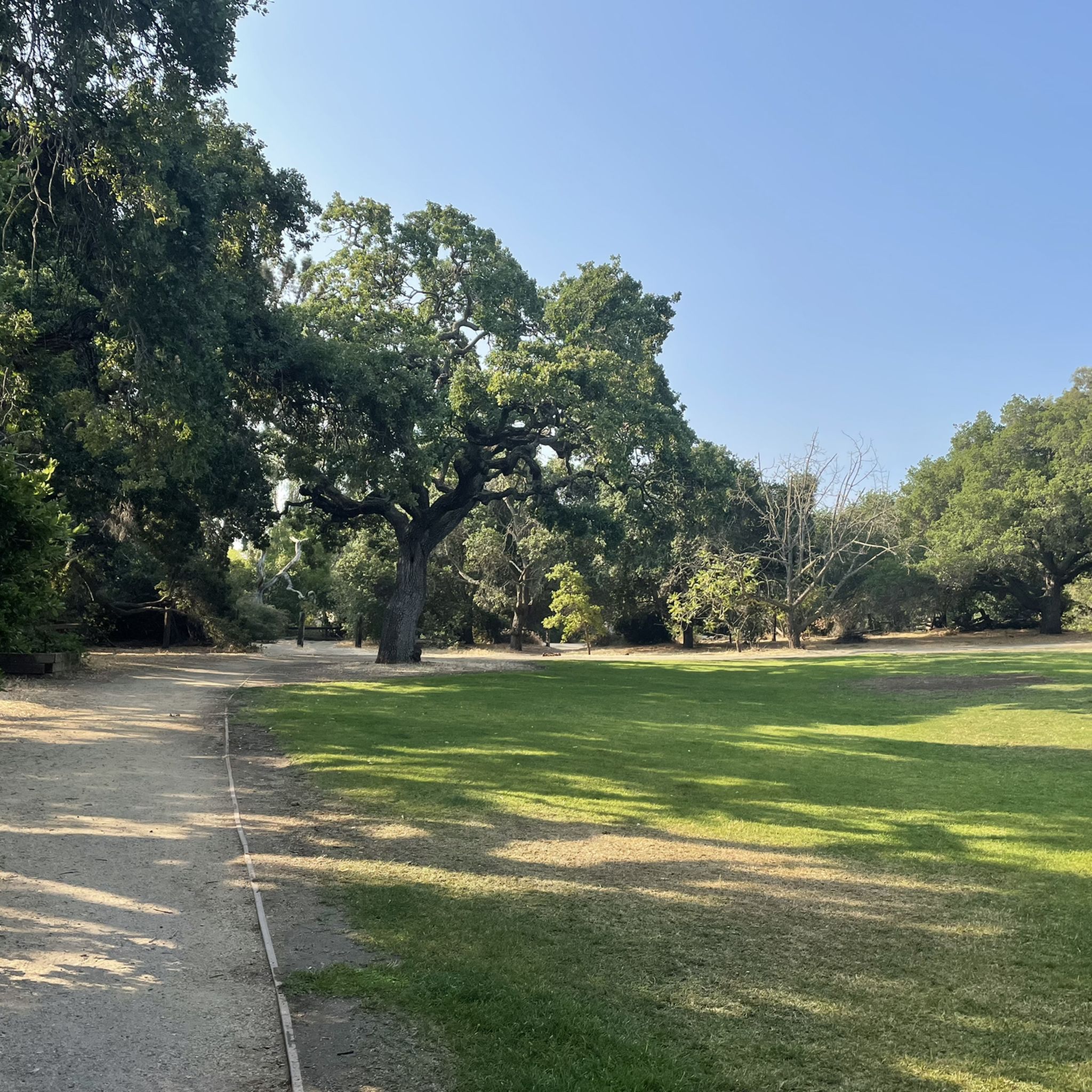
Indian Rock, a natural climbing spot, is located at the entrance of the Sanborn-Skyline County Park. The rock consists of Sandstone, but don't have the red colors that are so commonly found in the American southwest.
0
0

The top of Borel Hill has an elevation of 2,572 feet and offers panoramic views of the city below as well as views of the ocean in the distance.
0
0

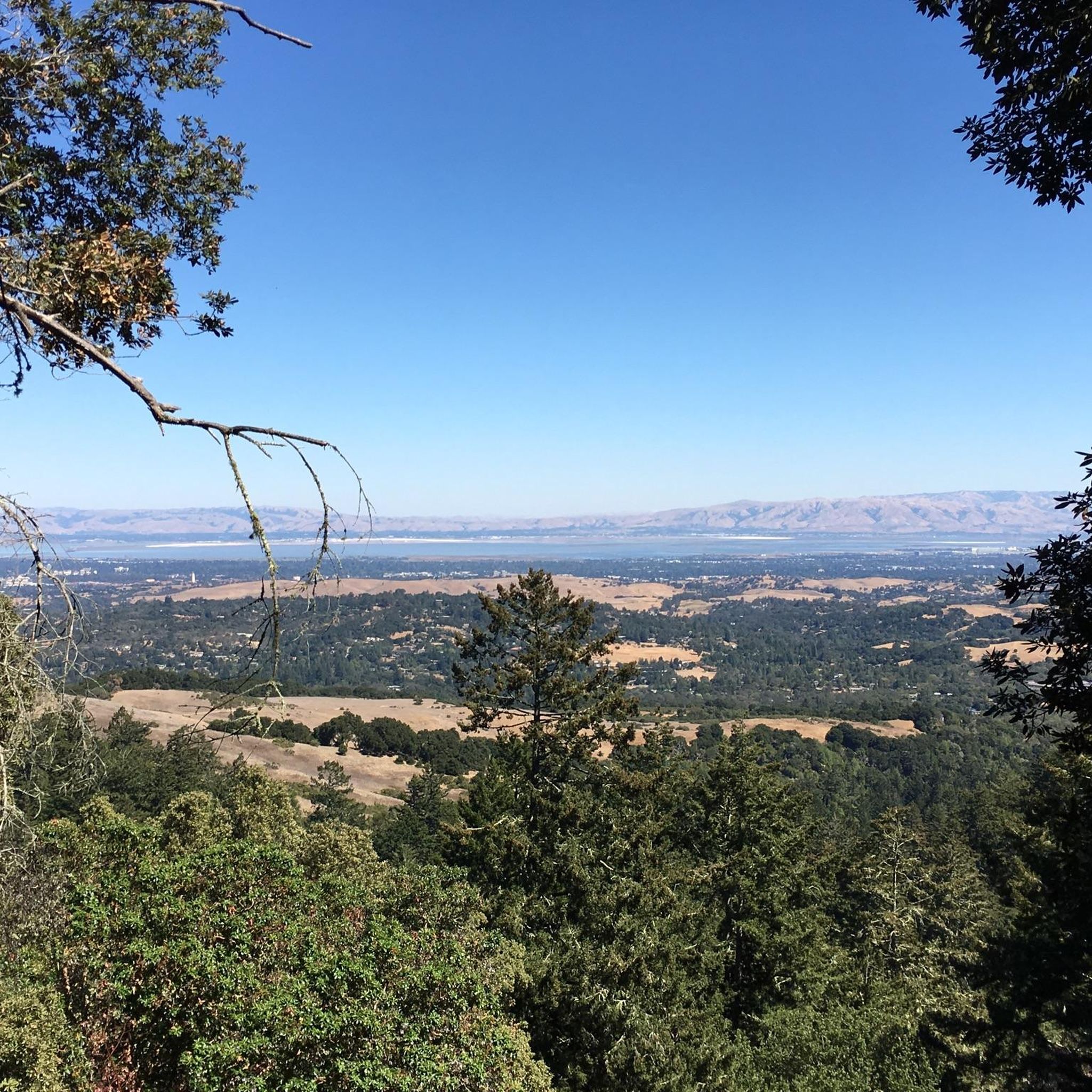
Standing at 2,800 feet, this mountain provides stunning views of the Monte Bello Open Space Preserve. Accessible from five different parks, reaching this summit allows you to add variety to your route.
0
0

Spectacular 360° surround views from the top of the hill (2513 feet / 766 meters).
1
0
around Palo Altoの人気観光スポット

komootモバイルアプリでインスピレーションを得よう


さらに探索
これらのガイドでさらに素晴らしい頂上を見てみましょうaround Palo Alto:
