サンマロ周辺のアトラクション&必見スポット - トップ20
サンマロには必見のスポットがたくさんあります。ハイキング愛好家やサイクリング愛好家の方は、ぜひサンマロを探索してこのエリアにある20
の隠れたスポットを訪れてみてください。このエリアの必見スポットを確認し、次の冒険に出かける計画を立てましょう。
最終更新日: 7月 21, 2026
グルアン岬
ハイライト • 展望台
Dominated by a semaphore built in 1861, …
翻訳者 Google •
役立つ情報 は

プラージュ・デュ・モール
ハイライト • ビーチ
翻訳を表示中
役立つ情報 は

今すぐサインアップして、こんな場所を発見しよう
最高のシングルトラック、ピーク、その他のエキサイティングなアウトドアスポットのおすすめを受け取ろう。
無料新規登録
ムーラン・ド・ラ・サリーヌ
ハイライト • 記念碑
翻訳者 Google •
役立つ情報 は
プラージュ・デュ・シヨン
ハイライト • ビーチ
翻訳者 Google •
役立つ情報 は

サン・ヴァンサン門
ハイライト • 記念碑
翻訳者 Google •
役立つ情報 は
サン=マロ城
ハイライト • 城
翻訳者 Google •
役立つ情報 は

エスプラネード・サン・ヴァンサン
ハイライト • その他
翻訳者 Google •
役立つ情報 は
サント=アンヌ=ド=ラ=グレーヴ礼拝堂
ハイライト • 宗教的な場所
翻訳者 Google •
役立つ情報 は
サン=マロの城壁
ハイライト (セグメント) • その他
翻訳者 Google •
役立つ情報 は
歴史的な船舶、デュガイ=トルアン桟橋と船溜まり
ハイライト • 構造物
翻訳者 Google •
役立つ情報 は
無料でサインアップして、さらに多くの観光スポットを発見しましょう サンマロでの。
無料新規登録
すでにアカウントをお持ちですか?
無料アカウントで今日から始めよう
次の冒険が待っています。
ログインまたは登録


サンマロでのの他の冒険


コミュニティからのヒント


The Porte Saint-Vincent is the main gate to the old town and was built between 1708 and 1710. It is a double-towered Baroque building bearing two coats of arms: one for the Duchy of Brittany and the other for the city of Saint-Malo. The gate connects the city walls to the Esplanade Saint-Vincent and serves as the main entrance to the old town. From here, you can enjoy beautiful views of the harbor, coast, and historic buildings.
13
0
The Esplanade Saint-Vincent is the central square at the main entrance to the Old Town. It is located directly in front of the historic Porte Saint-Vincent and connects the city walls to the Plage du Sillon beach. The square serves as an important meeting point for visitors and locals and is the starting point for many city tours. It houses the Tourist Information Office, a large parking garage (Q-Park Saint-Vincent), public restrooms, charging stations for electric cars, bus stops, and a taxi stand. The esplanade is barrier-free and therefore easily accessible for people with limited mobility. It is also frequently used for markets, concerts, and cultural events.
17
0
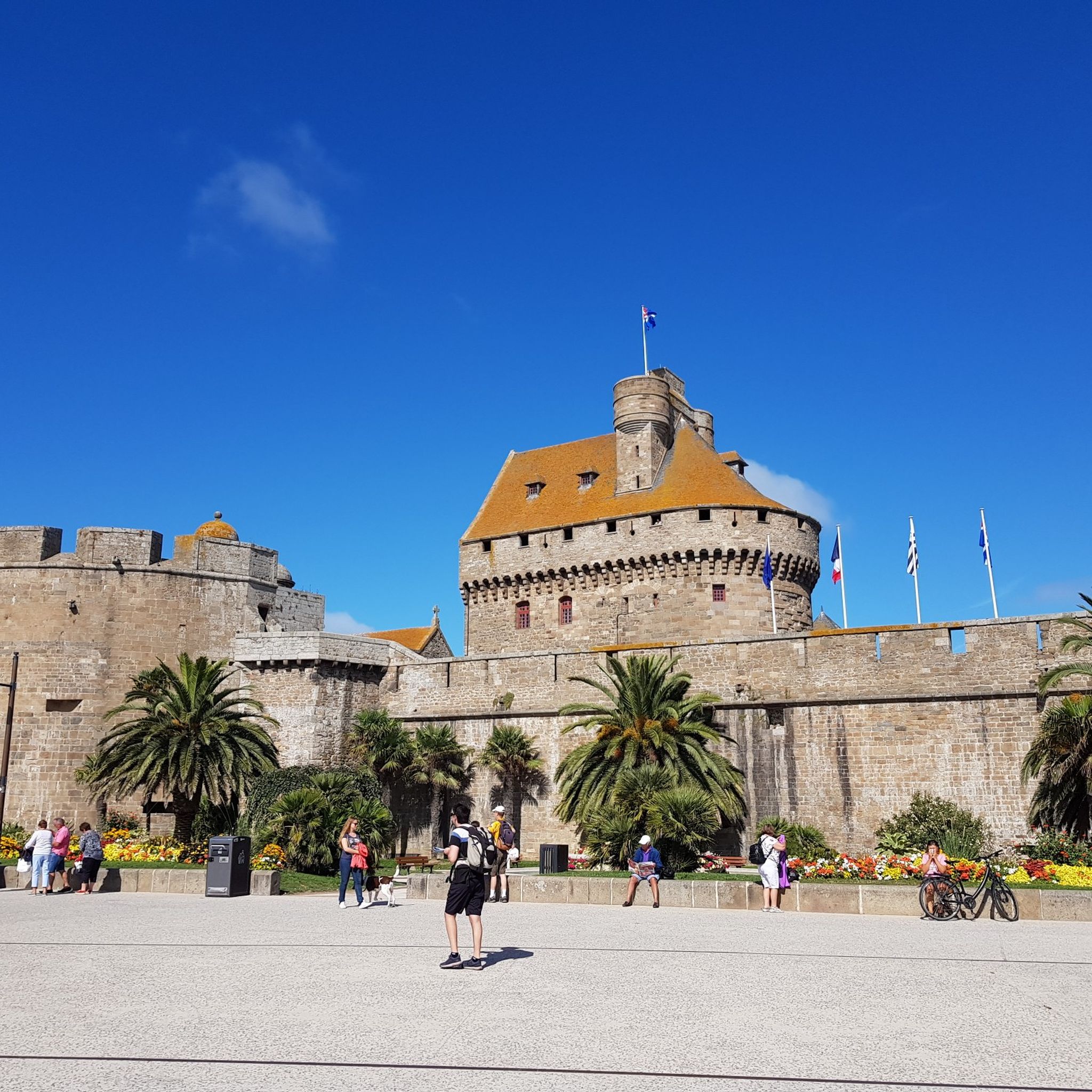
The Château de Saint-Malo, also known as the Château de la Duchesse Anne, is located in the heart of the old town (intra-muros). Built between the 15th and 17th centuries, it served both as a military defense and as a representative office for the Dukes of Brittany. It was further fortified under Vauban. The castle suffered damage throughout its history, including during the French Revolution and World War II, but has been restored. Today, it houses the city hall and, until 2019, was home to the Musée d'Histoire de la Ville et du Pays Malouin.
24
0
The city walls (Les Remparts) enclose the old town of Intra-Muros and were built between the 12th and 17th centuries to protect it from attacks. The walkable circular route offers spectacular views of the sea, the Mole des Noires, beaches such as the Mole Beach, and the old town. Numerous bastions and gates, including the Saint-Philippe Bastion and the Dinan Gate, are located along the walls.
23
0
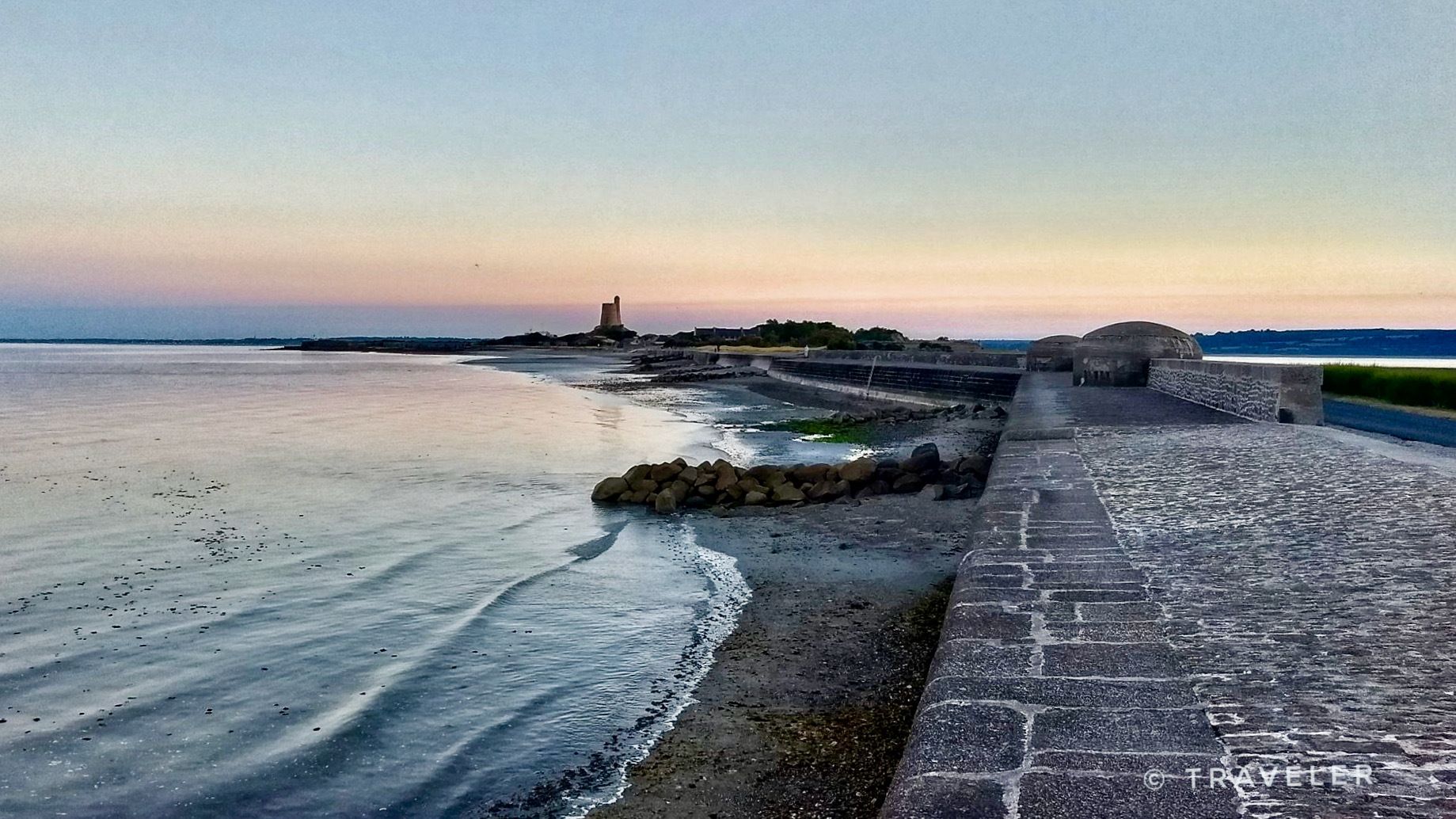
プラージュ・デュ・モールは、歴史的な旧市街の南西部に位置し、そびえ立つ要塞の城壁の麓にあります。それは、海に長く突き出て港を守る、約500メートルの長さの防波堤であるモル・デ・ノワールのすぐ近くにあります。この防波堤の名前は、その上に建てられた黒い岩である「ロシュ・ノワール」に由来しています。北側では、プラージュ・デュ・モールは岩と、隣接するプラージュ・ド・ボン・セクールからのオランダのバスティオンの城壁によって区切られています。
27
0

At 3 km long, this is the largest sandy beach in Saint-Malo. Walking along this beach, you can reach Intra-Muros in Paramé. Sillon Beach includes Grande Plage, Hoguette Beach, and Rochebonne Beach. La Digue was built from 1883 to 1913 on an old sandbar (the Sillon) that once connected Paramé to the walled city and provided the only dry-land access at low tide. Originally, a strip of sand was covered with dunes that grew higher and higher as one moved toward Rochebonne, with only a succession of windmills remaining. The first causeway was built in 1509, rebuilt and widened several times... Le Digue, 1,671 meters long, runs along Grande Plage and offers a pleasant stroll, lined with numerous villas built towards the end of the 19th century. Along the Sillon, a line of breakwaters protects the seawall from the force of the waves. Built in the early 19th century based on an idea by the civil engineer Robinault de St-Servan, the oak breakwaters have a depth at least equal to, or even greater than, their visible height.
2
0

サンマロでのの人気観光スポット

komootモバイルアプリでインスピレーションを得よう


探していたものは見つかりませんでしたか?
近くの素晴らしい場所をもっと探索したいですか?ガイドを見てみましょう:
さらに探索
まだ探しているハイライトが見つかりませんか?他の地域のトップアトラクションのガイドを見てみましょう:
