8 parasta vuoristosölaa lähellä Taurinya
Olipa kyse näkymistä, noususta tai laskusta, selaa listaamme parhaista vuoristosölista lähellä Taurinya ja tee seuraavasta seikkailustasi unohtumaton. Yhteisön tuottamia, yhteisölle — jokainen vuoristosola on luotettava henkilökohtainen suositus, joten löydä suosikkisi ja lähde liikkeelle.
Viimeksi päivitetty: 23. heinäkuuta 2026
Col de Jou
Highlight • Vuoristosola
Käännetty: Google •

Collade des Roques Blanches (2252m)
Highlight • Vuoristosola
Käännetty: Google •

Rekisteröidy nyt löytääksesi tällaisia paikkoja
Saat suosituksia parhaista single track -reiteistä, huipuista ja monista muista jännittävistä ulkoilukohteista.
Rekisteröidy ilmaiseksi
Pla Guillem
Highlight • Näköalapaikka
Käännetty: Google •

Col des Voltes
Highlight • Vuoristosola
Käännetty: Google •

Col Palomere
Highlight • Vuoristosola
Käännetty: Google •
Rekisteröidy ilmaiseksi ja löydä vielä enemmän solia lähellä Taurinya.
Rekisteröidy ilmaiseksi
Onko sinulla jo tili?
Aloita tänään ilmaisella tilillä
Seuraava seikkailusi odottaa.
Kirjaudu sisään tai rekisteröidy
Suosittua lähellä Taurinya
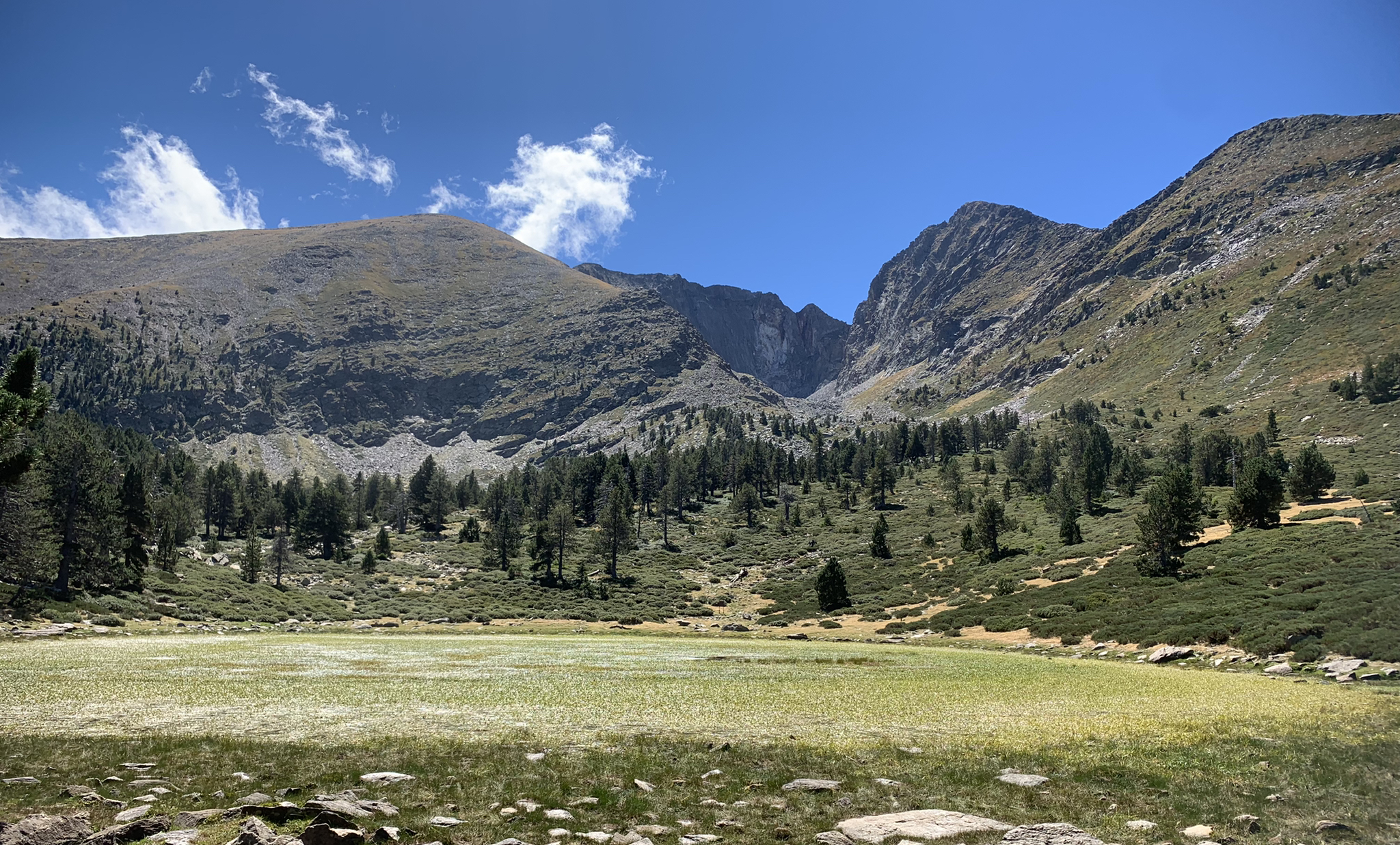
Tour du Canigou – Through the heart of the Mediterranean Pyrenees

Haute Route Pyrénéenne – Pyrenees Crossing
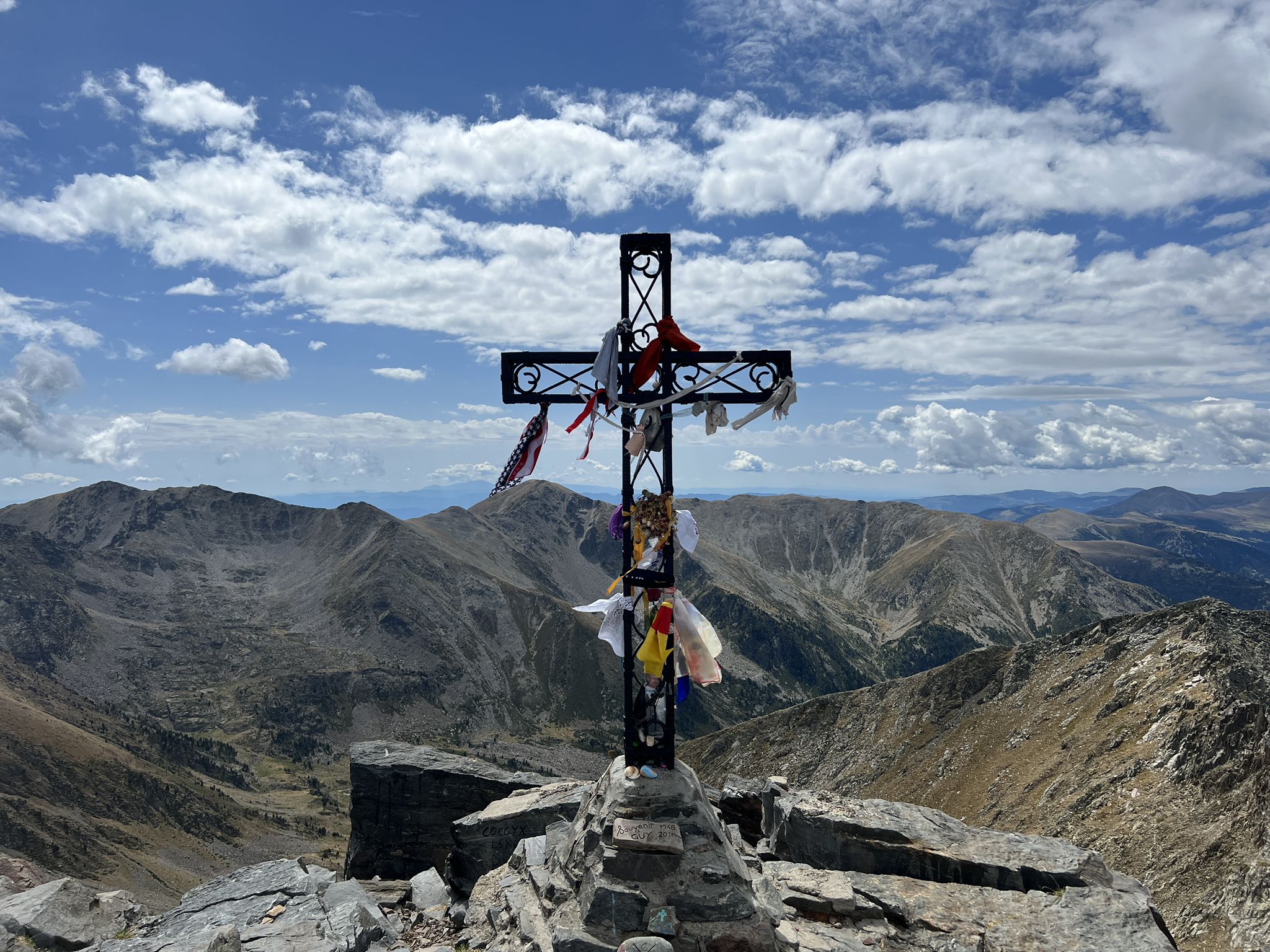
Tour of Canigo — The last great massif of the Pyrenees

On wild ridges: Catalonia to Ariège – Hexatrek, Eastern Pyrenees
Maantiepyöräilyreitit lähellä Taurinya
Pyöräilyreitit lähellä Taurinya
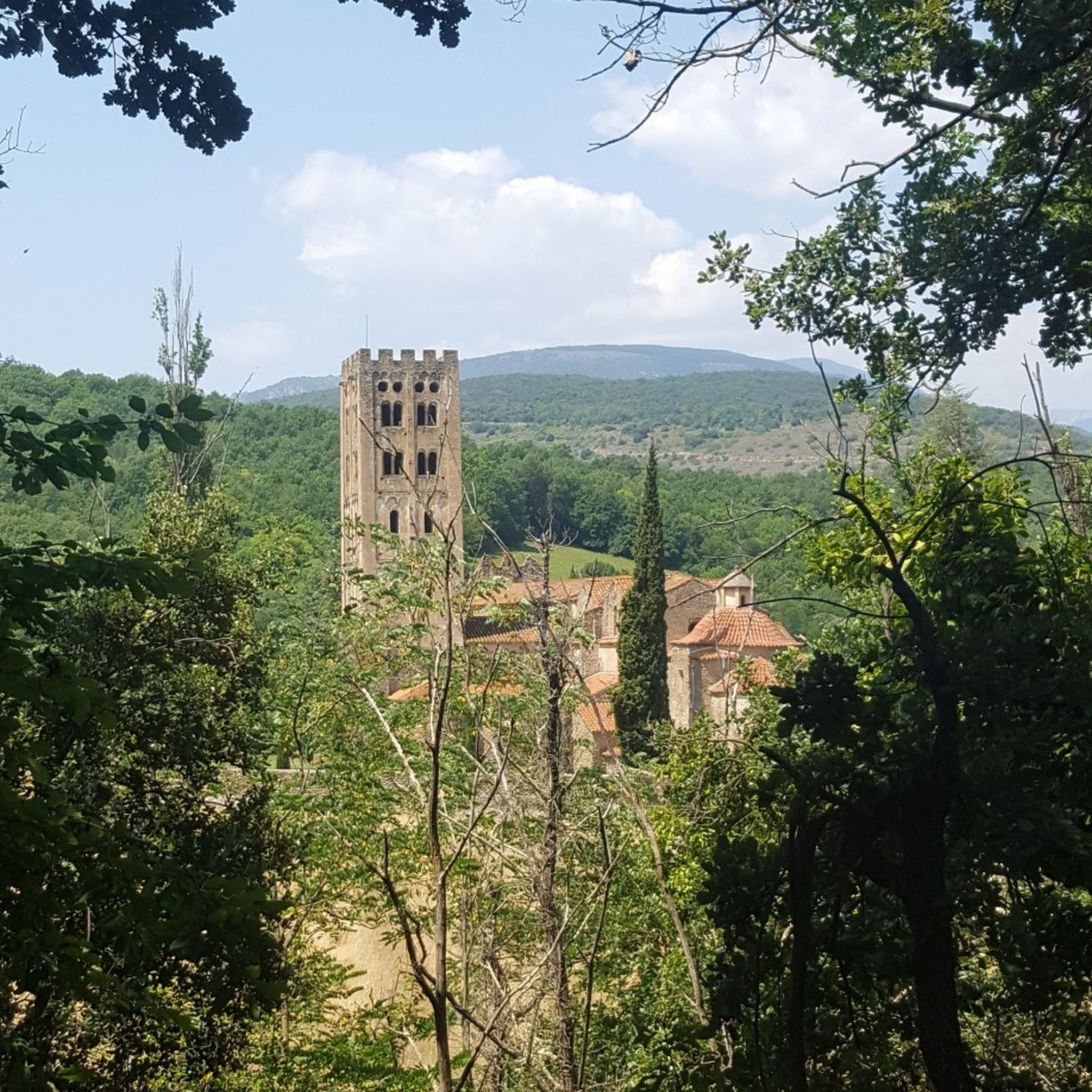
Vaellus lähellä Taurinya
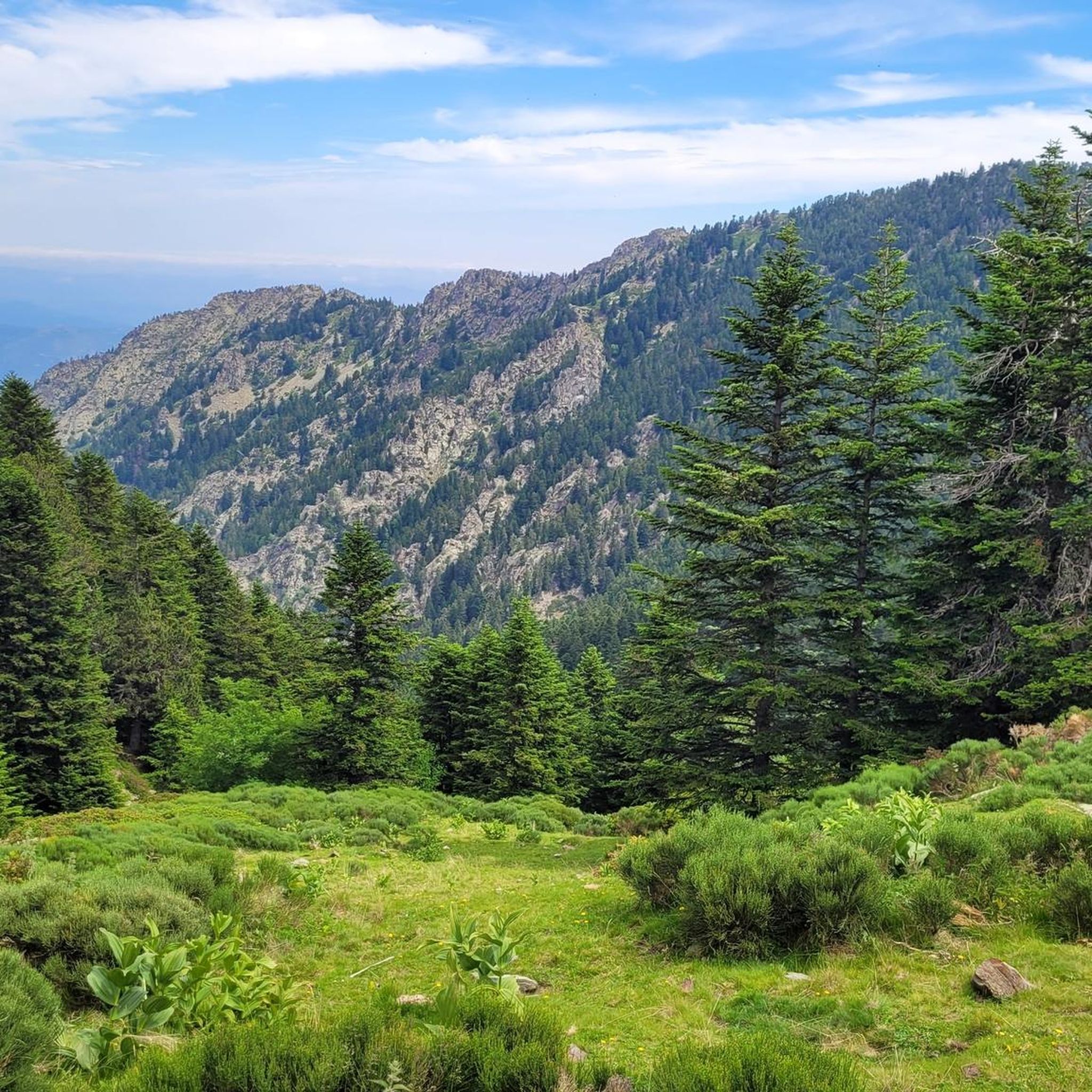
Maastopyöräilyreitit lähellä Taurinya
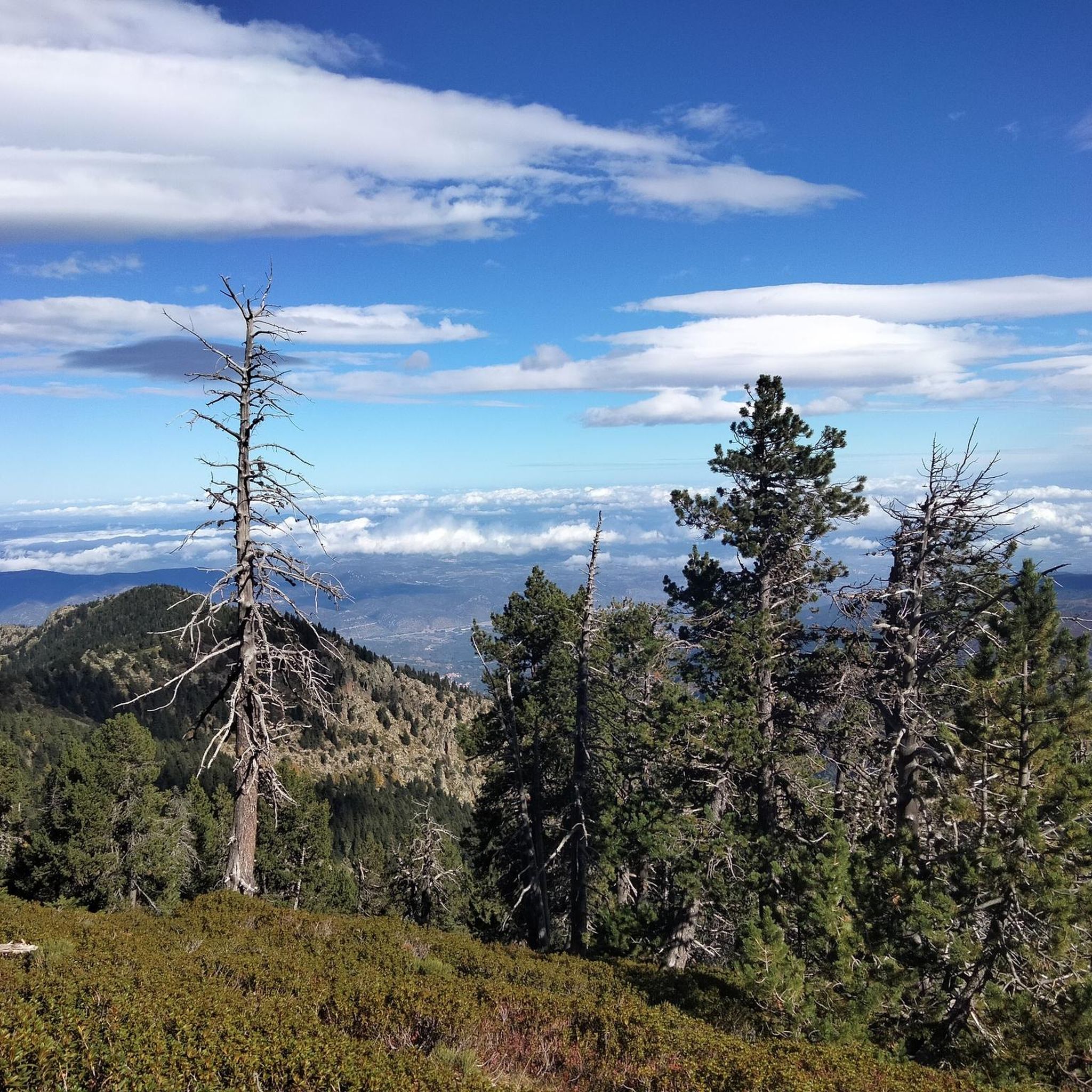
Juoksureitit lähellä Taurinya

Gravel-pyöräily lähellä Taurinya
Muita seikkailuja lähellä Taurinya


Vinkkejä yhteisöltä

The Col de Jou from Villefranche de Conflent is a climb in the French Pyrenees. This climb is 11.4 kilometers long and has a positive elevation gain of 687 meters. The Col de Jou from Villefranche de Conflent has an average gradient of 6%.
15
0

Nice little collar, very accessible
0
0

A fairly difficult hike all the same for an occasional hiker because of the very rough ground and many steps. We tend to believe that we are marking time on the spot. Hiking equipment and water are essential. The descent is just as challenging. 960m of D+ Constant. Breathtaking viewpoint
0
0

Col des Voltes From here it is another 3 km to the refuge des Cortalets
1
0

Ridden in Gravel, well loaded: it's fine, but you don't have to be in a hurry! From the Conques refuge, no walls that are too steep, but lots and lots of stones. You can hear (and maybe see?) the marmots. The breathtaking views along the way will not make you regret a single drop of sweat! However, be careful of cows which can block the path, especially if they have young ones.
0
0

The Col de Jou peaks at an altitude of 1,125 meters. It is a well-known rallying point for local hikers. Indeed, the GR 10 passes through there, and it is the starting point for many hikes including the one that connects Canigou peak.
1
0

High point between Conflent and Vallespir. Magnificent view that deserves. Possible to descend by the GR or by the 4x4 path towards Prats de Mollo.
1
0

Pla Guillem is 2,290 meters above sea level. It is located on the Canigou tour between the Miriailles refuge and the village of Prats-de-Mollo-la-Prest. There is also a path that leads to a beautiful ridge made up of peaks around 2,700 meters above sea level.
0
0
Suosituimmat reitit lähellä Taurinya
Suosituimmat nähtävyydet lähellä Taurinya

Inspiroidu komoot-mobiilisovelluksella


Tutustu lisää
Näe vielä lisää eeppisiä vuoristosolia tutustumalla näihin oppaisiin lähellä Taurinya:
