20 upeinta vuorenhuippua lähellä Grän
Olipa kyse näkymistä tai haasteesta, vuorenhuippujen valloittaminen lähellä Grän on paras tapa kokea enemmän tästä kauniista alueesta. Mutta 20
valittavana voi olla vaikea tietää, minkä huipun valita. Siksi olemme koonneet parhaat huiput lähellä Grän sinulle tänne — jotta voit helposti lisätä yhden seuraavaan seikkailuusi.
Viimeksi päivitetty: 4. elokuuta 2026
Iseler Peak
Highlight • Huippu
The view of the surrounding mountain landscape is huge. The path to the Iseler summit requires not only certain surefootedness.
Käännetty: Google •

Ostlerhütte
Highlight • Vuorimaja
Käännetty: Google •

Rekisteröidy nyt löytääksesi tällaisia paikkoja
Saat suosituksia parhaista single track -reiteistä, huipuista ja monista muista jännittävistä ulkoilukohteista.
Rekisteröidy ilmaiseksi
Saloberalm
Highlight • Vuorimaja
Käännetty: Google •

Breitenberg Summit
Highlight • Huippu
Käännetty: Google •

Burgruine Falkenstein
Highlight • Linna
Käännetty: Google •

Rekisteröidy ilmaiseksi ja löydä vielä enemmän huippuja lähellä Grän.
Rekisteröidy ilmaiseksi
Onko sinulla jo tili?
Aloita tänään ilmaisella tilillä
Seuraava seikkailusi odottaa.
Kirjaudu sisään tai rekisteröidy
Suosittua lähellä Grän
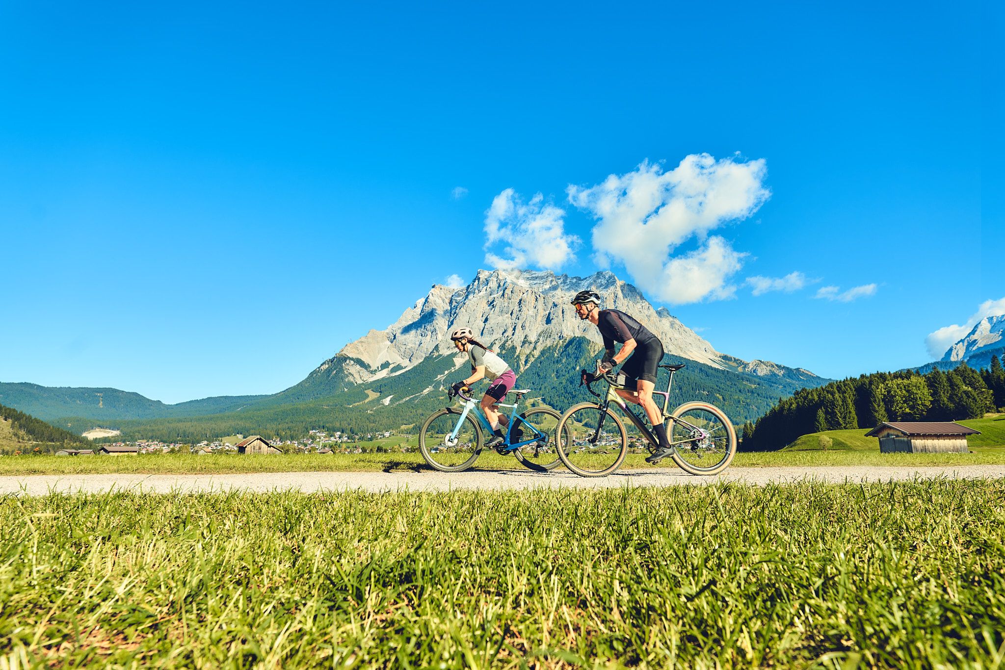
Experience the Außerfern in Tyrol's largest gravel bike region
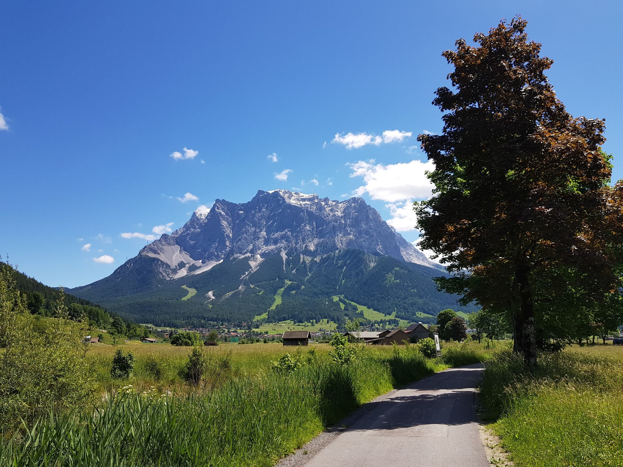
Bikepacking around Germany’s immense Zugspitze
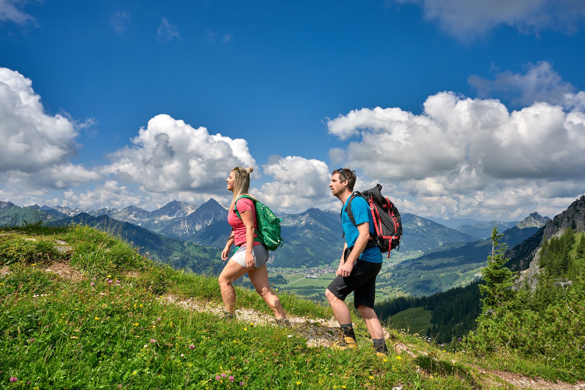
Beautiful alpine hikes with mountain huts in Austria’s Tannheimer Tal
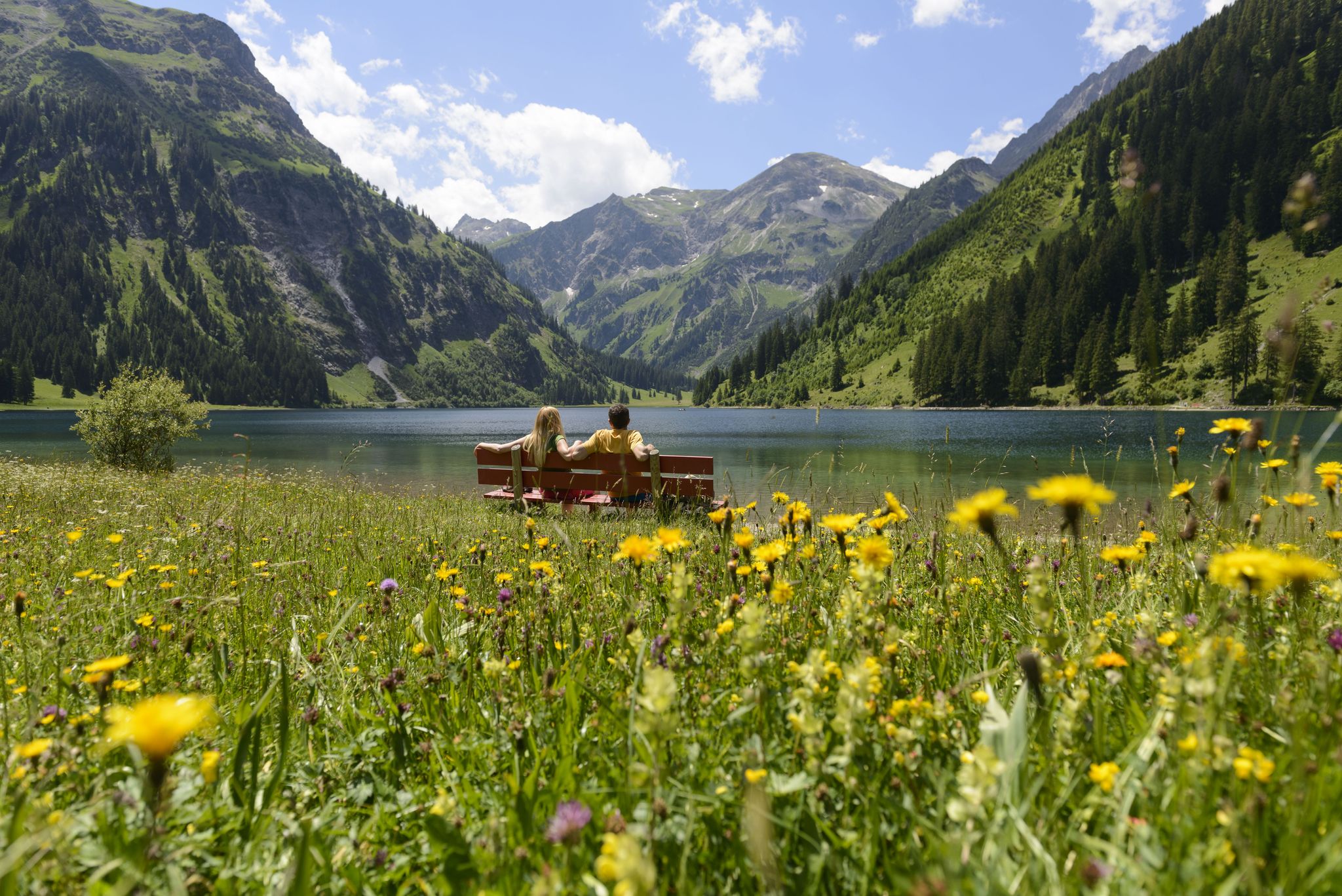
Summits, lakes & pleasure — Hiking in the Tannheimer Valley
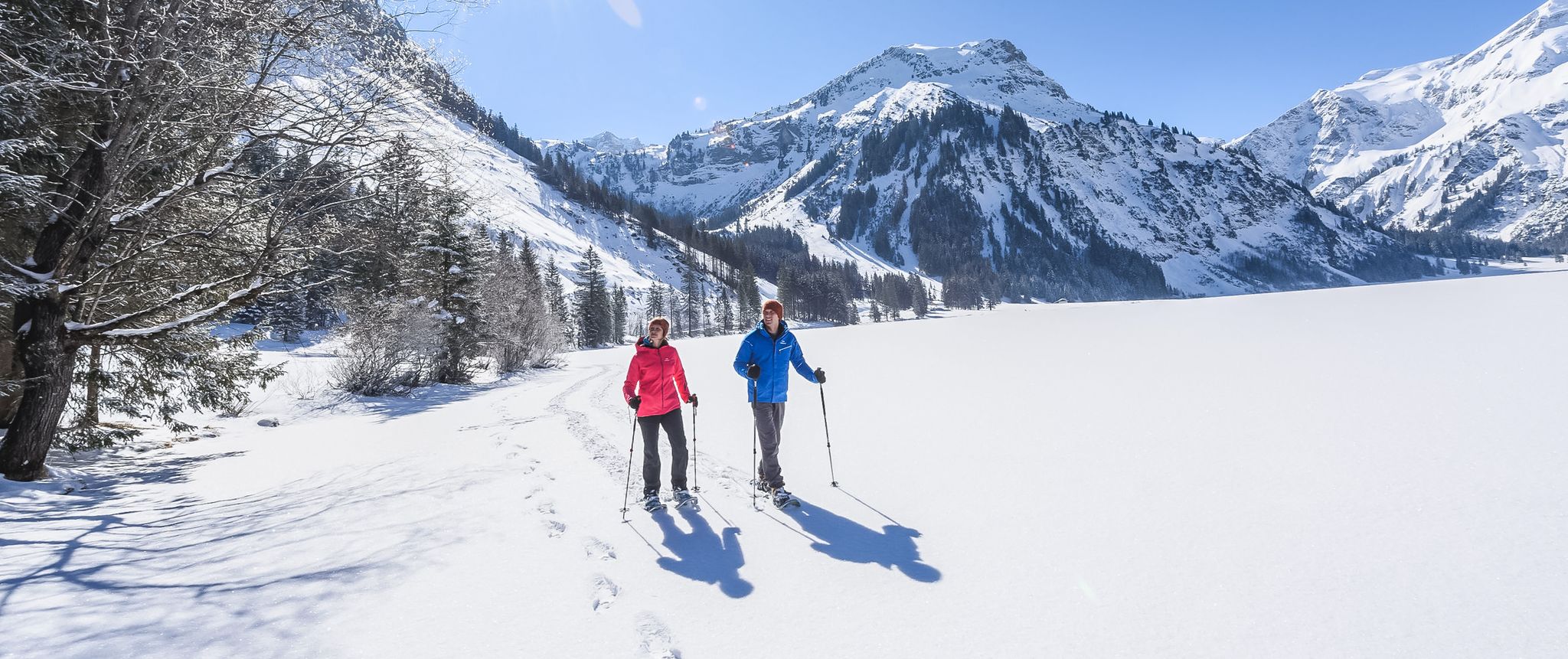
Mountains, snow & a clear blue sky – winter hikes in the Tannheimer Valley
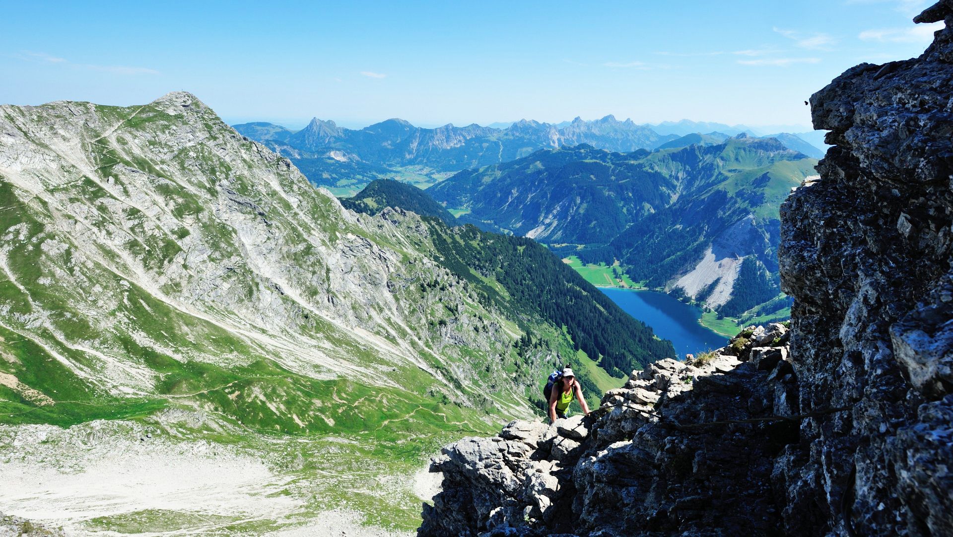
Up up and away in the Allgäu
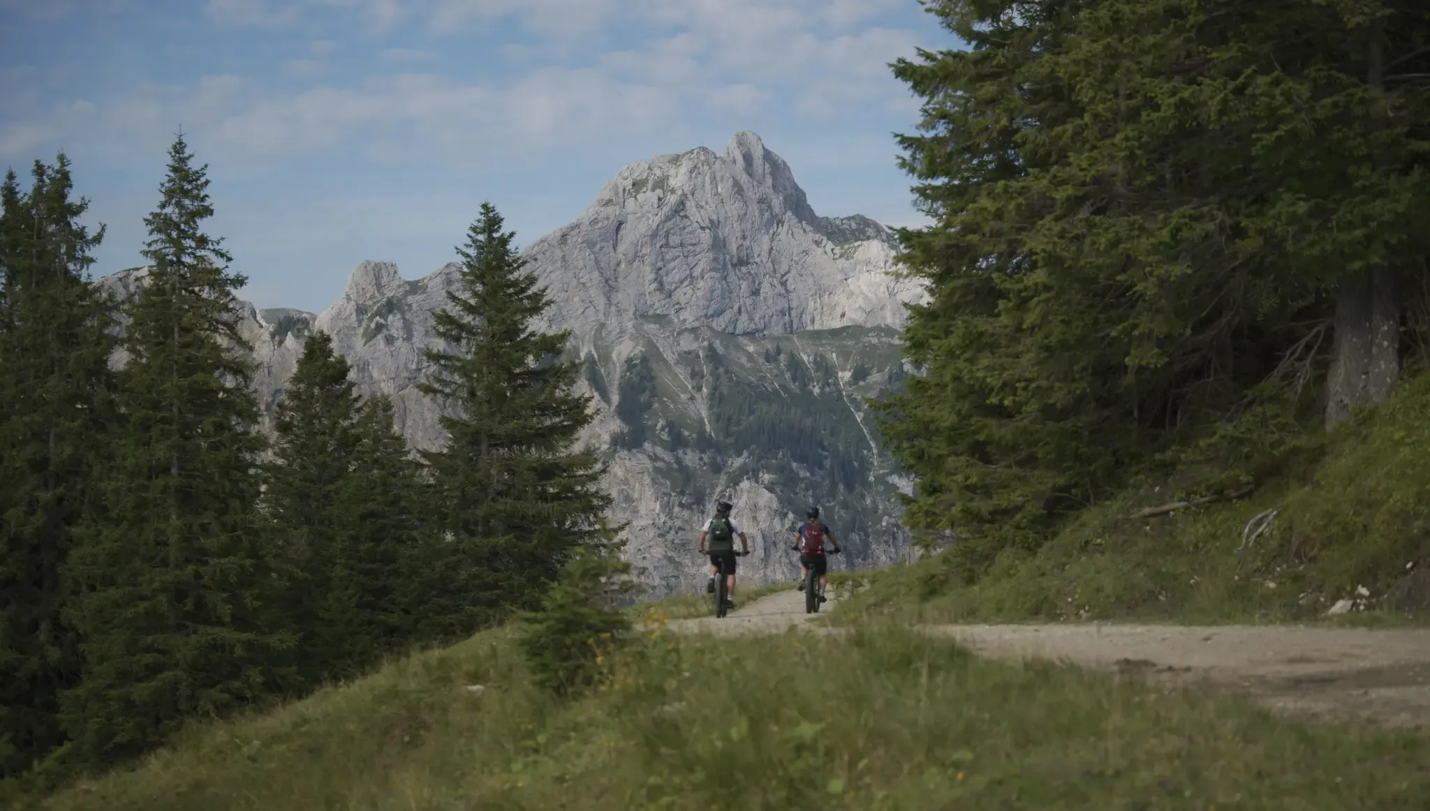
Fünf Arten, das Tannheimer Tal auf zwei Rädern zu erkunden
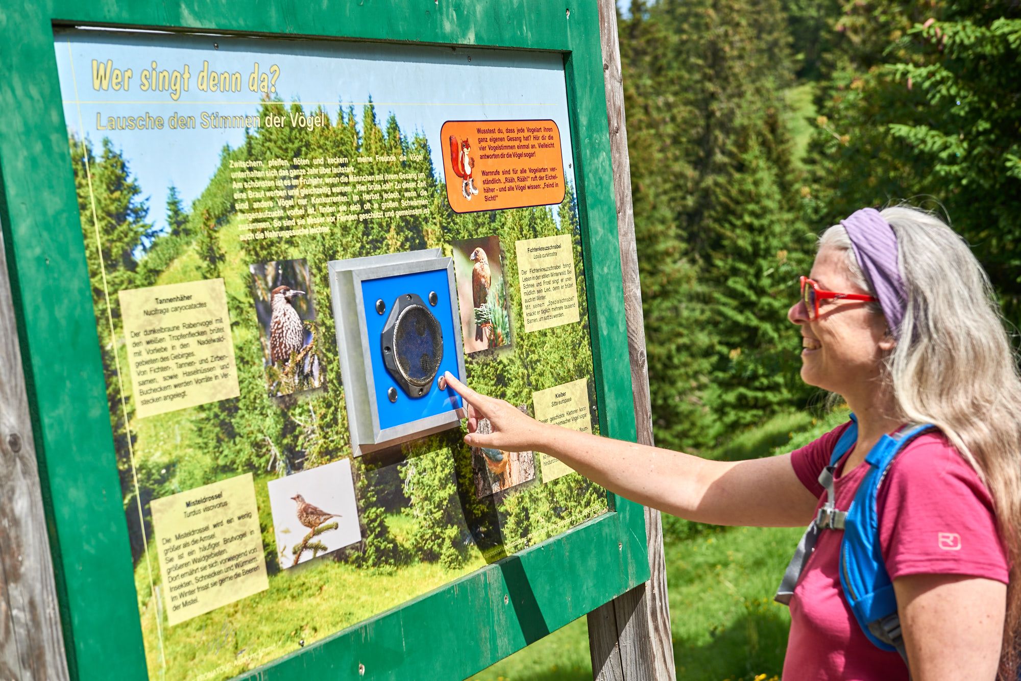
Wissenswertes über die Natur bis zur Geschichte – Themenwege im Tannheimer Tal
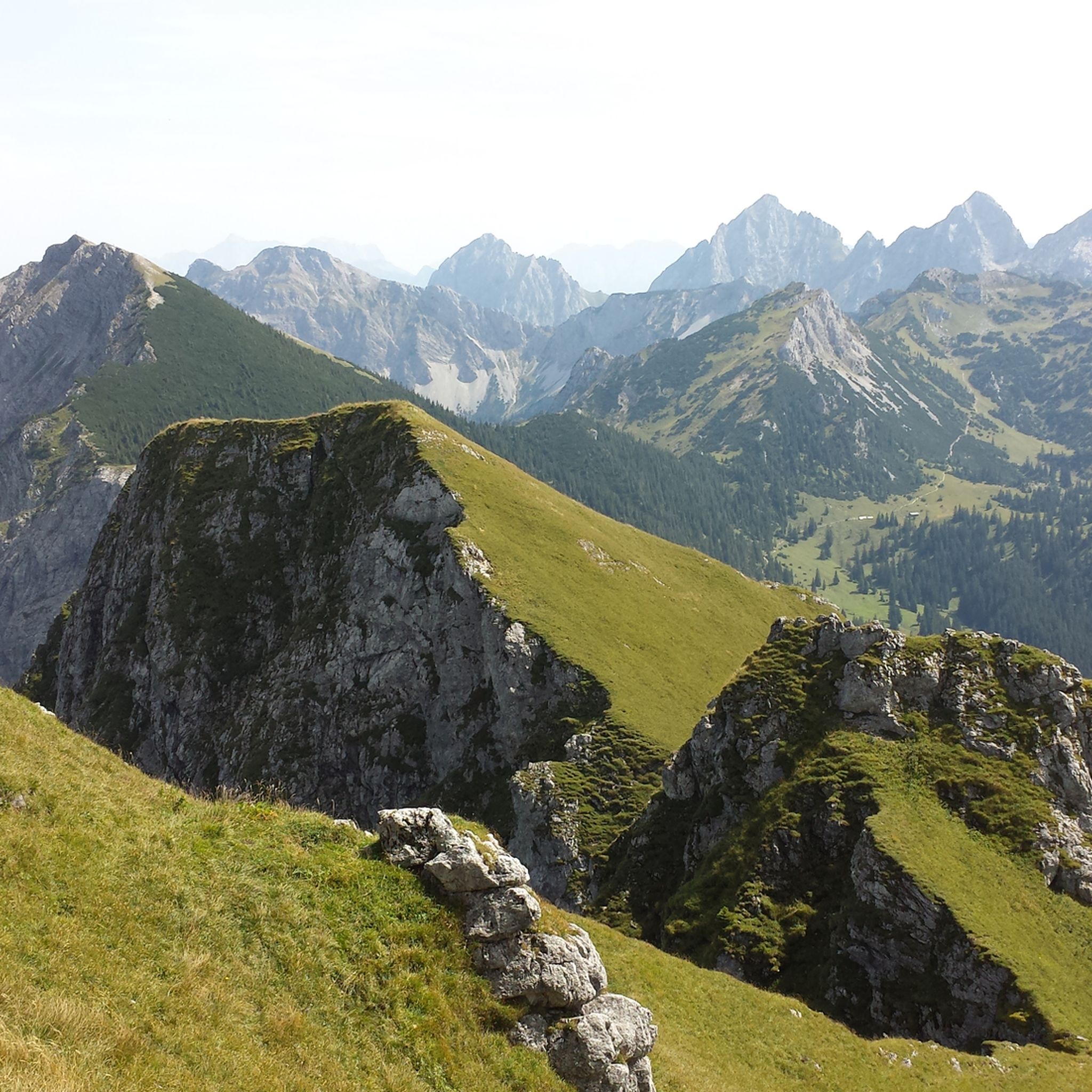
Vaellus lähellä Grän
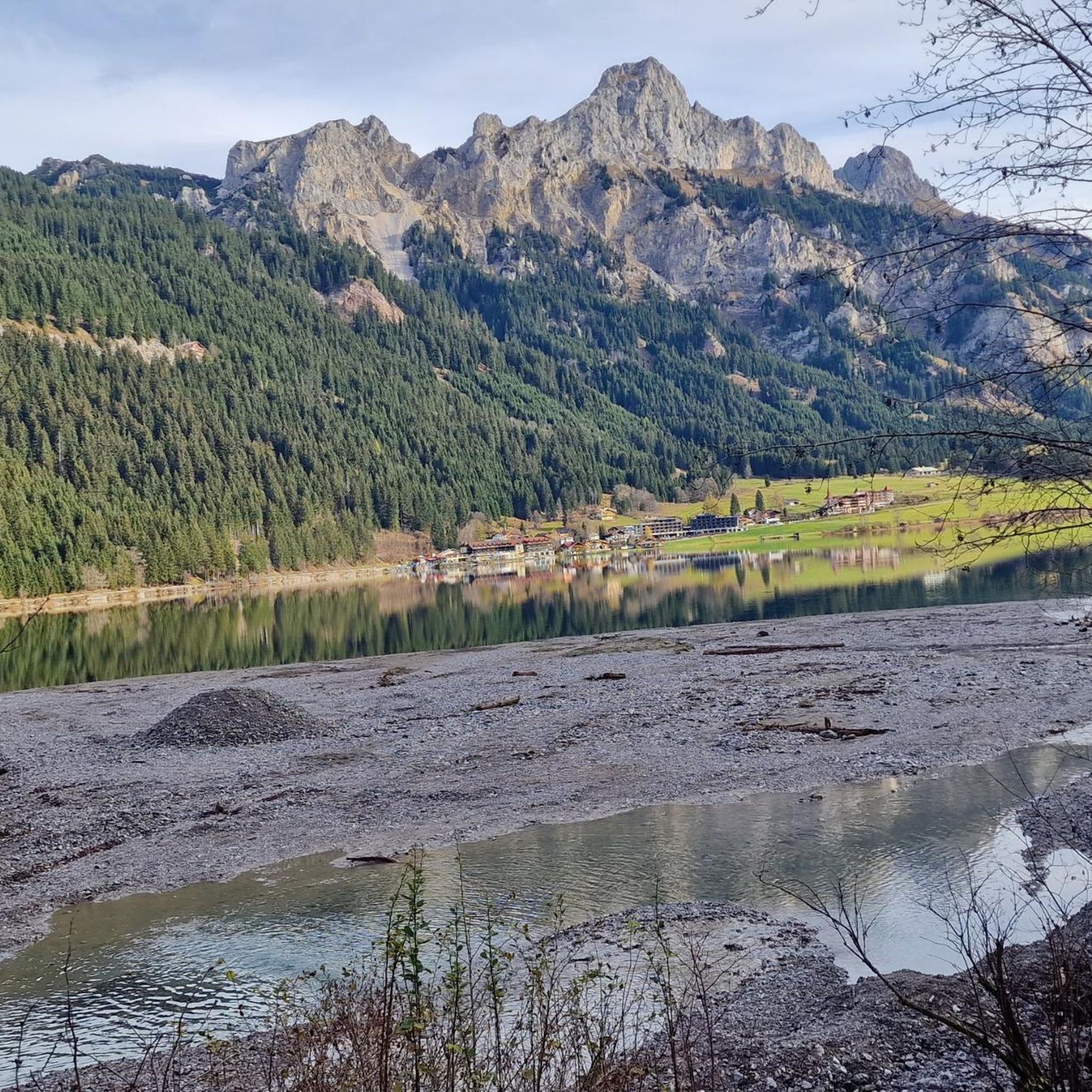
Pyöräilyreitit lähellä Grän
Muita seikkailuja lähellä Grän


Vinkkejä yhteisöltä

Unfortunately, the Iseler is usually completely overcrowded thanks to the cable car underneath
3
0

The steep gravel path up is torture, but the view is worth it.
4
0

Breathtaking views of the surrounding mountains and the valley. A truly royal feeling! 😉 From the complex there is a great view of the Vilstal valley below and the peaks of the Tannheimer group.
5
0

The 1838 meter high Breitenberg near Pfronten is a relatively easy mountain to climb, and from the summit it offers a beautiful view down into the Allgäu. Several paths of varying steepness lead up in 2 - 2.5 hours, a complete crossing takes about 5 hours. An easy and long path starts on the west side north of the German-Austrian border. It is even easier to take the cable car to the saddle between Breitenberg and Aggenstein. The Ostlerhütte is right on the summit. On the steep north side is the Tirolerstadl and behind it a challenging path to the summit. In winter there is a ski area on the Breitenberg. Source: https://allgaeu-erleben.com/0404-breitenberg.php
4
0

Managed and in a good location
6
0

Great view on both sides of the ridge. Mountain panorama in the south, wide view of the Allgäu to the north
5
0

Suosituimmat reitit lähellä Grän
Suosituimmat nähtävyydet lähellä Grän

Inspiroidu komoot-mobiilisovelluksella


Tutustu lisää
Näe vielä lisää upeita huippuja lähellä Grän näiden oppaiden avulla:
