20 parasta järveä lähellä Westerwald
Etsitkö parhaita järviä lähellä Westerwald? Ei ole mitään parempaa kuin järvenrannan rauha — tai nopea pulahdus lämpimällä säällä. Selaa listaamme Westerwaldn parhaista järvistä, komoot-yhteisön suosittelemana, ja koe lisää seuraavalla retkellesi!
Viimeksi päivitetty: 20. heinäkuuta 2026
View of Drachenfels
Highlight • Näköalapaikka
Käännetty: Google •

Drei-Seen-Blick Viewpoint
Highlight • Näköalapaikka
Käännetty: Google •

Rekisteröidy nyt löytääksesi tällaisia paikkoja
Saat suosituksia parhaista single track -reiteistä, huipuista ja monista muista jännittävistä ulkoilukohteista.
Rekisteröidy ilmaiseksi
Siegaue Nature Reserve
Highlight • Luonnonmuodostelma
Käännetty: Google •

Wooden Boardwalks at Dreifelder Weiher
Highlight • Silta
Käännetty: Google •

Dreifelder Weiher
Highlight • Järvi
Käännetty: Google •

Krombachtalsperre
Highlight • Järvi
Käännetty: Google •

View of Dornheckensee
Highlight • Näköalapaikka
Käännetty: Google •

NABU Observation Hut at Krombachtalsperre Nature Reserve
Highlight • Vuorimaja
Käännetty: Google •

Wiesensee
Highlight • Järvi
Käännetty: Google •

Weilberg Quarry
Highlight • Luonnonmuistomerkki
The highlight is on the tour "Weg der …
Käännetty: Google •
Rekisteröidy ilmaiseksi ja löydä vielä enemmän järviä lähellä Westerwald.
Rekisteröidy ilmaiseksi
Onko sinulla jo tili?
Aloita tänään ilmaisella tilillä
Seuraava seikkailusi odottaa.
Kirjaudu sisään tai rekisteröidy
Suosittua lähellä Westerwald
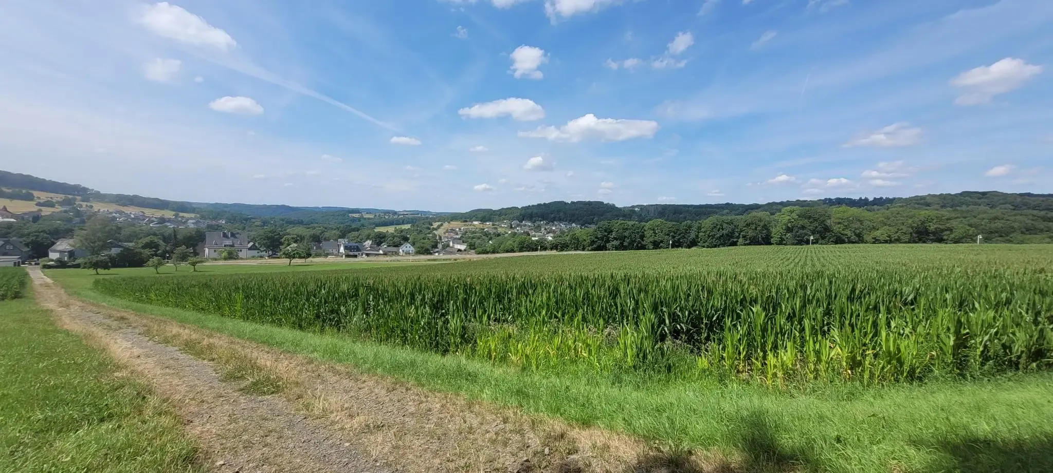
Hiking on the Cologne Trail – Discover nature close to the city
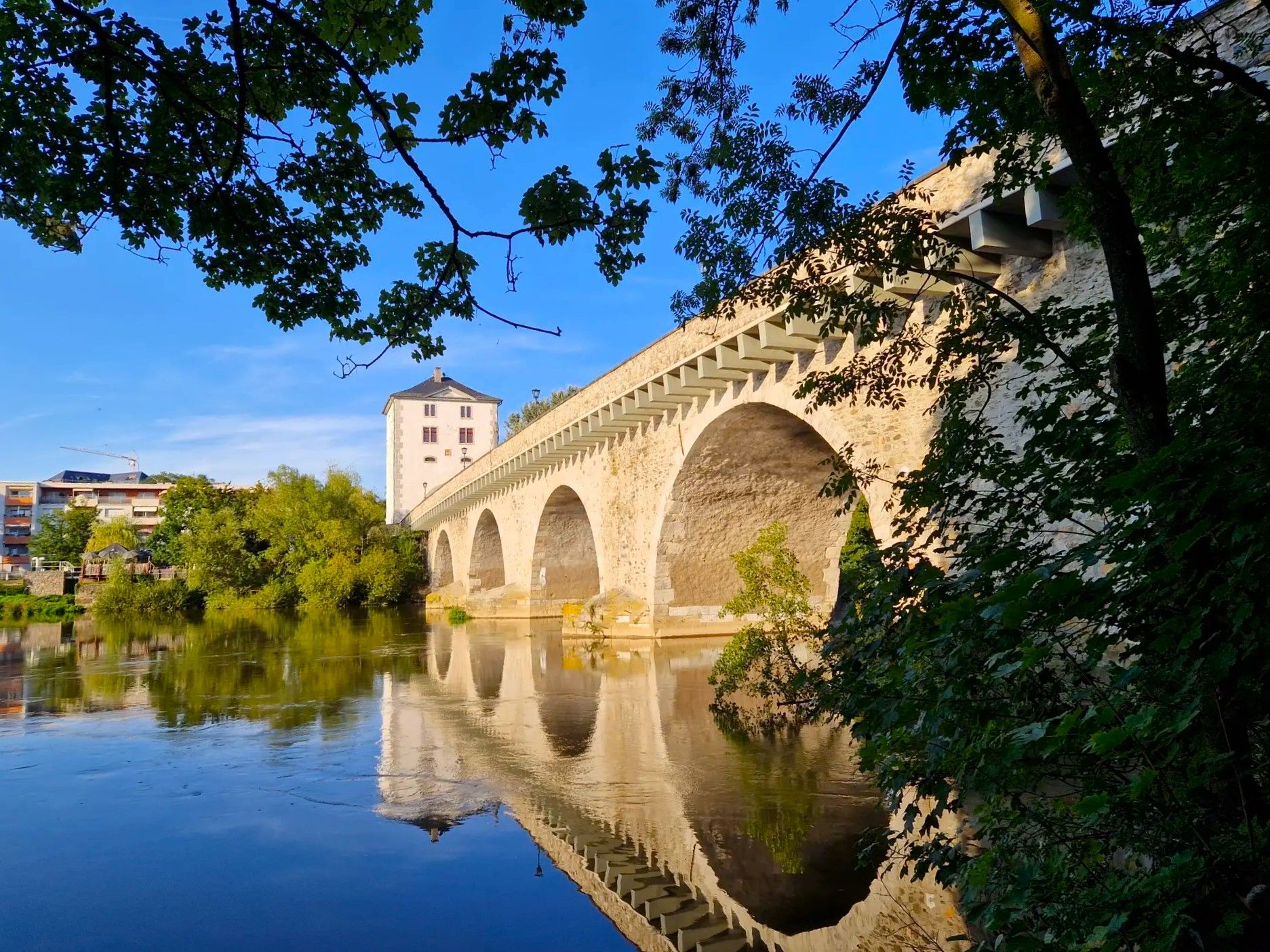
Lahnwanderweg Trail – The Lahn from its source to the estuary
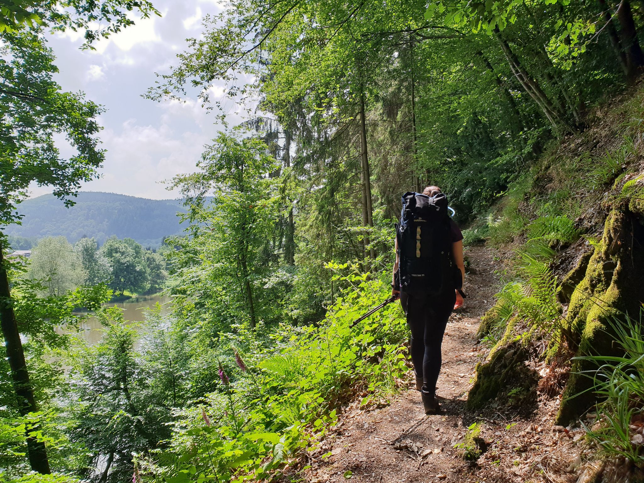
Sieg Nature Trail – Pure nature
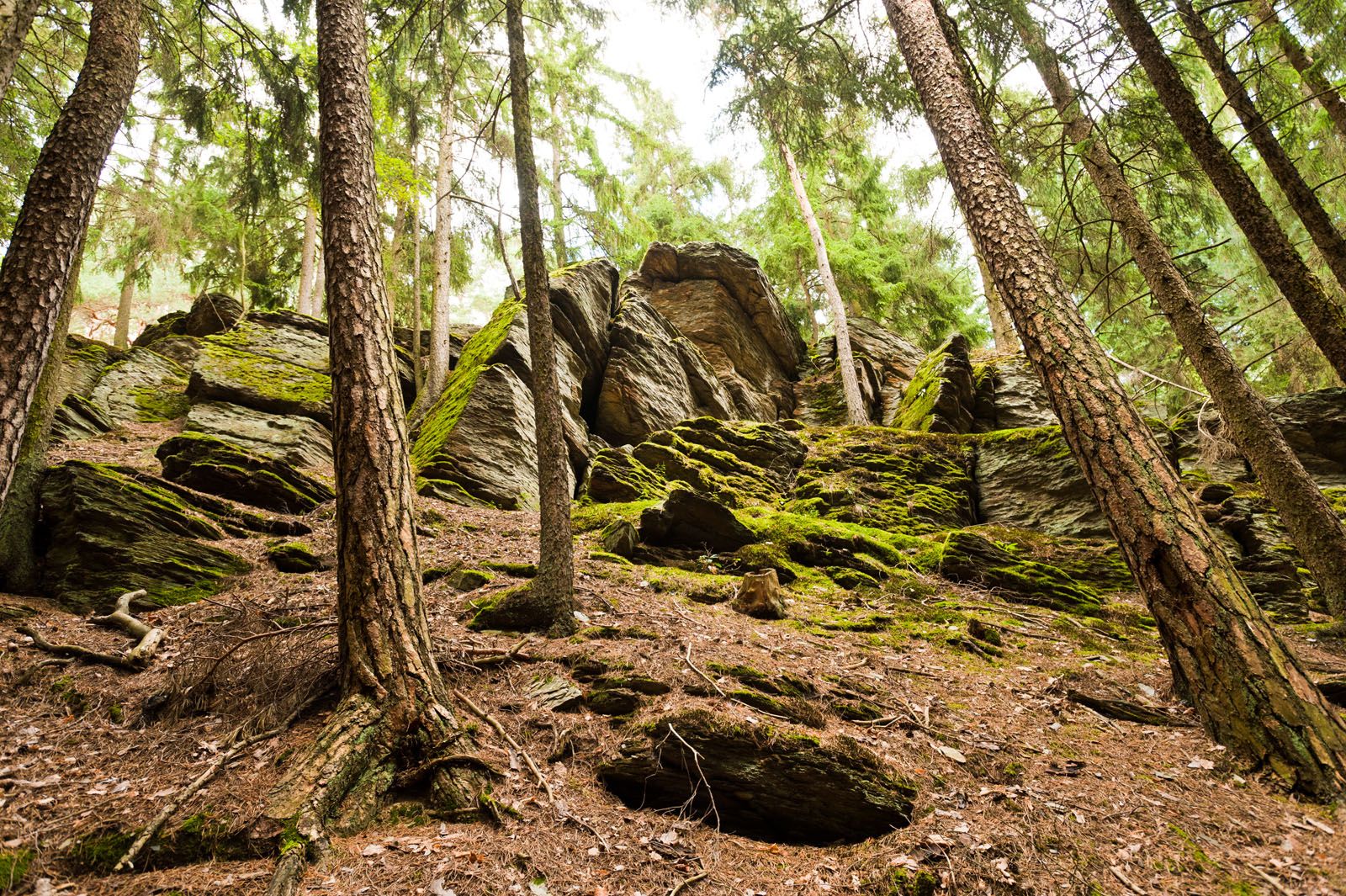
Lahn-Dill-Bergland-Pfad – Hiking trail
Siegerland-Höhenring – A classic in six stages
Siegerland-Höhenring – Discover a classic in 6 days
Hike Germany's Druid Trail – Legends, myths and mining

German Limes Cycle Path – Riding from the Rhine to the Danube
Lahn Cycle Path — from the Rothaar Mountains to the Rhine
Rheinsteig Trail – The 21 stages along the Rhine
Muita seikkailuja lähellä Westerwald


Vinkkejä yhteisöltä

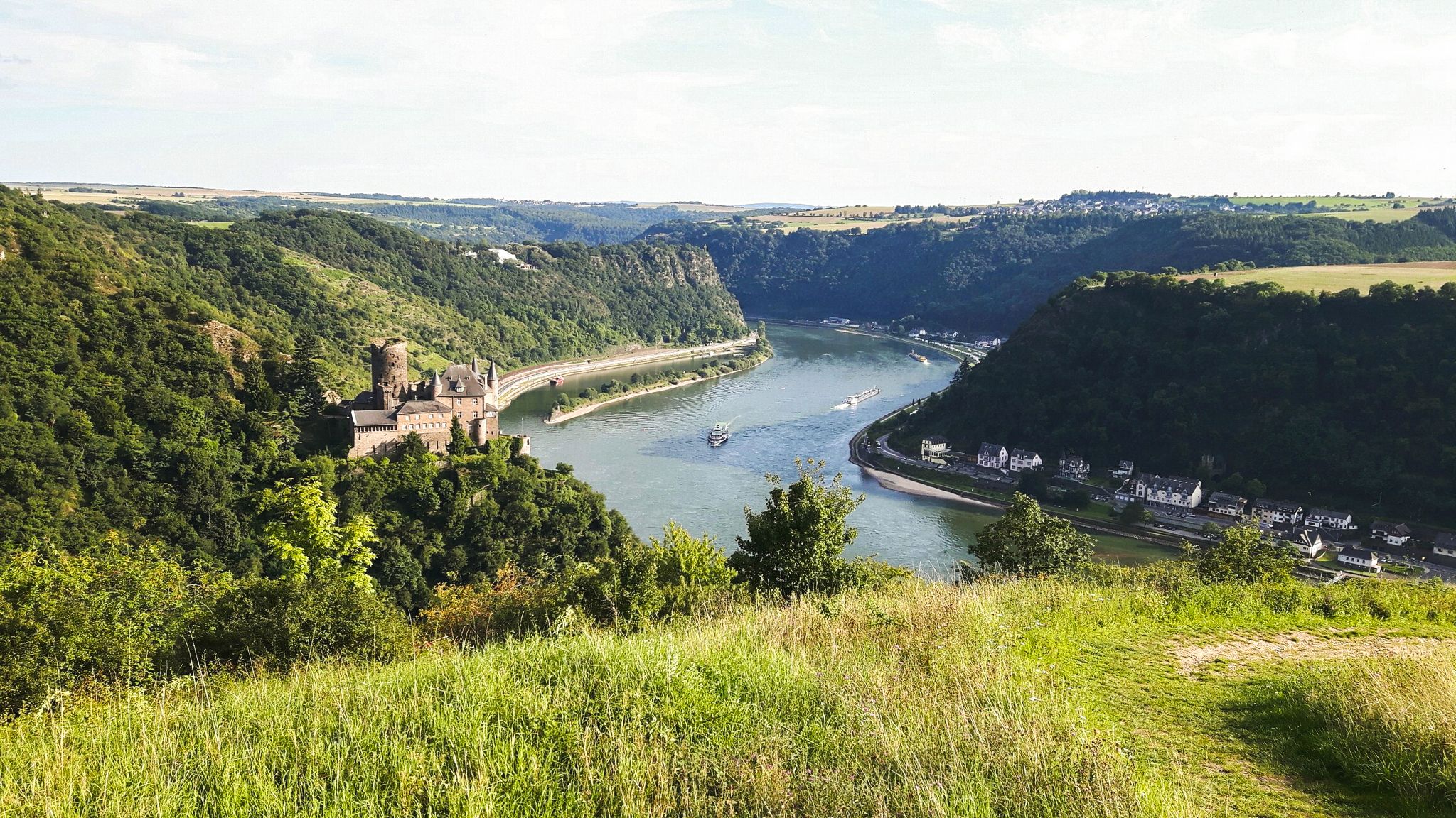
The name is once again misleading: Of course, the local hiker knows that there are by no means several lakes visible from this spot. Rather, it is the "good old Father Rhine," which can be seen several times, seen here from above.
9
0

Stop and enjoy the view over the pond
6
0

Stop at the victory ferry
7
0

The Weilberg is one of the many relics of the Siebengebirge from the time of the volcanoes that formed the landscape around 30 million years ago (Tertiary period). At that time, the volcanic activity began with a huge ash rain. Inside the earth was a huge magma focus that had created eruptions in various chimneys and crevices. Loose material was thrown explosively through these eruption sites to the earth's surface. This was deposited on the earth's surface and solidified into tuff. Lava penetrated the forming trachytuff layer and colored the tuff red at the contact zone. This can still be clearly seen today. The lava solidified into hexagonal basalt columns, often into slender columns. Later, liquid basalt penetrated the old tufa layer again in one passage and formed a "basalt tulip" at the upper end. Over the course of time, the destructive power of nature eroded the soft tuff layer through erosion, weathering and erosion. The hard layers of basalt resisted these forces and are therefore so close to the surface today that they were quarried. There are three large groups of volcanic rock in the Siebengebirge: 1. Trachyte (e.g. Drachenfels, Lohrberg) - used in the construction of Cologne Cathedral 2. Latite (e.g. Stenzelberg, Wolkenburg) - used for baroque building decoration 3. Basalts (e.g. Weilberg, Ölberg, Petersberg) - use e.g. B. for coastal reinforcement or as gravel for road and railway construction In the 19th and early 20th century, basalt was mined on the Weilberg, as in many other places in the Siebengebirge. The workers toiled for ten hours to extract the valuable stone by hand with hammers, crowbars, iron wedges or stone forks. It was particularly dangerous for the workers, who were lowered to the blast site on a rope. The extracted rock was transported to the nearby stone crushing plant. The workers loaded the mined rock into wagons and brought it down to the valley. From 1889, a narrow-gauge railway was built for transport, which led down into the Rhine Valley to the loading point on the ships. At weekends, she brought the day trippers to the Siebengebirge in passenger transport. Basalt was and is very popular for building roads, paths and railways, but also for bank and dike reinforcements (also in the Netherlands!). This quarry activity, which ended in 1942, offers the visitor a fantastic insight into times long past. Information boards give the visitor important information about the history of the origins of the volcanic landscape and the Weilberg, but also about the history of quarrying.
3
0

The Krombachtalsperre can be circumnavigated well.
7
0

This is the closed Weilberg basalt quarry.
4
0

The Krombachtalsperre extends over two federal states: the dam is in Hesse, but the larger part of the water surface is in Rhineland-Palatinate. https://de.wikipedia.org/wiki/Krombachtalsperre
7
0
Path on the dam with a view of the floodplains and the Siebengebirge
7
0
Suosituimmat reitit lähellä Westerwald
Suosituimmat nähtävyydet lähellä Westerwald

Inspiroidu komoot-mobiilisovelluksella


Tutustu lisää
Etkö vieläkään löytänyt täydellistä järveäsi lähellä Westerwald? Tutustu näiden alueiden oppaisiin nähdäksesi lisää kauniita paikkoja.
