Parhaat pyöräilyreitit lähellä Minorca
4,4
(424)
3 906
pyöräilijät
292
pyöräilyt
Pyöräily lähellä Minorca on yksi nautinnollisimmista tavoista tutustua tähän osaan aluetta Espanja. Jotta löytäisit täydellisen pyöräilyretken kohteessa Minorca, olemme käyneet läpi koko pyöräilyreitistömme alueella löytääksemme parhaat. Klikkaa kutakin reittiä nähdäksesi yksityiskohtaiset tiedot korkeusprofiileineen ja pintamateriaalitietoineen, ja selaa muiden komoot-yhteisön jäsenten lähettämiä vinkkejä ja kuvia.
Viimeksi päivitetty: 20. heinäkuuta 2026
3,4
(5)
20
pyöräilijät
This easy 16.3-mile circular touring cycling route offers coastal views, historical sites like Torre de Alcaufar, and diverse Menorcan scene
3,8
(5)
27
pyöräilijät
Vaativa pyöräily. Vaatii erittäin hyvää kuntoa. Pääosin päällystettyjä pintoja. Sopii kaikentasoisille.

Rekisteröidy ilmaiseksi
1,5
(2)
4
pyöräilijät
Cycle the easy 17.2-mile Ciutadella Coastal Loop via Camí de Cavalls, enjoying coastal views and beaches like Cala Blanca.
3,0
(1)
15
pyöräilijät
Vaativa pyöräily. Vaatii erittäin hyvää kuntoa. Saatat joutua taluttamaan pyörääsi joillakin reitin osuuksilla.
4,0
(1)
10
pyöräilijät
Kohtalainen pyöräily. Vaatii hyvää kuntoa. Pääosin päällystettyjä pintoja. Sopii kaikentasoisille.
Saat pääsyn useampiin reitteihin ja suosituksiin muilta retkeilijöiltä.
Rekisteröidy ilmaiseksi
Onko sinulla jo tili?
Reittisuosituksemme perustuvat tuhansiin komootissa muiden käyttäjien tekemiin vaelluksiin, pyöräilyihin ja juoksuihin.
Aloita tänään ilmaisella tilillä
Seuraava seikkailusi odottaa.
Kirjaudu sisään tai rekisteröidy
Suosittua lähellä Minorca
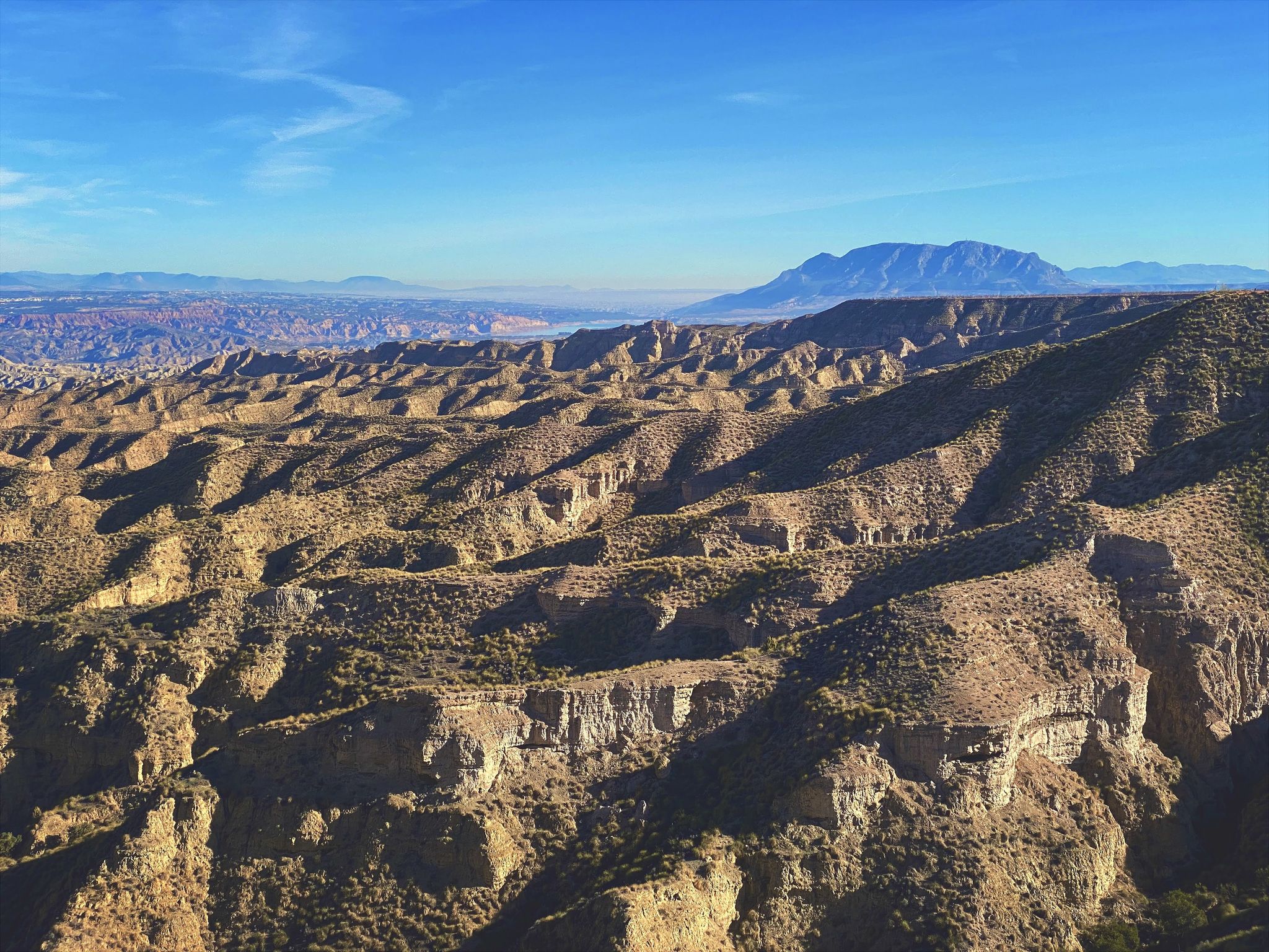
Discover Spain by gravel — a selection of must-see routes
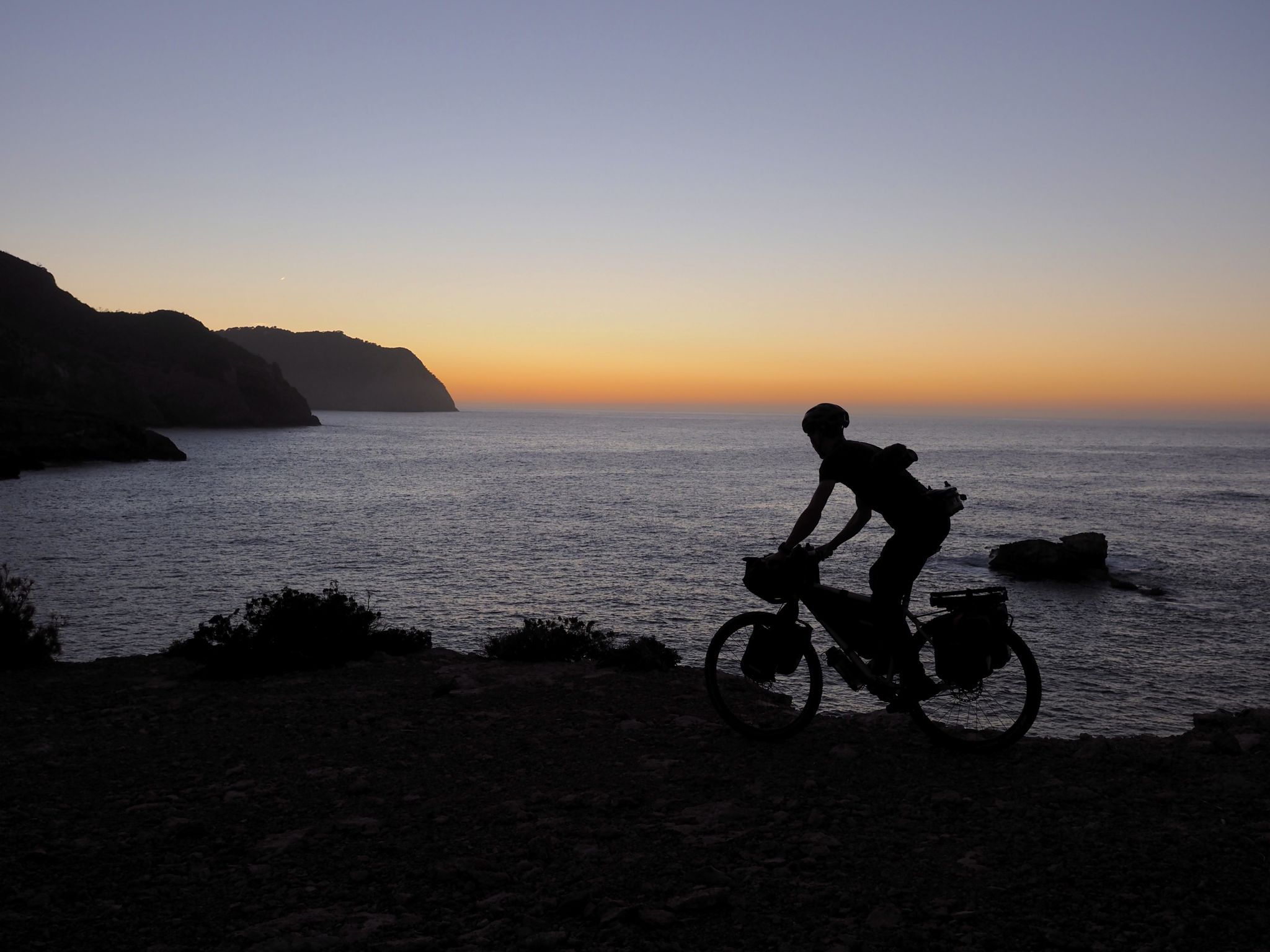
Island hopping in the Spanish Balearic Islands — the TransBaleares
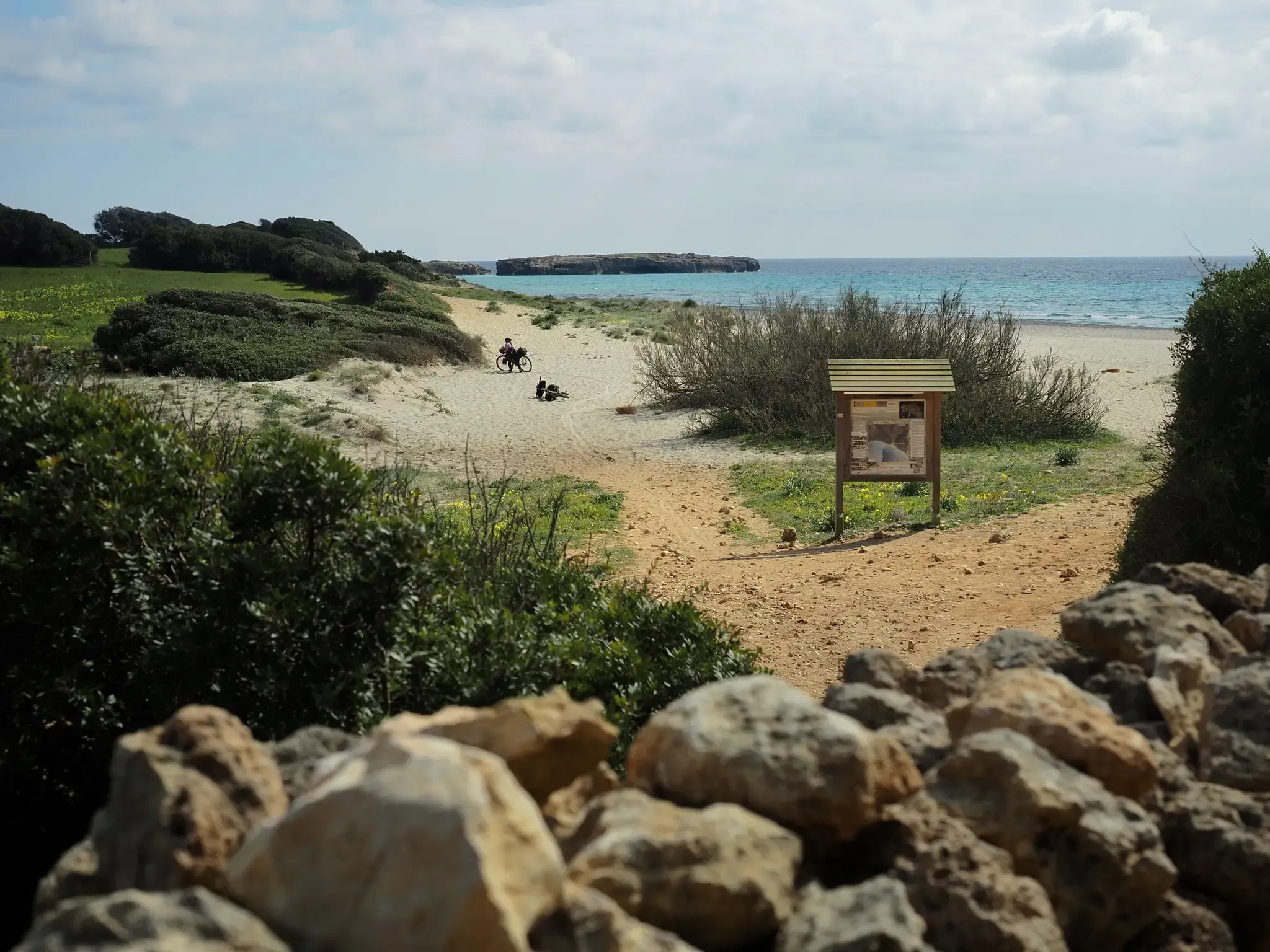
MTB adventure in Menorca – Camí de Cavalls (GR 223)
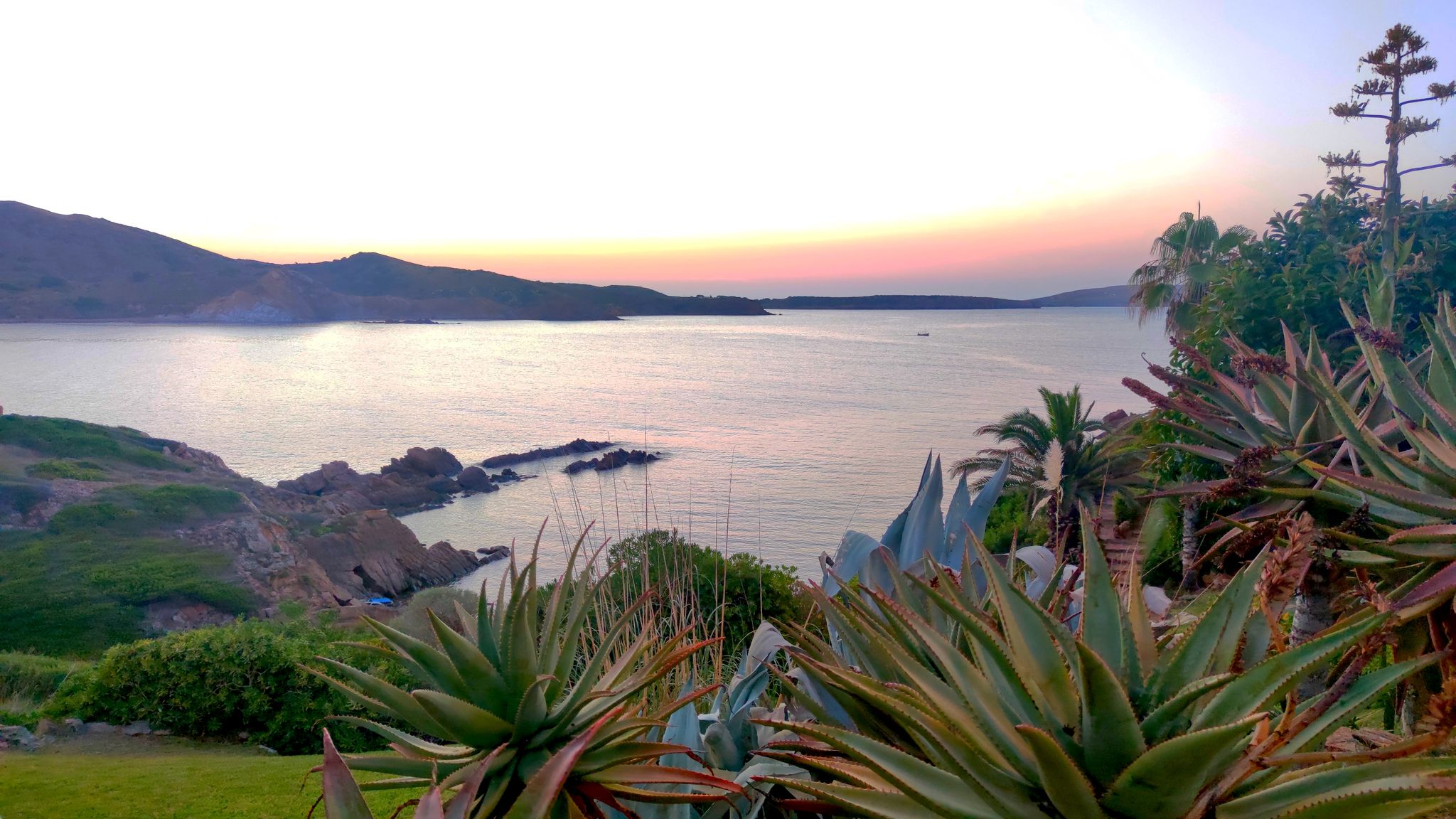
Menorca's turquoise waters and red rocks — Camí de Cavalls (GR223)
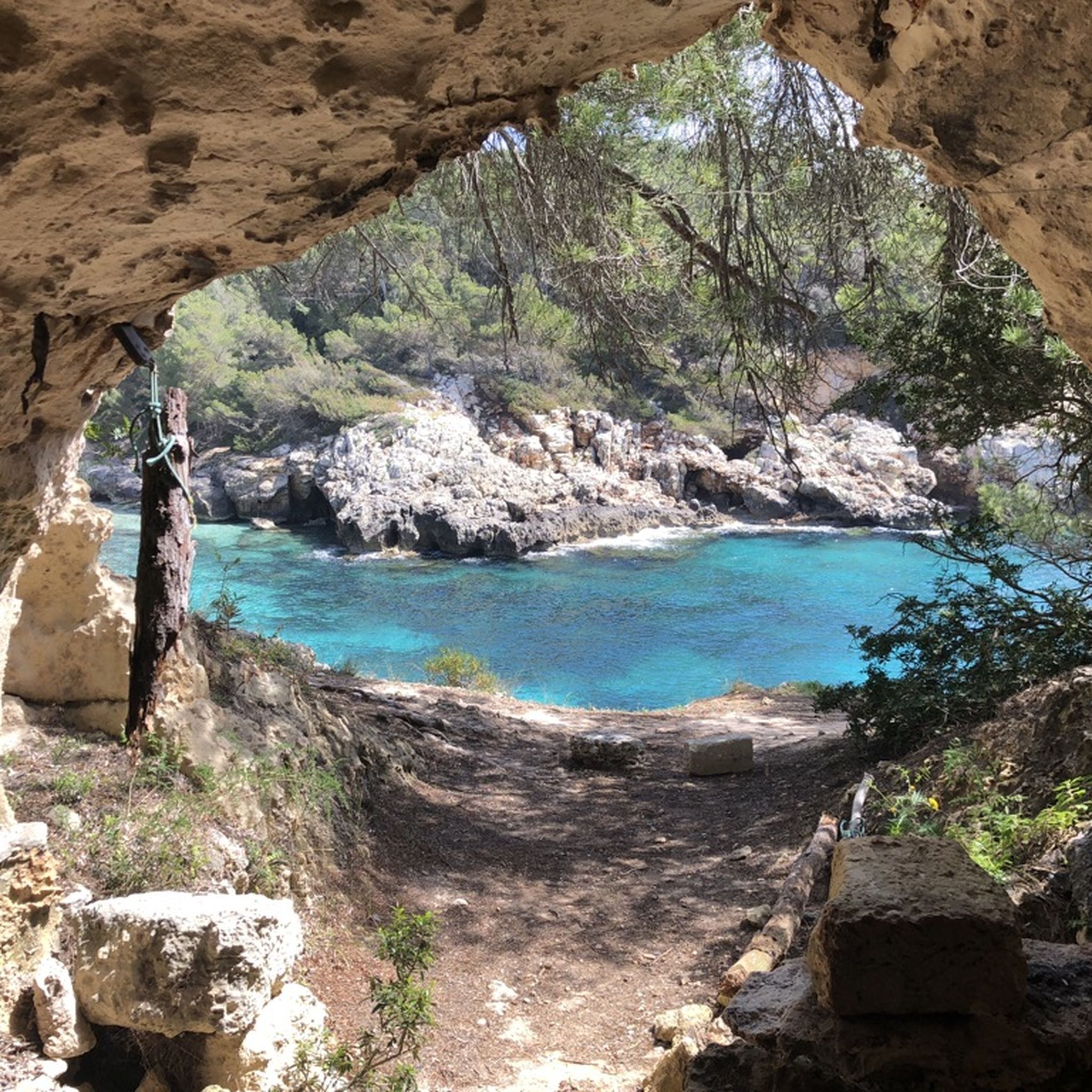
Vaellus lähellä Minorca
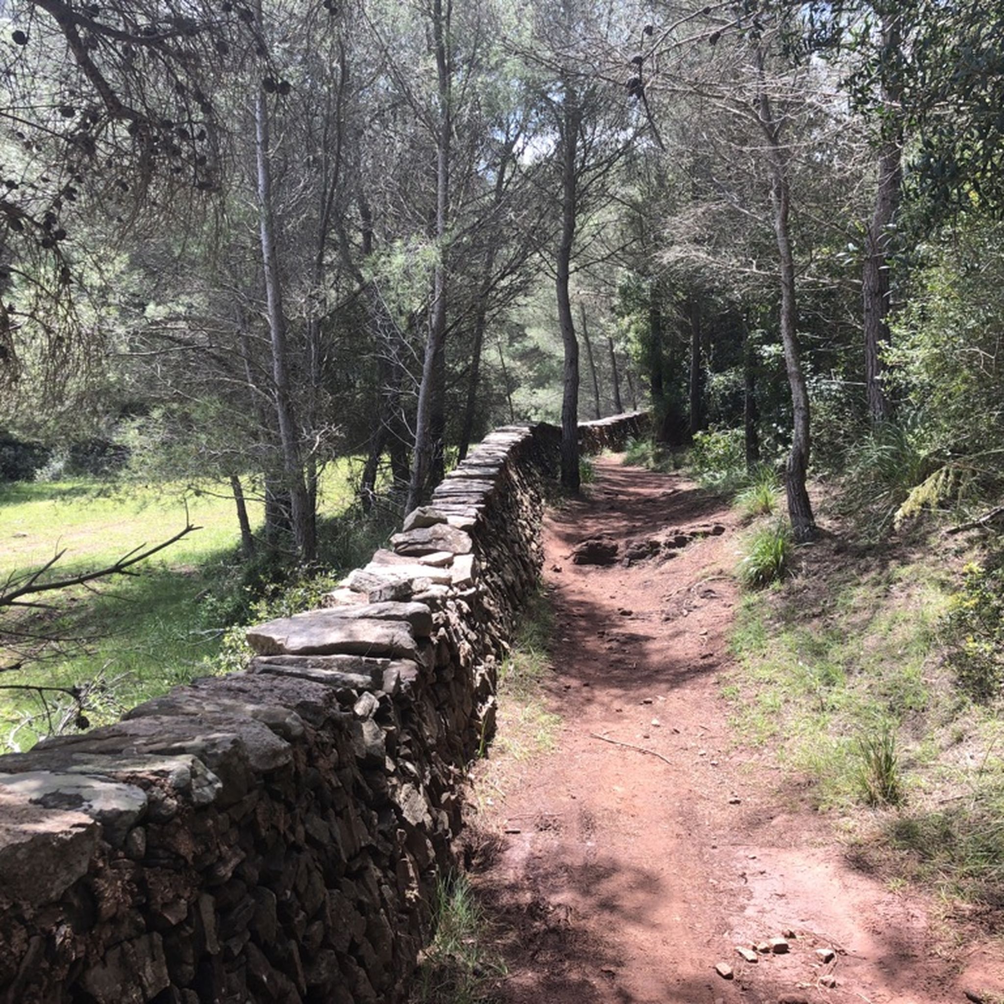
Maastopyöräilyreitit lähellä Minorca
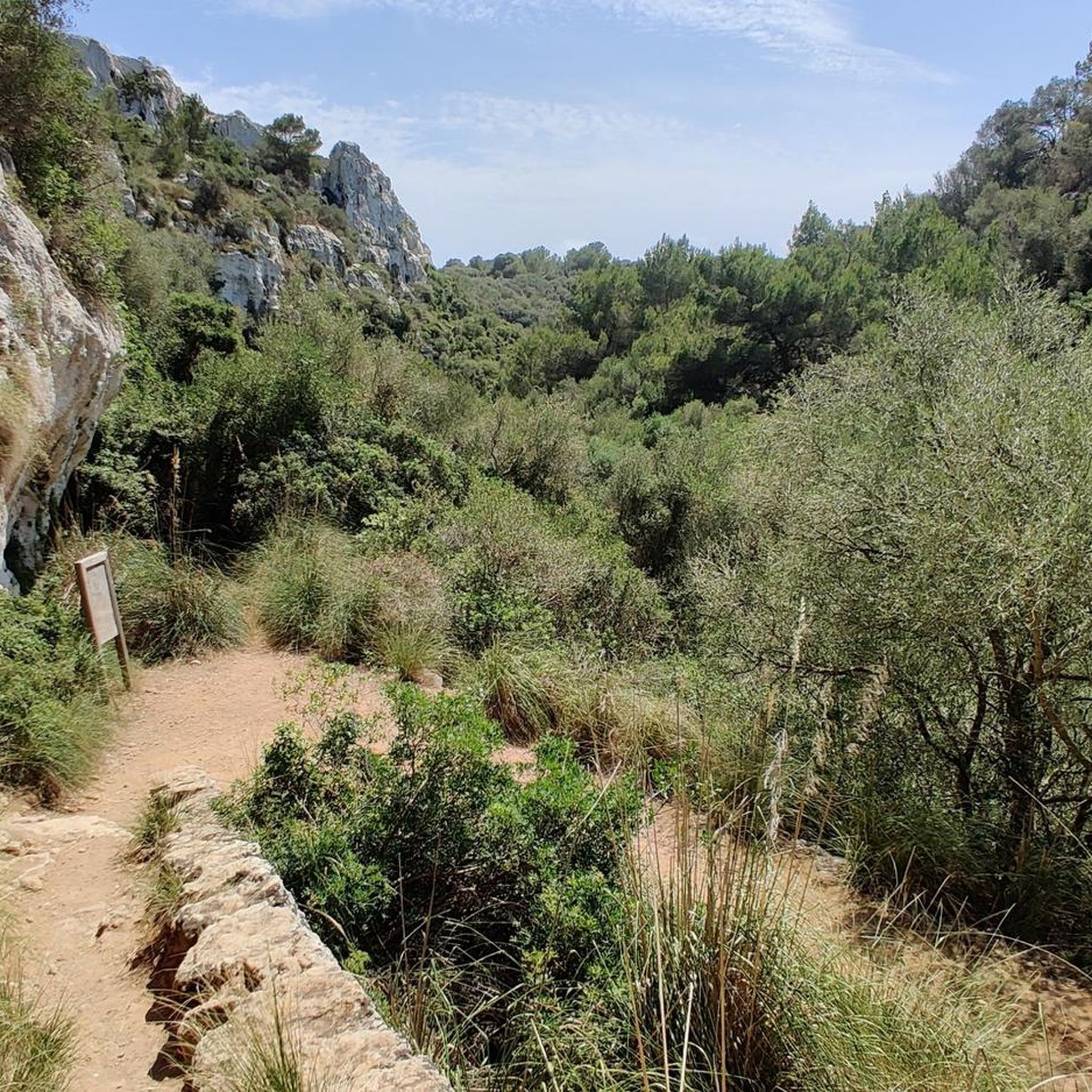
Juoksureitit lähellä Minorca
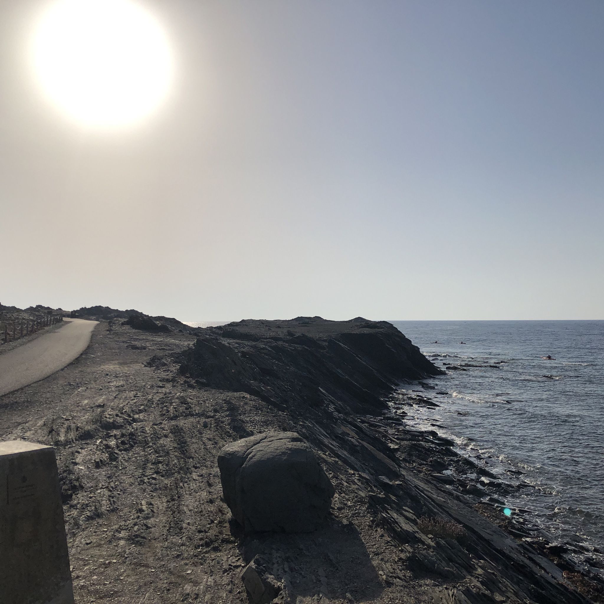
Maantiepyöräilyreitit lähellä Minorca

Gravel-pyöräily lähellä Minorca
Muita seikkailuja lähellä Minorca


Vinkkejä yhteisöltä


One of the most iconic and wild corners of the island, surrounded by lunar landscapes, black rocks and turquoise sea. The black and white lighthouse contrasts with the harsh terrain and the constant wind gives it an air of adventure. By mountain bike, the access road is short but with stony sections and exposed to the sun; it is best to bring water and avoid the central hours of the day. Tip: get there early or at dusk - the light and silence of the place make it seem like another planet.
0
0

The central talayot is one of the largest on the island
5
0

Beautiful Taiolotic site, with beautiful remaining ruins, a "taialot" still present dominating the site and above all a superb "Taula", standing stone!
0
0
Enjoy these paths and landscapes because soon (near Cala Morell to Ciudadela) you will ride through a lunar and super stony landscape that you will remember for life.
1
0
It is one of the most impressive prehistoric sites in Menorca, notable for its monumental table, one of the best preserved on the island, with an inclined slab resting on the central monolith. It dates from the Talayotic period (1000 BC) and has talayots, caves carved into the rock, houses, cyclopean walls and a ceremonial enclosure. Accessible by mountain bike or gravel, it is ideal for a cycle tour combined with other nearby sites such as Torre d'en Galmés or Naveta des Tudons. An essential place to discover the Talayotic history of Menorca. 🚴♂️
0
0
The village was home to generations of peasant families who based their economy on the control of flocks of goats, sheep, cows and pigs, complemented by the cultivation of cereals and legumes. Towards the 5th century BC, transformations took place in the Talayotic society, possibly related to the exchange of products and knowledge with the Carthaginian world, mainly through ships from the Punic colony of Ibiza. The original structure of the village was altered in 1781, when the Duke of Crillón established his military camp there during the siege of the Castle of San Felipe by Franco-Spanish troops, which was defended by the English army.
3
0
The great talayot, with a base measuring 26 metres in diameter, is one of the largest in the Balearic Islands. Through various archaeological interventions, it has been determined that the chronology of the settlement spans from the beginning of the Talayotic period (1200 BC) to the 3rd century BC, when it was violently destroyed and abandoned during the Second Punic War between the Romans and the Carthaginians. Some spaces continued to be used in the Andalusian period (902-1287).
3
0
Suosituimmat reitit lähellä Minorca
Suosituimmat nähtävyydet lähellä Minorca

Inspiroidu komoot-mobiilisovelluksella


Tutustu lisää
Selaa muissa alueissa olevia parhaimpia Pyöräilyreitit-kohteita.
