17 upeinta vuorenhuippua lähellä Montagut I Oix
Olipa kyse näkymistä tai haasteesta, vuorenhuippujen valloittaminen lähellä Montagut I Oix on paras tapa kokea enemmän tästä kauniista alueesta. Mutta 17
valittavana voi olla vaikea tietää, minkä huipun valita. Siksi olemme koonneet parhaat huiput lähellä Montagut I Oix sinulle tänne — jotta voit helposti lisätä yhden seuraavaan seikkailuusi.
Viimeksi päivitetty: 3. elokuuta 2026
Mare de Déu del Mont Summit
Highlight • Huippu

Puig de Bassegoda
Highlight • Huippu
Käännetty: Google •

Rekisteröidy nyt löytääksesi tällaisia paikkoja
Saat suosituksia parhaista single track -reiteistä, huipuista ja monista muista jännittävistä ulkoilukohteista.
Rekisteröidy ilmaiseksi
Santa Bàrbara de Pruneres
Highlight • Uskonnollinen paikka
Käännetty: Google •

Montsacopa Volcano
Highlight • Tulivuori
Käännetty: Google •

Hermitage of Sant Antoni
Highlight • Uskonnollinen paikka
Käännetty: Google •

Rekisteröidy ilmaiseksi ja löydä vielä enemmän huippuja lähellä Montagut I Oix.
Rekisteröidy ilmaiseksi
Onko sinulla jo tili?
Aloita tänään ilmaisella tilillä
Seuraava seikkailusi odottaa.
Kirjaudu sisään tai rekisteröidy
Suosittua lähellä Montagut I Oix
Ports and Roads — Catalonia on Wheels

Catalonia and Andorra on the Pyrenean Trail – GR 11
From the Mediterranean to the Pre-Pyrenees – Historical Path in Catalonia (GR 1)
Vaellus lähellä Montagut I Oix
Maantiepyöräilyreitit lähellä Montagut I Oix
Juoksureitit lähellä Montagut I Oix
Pyöräilyreitit lähellä Montagut I Oix
Maastopyöräilyreitit lähellä Montagut I Oix

Gravel-pyöräily lähellä Montagut I Oix

Vuoristovaellus lähellä Montagut I Oix
Muita seikkailuja lähellä Montagut I Oix


Vinkkejä yhteisöltä

At 1,373 meters high, the Puig de Bassegoda is located on the border between the regions of La Garrotxa and Alt Empordà. The climb accumulates a lot of positive unevenness in a short distance. For this reason, in the last section it has staples and chains to help itself.
2
1

Volcà del Montsacopa is an extinct volcano that died out 100,000 years ago. Running here is not easy because it is steep uphill or downhill, but the views are worth it. The crater is full of rabbits (at least there were when I visited) in the late afternoon and there are many nice trails around it. There is a church and a tower there too. If you visit Olot it is an easy walk that you must do.
0
0

Monastery from the year 1702 located at the top of the Col de la Brossa near Camprodon. From there you have a panoramic view of the surrounding villages and mountains.
0
0

the views upon arrival pay for all the effort of the climb
3
0

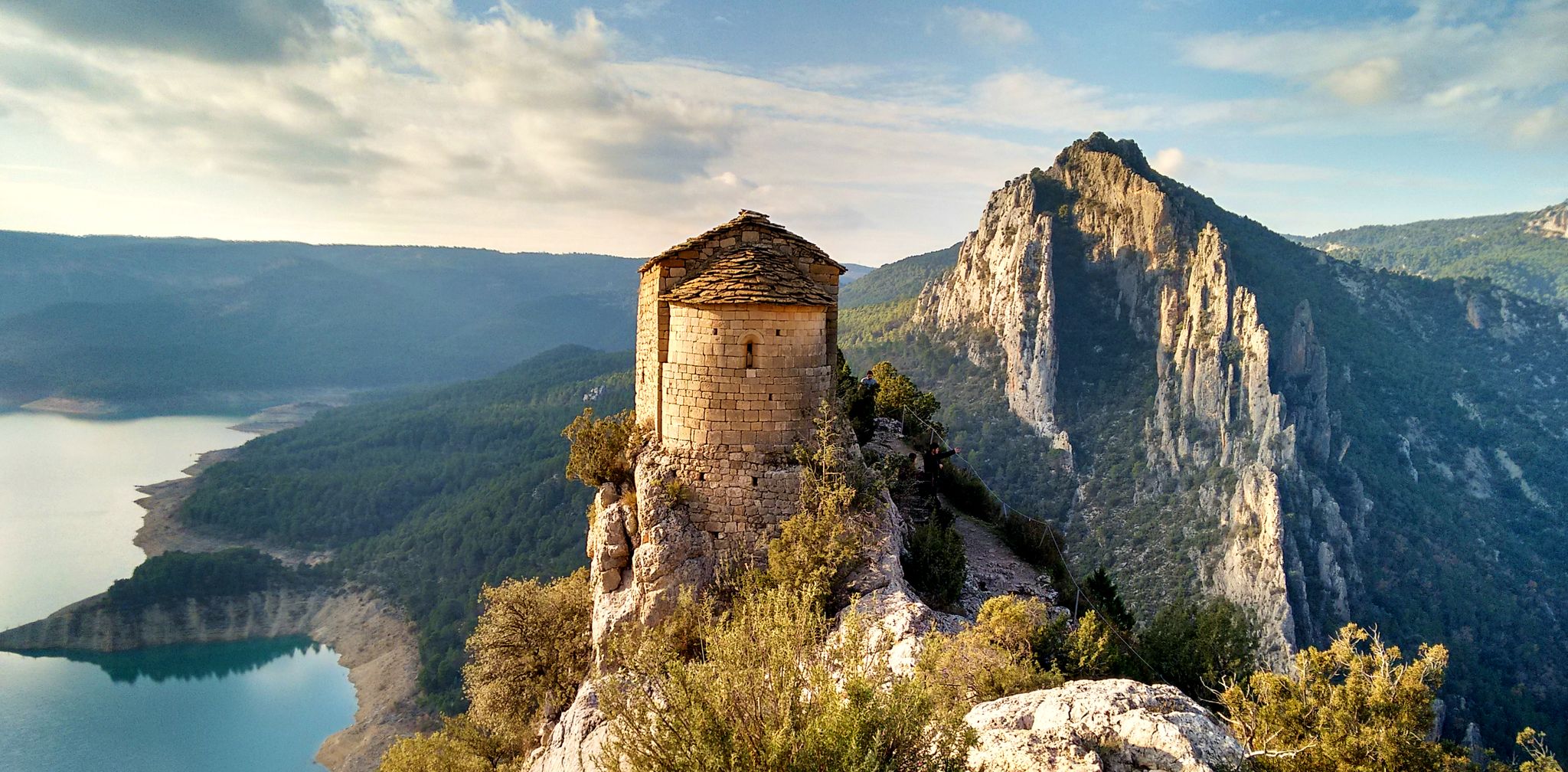
It is a building dating from the twelfth or early thirteenth century, although it probably existed before an earlier church. The word Prunarias appears in a document from the year 966 as belonging to Sant Pere de Camprodon. The building is mentioned again in 1017. It seems that from shortly after 966 it belonged to the priory of Santa Maria del Coll de Panissars, a situation that must have been maintained until the beginning of the 17th century. In 1617 the church was joined to that of Sant Llorenç d'Oix. In 1661 there were 3 altars: the one of Santa Bàrbara, the one of Santa Caterina and the one of Sant Bartomeu. The church was damaged during the Civil War of 1936-39. The whole complex was completely restored between 1972-1979 by the Friends of Alta Garrotxa. Inside, different artistic pieces were kept, such as a tombstone representing the burial of a lady from the castle of Bestracà, which was damaged during the riots of 1936. Some of the fragments were deposited in the Museum of Olot by Dr. Joaquim Danès. Until the end of the 19th century, a Romanesque carving was venerated there, today deposited in the Museu d'Art de Catalunya, from the Plandiura collection. The fragments of an altarpiece representing the life of the saint are kept in the Parish Museum of Olot. From 1972 to 1981, restoration work was carried out, which meant that the building built on the nave during the 17th and 18th centuries was abandoned, as well as the one that turned the old belfry into a tower, rebuilt after a lightning strike. destroyed it in September 1978.
0
1
Its characteristic pointed shape, its height and the fact that it is isolated from other nearby peaks make it easily identifiable. At the foot of the Bassegoda hill on its north-eastern slope, the Borró river, a tributary of the Fluvià, is born. It is actually two peaks separated by a gap. The western one (1363m) is called Taula d'en Gustí and the eastern one (1373m), Taula d'en Sala and is what is properly considered the summit. It seems that the toponym Bassegoda comes from two Basque words: basa, which means 'wilderness, desert', and goiti, which means 'summit, height'; thus Basagoiti would mean 'barren peak', referring to being an absolutely rocky lookout but with excellent 360º views from the Gulf of Roses to Canigó.
2
2

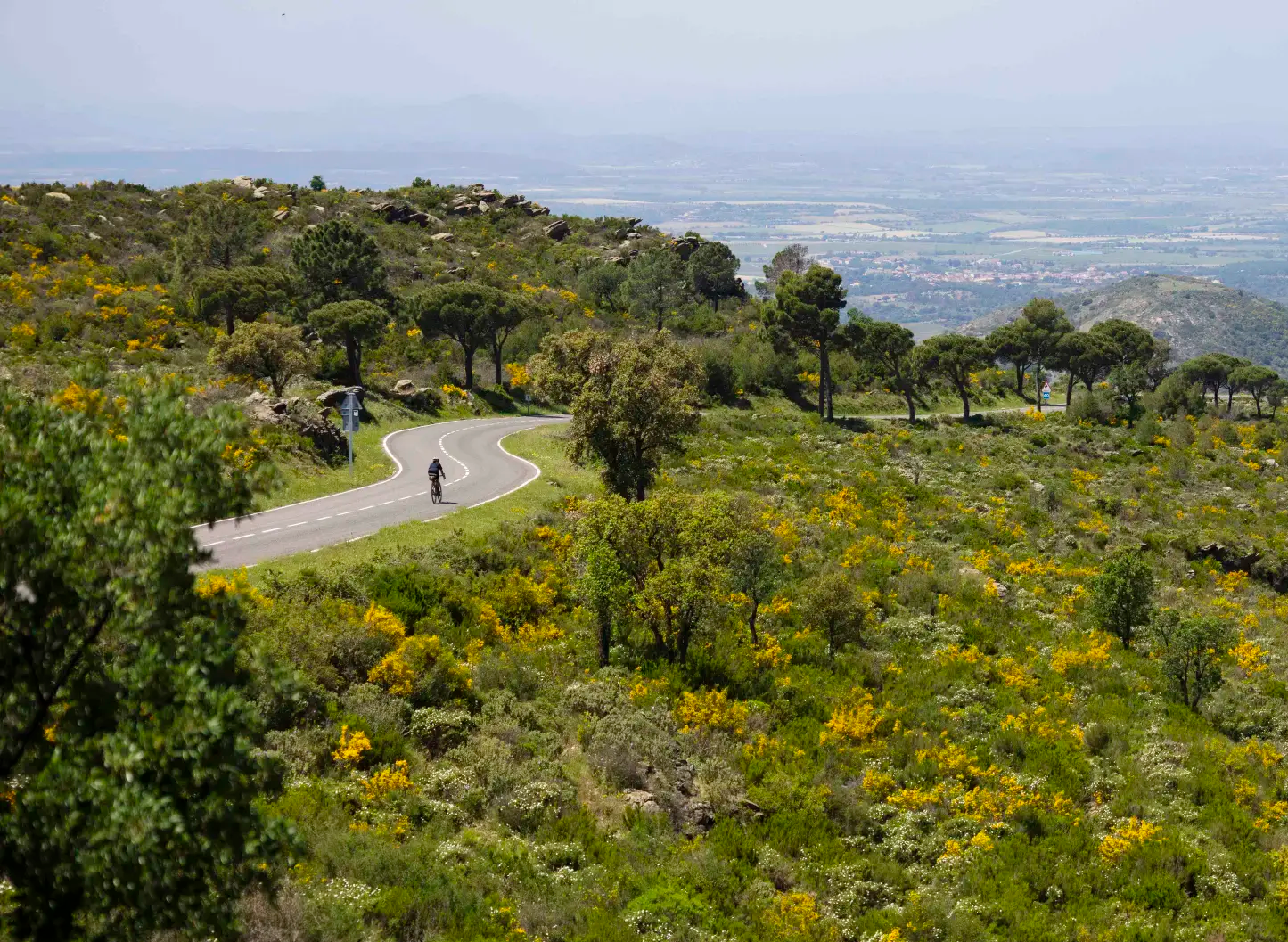
This is a tough 18km climb thats starts out easy and then gets a lot steeper with about 10km to go. Persist and you'll be rewarded with one of the most incredible views of the region, and a cafe that feels like it is in the sky.
4
0

Great mountain, very lonely, but also unrhythmic ....
3
0
Suosituimmat reitit lähellä Montagut I Oix
Suosituimmat nähtävyydet lähellä Montagut I Oix

Inspiroidu komoot-mobiilisovelluksella


Tutustu lisää
Näe vielä lisää upeita huippuja lähellä Montagut I Oix näiden oppaiden avulla:
