Τα 11 καλύτερα φυσικά μνημεία Lowick
Το τοπίο της περιοχής Lowick είναι ένα υπέροχο μέρος για εξερεύνηση — κάτι που μπορείτε να βιώσετε καλύτερα επισκεπτόμενοι ένα από τα 11
πανέμορφα φυσικά μνημεία Lowick. Για να βρείτε αυτό που σας ταιριάζει, δείτε όλες τις λεπτομέρειες που χρειάζεστε και σχεδιάστε καλύτερα την επόμενη υπαίθρια περιπέτειά σας!
Τελευταία ενημέρωση: 14 Ιουλίου 2026
Ros Castle Hill Fort
Highlight • Σημείο θέας
Συμβουλή από

Holy Island (Lindisfarne)
Highlight • Ιστορικός χώρος
Συμβουλή από

Εγγράψου τώρα για να ανακαλύψεις μέρη σαν αυτό
Λάβε προτάσεις για τα καλύτερα single tracks, κορυφές και πολλά ακόμα συναρπαστικά υπαίθρια μέρη.
Εγγραφή δωρεάν
Emmanuel Head Navigation Beacon
Highlight • Μνημείο
Συμβουλή από

Budle Bay
Highlight • Σημείο θέας
Συμβουλή από

St Cuthbert's Cave
Highlight • Σπήλαιο
Συμβουλή από

Εγγράψου δωρεάν για να ανακαλύψεις ακόμα περισσότερα φυσικά μνημεία Lowick.
Εγγραφή δωρεάν
Έχεις ήδη λογαριασμό;
Ξεκίνα σήμερα με έναν δωρεάν λογαριασμό
Η επόμενη περιπέτειά σου σε περιμένει.
Σύνδεση ή εγγραφή
Συμβουλές από την κοινότητα

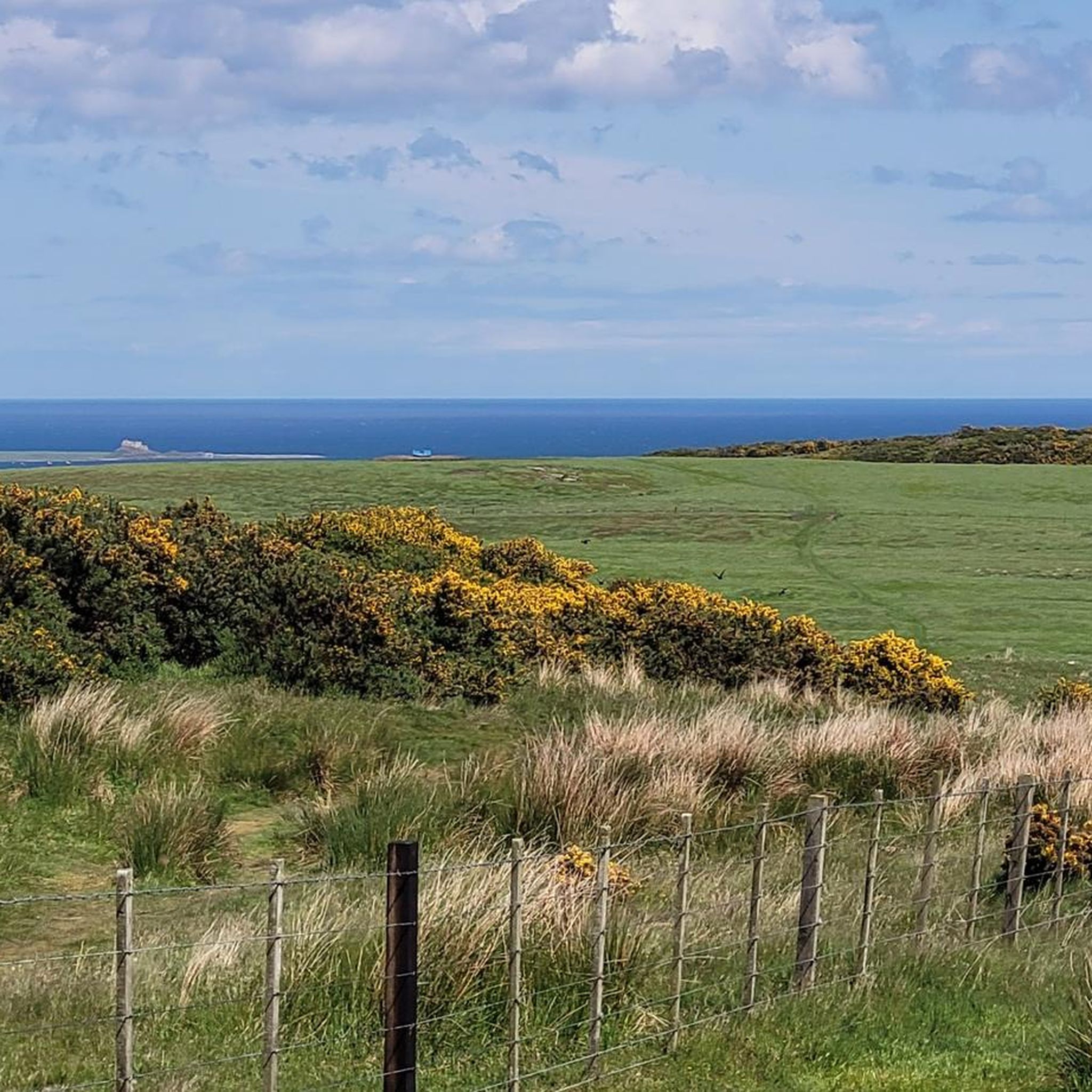
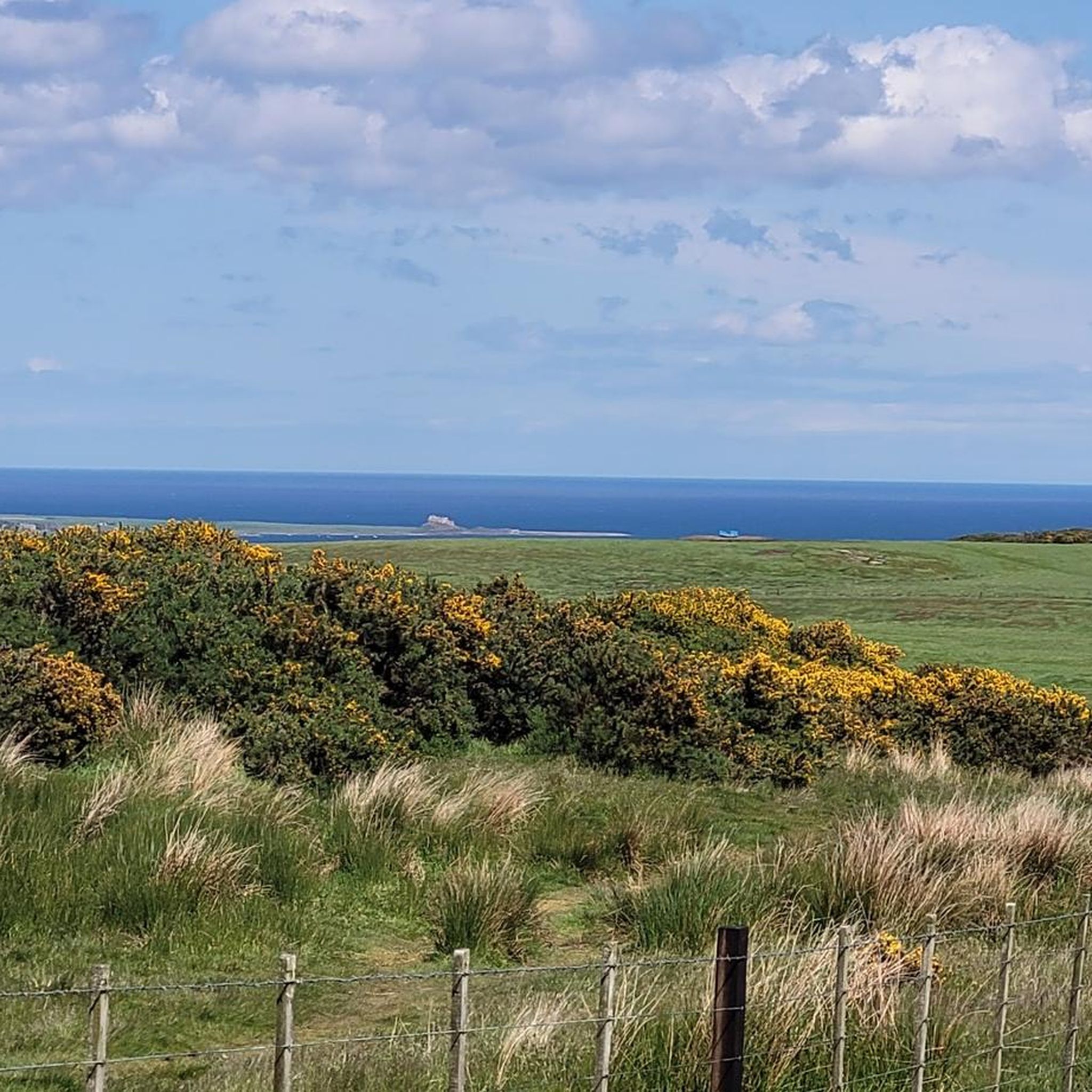
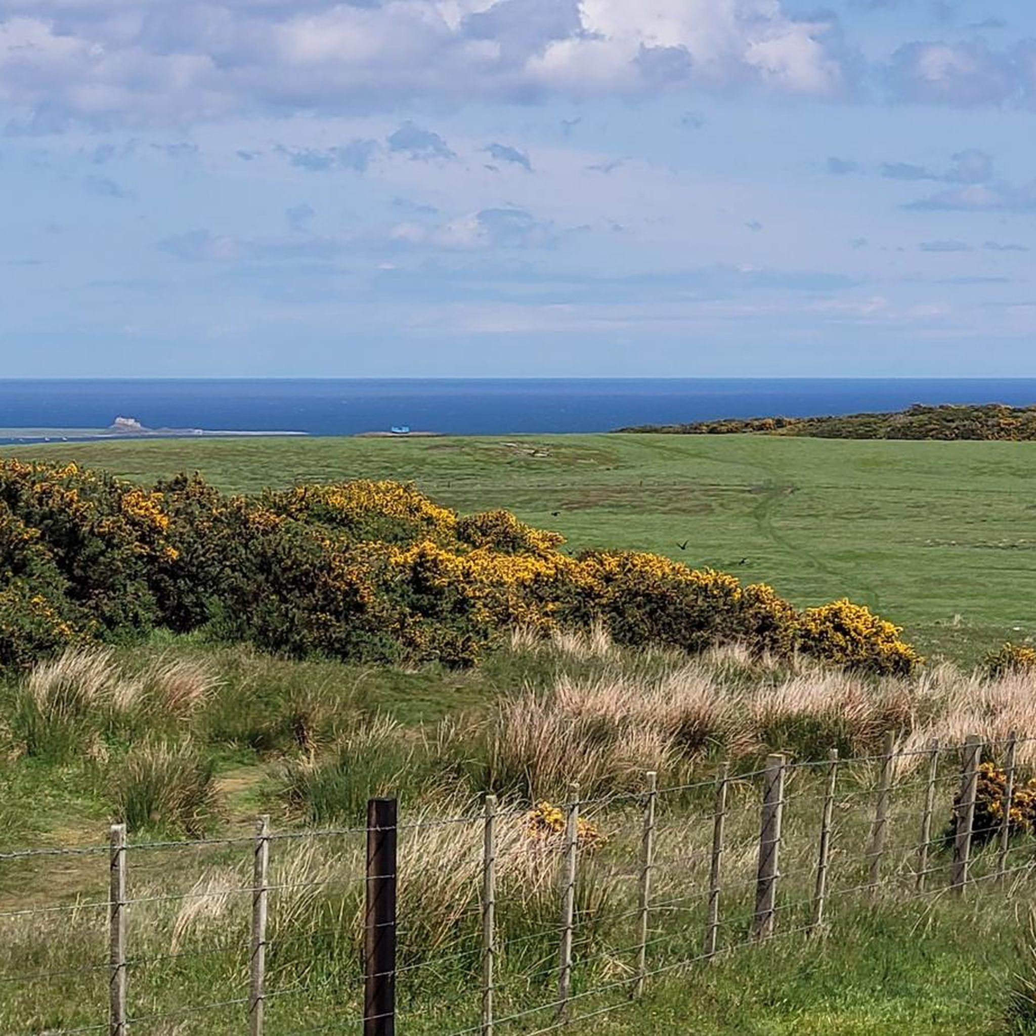
Emmanuel Head is one of those quirky, unexpected gems on Holy Island. The stark white pyramid looks almost out of place at first, but it’s actually steeped in history – built in 1810, it’s the oldest surviving daymark in England. Sailors would have used it as a navigational aid to guide them safely around the island’s treacherous coast, long before modern lighthouses and GPS. The walk out there is lovely, with wide-open views across the dunes, sea and Lindisfarne Castle in the distance. Standing by it, with seabirds wheeling overhead and the waves rolling in, you really get a sense of the island’s long connection with the sea. A peaceful, slightly off-the-beaten-path highlight – and a great photo stop too!
0
0

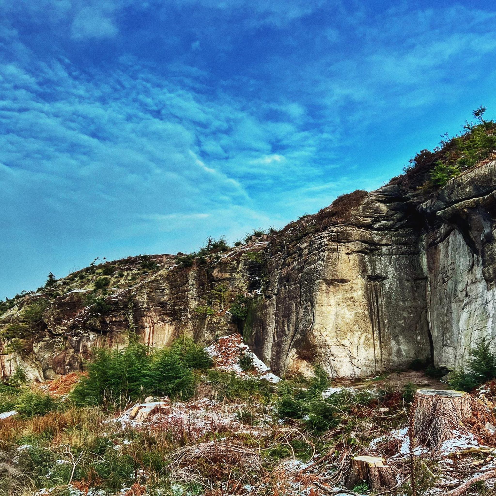
Ros Castle (Ros Hill) 316m P221 (1037ft) (DoBIH Hill ID: 2317) [JNSA 12818] County of Northumberland Definitive List summit.
0
0


Make sure you stay on the main path else it's easy to miss it
0
0

amazing experince, when you need to check tides time before any trip
1
0

The daymark on Emmanuel Head is a visual aid for boats navigating these waters. It's also a great target for a coastal run around the island. Look out for dolphins and seals out to sea.
1
0

Budle Bay is a square-shaped bay extending 1 mile wide along the North Sea coast of Northumberland, England. Positioned between Bamburgh and Lindisfarne, it features Budle Point on the eastern end. The bay is notable for its association with Bamburgh Castle Golf Club, the Northumberland Coast Path, and St Oswald's Way. Waren Burn and Ross Low are streams that converge into the bay, forming Budle Water as they flow eastward. The area is part of the Lindisfarne National Nature Reserve and is significant in geological conservation. The bay's geological composition includes limestone, Alston Formation rocks, and the quartz-microgabbro of the Whin Sill. Blown sand deposits shape the landscape, with Ross Links on one side. Historically, Budle Bay had a seaport named Waren, which operated until the early 20th century.
1
0
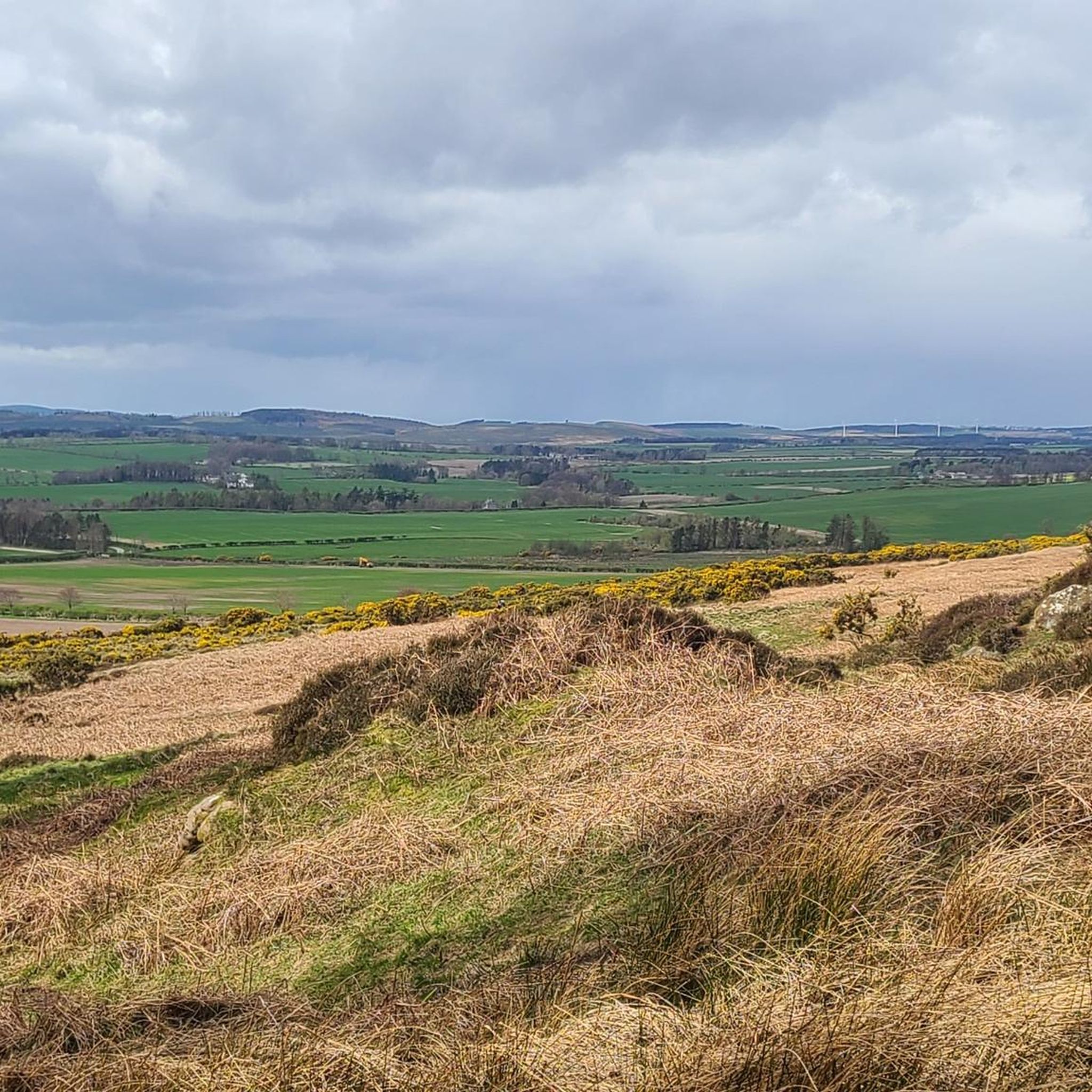
Ros Castle is a 3000-year-old Iron Age Hill Fort, at 315m it's also the highest point in the Chillingham Hills. There is a trig point and a toposcope building with four viewpoints and a labelled diagram for each. The views are superb. Managed by the National Trust but free and open access.
0
0
Τα πιο δημοφιλή αξιοθέατα Lowick

Εμπνεύσου με την εφαρμογή komoot για κινητά


Ανακάλυψε περισσότερα
Επέκτεινε την αναζήτησή σου για τις καλύτερες σπηλιές βλέποντας αυτούς τους οδηγούς με τα κορυφαία Lowick:
