Τα 15 καλύτερα ορεινά περάσματα Gunnison County
Είτε για τη θέα, είτε για τις αναβάσεις είτε για τις καταβάσεις, περιηγηθείτε στη λίστα μας με τα καλύτερα ορεινά περάσματα Gunnison County και κάντε την επόμενη περιπέτειά σας αξέχαστη. Από την κοινότητα, για την κοινότητα — κάθε ορεινό πέρασμα είναι μια αξιόπιστη προσωπική σύσταση, οπότε απλά βρείτε το αγαπημένο σας και ξεκινήστε.
Τελευταία ενημέρωση: 23 Ιουλίου 2026
Monarch Pass
Highlight • Ορεινό πέρασμα
Συμβουλή από

Cottonwood Pass
Highlight • Ορεινό πέρασμα
Συμβουλή από

Εγγράψου τώρα για να ανακαλύψεις μέρη σαν αυτό
Λάβε προτάσεις για τα καλύτερα single tracks, κορυφές και πολλά ακόμα συναρπαστικά υπαίθρια μέρη.
Εγγραφή δωρεάν
Monarch Pass Climb West
Highlight (Segment) • Αναρρίχηση
Συμβουλή από

Monarch Pass Climb East
Highlight (Segment) • Αναρρίχηση
Συμβουλή από
Cottonwood Pass Climb
Highlight (Segment) • Αναρρίχηση
Συμβουλή από
Lake Irwin
Highlight • Λίμνη
Συμβουλή από
Schofield Pass
Highlight • Ορεινό πέρασμα
Συμβουλή από

Cottonwood Pass West Side
Highlight (Segment) • Ορεινό πέρασμα
Μετάφραση από Google •
Συμβουλή από

Cumberland Pass Road (Gravel)
Highlight (Segment) • Ορεινό πέρασμα
Συμβουλή από

Continental Divide National Scenic Trail: Cottonwood South
Highlight (Segment) • Μονοπάτι
Συμβουλή από

Εγγράψου δωρεάν για να ανακαλύψεις ακόμα περισσότερα ορεινά περάσματα στο Gunnison County.
Εγγραφή δωρεάν
Έχεις ήδη λογαριασμό;
Ξεκίνα σήμερα με έναν δωρεάν λογαριασμό
Η επόμενη περιπέτειά σου σε περιμένει.
Σύνδεση ή εγγραφή
Δημοφιλή γύρω από Gunnison County
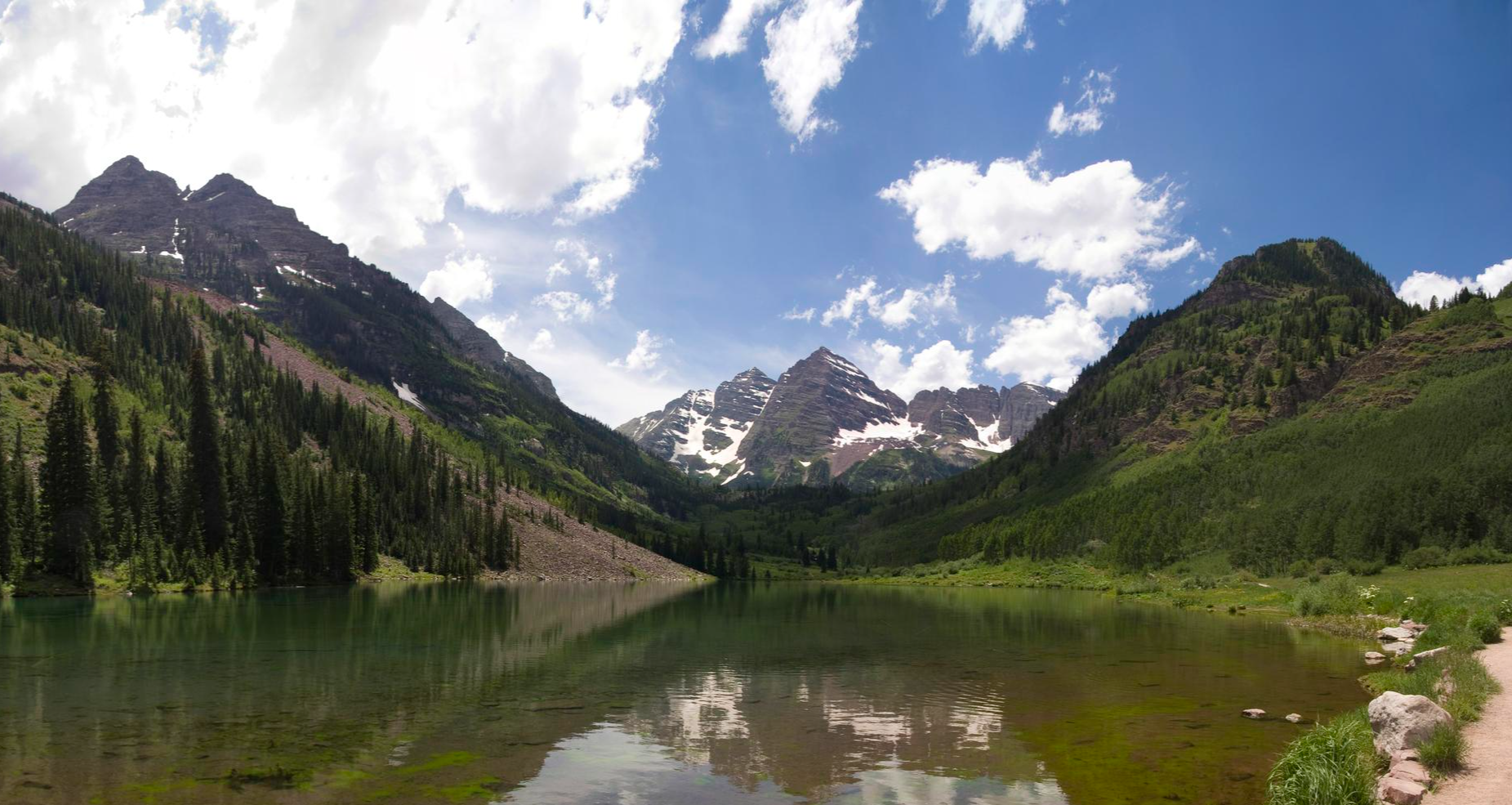
Four Pass Loop — Four times the challenge, four times the reward
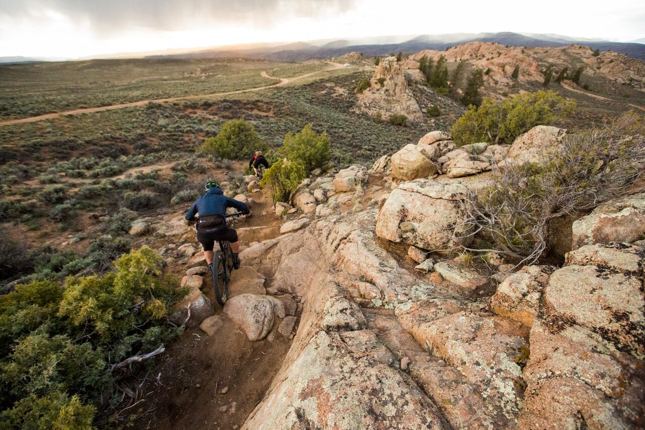
Hartman Rocks – rocky desert trails in Gunnison, Colorado

Mountain bike paradise around Salida in Colorado
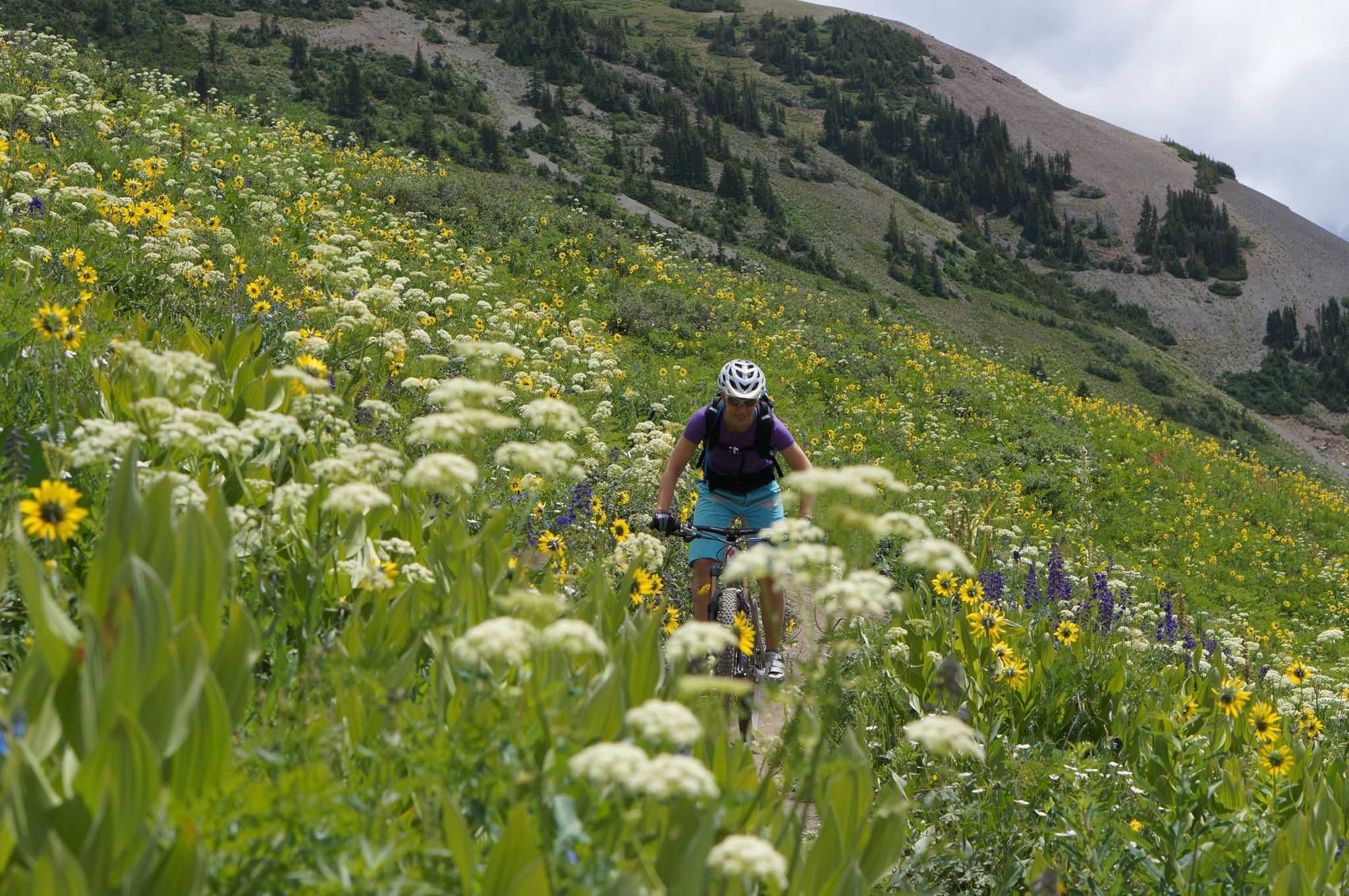
Mountain biking in the wildflower paradise of Colorado’s Crested Butte

Unforgettable MTB Adventures – IMBA Epic Trails in USA and Canada

Πεζοπορία Gunnison County
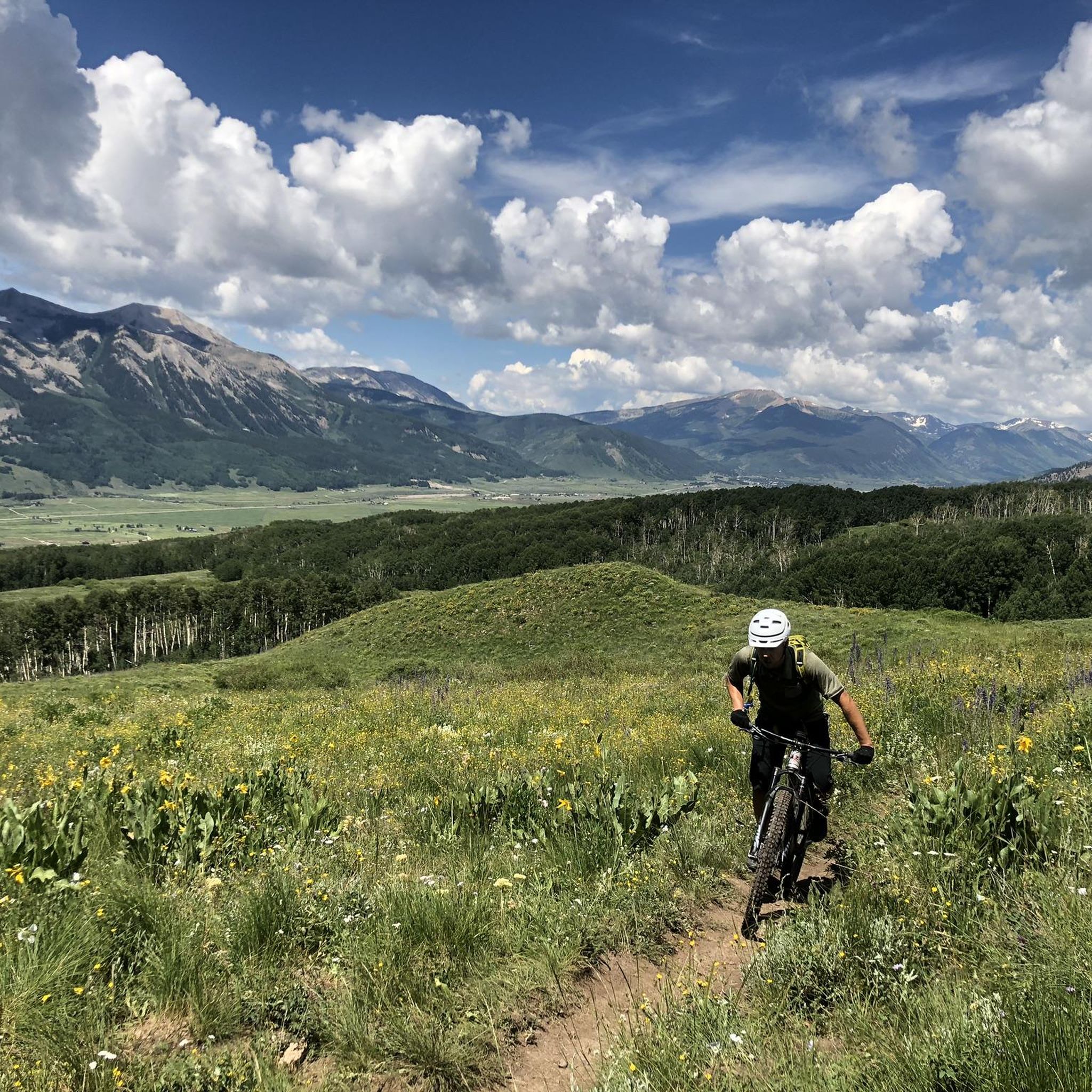
MTB μονοπάτια Gunnison County
Διαδρομές τρεξίματος Gunnison County
Διαδρομές ποδηλασίας Gunnison County
Ποδηλατικές διαδρομές Gunnison County
Άλλες περιπέτειες στο Gunnison County


Συμβουλές από την κοινότητα

Beautiful views on this easy trail. If you descend to Lost Lake, which is a stunning turquoise blue, you can make a lovely loop back to Cottonwool Pass.
0
0

Monarch Pass from the east is a classic road biking ascent on US Highway 50, taking you high into the Sawatch Range towards the Continental Divide. Starting around 8,100 feet, you'll climb approximately 11.3 to 11.5 miles, gaining about 3,000 feet to the 11,312-foot summit, with a moderate average gradient around 4.9-5.1% that ramps up slightly after the initial miles. You'll follow the Arkansas River valley and climb through forests, and while you're in the sun for much of this side, the panoramic views from the summit are truly spectacular. Be prepared for the altitude and moderate traffic on this well-traveled mountain highway.
0
0
The Monarch Pass climb from the west, starting in Sargents is a classic and scenic road biking ascent on US Highway 50. Over approximately 10 to 11.5 miles, you'll climb around 2,750 to 2,850 feet at a consistent average gradient between 5% and 6%, winding your way up into the Sawatch Range. As the road is often cut into the mountainside, you'll ride through forested areas with glimpses down to Agate Creek below, and the scenery becomes increasingly open with expansive mountain views as you near the 11,312-foot summit. Be aware that while the road is good, it can have moderate traffic, and you'll be dealing with significant altitude as you climb higher.
0
1
Climbing Cottonwood Pass westwards from Buena Vista is a journey to extreme altitudes on the Continental Divide. Prepare for approximately 20-25 miles where you'll gain over 4,100ft to reach the stunning 12,126ft paved summit. This notoriously steady climb averaging only around 3-4% with ramps around 6-8%. You'll enjoy beautiful scenery as you climb through extensive aspen groves which are spectacular in fall. The road over the pass is seasonally closed so be sure to check it's open before attempting this climb.
0
0

Cottonwood Pass is the high point along the road between Buena Vista and Taylor Park Reservoir. This point on the road is well above treeline and is along the Colorado Trail. It's worth visiting even if you don't want to journey far from the car.
1
0

This section of the Continental Divide National Scenic Trail leads from the Cottonwoods Pass into a southern direction. Along this beautiful hike, you will pass nice creeks and can enjoy amazing views of the Gunnison National Forest. The trail can be shortened or extended as desired.
0
0

Cumberland Pass Road also known as Forest Road 765 is a well-maintained dirt road that ventures into the heart of the Rockies. This ultra-high mountain pass weaves through the captivating Sawatch Range in the Gunnison National Forest. This pass has been connecting the old mining towns of Pitkin and Tincup since 1882 when it was constructed to enable wagon travel. Along the way, you'll encounter the remnants of old mining houses and artifacts.
0
0
Cottonwood Pass, rising to the west of Buena Vista, offers a spectacular journey over the Continental Divide. This mountain pass is renowned for its stunning aspen groves that paint the landscape with vibrant fall colors. What makes it even more special is that it stands as the highest paved mountain pass crossing the Continental Divide.
0
0
Οι πιο δημοφιλείς διαδρομές στο Gunnison County
Τα πιο δημοφιλή αξιοθέατα στο Gunnison County

Εμπνεύσου με την εφαρμογή komoot για κινητά


Δεν βρήκες αυτό που ψάχνεις;
Βρες ακόμα πιο εντυπωσιακά ορεινά περάσματα στο Gunnison County οργανωμένα ανά περιοχή:
Ανακάλυψε περισσότερα
Δες ακόμα περισσότερα επικά ορεινά περάσματα σε αυτούς τους οδηγούς στο Gunnison County:
