De bedste mountainbike-spor omkring Woodgreen
4,4
(187)
786
Cyklister
87
Cykelture
Mountainbike omkring Woodgreen er en fantastisk måde at opleve mere af landskabet på. Men det kan ofte være svært at vide, hvor man skal starte. For at hjælpe dig med at finde de bedste mtb-stier omkring Woodgreen, her er de bedste ture!
Sidst opdateret: 30. juli 2026
3,5
(4)
10
Cyklister
39,4km
03:03
380m
380m
This moderate mountain biking loop covers 24.5 miles (39.4 km) with 1260 feet (384 metres) of elevation gain, typically taking around 3 hours and 3 minutes. You will ride through…
4,3
(18)
77
Cyklister
32,8km
02:12
250m
250m
Middel mountainbiketur. Kræver god kondition. Egnet for alle færdighedsniveauer.

Opret gratis konto
4,1
(7)
13
Cyklister
35,2km
02:44
360m
360m
Svær mountainbiketur. Kræver god kondition. Kræver avancerede køreteknikker. På nogle strækninger kan du blive nødt til at skubbe din cykel.
4,3
(4)
14
Cyklister
Let mountainbiketur. Passer til alle konditionsniveauer. Egnet for alle færdighedsniveauer.
5,0
(1)
13
Cyklister
Middel mountainbiketur. Kræver god kondition. Egnet for alle færdighedsniveauer.
Få adgang til flere ruter og anbefalinger fra andre eventyrere.
Opret gratis konto
Har du allerede en konto?
Vores ruteanbefalinger er baseret på tusindvis af vandreture, cykelture og løbeture, som andre har gennemført på komoot.
Start i dag med en gratis konto
Dit næste eventyr venter.
Log ind eller opret konto
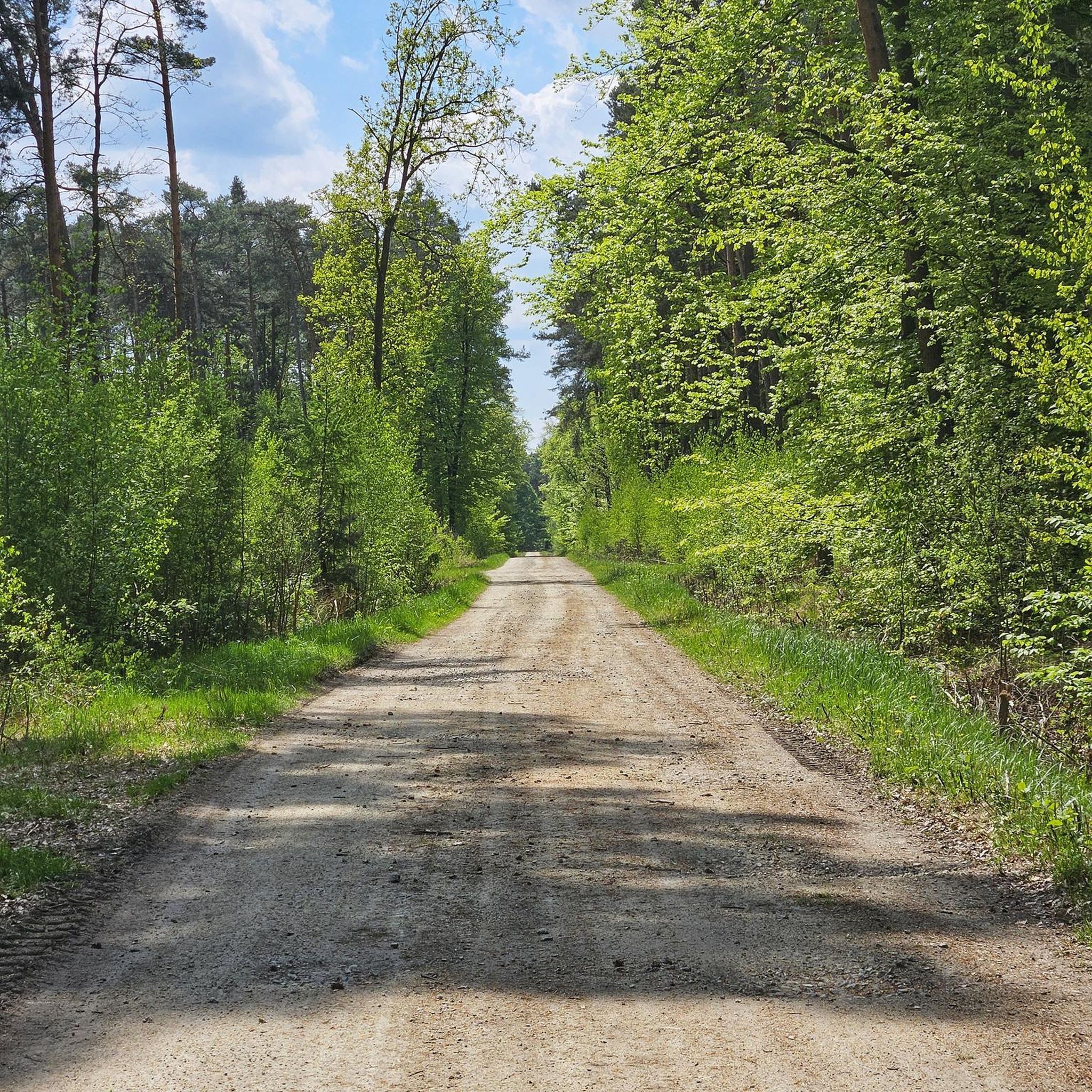
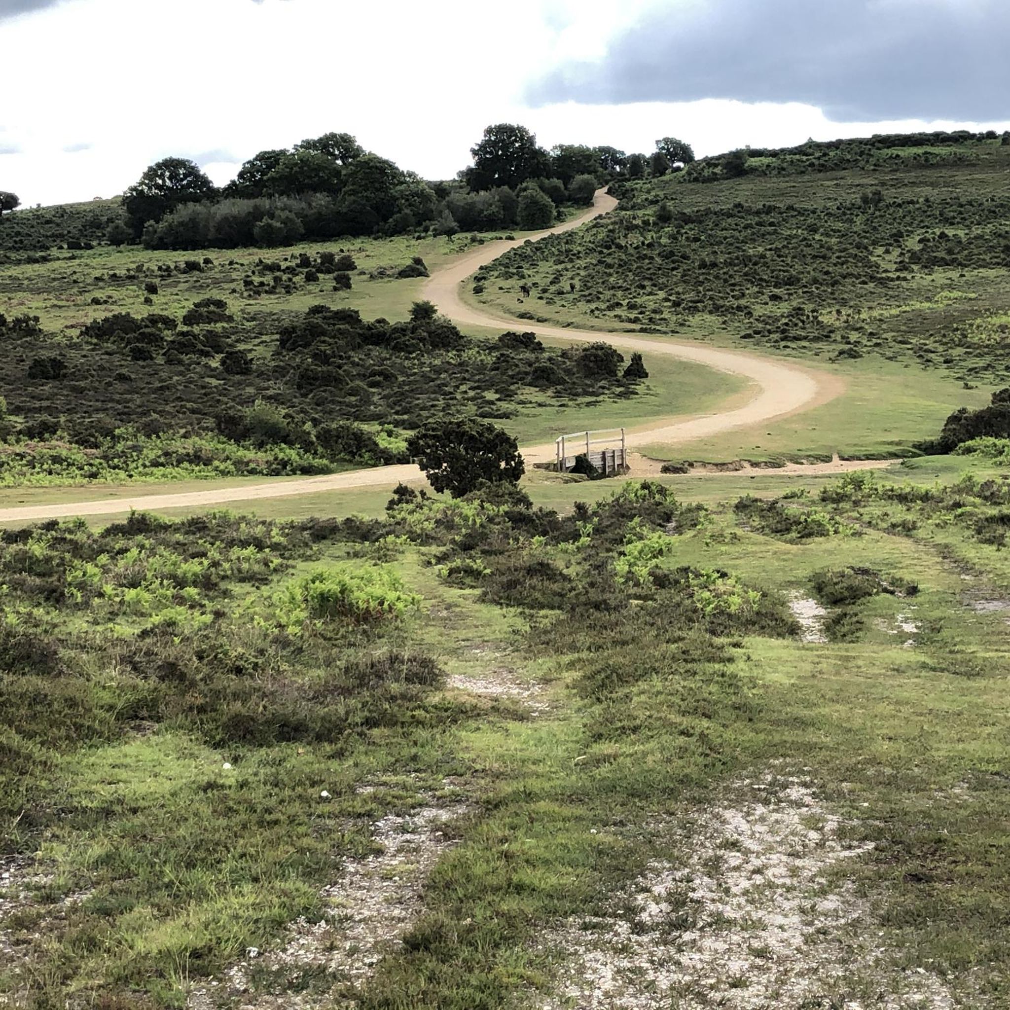
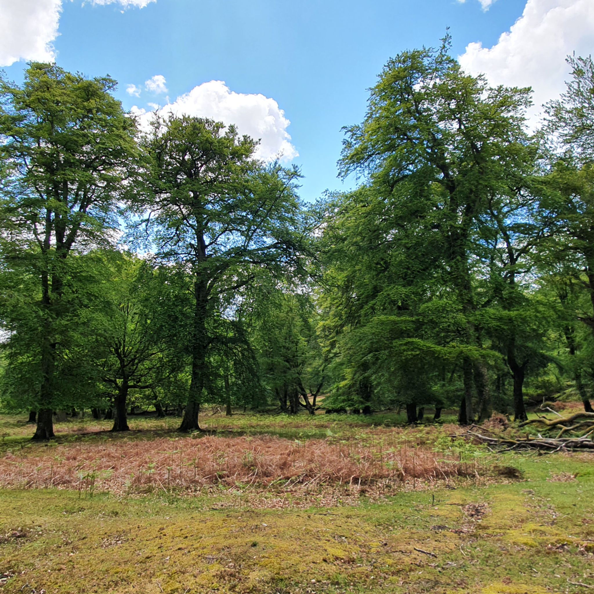
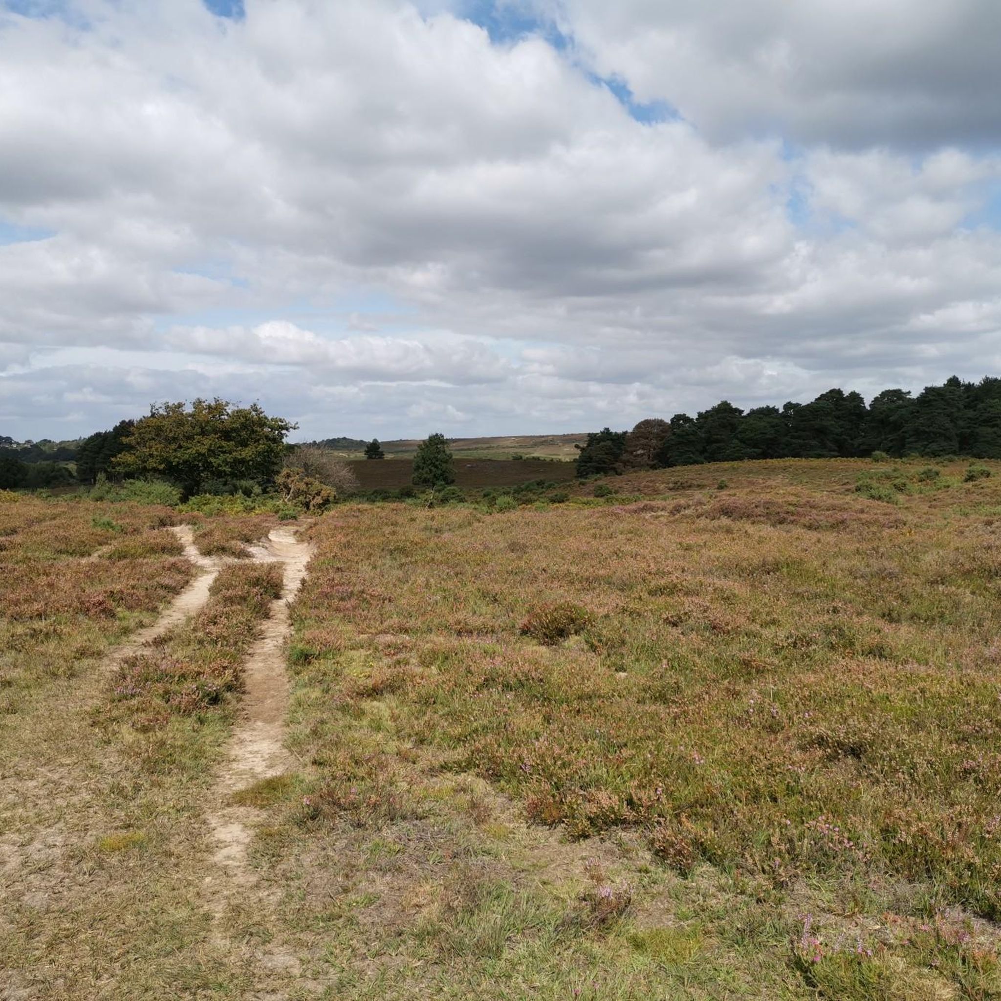
Tips fra fællesskabet

lige ud af bagsiden af søen er et godt grusspor, der fører til Nomansland
0
0

Bliver meget hjulspor i vintermånederne, men når det er tørt, er det fint
0
0

The "Fordingbridge Bridge," known as the Great Bridge, is a historic seven-arched medieval stone bridge in the town of Fordingbridge, Hampshire, England, over the River Avon. While the current structure dates from various periods, including significant 19th-century widening, the original medieval bridge was built before 1252. It remains a prominent landmark, with views of the bridge best enjoyed from the nearby park or The George pub.
0
0

there's a few ways to climb here, all rewarding
0
0
Bokerley Dyke is a substantial linear earthwork, approximately 5.75 kilometers (3.6 miles) long, located on Cranborne Chase. It runs along part of the border between Dorset and Hampshire, specifically between Woodyates and Martin. It is part of a larger Scheduled Monument that also includes Grim's Ditch and other earthworks. The dyke has a multi-period history. It is believed to have originated in the Bronze Age or Early Iron Age as an important political and cultural boundary. In the 1st century, it was cut through by a Roman road, Ackling Dyke, which ran between Old Sarum and Badbury Rings. In the 4th century, the dyke was remodeled and brought back into use. During this period, the Roman road was blocked. A coin of Valens found during excavations dates this activity to shortly after 364 AD, with some sources suggesting it was built between 367-368 AD. This remodeling may have been a defensive measure against attacks on Britain by Picts, Scots, and Saxons. The Roman road was eventually reopened, but the dyke may have continued to be used as a boundary after the Roman administration ended. Today, it still forms part of the border between the counties of Dorset and Hampshire.
0
0

Didn’t stop there this time, we arrived a little early, looked great, we’d already checked the menu.
0
0

Don't actually lean your bike up against the black post box. It is a monument not a bike post. There are plenty of trees nearby!
0
0
Mest populære ruter omkring Woodgreen
Mest populære seværdigheder omkring Woodgreen

Bliv inspireret med komoot mobile app


Udforsk mere
Se de bedste MTB-spor i andre regioner.
