De 20 bedste naturmonumenter i Landkreis Bad Kreuznach
Landkreis Bad Kreuznachs landskab er et smukt sted at udforske — noget du bedst kan opleve ved at besøge et af vores 20
smukke naturmonumenter i Landkreis Bad Kreuznach. For at hjælpe dig med at finde det rette kan du se alle de detaljer, du behøver for at udforske de bedste naturmonumenter og bedre planlægge dit næste eventyr i naturen!
Sidst opdateret: 3. august 2026
Rheingrafenstein Castle Ruins
Highlight • Slot
Enjoy the nature!
Oversat af Google •
Tip af

View of Bad Münster am Stein-Ebernburg from Rotenfels
Highlight • Udsigtspunkt
Oversat af Google •
Tip af

Tilmeld dig nu for at opdage steder som dette
Få anbefalinger til de bedste singletracks, toppe og mange andre spændende udendørssteder.
Opret gratis konto
View of Burg Rheingrafenstein
Highlight • Udsigtspunkt
View from the town of Bad Münster am Stein.
Its origins are legendary: the devil is said to have built the castle on the steep, 245 m …
Oversat af Google •
Tip af

View of the Nahe River and Rotenfels Cliffs
Highlight • Udsigtspunkt
Oversat af Google •
Tip af

View of the Nahe Valley and Bad Münster am Stein from the Gans
Highlight • Udsigtspunkt
Oversat af Google •
Tip af

Silbersee (Lemberg Nature Reserve)
Highlight • Sø
Oversat af Google •
Tip af

Rock Hermitage Bretzenheim
Highlight • Historisk sted
completely in the rock carved place of worship, only Felseneremitage north of the alps
Oversat af Google •
Tip af

View of Rotenfels Cliff
Highlight • Udsigtspunkt
Oversat af Google •
Tip af

Adlerdenkmal auf dem Mühlberg
Highlight • Mindesmærke
Oversat af Google •
Tip af

Elisabethenwehr i nærheden
Highlight • Andet (menneskeskabt)
Oversat af Google •
Tip af

Opret en gratis konto for at opdage endnu flere naturmonumenter i Landkreis Bad Kreuznach.
Opret gratis konto
Har du allerede en konto?
Start i dag med en gratis konto
Dit næste eventyr venter.
Log ind eller opret konto
Populært i nærheden af Landkreis Bad Kreuznach

European Divide Trail — 7,600 km across the continent
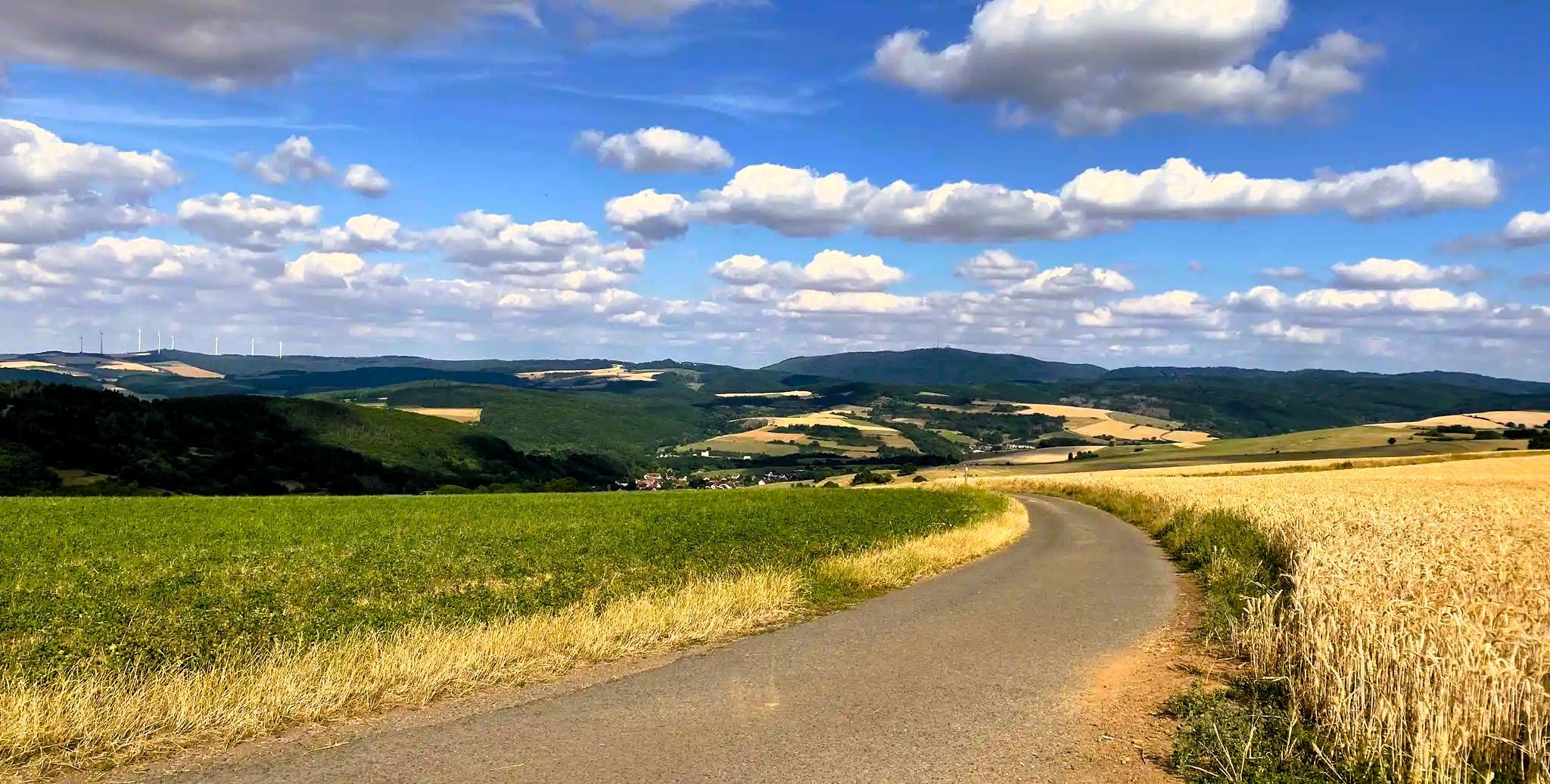
Palatinate High Route – Hike a hidden gem in Southwest Germany

Saar-Hunsrück Climb – Hike in Germany where culture and nature meet
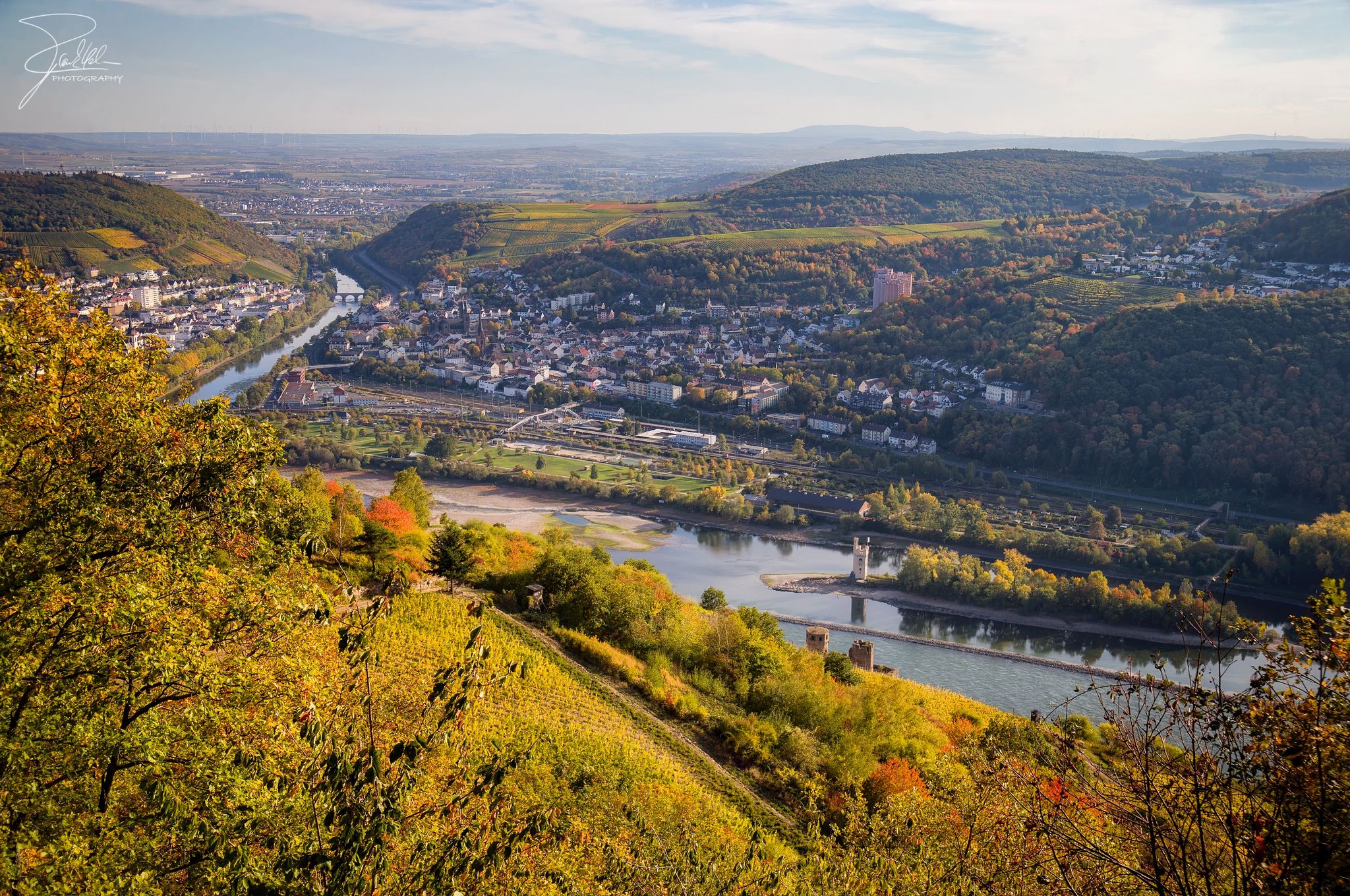
The Nahe Cycle Path – Between Rocks and Vines
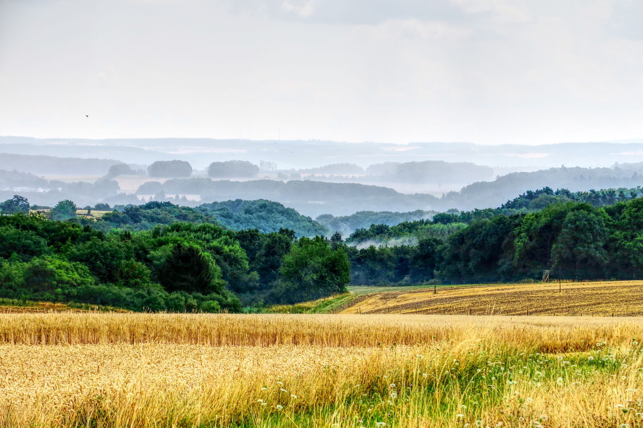
The National Natural Landscapes in Rheinland-Pfalz
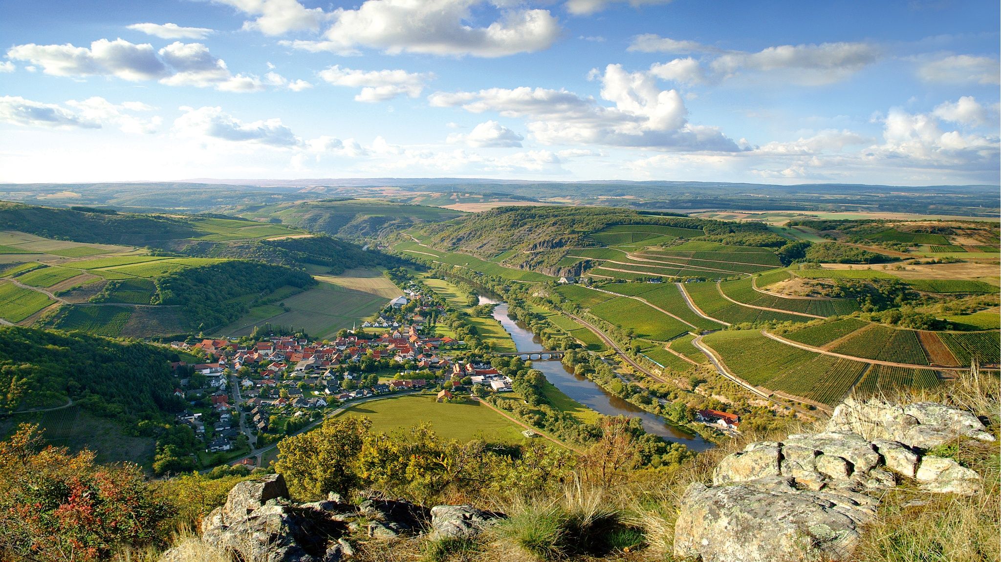
Top 10 hiking loops on the Nahe – Dream Loops and Vitaltours
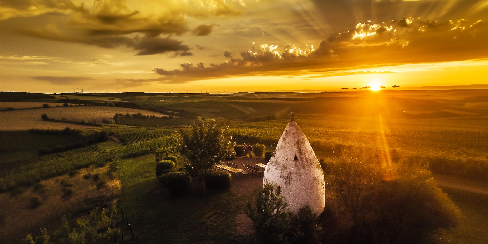
Hiking joy in Rheinhessen – experience magical moments
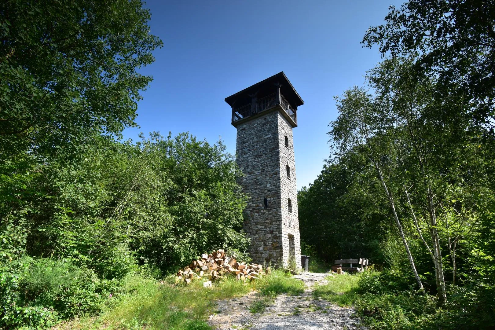
Celts, barrows and Roman roads - Keltenweg Nahe-Mosel

#GoFurther – discover the views of Germany!
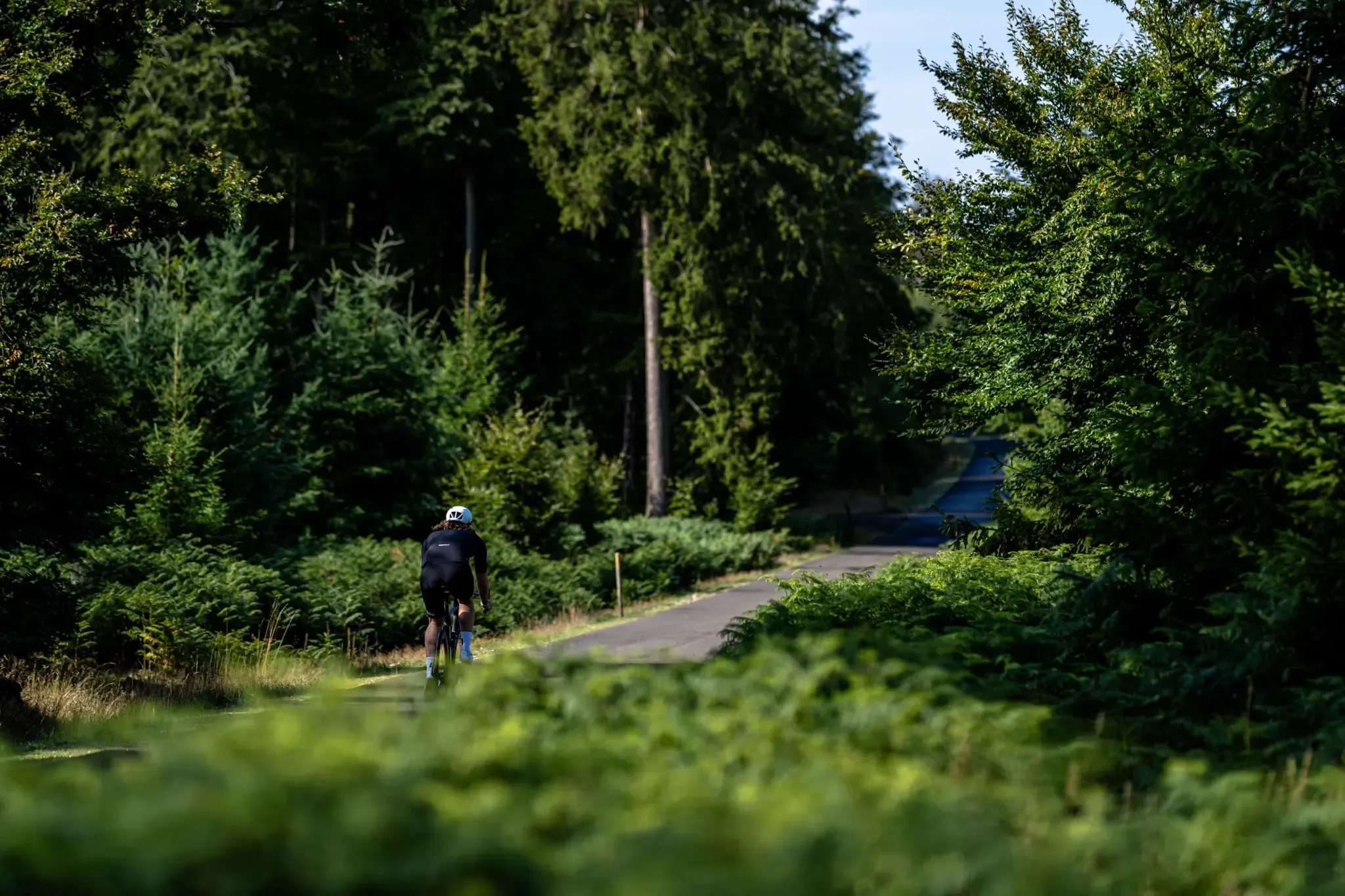
Road and gravel bike paradise – Hunsrück-Nahe Region
Andre eventyr i Landkreis Bad Kreuznach


Tips fra fællesskabet

Rotenfels: Alpine feeling on the bike path! Watch out, a giant is in sight! Shortly after Bad Münster am Stein-Ebernburg, you pass the Rotenfels massif, the highest cliff face in Germany north of the Alps. We're talking about over 200 meters of pure rock, rising vertically above the Nahe River. This isn't a hill anymore; it's a geological shocker! The entire mass consists of reddish porphyry rock, which glows fiery red, especially in the evening (or in good light). Truly spectacular. From the bike path, you can see the full force of it. You suddenly feel very small, which can be quite relaxing after 50 kilometers in the saddle. Fun fact: Up on the Rotenfels is a climbing area – only for pros! I prefer to stay on my 25mm tire asphalt and enjoy the view from below. No need to climb too high; the panorama from here is already unbeatable! My tip: Stop and enjoy the moment. Take a photo with this rock colossus as proof.
1
0
👑 Rheingrafenstein Castle Ruins – The Rock Boss on the Cycle Path Tip: Stop here! The Rheingrafenstein ruins sit dramatically perched on a 136-meter-high porphyry cliff above the Nahe River – one of the most impressive sights of the entire tour. The castle was the ancestral seat of the famous Wildgraves and Rhinegraves (until it was blown up in 1689). The view from the cycle path is phenomenal! If you really want to go up (and have enough energy), you can take the small hand-pulled ferry across and take the steep hiking trail to the ruins. It's worth it for the view over the Nahe Valley, but honestly: My legs were already tired enough from cycling. The panoramic view from below is worth its weight in gold! A must-have for your photo collection!
1
0

Rheingrafenstein Castle sits enthroned on a steep porphyry cliff (245 meters high) directly above the Nahe River near Bad Münster am Stein-Ebernburg. Legend has it that the devil himself built the castle—a reference to its dramatic location and mystical aura. In fact, it likely dates back to the 11th century and was the ancestral seat of the Lords of Stein, later the Wildgraves and Rhinegraves. In 1689, it was blown up by French troops under Louis XIV, and since then it has been a ruin—but an extremely impressive one.
3
0

Elisabethenwehr var utilgængelig for vandfaunaen indtil 2009 og blev i forbindelse med flere byggeforanstaltninger omdannet til en "grov bundglider", hvor der f.eks. ved hjælp af store bloksten blev bygget små trin, som derefter blev dækket med små sten og grus. For de vandrende fisk (🐟!) blev der bygget "grovrender", dvs. vandoverstrømmede render i dæmningen, inden for hvilke fiskene kan passere dæmningen. Siden da kan man med meget tålmodighed også observere den lokale vandslange jage der. Det hele var en af de mange foranstaltninger til implementering af EU's vandrammedirektiv og derfor også betydeligt støttet af EU. Kilde: "LEVENDE VANDLØB I RHEINLAND-PFALZ - En foreløbig status for implementeringen af vandrammedirektivet"
3
0

Bad Kreuznach, Nahe (110 m o.h.); Nahe i forgrunden og bredvegetation til højre i naturreservatet „Kurpark Bad Kreuznach“; den synlige faldstrækning erstattede i 2009 den tidligere Elisabethenwehr. https://de.m.wikipedia.org/wiki/Datei:Bad_Kreuznach,_die_Nahe.JPG
3
2

Absolutely impressive, both the panoramic view and the view down into the Nahe Valley
4
0

The weir, the nearby river and the view of the surrounding hills offer a wonderful view, especially when the sun is setting.
7
0

Beautiful rock with the Rheingrafenstein castle ruins. It is said that the devil is said to have built the castle. In any case, the castle was blown up by the French troops under Louis XIV.
4
2
Mest populære ruter i Landkreis Bad Kreuznach
Mest populære seværdigheder i Landkreis Bad Kreuznach

Bliv inspireret med komoot mobile app


Fandt du ikke det, du ledte efter?
Find endnu flere imponerende naturmonumenter i Landkreis Bad Kreuznach ved at se top-Highlights region for region:
Udforsk mere
Udvid din søgning efter de bedste huler ved at kigge på disse guider til de bedste i Landkreis Bad Kreuznach:
